The best road cycling routes around Saint-Léger
4.6
(22)
737
riders
122
rides
Road cycling routes around Saint-Léger traverse a landscape characterized by its river valleys, notably the Lot and Baïse, and the Canal Latéral à la Garonne. The region offers a mix of flat sections along waterways and gently rolling hills, providing varied terrain for cyclists. This area features picturesque rural roads connecting small towns and historical sites.
Best road cycling routes around Saint-Léger
- The most popular road cycling route is Tour from Aiguillon ending at Croix du Pech-de-Berre, a 38.7…
Last updated: July 8, 2026
3.0
(1)
2
riders
62.3km
02:48
550m
550m
This moderate 38.7-mile (62.3 km) road cycling route from Aiguillon offers panoramic views from Croix du Pech-de-Berre, with challenging fin
73
riders
79.0km
03:26
610m
610m
Moderate road ride. Good fitness required. Mostly well-paved surfaces and easy to ride.

Sign up for free
5.0
(1)
42
riders
87.8km
03:35
490m
490m
Moderate road ride. Good fitness required. Mostly well-paved surfaces and easy to ride.
26
riders
61.4km
02:46
200m
200m
Moderate road ride. Good fitness required. Some segments of this route may be unpaved and difficult to ride.
5.0
(1)
8
riders
55.3km
02:27
430m
430m
Moderate road ride. Good fitness required. Mostly well-paved surfaces and easy to ride.
Get access to more routes and recommendations from other explorers.
Sign up for free
Already have an account?
Our route recommendations are based on thousands of hikes, rides, and runs completed by other people on komoot.
Start today with a free account
Your next adventure awaits.
Login or Signup
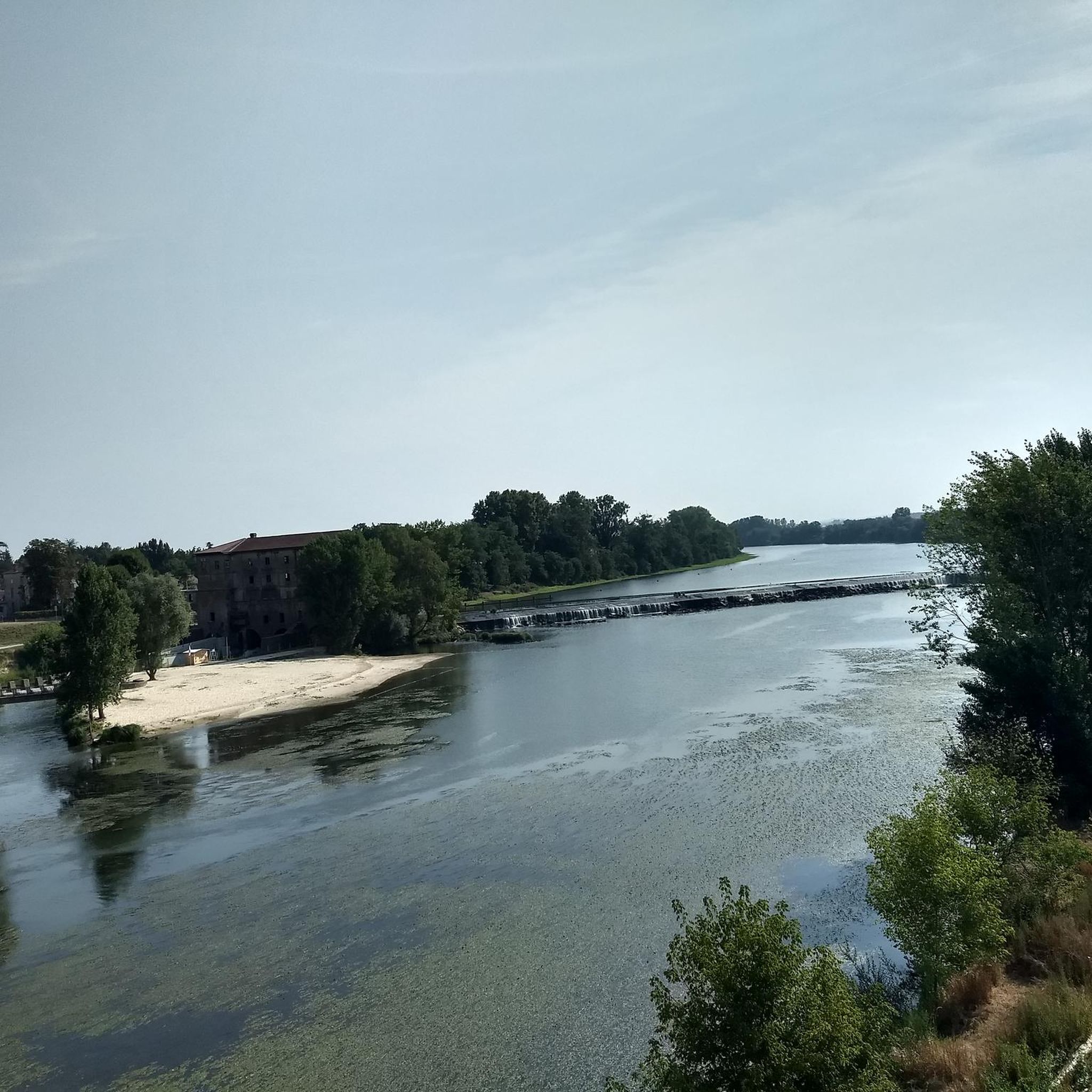


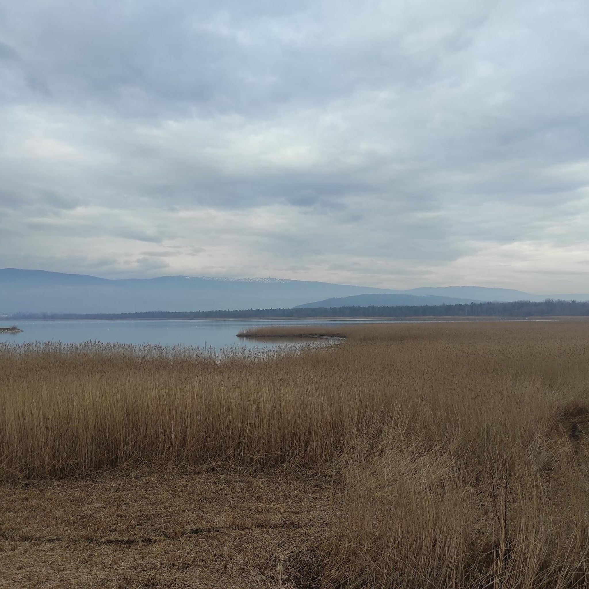
Tips from the Community

The Halle aux Chanvres is one of the emblematic buildings of Mas-d’Agenais. Built in the 17th century, it had particular importance in the hemp trade in the region, an activity that supported a large part of the local population at the time. It features an open structure and traditional architecture.
0
0

17th-century grain hall built with beams salvaged from the castle razed in 1616
0
0

A highly recommended accommodation along the way.
0
0

Very pleasant and shady and not too crowded.
0
0

A beautiful tour along the canal. Approx. 5 km before, there is a great tapas bar on the other side of the canal. You shouldn't miss it
0
0

The village of Mas-d'Agenais is full of treasures! With its magnificent market hall, Romanesque church, and stunning ancient statue, it invites you on a journey through the centuries. Nestled on the banks of the Garonne, it's a must-see stop for exploring the region's treasures.
0
0

Very pleasant route, mostly asphalted in the shade and at the water's edge of course. However, the Lot-et-Garonne part of this route is more bumpy, the roots lift the tar and make bumps that are sometimes quite significant, so don't be surprised. Another negative point, it is sometimes difficult to find free access water taps, even in the nautical stops you will most of the time have to go and ask for water in the bars or restaurants along the track, or leave the track to go directly to the village cemeteries.
1
0

Water source, good supply point.
0
0
Frequently Asked Questions
How many road cycling routes are available around Saint-Léger?
There are over 120 road cycling routes around Saint-Léger, offering a wide range of options for different skill levels. The region's landscape, characterized by river valleys and gently rolling hills, provides varied terrain for cyclists.
Are there easy road cycling routes suitable for beginners in Saint-Léger?
Yes, Saint-Léger offers 17 easy road cycling routes. These often follow the flatter sections along the Lot and Baïse rivers or the Canal Latéral à la Garonne, providing a gentle introduction to the area's scenic beauty.
What kind of terrain can I expect on road cycling routes in Saint-Léger?
Road cycling routes around Saint-Léger feature a mix of terrain. You'll find flat sections along the river valleys and the Canal Latéral à la Garonne, interspersed with gently rolling hills that connect small towns and historical sites. This variety caters to different cycling preferences.
Are there any long-distance road cycling routes in the Saint-Léger area?
Yes, Saint-Léger has numerous long-distance options. For example, the Bridge over the Baïse in Vianne – Nérac loop from Aiguillon is a moderate 52.8-mile (85.1 km) trail that takes you through river valleys and historical towns.
What are some challenging road cycling routes for advanced riders in Saint-Léger?
For advanced riders seeking more challenge, Saint-Léger offers 13 difficult road cycling routes. These typically feature greater elevation gains and longer distances, providing a more strenuous experience across the region's rolling hills.
Can I find circular road cycling routes in Saint-Léger?
Yes, many routes in Saint-Léger are designed as loops. An example is the View of Tonneins loop from Aiguillon, a moderate 48.2-mile (77.6 km) path offering expansive views of the Tonneins area.
What can I see along the road cycling routes in Saint-Léger?
The routes often pass by significant landmarks and natural features. You might encounter sections of the Canal Latéral à la Garonne, historical churches like Saint Christopher's Church in Vianne, or the Historic Center of Clairac. Many routes offer views of the Lot and Baïse river valleys.
What do other road cyclists enjoy most about road cycling in Saint-Léger?
The area is highly rated by the komoot community, with an average score of 4.6 stars from over 20 reviews. Cyclists often praise the picturesque rural roads, the varied terrain from flat canal paths to rolling hills, and the charming small towns encountered along the way.
Are there any routes that follow the Canal Latéral à la Garonne?
Yes, the Canal Latéral à la Garonne is a prominent feature in the region. The Canal Latéral à la Garonne – Canal view loop from Aiguillon is a 38.7-mile (62.2 km) route that offers scenic views along the canal.
What is a good moderate-difficulty route to explore the river valleys?
A great option is the Moulin de Grateloup – Bridge Over the Lot River loop from Aiguillon. This 34.3-mile (55.3 km) route takes you through the beautiful Lot river valley, offering a balanced ride with moderate elevation.
When is the best time of year for road cycling in Saint-Léger?
The region generally experiences mild weather, making spring and autumn ideal for road cycling. During these seasons, temperatures are comfortable, and the natural scenery is particularly vibrant. Summer can also be pleasant, especially in the mornings or late afternoons, though it can get warmer.
Most popular attractions around Saint-Léger

Get inspired with the komoot mobile app


Explore more
Browse the best Road cycling routes in other regions.
