The best walks and hikes around Lorcières
4.5
(153)
831
hikers
69
hikes
Hiking around Lorcières offers exploration of a landscape shaped by ancient volcanic activity, situated within the Cantal department of France. The region features a diverse terrain of mountains, deep valleys, and geological formations. Hikers can expect to encounter the rugged peaks and rolling pastures of the Monts du Cantal, as well as the mixed rocky and wooded sections of the Margeride massif. Dramatic gorges carved by the Truyère River also characterize the area, presenting visually striking environments for trails.
Best…
Last updated: June 29, 2026
4.3
(15)
42
hikers
16.7km
04:42
340m
340m
Moderate hike. Good fitness required. Mostly accessible paths. Sure-footedness required.
4.6
(10)
53
hikers
10.5km
03:03
280m
280m
Moderate hike. Good fitness required. Easily-accessible paths. Suitable for all skill levels.

Sign up for free
4.4
(5)
15
hikers
11.3km
03:09
210m
210m
Moderate hike. Good fitness required. Easily-accessible paths. Suitable for all skill levels.
4.8
(6)
23
hikers
14.7km
04:19
410m
410m
Moderate hike. Good fitness required. Easily-accessible paths. Suitable for all skill levels.
4.0
(1)
15
hikers
8.64km
02:27
190m
190m
Moderate hike. Good fitness required. Easily-accessible paths. Suitable for all skill levels.
Get access to more routes and recommendations from other explorers.
Sign up for free
Already have an account?
Our route recommendations are based on thousands of hikes, rides, and runs completed by other people on komoot.
Start today with a free account
Your next adventure awaits.
Login or Signup

Tips from the Community

Historical wealth - Magnificent landscapes - Slightly difficult hike, good physical condition required.
0
0

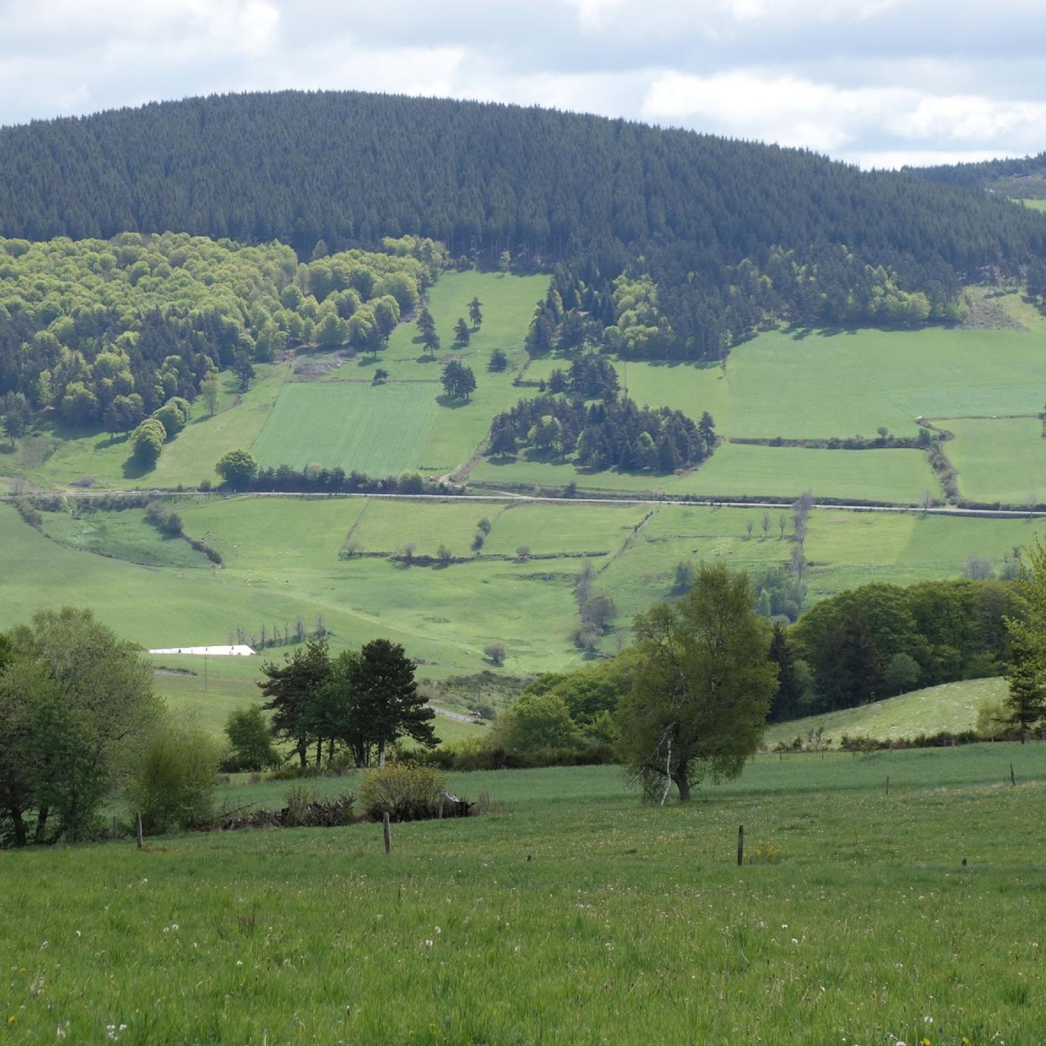
Mont Mouchet is a peak that is part of the Margeride massif. There, you'll find very rocky areas and other more wooded areas, composed of beech and fir forests. As a result, the landscapes are fabulous. Mont Mouchet is also a site classified as a High Place of the Resistance in Auvergne. From here, you can enjoy a superb 360° panorama.
0
0
The Mont Mouchet Museum and Memorial pay tribute to Lucien and Pierrot, who, in 1944, joined one of France's five maquis. They committed to preventing the German army stationed to the south from advancing toward Normandy. Through a tour of authentic objects, documents, photos, and videos, you will discover the historical events that brought Mont Mouchet to life.
0
0
Very nice hike, I recommend starting in the opposite direction in order to finish by going down the scree rather than going up... otherwise the hike is mainly on shaded paths...
0
0


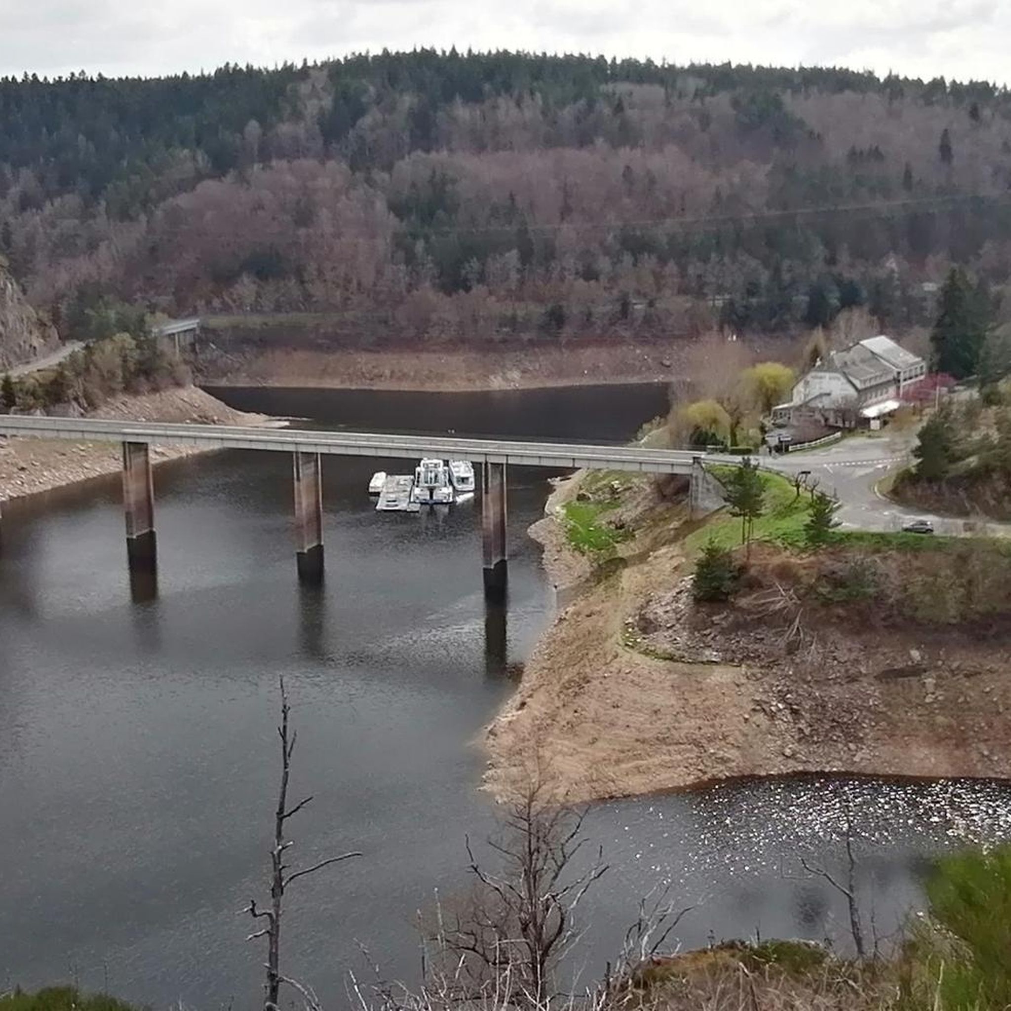
Footbridge over the Truyere at the birth of the Granval dam reservoir
0
0

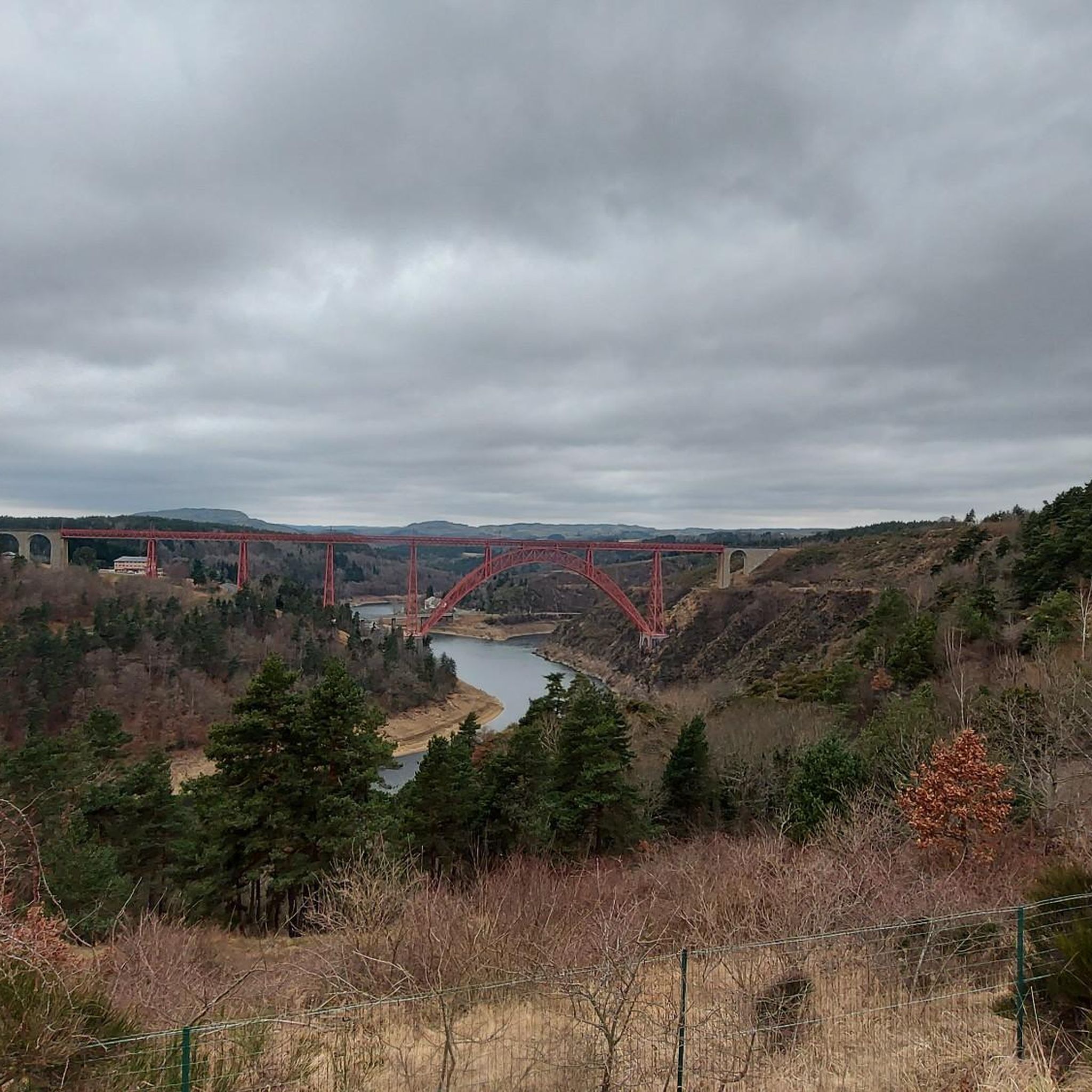
Superb view of the Garabit viaduct, allowing you to cross the Truyère gorges. This metal structure, created by Gustave Eiffel, is 565 meters long and rises to 122 meters above the water. It was at one time the “highest viaduct in the world”!
0
0

Impressive viaduct designed by Eiffel. Go as close as possible for snaps.
0
0
Frequently Asked Questions
What kind of terrain can I expect when hiking around Lorcières?
The Lorcières area, situated in the Cantal department, is defined by its volcanic origins. You'll encounter a diverse landscape featuring the rugged peaks and rolling pastures of the Monts du Cantal, mixed rocky and wooded sections of the Margeride massif, and dramatic gorges carved by the Truyère River. This creates a visually striking environment with varied terrain.
How many hiking trails are available in the Lorcières region?
There are over 60 hiking trails available around Lorcières. These routes cater to various skill levels, from easy family walks to more challenging, longer excursions through the region's diverse landscapes.
Are there any easy hiking trails suitable for families in Lorcières?
Yes, Lorcières offers several easy trails perfect for families. For example, the Mont Mouchet loop from Mont Mouchet is an easy 3.8-mile (6.1 km) path that provides access to the scenic Mont Mouchet area.
What are some notable natural attractions or landmarks to see while hiking in Lorcières?
The region boasts several interesting natural features. You can visit the Summit of Mont Mouchet for panoramic views, or explore The Fairy Gate, a unique balanced rock formation above the Truyère gorges. The Valadour Footbridge in Chaliers also offers a point of interest over the Truyère River.
What is the best time of year to go hiking in Lorcières?
The best time for hiking in Lorcières is generally during the warmer months, from late spring to early autumn. This allows you to fully enjoy the high summer pastures and varied terrain. While winter hiking is possible, some routes, especially to higher elevations like Mont Mouchet, can be challenging and require good physical condition and appropriate gear due to snow and ice.
Are there any circular hiking routes in the Lorcières area?
Yes, many of the trails around Lorcières are designed as loops, offering circular routes. Examples include the popular The Garabit viaduct - loop starting from Chaliers and the Mont Mouchet – Auzenc fountain loop from Amourettes.
What do other hikers say about the trails in Lorcières?
The hiking routes in Lorcières are highly rated by the komoot community, with an average score of 4.5 stars from over 100 reviews. Hikers often praise the diverse scenery, from volcanic landscapes to river gorges, and the well-maintained paths that cater to various abilities.
Are there any challenging hikes for experienced trekkers in the region?
Yes, for more experienced hikers, there are challenging routes available. The region's volcanic terrain and higher elevations, such as those found in the Margeride massif, offer trails with significant elevation gain. For example, the Laval Pond – Saint-Martin Church loop from Chaliers is a difficult 11.8-mile (19.0 km) trail that takes about 5 hours 20 minutes to complete.
Is public transport available to access hiking trails around Lorcières?
Specific public transport options directly to trailheads are not widely detailed for the Lorcières area. It is generally recommended to use a personal vehicle to access the various hiking routes and explore the more remote parts of the Cantal and Margeride massifs.
Can I bring my dog on the hiking trails in Lorcières?
While specific regulations for dogs on trails in Lorcières are not universally posted, it is generally advisable to keep dogs on a leash, especially in areas with livestock or protected wildlife. Always ensure your dog is well-behaved and that you clean up after them to maintain the natural environment for all users.
What kind of views can I expect from the Mont Mouchet area?
The Mont Mouchet area, particularly from the Summit of Mont Mouchet, offers magnificent 360-degree panoramic views of the unspoiled surrounding landscape. You can see a mix of rocky terrain, wooded sections with beech and fir forests, and the broader Cantal region.
Are there any historical sites or cultural points of interest near the hiking routes?
Yes, beyond natural beauty, the region has historical elements. For instance, the Roc-Saint-Pierre chapel is a historical site you might encounter. Additionally, the nearby town of Malzieu-Ville offers a glimpse into local heritage.
Most popular routes around Lorcières
Most popular attractions around Lorcières

Get inspired with the komoot mobile app


Explore more
Browse the best Hikes in other regions.
