The 5 Most Amazing Peaks around Le Vernet
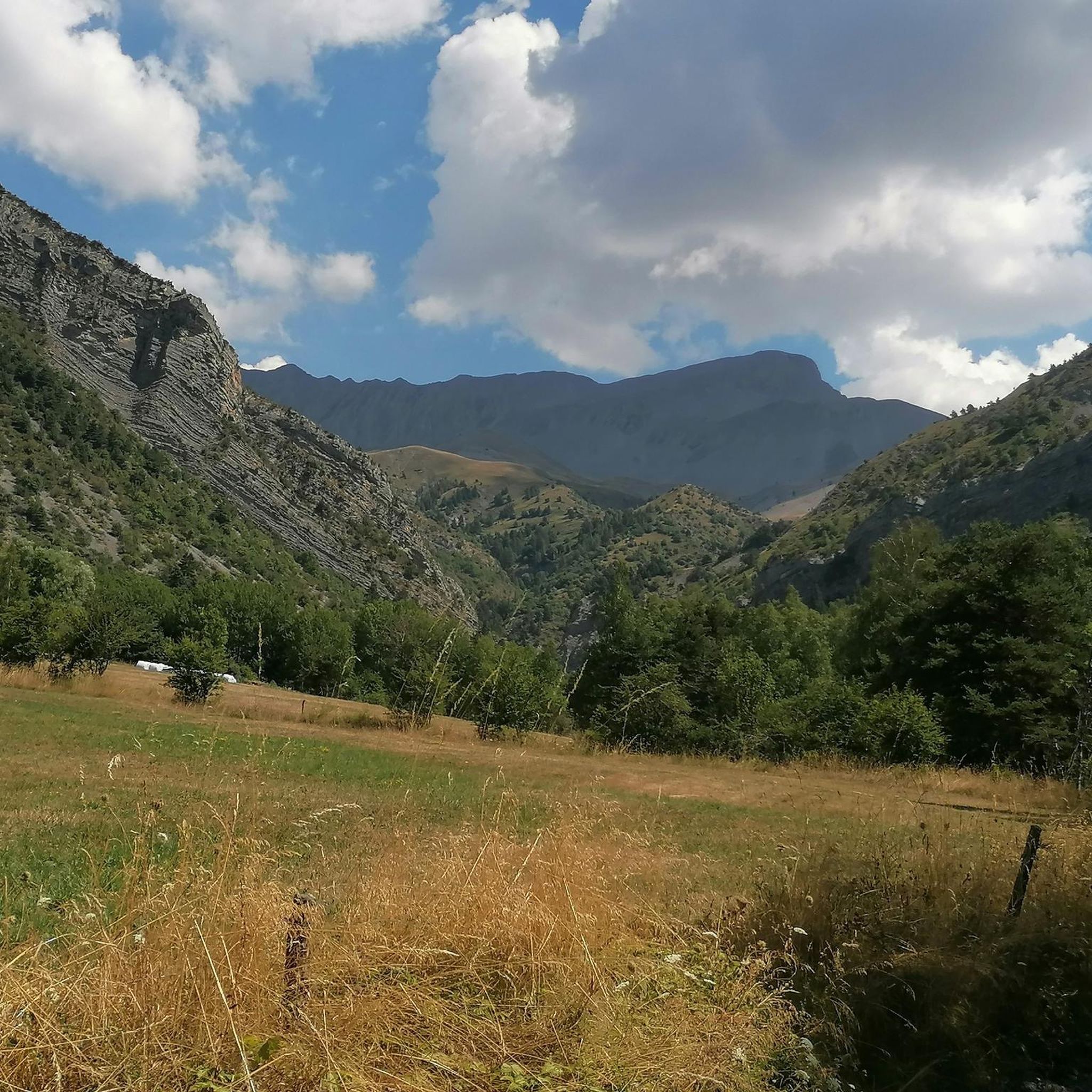
Mountain peaks around Le Vernet, a village in the Alpes-de-Haute-Provence, offer access to a high-mountain environment. The region is characterized by significant summits and challenging alpine terrain. The area provides expansive panoramic views, including the Blanche Valley and mineral landscapes. Le Vernet itself is situated at an altitude of 1,200 meters in the Bès Valley, at the foot of a mountain cirque.
Best mountain peaks around Le Vernet
- The most popular mountain peaks is Tête de la Sestrière, a…
Last updated: August 31, 2026
Tête de la Sestrière
Highlight • Summit
Translated by Google •
Tip by

Grande Séolane
Highlight • Summit
Translated by Google •
Tip by

Sign up now to discover places like this
Get recommendations on the best single tracks, peaks, & plenty of other exciting outdoor places.
Sign up for free
Tête de l'Estrop
Highlight • Summit
Translated by Google •
Tip by

Summit of la Basse
Highlight • Summit
Tip by

Stone Hut on the Way to Puy de la Sèche
Highlight • Mountain Hut
Translated by Google •
Tip by

Start today with a free account
Your next adventure awaits.
Login or Signup
Tips from the Community


A little-used path, well-colonized by broom, roses, and brambles in the forest section! Sometimes you have to put your hands on the edge of the ridge.
0
0

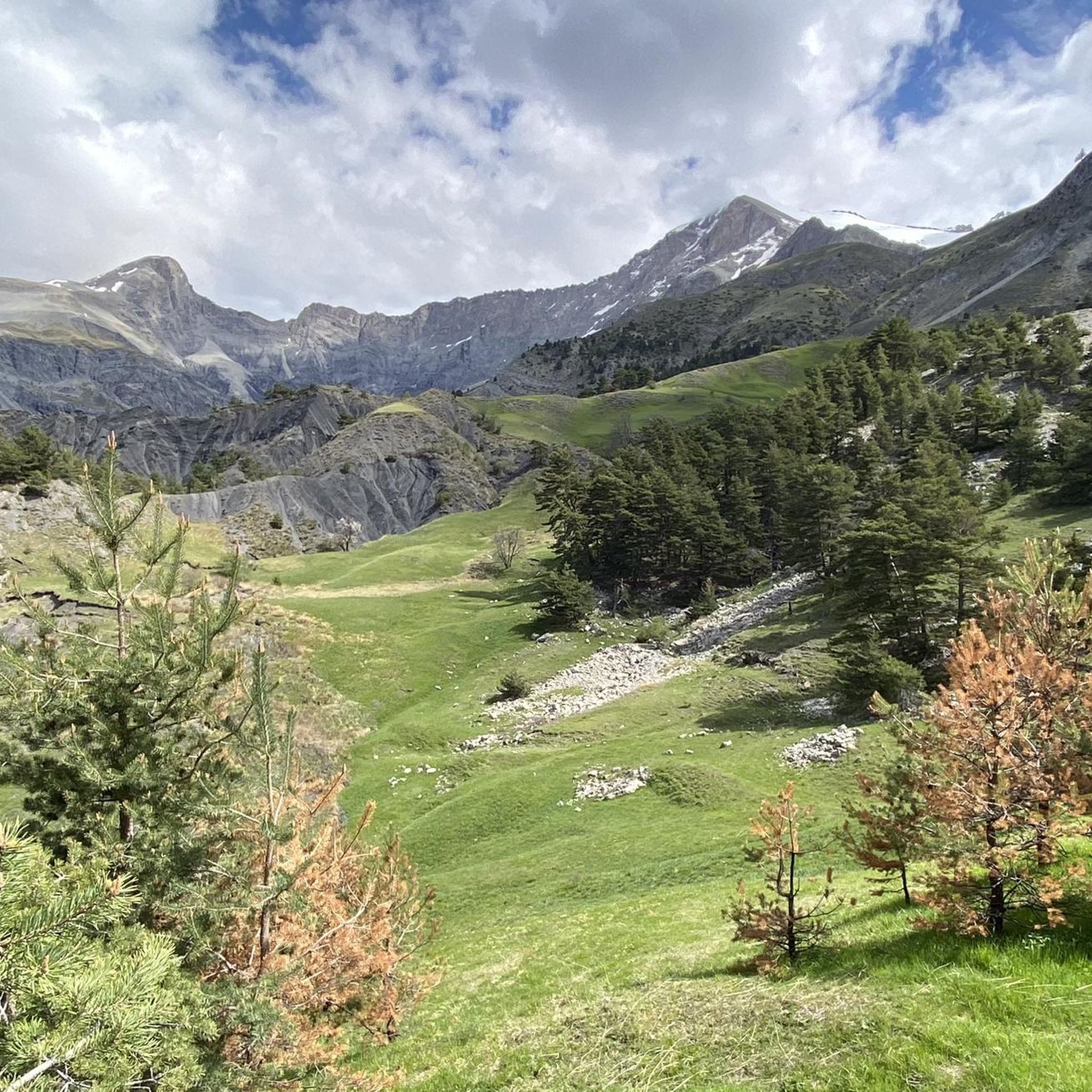
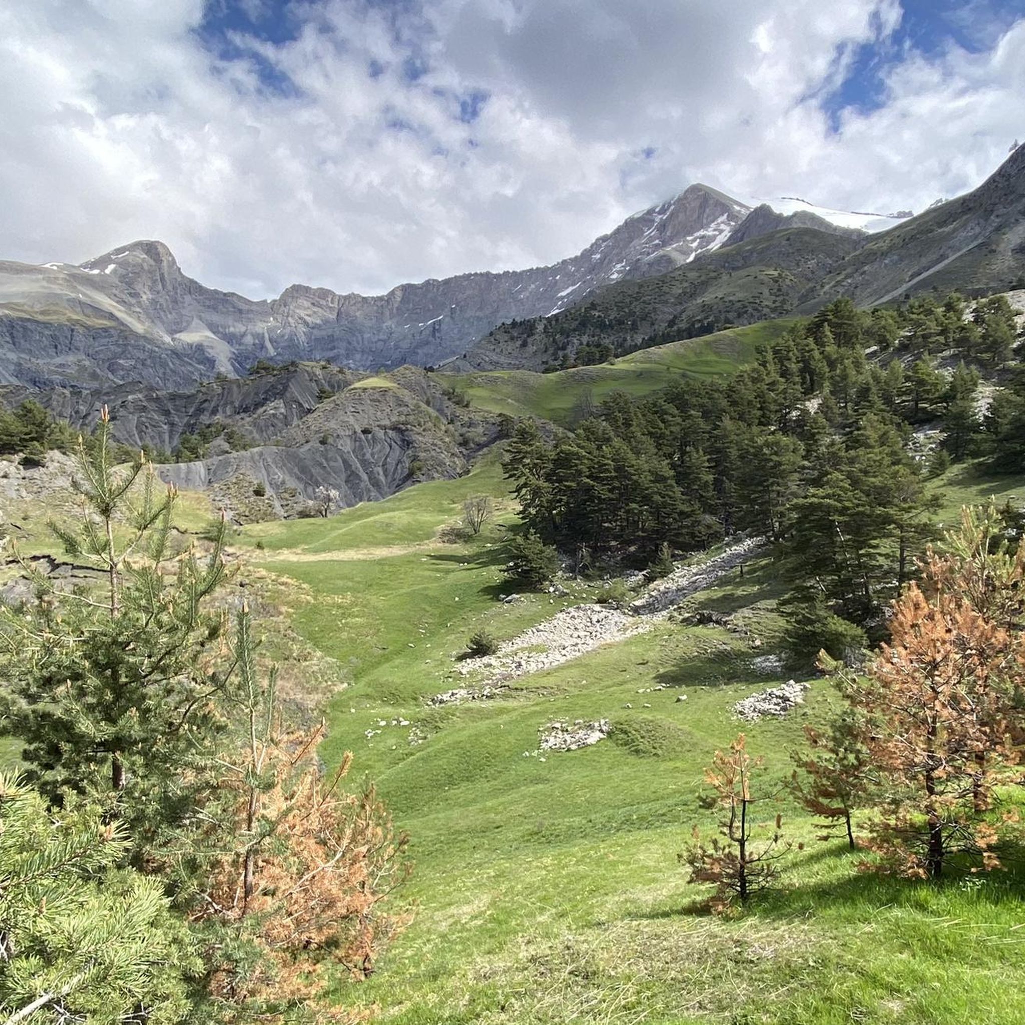
Culminating at 2909m, the summit of the Grande Séolane offers a 360° view of the surrounding mountains and massifs (Tête de l’Estrop, Écrins, Mercantour and even Mont Blanc). The ascent can be done from the South, thanks to the beautiful chimney of Lou Chiminet which does not pose a problem for experienced hikers, at least on the way up, or by the “Normal Route”, to the East, passing through the Col des Thuiles, which is very easy and very well indicated. I personally recommend the ascent by Lou Chiminet and the descent by the “Normal Route” to easily complete the loop. However, be careful of the snowfields that can remain in the corridor at the beginning of the season…
4
0

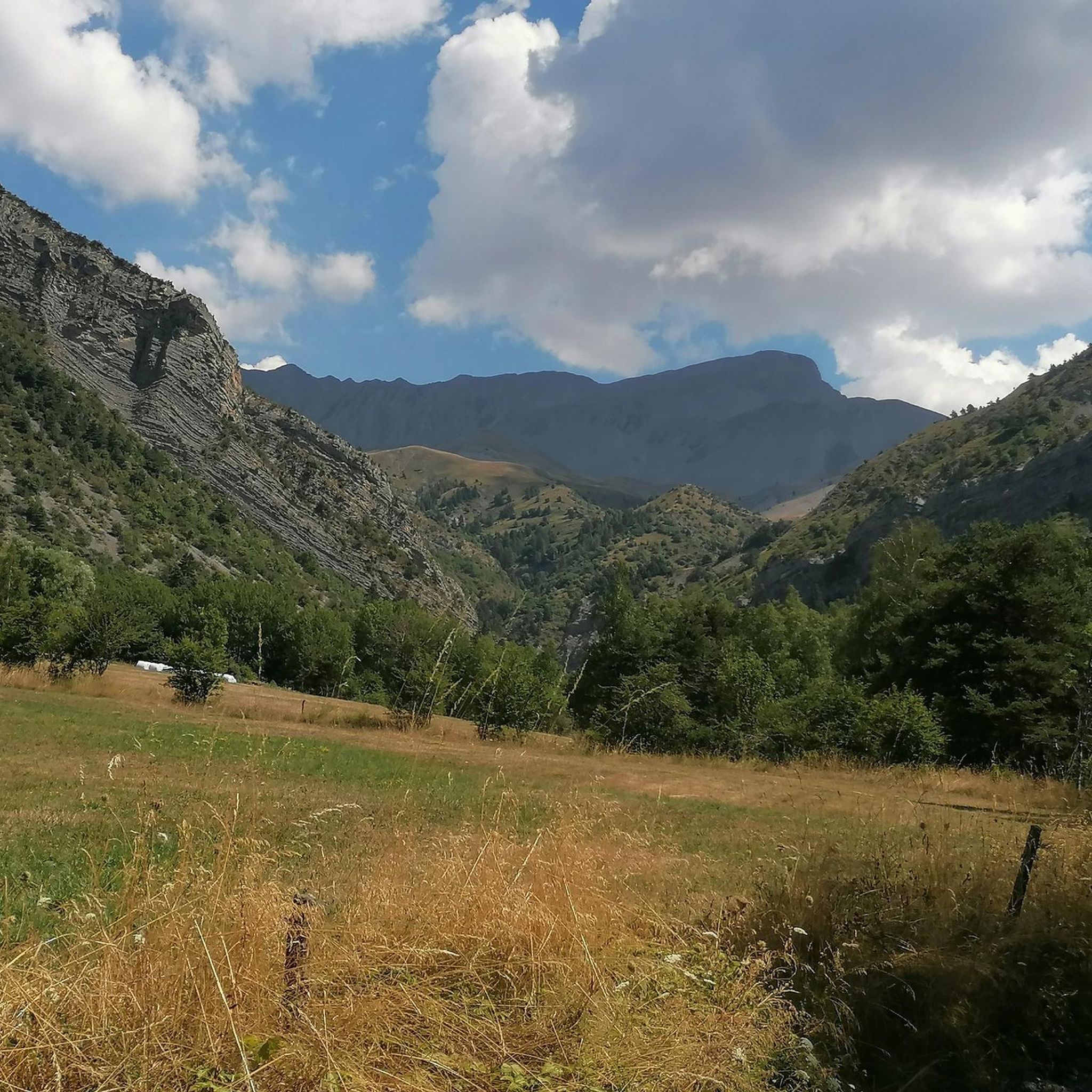
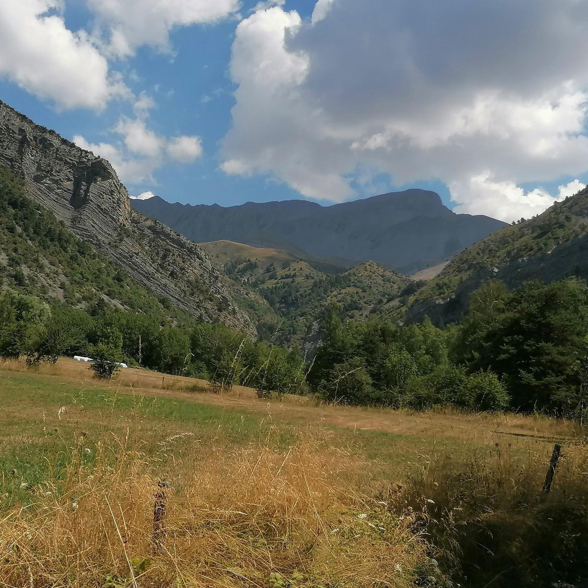
The Tête de l'Estrop culminates at 2962m. This climb is considered one, if not THE toughest in Val d'Allos
2
0

At 2179 meters above sea level, the summit of La Basse is reached by a beautiful ridge hiking circuit that leads us through the forest, along waterfalls and by a pretty alpine refuge. This hike can very well be included in the Tête de l'Estrop hike!
2
0
Located at 2575 meters, Tête de la Sestrière offers a beautiful panorama of the valleys below and the mountains that surround it. A magnificent hike from Laverq!
1
0
At 2179 meters above sea level, the summit of La Basse is reached by a beautiful ridge hiking circuit that leads us through the forest, along waterfalls and by a pretty alpine refuge. This hike can very well be included in the Tête de l'Estrop hike!
0
1

At an altitude of 2,575 meters, the Tête de la Sestrière offers a superb 360-degree panorama of the Laverq valley, the Agneliers valley and the summits of Petite Séolane and Grande Séolane, Tête de l'Estrop and the Three Bishoprics.
2
0
Frequently Asked Questions
What are some of the most prominent mountain peaks near Le Vernet?
The region around Le Vernet offers several significant summits. The Tête de l'Estrop, culminating at 2,962 meters, is considered one of the toughest climbs in Val d'Allos. Another notable peak is the Grande Séolane, reaching 2,909 meters, which provides a 360° view of the surrounding mountains and massifs.
Which peaks offer the best panoramic views around Le Vernet?
For expansive views, the Tête de la Sestrière, at 2,575 meters, offers a superb 360-degree panorama of the Laverq and Agneliers valleys, as well as surrounding summits like Petite Séolane, Grande Séolane, Tête de l'Estrop, and the Three Bishoprics. The Pic des Têtes also provides wild panoramic views of the Blanche Valley and a striking mineral landscape.
Are there challenging hikes to mountain peaks near Le Vernet?
Yes, the area is known for challenging alpine terrain. The ascent to Pic des Têtes is considered difficult, often involving steep slopes, off-trail sections, and unstable scree. Similarly, the Tête de l'Estrop is known as one of the toughest climbs in Val d'Allos. For Grande Séolane, the ascent via Lou Chiminet is recommended for experienced hikers.
What kind of wildlife can be spotted on mountain hikes near Le Vernet?
The mountainous environment, particularly around Pic des Têtes, is home to diverse wildlife. Hikers may encounter ibex and chamois. The broader region can also host mouflon and golden eagles, adding to the natural experience.
What is the best time of year to visit the mountain peaks around Le Vernet?
The best time to visit the mountain peaks around Le Vernet is generally during the warmer months, from late spring to early autumn, when trails are clear of snow and weather conditions are more stable for hiking. Some routes, like the Grande Séolane, can have snowfields remaining in corridors early in the season, even into late spring.
Are there any family-friendly mountain walks or easier trails near Le Vernet?
While many peaks in the immediate vicinity of Le Vernet are challenging, the village itself is a good base for various outdoor activities. For easier options, consider walking trails in the Bès Valley or exploring the botanical wealth along the Bès river. For specific mountain peaks, the 'Normal Route' for descending Grande Séolane is described as very easy and well-indicated, suggesting there might be less strenuous sections or alternative routes for families to enjoy mountain views without a full summit ascent.
What other outdoor activities can I do near the mountain peaks of Le Vernet?
Beyond peak bagging, Le Vernet and its surroundings offer a variety of outdoor activities. You can find numerous hiking trails, including moderate options like the Col de Mariaud loop. For cyclists, there are challenging routes such as the Saut de la Pie Waterfall – Col du Fanget loop. Mountain biking enthusiasts can explore trails like L'Alpes-Provence Trail. You can find more details on these activities in the Hiking around Le Vernet, Cycling around Le Vernet, and MTB Trails around Le Vernet guides.
Where can I find parking for hiking trails to the mountain peaks?
Specific parking information for individual trailheads is often available in detailed route descriptions. For example, the Col de Mariaud loop hike starts from 'Parking Col Maribaud', indicating designated parking areas exist for popular routes. It's advisable to check specific route details on komoot for precise parking locations before your trip.
Are there any unique natural features or landmarks to look out for?
Beyond the peaks themselves, the region boasts a rich botanical wealth, including rare and protected plant species. The Summit of la Basse offers a beautiful ridge hiking circuit that leads through forests, past waterfalls, and by an alpine refuge. You might also encounter the Stone Hut on the Way to Puy de la Sèche, a small abandoned hut that can serve as shelter.
What should I be aware of regarding terrain difficulty for mountain peaks in this area?
The mountain peaks around Le Vernet are generally characterized by high-altitude and challenging alpine terrain. Ascents often involve steep slopes, off-trail sections, and unstable scree. Good shoes and trekking poles are highly recommended. Some sections, like the rocky bar below Tête de Beloupet near Pic des Têtes, require a steady foot. Always check the difficulty rating of specific routes before setting out.
Can I find accommodation or amenities near the mountain peaks?
Le Vernet village itself, situated at 1,200 meters, serves as a base for exploring the surrounding peaks and offers amenities. While specific cafes or pubs directly on mountain trails are rare, you can find accommodation and services within the village. Some routes, like the one to the Summit of la Basse, pass by an alpine refuge, which might offer basic facilities or shelter.
Most popular attractions around Le Vernet

Get inspired with the komoot mobile app


Explore more
See even more amazing summits around Le Vernet with these guides:
