The best cycling routes in the Central Mexican Plateau
4.8
(55)
318
riders
40
rides
Touring cycling in the Central Mexican Plateau offers diverse landscapes, from high desert plains to the volcanic peaks of the Trans-Mexican Volcanic Belt. The region features varied ecosystems, including pine and oak forests at higher elevations, as well as farmlands and vineyards in the valleys. Cyclists encounter a mix of terrain, from flat sections to significant elevation gains, with routes often incorporating canyons, valleys, and scenic lake views. This geographical diversity provides a range of experiences for touring cyclists.
Best…
Last updated: July 8, 2026
15.8km
01:11
380m
370m
Moderate bike ride. Good fitness required. Mostly paved surfaces. Suitable for all skill levels.
53.6km
03:49
790m
450m
Hard bike ride. Very good fitness required. Mostly paved surfaces. Suitable for all skill levels.

Sign up for free
4.4
(9)
22
riders
47.1km
03:41
320m
320m
Moderate bike ride. Good fitness required. Mostly paved surfaces. Suitable for all skill levels.
5.0
(1)
20
riders
50.7km
03:11
50m
50m
Moderate bike ride. Good fitness required. Mostly paved surfaces. Suitable for all skill levels.
4.3
(7)
16
riders
37.8km
03:10
320m
320m
Moderate bike ride. Good fitness required. Mostly paved surfaces. Suitable for all skill levels.
5.0
(1)
14
riders
86.6km
07:53
1,010m
1,010m
Hard bike ride. Very good fitness required. Mostly paved surfaces. Suitable for all skill levels.
10
riders
Moderate bike ride. Good fitness required. Mostly paved surfaces. Suitable for all skill levels.
9
riders
17.6km
01:47
320m
320m
Moderate bike ride. Good fitness required. Mostly paved surfaces. Suitable for all skill levels.
12
riders
22.9km
02:14
240m
240m
Moderate bike ride. Good fitness required. Mostly paved surfaces. Suitable for all skill levels.
25
riders
27.6km
02:39
300m
290m
Moderate bike ride. Good fitness required. Mostly paved surfaces. Suitable for all skill levels.
Get access to more routes and recommendations from other explorers.
Sign up for free
Already have an account?
Our route recommendations are based on thousands of hikes, rides, and runs completed by other people on komoot.
Start today with a free account
Your next adventure awaits.
Login or Signup

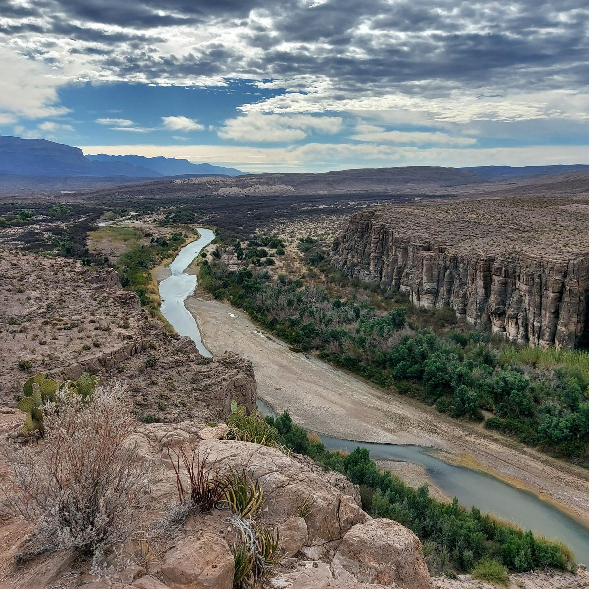
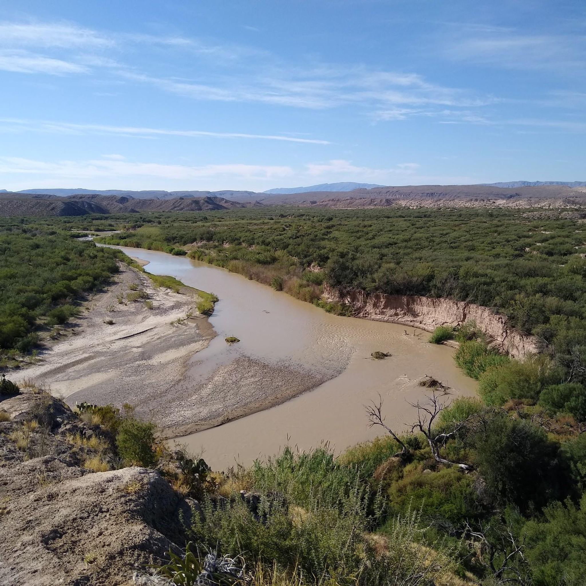
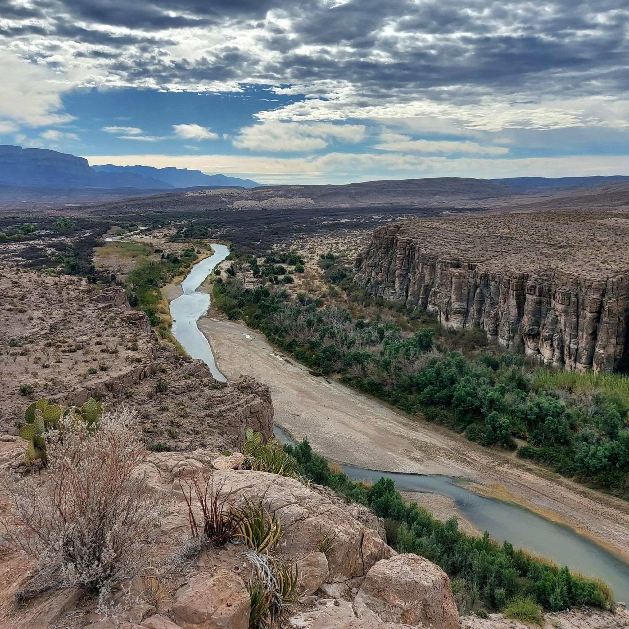
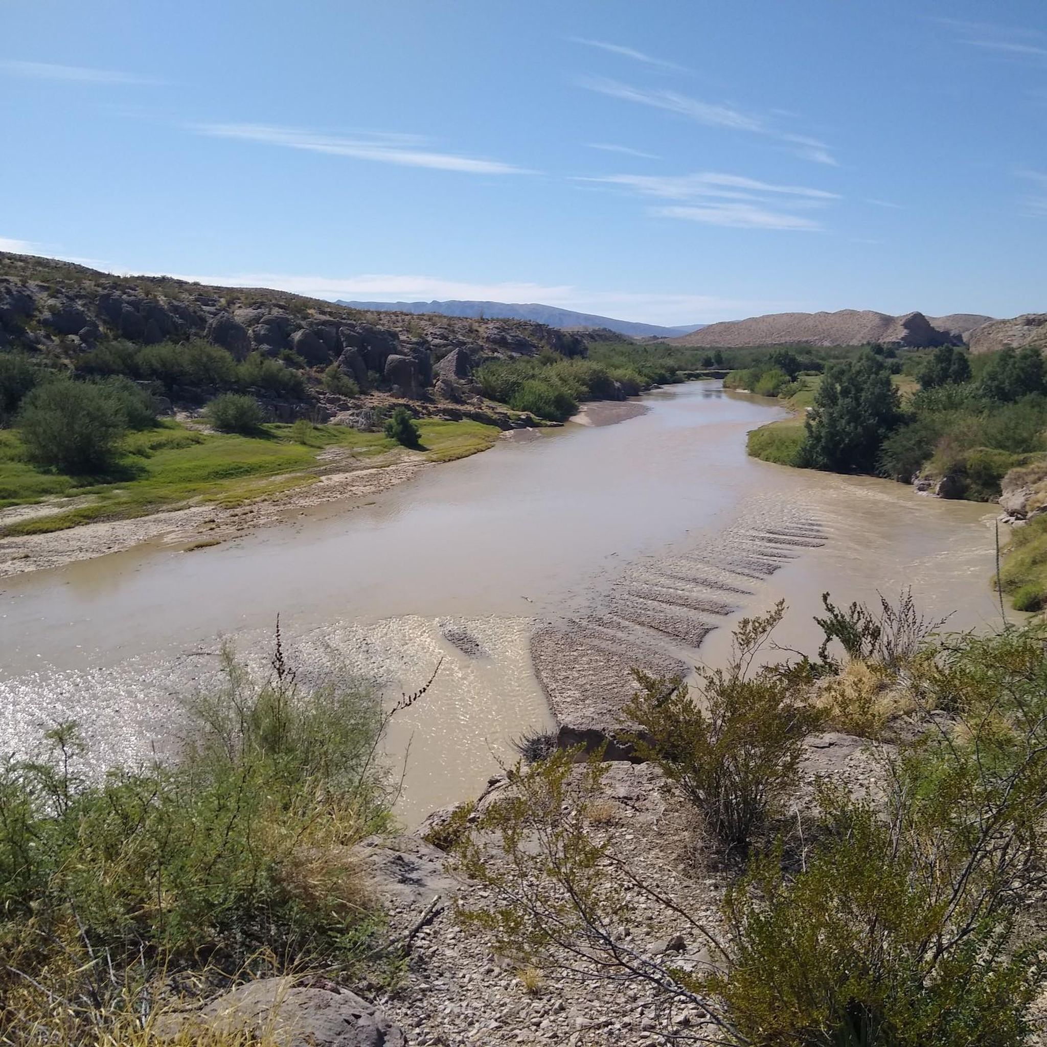
Other adventures in the Central Mexican Plateau

Tips from the Community

A short walk leads to a viewpoint behind the Visitor Center shop. Don't miss it; the view of the valley is well worth the effort.
2
0

The Lazy Cow Trail is one of the most accessible routes in the park, making it a great option for an offroad ride. Its smooth surface and gentle gradients (for the area) make for fun ride, though it can get busy during peak season.
0
0

The Mammoth is a well-known local landmark, named for its resemblance to the extinct beasts. The steep rock formation stands at 6,285 ft (1915.7 m), and is enjoyed by spectators and rock climbers alike.
0
0

In the park named after the former president of Mexico, known as the Father of the Americas, you can find this monument in his honor, which was inaugurated in 1910 shortly before the start of the revolution.
1
0
If you look carefully from this point at the rocky elevation to the east, you'll be able to see the entrance to the well-known Cueva Roja (Red Cave in Spanish). The cave gets its name from the red clay mineral inside, which you can notice even as you approach. However, if you want to climb up to see the entrance, you'll need to do it dismounted from the bike.
1
0

This turn off takes you on the actual Cardiac Hill Trail. It's a fun place to get in a quick workout with a decent amount of vert. There is some loose gravel on a lot of the trail, so I don't know how hard I would send the downhills. The lower trail on the way back sees less traffic than the upper double-track trail.
0
0
The El Paso Tin Mines Trail is pretty easy to follow and gets a lot of attention in the park. The Mines, themselves, are cool structures, and you can actually go caving inside of them if you want. A real flashlight or headlamp works better than a phone light if you decide to go inside.
0
0
Lazy Cow Trail is one of the easiest trails in the park and can be a crowded trail in the busy season. It's a great trail for running because of how smooth and gradual it is. It wouldn't be a bad place to do some strides at the end of a run.
0
0
Frequently Asked Questions
What kind of terrain can I expect when touring cycling in the Central Mexican Plateau?
The Central Mexican Plateau offers a highly diverse cycling experience. You'll encounter everything from high desert plains to the dramatic volcanic peaks of the Trans-Mexican Volcanic Belt. Routes often feature significant elevation gains through mountainous terrain, as well as more moderate sections through farmlands, vineyards, and pine and oak forests. The region's average elevation is just below 2,000 meters, contributing to varied climates and challenging climbs.
Are there touring cycling routes suitable for beginners or families in the Central Mexican Plateau?
Yes, the Central Mexican Plateau offers routes for various skill levels. While many routes feature significant elevation changes, there are also easier options. For example, the Lazy Cow Trail loop from Boss Chicken is rated easy and provides a less strenuous ride. You'll find a good selection of moderate routes as well, making it possible to find something suitable for most abilities.
What are some notable natural features or landmarks I can see along the cycling routes?
The region is rich in natural beauty and historical sites. You can cycle through dramatic volcanic landscapes, past pine and oak forests, and alongside canyons and valleys. Specific highlights include the Tin Mines, which you can explore near routes like the El Paso Tin Mines – Scenic Road Trail loop from Chuck Heinrich Park. Other natural attractions include various caves and gorges, such as the The Window Pour-off Viewpoint and Boquillas Canyon Trail.
What is the best time of year to go touring cycling in the Central Mexican Plateau?
The Central Mexican Plateau generally offers varied climates due to its high elevation. While specific conditions can vary, the cooler temperatures at higher altitudes make cycling enjoyable for much of the year. For optimal conditions, consider visiting outside of the peak rainy season, typically late spring to early autumn. The Monarch Butterfly Biosphere Reserve, a spectacular natural attraction, is best visited between October and March, which could influence your timing if you wish to combine cycling with this experience.
Are there any circular touring cycling routes available?
Yes, there are several circular routes that allow you to start and end in the same location. Popular options include the Benito Juárez Monument loop from Lienzo Charro, which takes you through varied landscapes near urban areas. Other loop trails like the Blue Moon Trail – Lazy Cow Trail loop from Boss Chicken and the Mad Cow Trail – Mad Cow Trail loop from Chuck Heinrich Park also offer convenient circular options.
What do other touring cyclists say about the routes in the Central Mexican Plateau?
The touring cycling routes in the Central Mexican Plateau are highly regarded by the komoot community, boasting an impressive average score of 4.9 stars from over 41 reviews. Cyclists often praise the diverse terrain, the breathtaking views of volcanic landscapes, and the unique cultural immersion offered by riding through historic towns and natural areas.
Can I find challenging touring cycling routes with significant elevation gain?
Absolutely. The Central Mexican Plateau, particularly with its volcanic terrain, offers routes with substantial elevation gains for experienced cyclists. The Ross Maxwell Scenic Drive is a difficult route featuring significant elevation gain through volcanic landscapes. Another challenging option is the Paso Castrellon – Puerto Dragones loop from Cristo Curiel, which also presents a demanding ride.
Are there opportunities to visit historical or cultural sites while cycling?
Yes, touring cycling in the Central Mexican Plateau offers excellent opportunities for cultural immersion. The region is dotted with historic colonial cities like San Miguel de Allende, Guanajuato, and Oaxaca, many of which are UNESCO World Heritage Sites. You can also find pre-Columbian archaeological sites, such as Monte Albán, which can be incorporated into multi-day cycling adventures, allowing you to experience rich architecture and vibrant local culture.
How many touring cycling routes are available in the Central Mexican Plateau?
There are over 30 touring cycling routes available in the Central Mexican Plateau, catering to a wide range of preferences and skill levels. This includes a good mix of easy, moderate, and difficult trails, ensuring there's something for every touring cyclist.
What are the typical weather conditions for cycling in this region?
Due to the average elevation of just below 2,000 meters, the Central Mexican Plateau generally experiences cooler temperatures compared to lower-lying areas. While some parts can be semi-arid, the region also features pine and oak forests at higher elevations. It's advisable to check local forecasts, especially for mountain passes, as conditions can vary, but generally, the climate is conducive to cycling for much of the year.
Are there any specific routes that traverse mountainous terrain?
Many routes in the Central Mexican Plateau incorporate mountainous terrain, given the presence of the Trans-Mexican Volcanic Belt. The Trans-Mountain Highway: El Paso and Franklin Mountains is a moderate route specifically designed to traverse mountainous areas, offering scenic views of the surrounding ranges.
Most popular routes in the Central Mexican Plateau
Most popular attractions in the Central Mexican Plateau

Get inspired with the komoot mobile app


Explore more
Browse the best Cycling routes in other regions.
