Attractions and Places To See around Lambruisse - Top 20
Attractions around Lambruisse offer a tranquil escape in the Alpes-de-Haute-Provence department of southeastern France. The region is characterized by its serene valley, where the Encure river flows, surrounded by lush meadows and wooded hills. It is part of the UNESCO Geopark of Haute-Provence, known for its geological richness and ancient fossils. The area provides a blend of natural beauty and traditional Provençal life, with opportunities to explore traditional villages and historical sites.
Best attractions and places to see around Lambruisse
…Last updated: July 7, 2026
Col du Défens (1,230 m)
Highlight • Mountain Pass
Translated by Google •
Tip by

Barrême
Highlight • Settlement
Translated by Google •
Tip by

Sign up now to discover places like this
Get recommendations on the best single tracks, peaks, & plenty of other exciting outdoor places.
Sign up for free
Sentinel of the Asse – Andy Goldsworthy
Highlight • Monument
Translated by Google •
Tip by

Col des Robines
Highlight • Mountain Pass
More information: fr.wikipedia.org/wiki/Col_des_Robines and alpenrouten.de/Robines-Col-des_point927.html
Translated by Google •
Tip by

Corobin Pass
Highlight • Mountain Pass
Translated by Google •
Tip by

Sign up for free to discover even more attractions around Lambruisse.
Sign up for free
Already have an account?
Start today with a free account
Your next adventure awaits.
Login or Signup
Tips from the Community

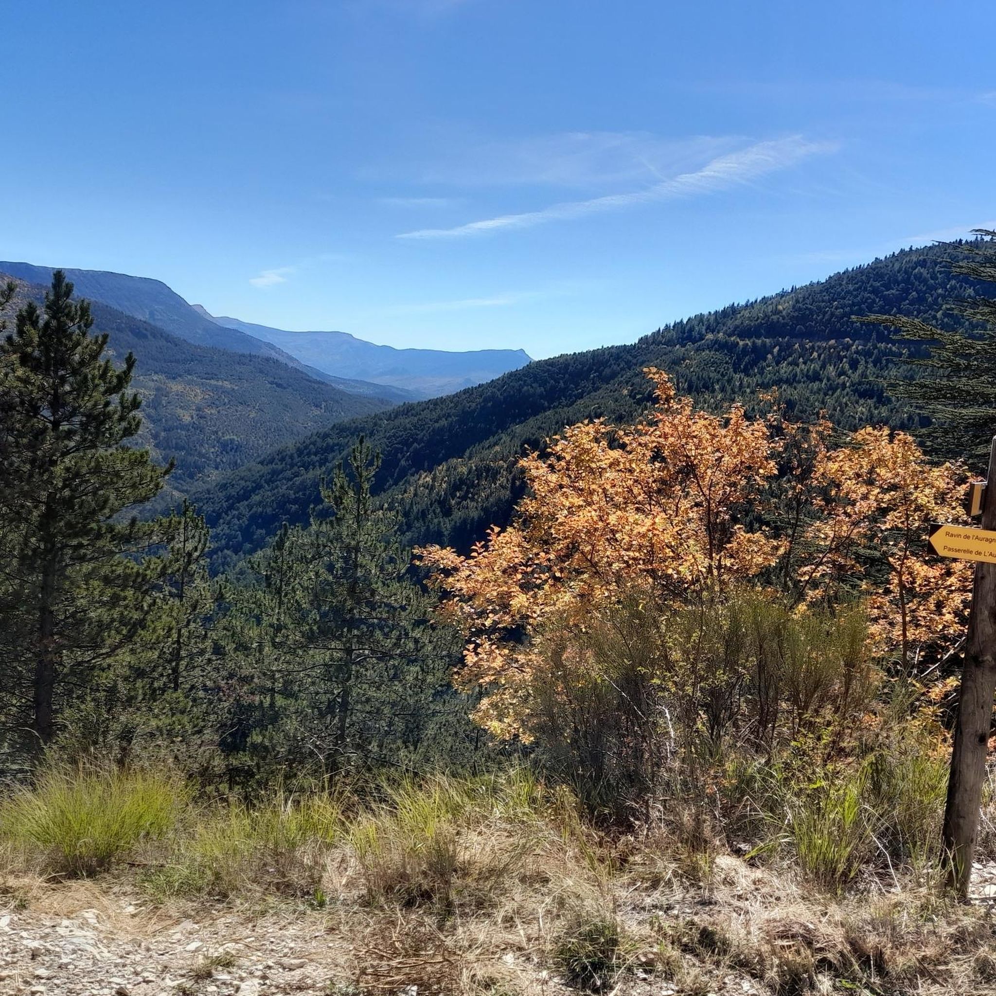
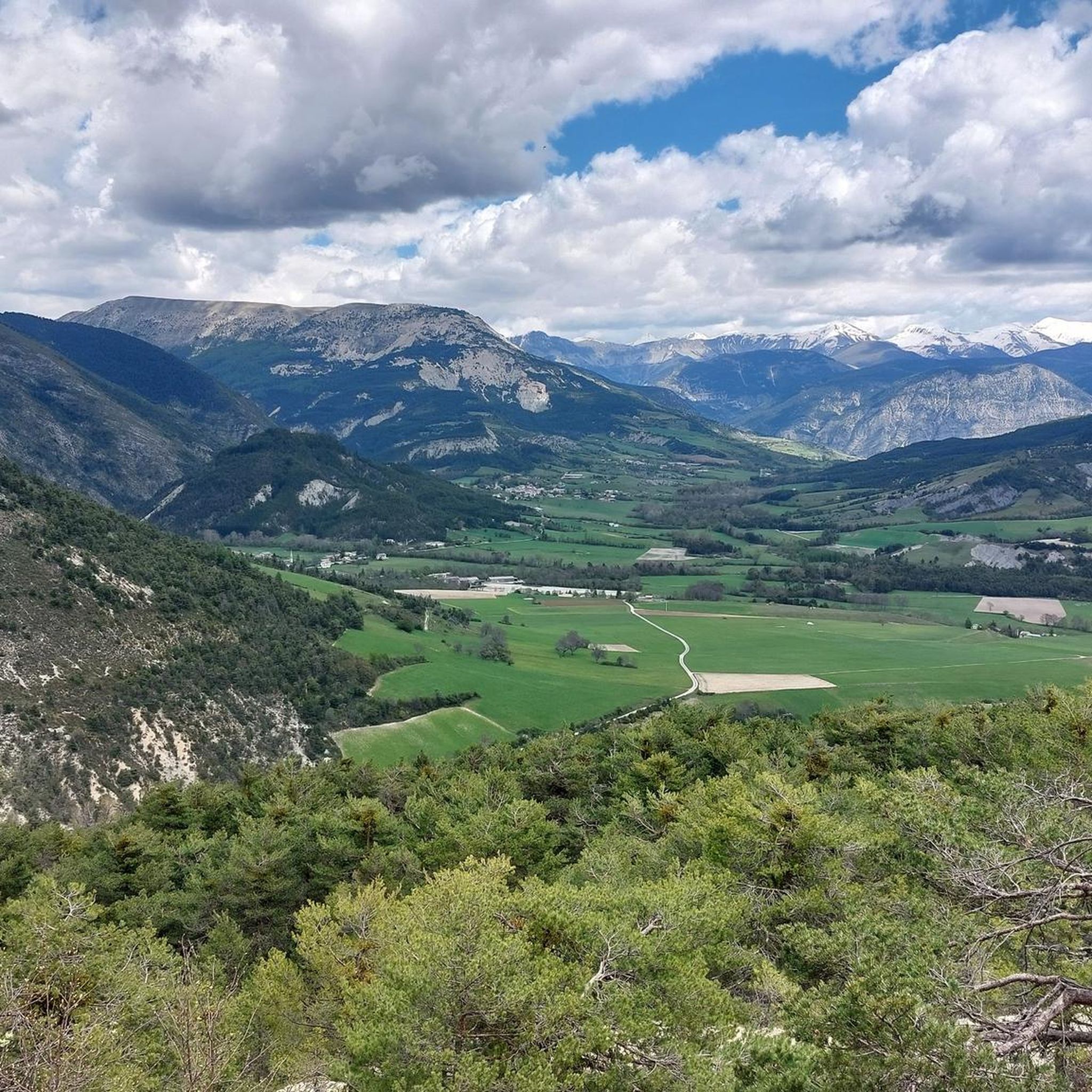
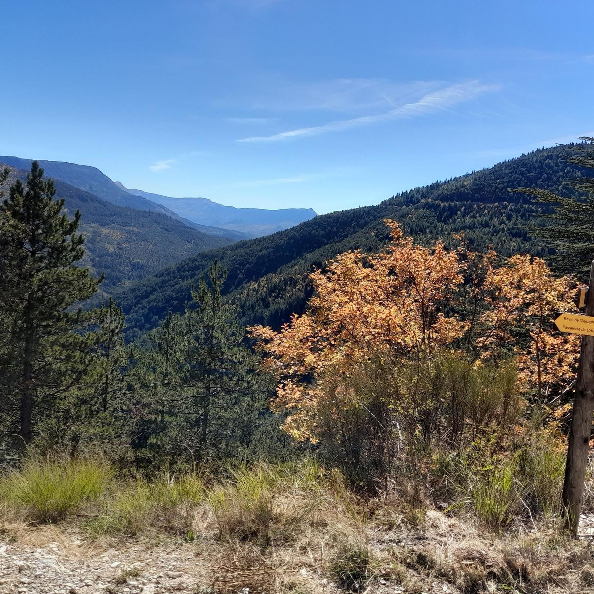
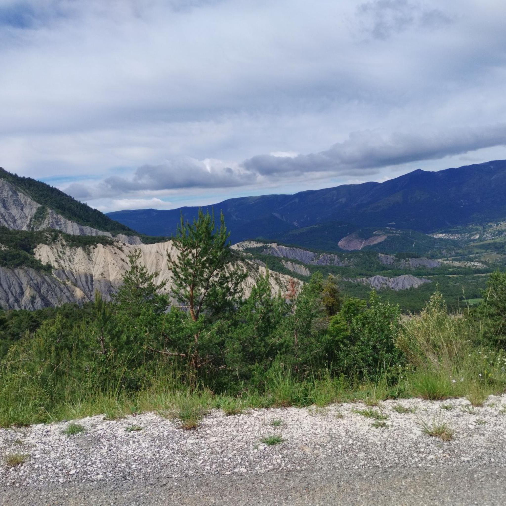
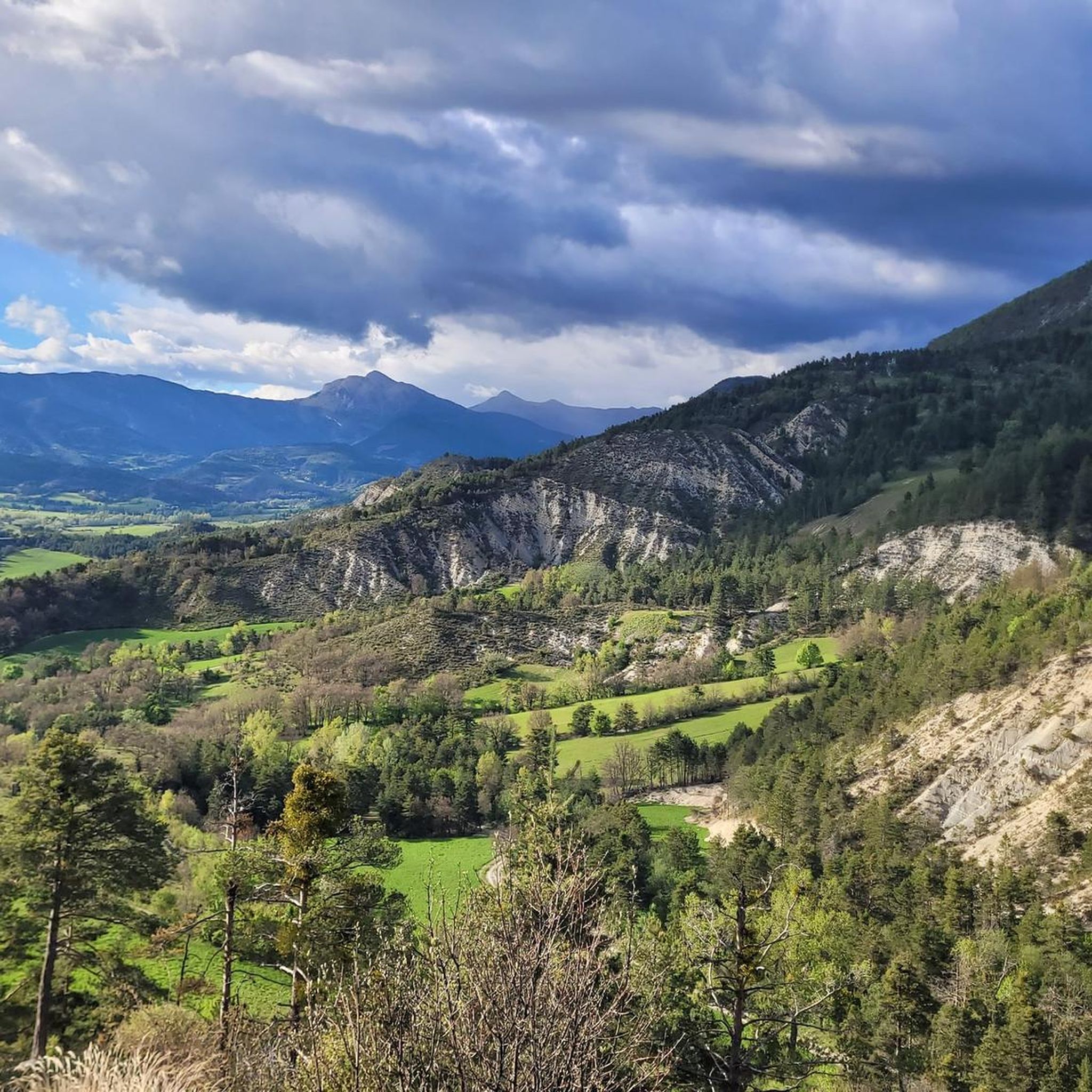
The southern slope, from Chaudon-Norante, is advertised at an average gradient of 6.6% for a length of about 8km. But the road has 4 or 5 flat sections over 150 or 200m, which means that in reality we are very often on slopes between 8 and 10%. This pass nevertheless remains accessible to any moderately trained cyclist and, the icing on the cake, it is reserved for cyclists at certain times during the summer. The view at the summit is magnificent.
0
0

Beautiful landscape, small road, only the last bends are strenuous.
3
0

The Col des Robines peaks at 988m and will allow you to climb to almost 1000m without making any effort because from Moriez you would have a slope of around 3km with a slope not exceeding 5% and on the Saint-André les Alpes side this will be shorter, around 1.5 km, but harder with an average of 6-7%. Be careful, however, of the often very heavy traffic on this pass because it is on the RN 202 which is HUGELY used almost all year round.
1
0

At the bend of a hairpin bend, this egg is a work of Andy Goldsworthy. This is one of the three “Sentinels” of the Refuge d’Art course; it represents the Asse valley.
1
0

The Col de Corobin from Chaudon-Norante is a climb in the Alpes de Haute Provence region. It has a length of 7.7 kilometers and an ascent of 535 vertical meters with an average gradient of 7%, which implies a difficulty level of 413. The top of the ascent is located at 1,220 meters above sea level. On the other hand, from Digne-les-Bains via Col de Pierre Basse, it is 14.6 kilometers long and climbs 650 vertical meters with an average gradient of 4.4%, which implies a difficulty level of 448.
2
0
The Corobin pass peaks at 1,211 meters. From Digne-les-Bains a fairly long slope of almost 16 kilometers awaits you. The first eight are pretty straightforward. You will cross the intermediate Col des Abeilles (710 meters). Secondly, you will see the slope steepen quite significantly over 3.3 kilometers at almost 9% on average to reach the second intermediate pass, that of Pierre Basse (1,065 meters). Arriving at this pass, take the time to breathe, a flat area then a slight descent over three kilometers towards the hamlet of La Clappe will help you. Then, return to the attack for 1.4 kilometers at an 8% average, taking the eight bends which will allow you to cross the summit of the Col du Corobin.
2
0

On the western slope, after going up the long Asse de Clumanc Valley from Barrême, the difficulties really begin in Tartonne with a first ramp of 1.5 km at 6.5%. Then after a small flat area comes a nice final of 2.6 km where the slope will be around 7%. On this side you can see one of Andy Goldsworthy's sentinels, an ovoid-shaped cairn placed at the side of the road as part of an artistic trail created by this renowned artist practicing land art. On the eastern slope, nothing very complicated until Lambruisse with 5 km where the hardest passage will not exceed 4.5%. On the other hand, things become tougher with the final including 1.8 km at 6.5% on average, but the last 350 meters are at 8.5%. The road is very beautiful and quiet on both sides. This pass is enchanting.
2
0
This strange construction which sits in one of the bends of the Col du Défens is in reality a work by Andy Goldsworthy, a major figure in land art. It is part of the route entitled “Refuge d’art” which offers a 150 kilometer hike, imagined and created by the British artist through the National Geological Nature Reserve of Haute-Provence. This artistic itinerary, original and unique in Europe, combining contemporary art, hiking and rural heritage, includes ten works scattered throughout the Dignois region. Among them, three ovoid stone cairns, designated as “Sentinels”, one for each of the three valleys of the Haute-Provence Geological Reserve. Besides this one which represents the Asse valley, you can find another sentinel in the Clue de Barles, at the edge of the road at the foot of the cliff, representing the Bès valley, and the third in the commune of Authon in the Vançon valley. “It is the top of the cairn which brings the energy of the stone to its peak, just as it is in the keystone of an arch that all the energy is concentrated. »Andy Goldsworthy Andy Goldsworthy's work and vision were the subject of a film entitled "Rivers and tides" which you can see here: https://www.dailymotion.com/video/x15e83f?playlist=x54l1y or just the trailer: https://www.dailymotion.com/video/xjggqk?fbclid=IwAR2l_oUGJuU5sc5vLobLojCfRrBf3xa42fqjOKc-uL4DrOQomGKoypSHfWk For more information on the “Refuge d’art” route: https://www.tourisme-alpes-haute-provence.com/refuge-art-andy-goldsworthy/
3
1
Frequently Asked Questions
What unique natural features can I explore near Lambruisse?
The region is part of the UNESCO Geopark of Haute-Provence, known for its geological richness. You can discover ancient fossils, some dating back 300 million years, in nearby areas like Digne-les-Bains. The village of Barrême is particularly rich in fossiliferous sites, with ammonites even integrated into some village fountains.
Are there any notable artistic or cultural installations in the area?
Yes, you can visit the Sentinel of the Asse – Andy Goldsworthy, an ovoid stone cairn that is a work by the renowned land artist Andy Goldsworthy. It's part of the "Refuge d’art" route, an artistic itinerary combining contemporary art, hiking, and rural heritage across the region.
What kind of outdoor activities are popular around Lambruisse?
Lambruisse and its surroundings offer excellent opportunities for outdoor enthusiasts. You can find numerous hiking trails, including moderate loops like 'At the foot of the Séoune summit – Montagne du Charvet loop from Lambruisse'. For cyclists, there are diverse road cycling routes, and mountain bikers can challenge themselves on technical courses like Les Terres Noires - Slides.
Are there family-friendly attractions or activities near Lambruisse?
The village of Barrême is considered family-friendly, offering a natural history museum with rich fossil collections that can be fascinating for children. The wider region also provides opportunities for gentle walks and exploring traditional Provençal villages.
What are the best places to experience local culture and markets?
You can experience local culture at various markets in nearby towns. Saint-André-les-Alpes hosts markets on Wednesdays and Saturdays (11 km away), Digne-les-Bains on Wednesdays (17 km), Annot on Tuesdays (20 km), Colmars on Fridays and Tuesdays (21 km), and Castellane on Saturdays (23 km).
Where can I find scenic viewpoints or mountain passes for driving or cycling?
The region is known for its mountain passes offering magnificent scenery. Col du Défens (1,230 m) provides a good quality road with little traffic and accessible climbs. Another option is Col des Robines, an alpine pass on the N202, though it can have heavy traffic.
What historical sites or villages are worth visiting near Lambruisse?
Beyond Lambruisse itself, which retains its traditional charm, you can explore Digne-les-Bains (17 km away) with its medieval center, Annot (20 km) known for its unique rock formations, Colmars-les-Alpes (21 km) with its fort, and Moustiers-Sainte-Marie (29 km) renowned for its setting beneath steep cliffs. The village of Barrême also has historical significance, as Napoleon Bonaparte spent a night there in 1815.
Are there any lakes nearby for recreation or scenic views?
Yes, several stunning lakes are within reach. These include Lac de Castillon (20 km), Lac d'Allos (29 km), Lac de Sainte-Croix (38 km), Lac de Quinson (51 km), and Lac d'Esparron (52 km), offering opportunities for various water activities and picturesque views.
What is the best time of year to visit Lambruisse for outdoor activities?
The region is ideal for outdoor activities from spring through autumn. Summer offers warm weather perfect for exploring lakes and hiking. Spring and autumn provide pleasant temperatures for cycling and hiking, with beautiful seasonal colors. Winter activities are also possible, though specific attractions might have limited access.
What do visitors particularly enjoy about the attractions around Lambruisse?
Visitors appreciate the tranquil escape and the blend of natural beauty with traditional Provençal life. The scenic mountain passes like Col du Défens are praised for their magnificent scenery and quiet roads. Mountain bikers enjoy the technical challenge and impressive black hills of Les Terres Noires - Slides, while the unique land art installation Sentinel of the Asse offers a distinctive cultural experience.
Can I find routes for running near Lambruisse?
Yes, there are several running trails available. Options range from moderate routes like the 'Sentier des Pêcheurs loop from Saint-André-les-Alpes' to more challenging ones such as the 'Col des Robines loop from Moriez' or the 'Lake Castillon loop from Saint-André-les-Alpes'.
Most popular attractions around Lambruisse

Get inspired with the komoot mobile app


Explore more
Still not found the Highlight you’re looking for? See guides of the top attractions in other regions:
