The best road cycling routes around Lambruisse
4.4
(34)
779
riders
19
rides
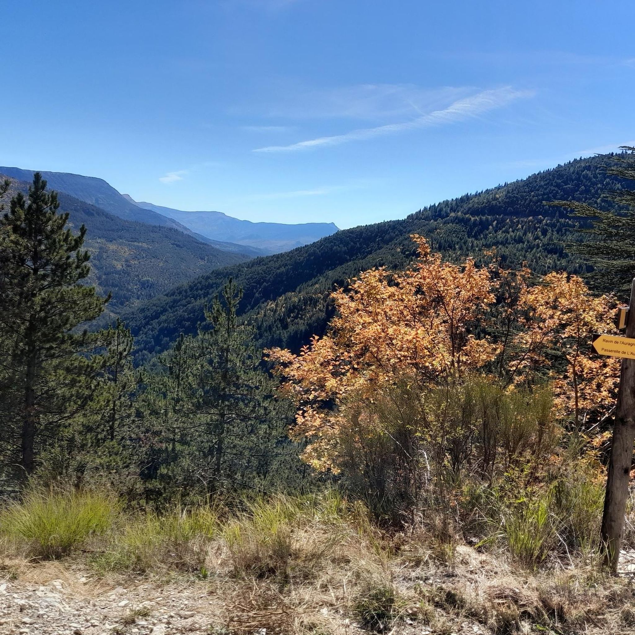
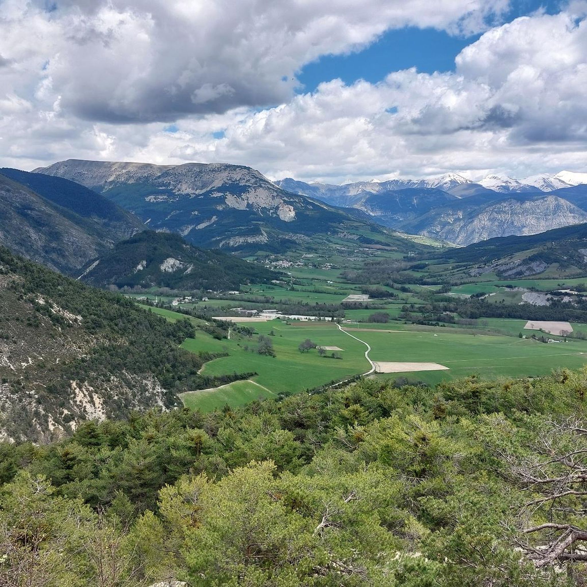
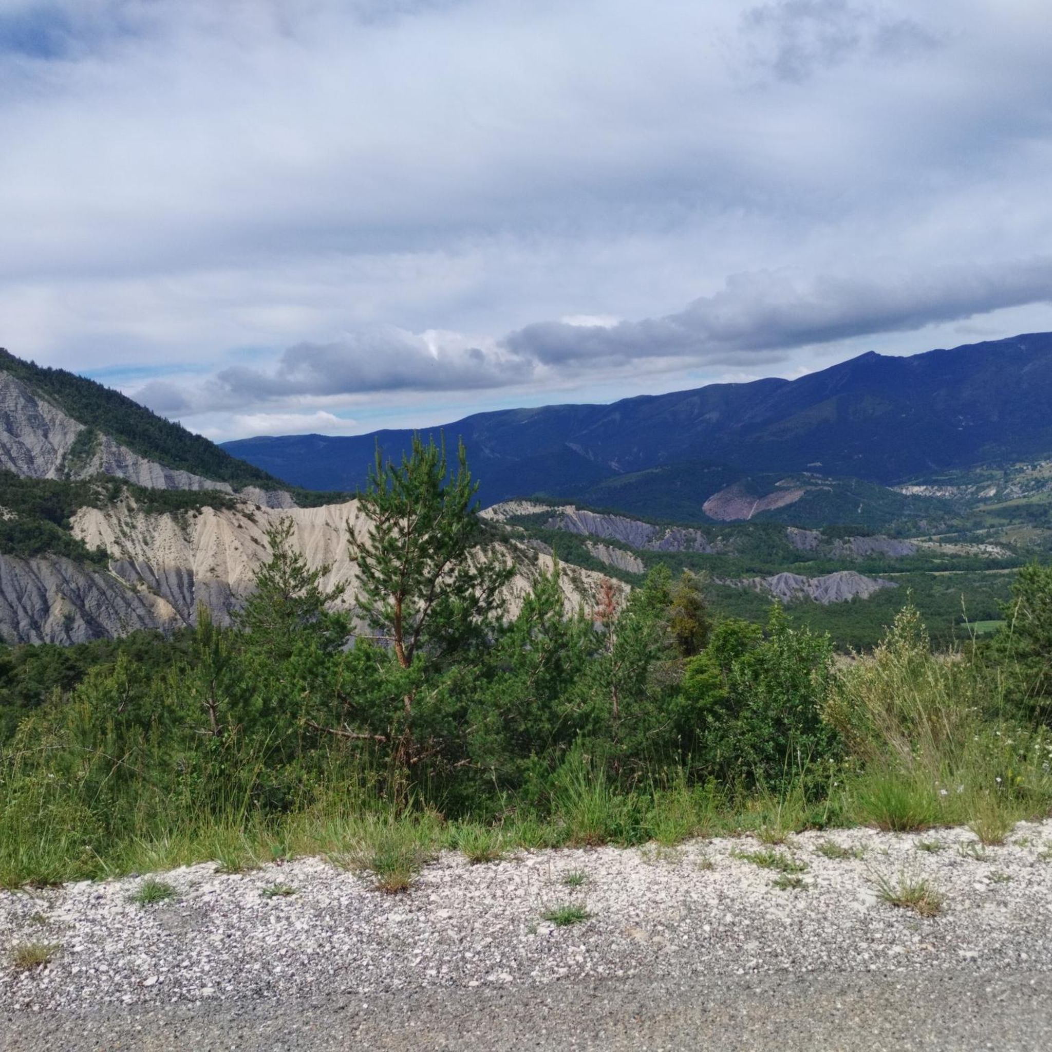
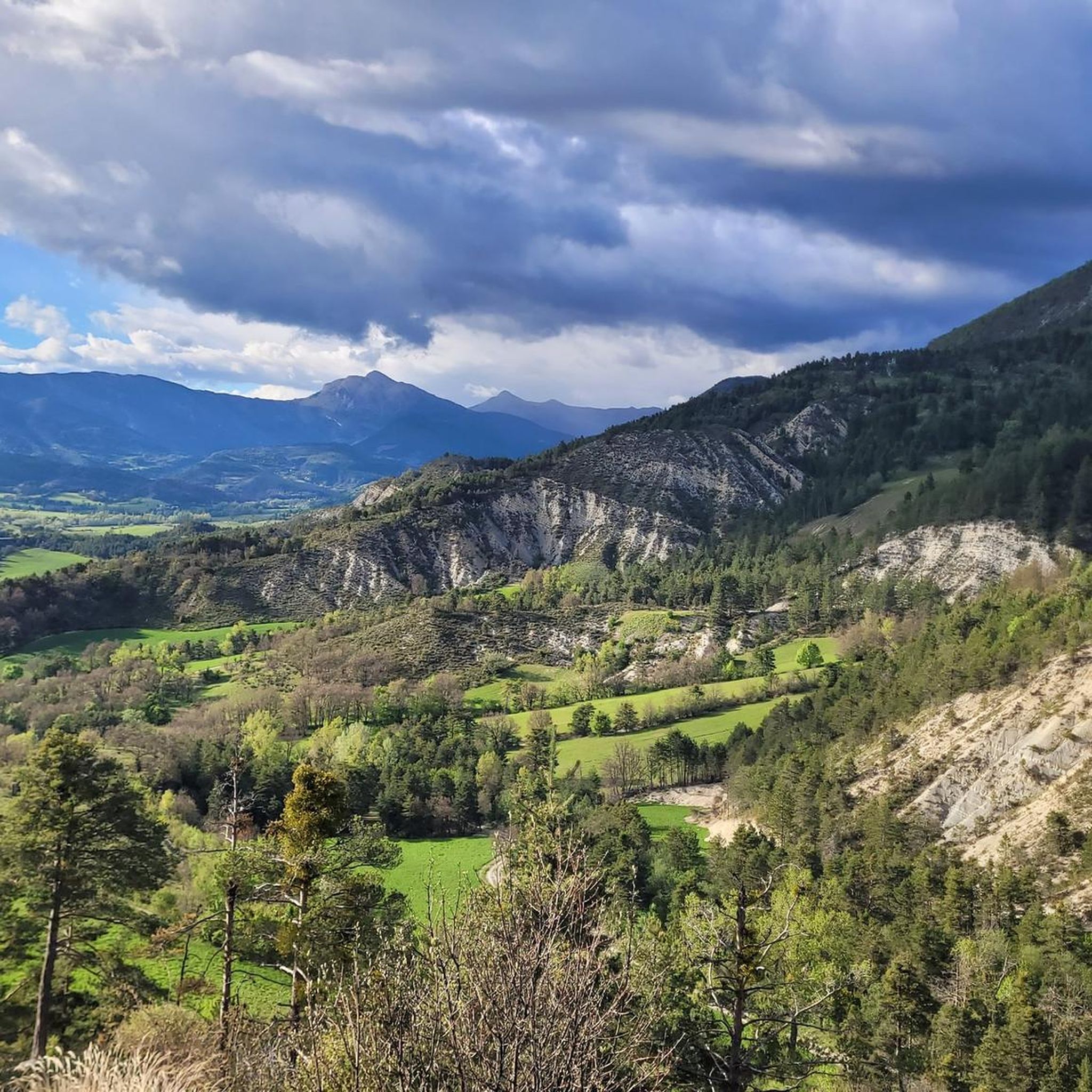
Road cycling routes around Lambruisse are situated in a tranquil valley within the Alpes-de-Haute-Provence, characterized by green meadows, wooded hills, and the Encure river. The surrounding region features diverse terrain, including limestone hills, olive groves, and cypress trees, offering varied landscapes for cyclists. This area provides access to both gentle slopes and challenging ascents, with well-paved roads winding through picturesque Provençal countryside. The broader Alpes-de-Haute-Provence region is known for its mountain passes and scenic routes through pine-covered hills and rolling…
Last updated: July 9, 2026
4.8
(8)
127
riders
50.2km
02:39
930m
930m
Hard road ride. Very good fitness required. Mostly well-paved surfaces and easy to ride.
4.3
(3)
125
riders
57.9km
02:54
910m
910m
Hard road ride. Very good fitness required. Some segments of this route may be unpaved and difficult to ride.

Sign up for free
4.0
(1)
69
riders
184km
10:13
3,810m
3,810m
Hard road ride. Very good fitness required. Mostly well-paved surfaces and easy to ride.
4.5
(4)
71
riders
81.5km
04:13
1,400m
1,400m
Hard road ride. Very good fitness required. Mostly well-paved surfaces and easy to ride.
21
riders
135km
06:58
2,390m
2,390m
Hard road ride. Very good fitness required. Mostly well-paved surfaces and easy to ride.
Get access to more routes and recommendations from other explorers.
Sign up for free
Already have an account?
Our route recommendations are based on thousands of hikes, rides, and runs completed by other people on komoot.
Start today with a free account
Your next adventure awaits.
Login or Signup
Tips from the Community

An absolute must for every good tourist 8-) Seriously, definitely check it out, the color of the water is different every time.
0
0

A TRUE GATEWAY TO WILD YET TAMED NATURE AND MAJESTIC MOUNTAIN PASSES
0
0

Very nice house with good food, which can also be reached by car via the D908 (except in winter).
1
0

Great gorge-like entry into the ascent to the Col de la Cayolle
0
0

Drinking water (tested and approved)!!
0
0


I rode this gorge down from Cayolle after climbing the other side. What an incredible place, really beautiful! Too bad it doesn't last long downhill, I would have liked to turn the bike around and do it slowly uphill.
0
0
The circular hike was closed, the campsite and the cafe were closed
0
0
Frequently Asked Questions
What types of road cycling routes can I find around Lambruisse?
The region around Lambruisse offers a diverse range of road cycling routes, from moderate paths through tranquil valleys and green meadows to challenging ascents in the broader Alpes-de-Haute-Provence. You'll find well-paved roads winding through picturesque Provençal countryside, pine-covered hills, and rolling vineyards, catering to various skill levels.
Are there routes suitable for beginners or those looking for an easier ride?
Yes, while the region offers challenging climbs, there are also moderate routes available. For example, the Lake des Sagnes loop from Saint-André les Alpes is a moderate 52.6 km route with an elevation gain of 773 meters, offering a scenic ride without extreme difficulty. Another moderate option is the View of Lake Castillon – Castillon Dam and Lake loop from Saint-André les Alpes, which is 33.9 km with 478 meters of elevation gain.
Where can I find challenging road cycling routes with significant climbs?
For experienced cyclists seeking a challenge, the region provides routes with substantial elevation gains. The Bachelard Gorges – Cayolle Pass loop from Thorame-Haute Gare is a difficult 184 km path featuring significant climbs through the Bachelard Gorges and over the renowned Cayolle Pass, with over 3,800 meters of elevation. Another demanding option is the View of the Verdon Gorge – View of the Verdon loop from Saint-André les Alpes, a 129.8 km route with over 2,000 meters of climbing through dramatic landscapes.
What natural landmarks or attractions can I see along the cycling routes?
The routes around Lambruisse offer access to stunning natural features. You can cycle past the dramatic landscapes of the Gorges du Verdon, or enjoy views of lakes like Lac de Sainte-Croix and Lac de Castillon. Notable landmarks include the Col du Défens (1,230 m) and the unique land art installation, Sentinel of the Asse – Andy Goldsworthy. The region is also part of the UNESCO Géoparc de Haute-Provence, showcasing remarkable geological history.
Are there any circular road cycling routes available?
Yes, many of the road cycling routes around Lambruisse are designed as loops, allowing you to start and end in the same location. Examples include the Lake des Sagnes loop from Saint-André les Alpes and the challenging Bachelard Gorges – Cayolle Pass loop from Thorame-Haute Gare. These circular routes provide a convenient way to explore the diverse terrain.
What is the best time of year for road cycling in Lambruisse?
The Provence-Alpes-Côte d'Azur region, including Lambruisse, generally offers excellent cycling conditions from spring through autumn. Spring brings blooming lavender fields and pleasant temperatures, while autumn provides cooler weather and beautiful foliage. Summer can be warm, especially in the valleys, so early morning rides are recommended. Winter cycling is possible in lower elevations, but higher mountain passes will be closed due to snow.
Can I find family-friendly road cycling options near Lambruisse?
While many routes involve elevation, some sections and flatter valley roads can be suitable for families with older children or those comfortable with moderate distances. The region's well-paved roads through picturesque countryside offer a pleasant environment. For very young children, dedicated cycle paths might be limited, but the less trafficked local roads can be an option for a relaxed ride.
What do other cyclists say about road cycling in Lambruisse?
The road cycling routes around Lambruisse are highly regarded by the komoot community, with an average rating of 4.5 stars from over 20 reviews. Cyclists often praise the serene valleys, wooded hills, and the access to both moderate and challenging mountain passes, highlighting the varied terrain and beautiful Provençal landscapes.
Are there opportunities to cycle through the Durance Valley or other regional highlights?
Yes, Lambruisse's location provides access to scenic regional routes, including sections of the Durance Valley cycle route. This allows cyclists to traverse historic sites and remarkable landscapes under the southern sun. The broader Alpes-de-Haute-Provence region is a road bike paradise, connecting to renowned mountain passes and picturesque villages.
Where can I find parking for road cycling routes in Lambruisse?
Lambruisse, being a charming village, typically offers local parking options. For routes starting from nearby towns like Saint-André les Alpes or Thorame-Haute Gare, there are usually designated parking areas available, often near train stations or village centers, providing convenient access to the trailheads.
Are there any routes that offer views of the Gorges du Verdon?
Absolutely. The View of the Verdon Gorge – View of the Verdon loop from Saint-André les Alpes is a spectacular route specifically designed to showcase the dramatic landscapes around Europe's largest canyon. This challenging 129.8 km ride provides breathtaking vistas of the turquoise waters and towering cliffs of the Gorges du Verdon.
What is the overall difficulty level of road cycling routes in the Lambruisse area?
The road cycling routes in the Lambruisse area offer a balanced mix of difficulties. Out of the 17 available routes, 8 are classified as moderate, and 9 are considered difficult. This means cyclists can choose between enjoyable rides with manageable climbs or opt for more strenuous challenges through mountain passes and gorges, depending on their fitness and experience.
Most popular attractions around Lambruisse

Get inspired with the komoot mobile app


Explore more
Browse the best Road cycling routes in other regions.
