The best running trails around Villanière
4.2
(17)
1,264
runners
112
runs
Jogging routes around Villanière explore the varied landscapes of the Montagne Noire, characterized by a blend of challenging and accessible terrains. The region features the Orbiel valley and offers views of the Carcassonnais plain and the Pyrenees. This area provides diverse running experiences, from gentle slopes to more demanding ascents, catering to different fitness levels.
Best jogging routes around Villanière
- The most popular jogging route is Cubserviès Cascade loop from Mas-Cabardès, a 9.0 miles (14.6 km) trail that takes…
Last updated: June 28, 2026
37
runners
14.8km
02:03
630m
630m
Hard run. Very good fitness required. Sure-footedness, sturdy shoes and alpine experience required.
18
runners
30.6km
04:14
1,250m
1,250m
Hard run. Very good fitness required. Sure-footedness, sturdy shoes and alpine experience required.

Sign up for free
12
runners
18.5km
02:36
790m
790m
Hard run. Very good fitness required. Mostly accessible paths. Some sure footedness required.
8
runners
9.91km
01:09
200m
200m
Moderate run. Good fitness required. Mostly paved surfaces. Suitable for all skill levels.
8
runners
22.7km
03:10
970m
970m
Hard run. Very good fitness required. Sure-footedness, sturdy shoes and alpine experience required.
Get access to more routes and recommendations from other explorers.
Sign up for free
Already have an account?
Our route recommendations are based on thousands of hikes, rides, and runs completed by other people on komoot.
Start today with a free account
Your next adventure awaits.
Login or Signup


Tips from the Community

Very nice and there were waffles and ice cream
0
0

Beautiful view of the hilltop village of Cubserviès. You have to follow the road to reach the village, from where you can admire the highest waterfall in the Aude department.
1
0

The Cubserviès waterfall is a true masterpiece of nature: the Sambrès plateau dominates this part of the Montagne Noire with its cover of conifers. It drains several streams that join together and form the Rieutort. The river then enters a fault in the rock to form the Cubserviès waterfall. It is made up of several projections and is nearly 90 meters high, making it the highest waterfall in the Aude department. Needless to say, there is no access to the foot of the waterfall as it is so deep. In fact, you should not approach it, it is much too dangerous! The part visible from the belvedere reaches 35 meters, for the greatest pleasure of your eyes!
1
0

The hamlet of Cubserviès offers a magnificent view overlooking the waterfall.
1
0
On this trail, nature reclaims its rights on a site formerly developed by man.
1
0
The Ventajou ridge offers magnificent open views towards the south, up to the Pyrenees.
1
0

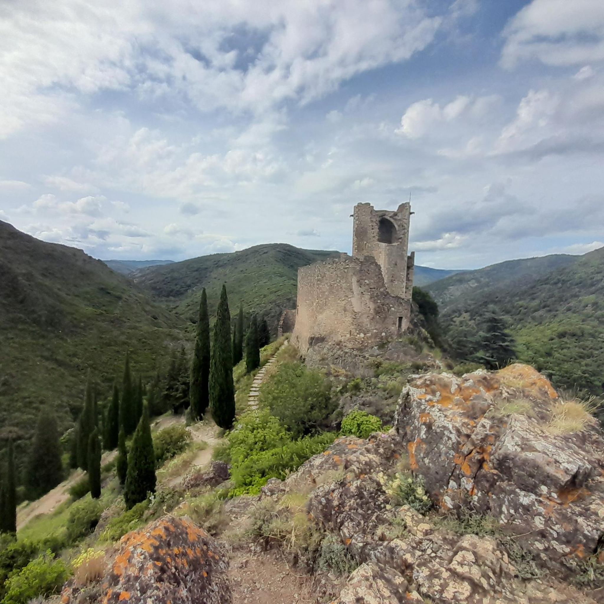
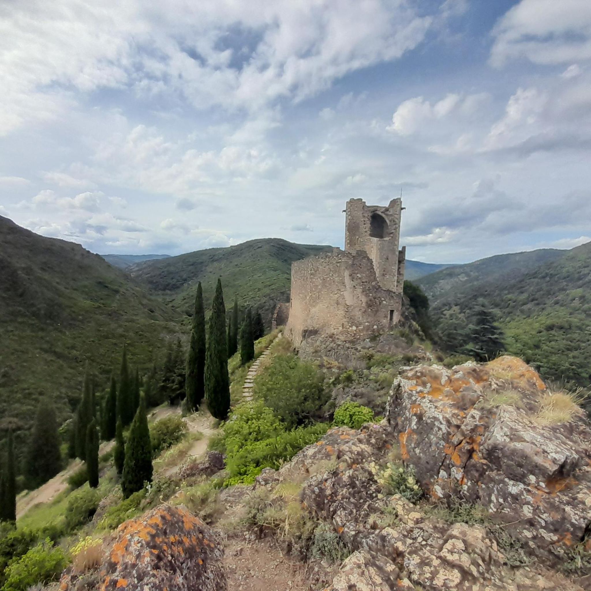
Exceptional site of the Montagne Noire with its 4 castles, 40 caves and medieval village. Its history dates back to the Bronze Age and archaeological excavations continue in these places. The medieval complex includes 4 castles: Cabaret, Tour Régine, Surdespine and Quertineux, built on top of a rocky base; while the medieval village, the Castrum de Cabaret, is housed in the steep valley. For history buffs, visiting the village can easily keep you busy all day...
0
0
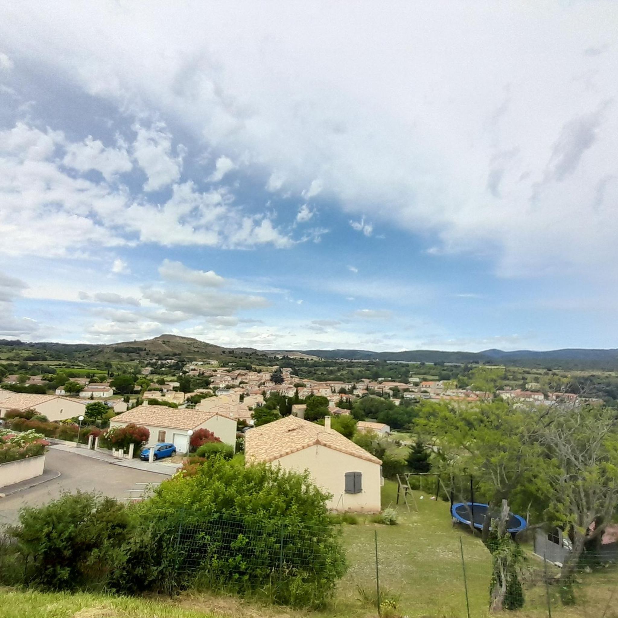
Built lengthwise in the hollow of the valley formed by the Orbiel, this Cathar village is not lacking in charm. Dominated by the remains of a medieval castle that played a strategic role during the wars of religion, you can discover in the town, in addition to the Church, various old corbelled and half-timbered houses testifying to past prosperity. Similarly, the so-called Weavers' Cross evokes a textile activity that has now disappeared, just like the agricultural exploitation which is no longer practiced in the town because of the steepness of the land. After having counted up to 900 inhabitants around 1860, the village only has 177 at the last census.
0
0
Frequently Asked Questions
How many running routes are available around Villanière?
There are over 120 running routes around Villanière, catering to various fitness levels. You'll find a diverse range of paths, from moderate trails to more challenging ascents within the Montagne Noire.
Are there any easy or beginner-friendly jogging paths in Villanière?
Yes, while many routes are moderate to difficult, there are options for beginners. For example, the Running loop from Cuxac-Cabardès is a moderate 9.9 km path with less elevation gain, suitable for those looking for a less strenuous run.
What are the most scenic running routes in the Villanière area?
The region offers stunning scenery. Routes like the Cubserviès Cascade loop from Mas-Cabardès provide views of the impressive Cubserviès Waterfall. The Auberge de l'Orbiel – Orbiel Inn loop from Lastours offers views of the historic Châteaux de Lastours and the picturesque Orbiel valley. The Montagne Noire itself provides magnificent views of the Carcassonnais plain and the distant Pyrenees.
Can I find routes that pass by the Cascade de Cubserviès?
Absolutely! The Cubserviès Cascade loop from Mas-Cabardès is a popular 14.6 km route specifically designed to explore the natural beauty around the Cubserviès Waterfall, the highest in the Aude department. Another option is the Cubserviès Cascade – La Tourette Cabardes loop from Mas-Cabardès.
Are there any running trails that explore historical sites?
Yes, the area is rich in history. The Auberge de l'Orbiel – Orbiel Inn loop from Lastours, for instance, offers views of the four ruined Cathar castles of Lastours, perched dramatically above the Orbiel and Gresilhou rivers. These historical sites provide a unique backdrop for your run.
Are there any family-friendly jogging routes in Villanière?
While many routes in the Montagne Noire can be challenging, there are easier sections and paths suitable for families. Look for routes described as 'moderate' or those with less elevation gain. The Orbiel valley often provides more accessible terrain for a pleasant family run.
Are the jogging routes around Villanière dog-friendly?
Most natural trails in the Montagne Noire are generally dog-friendly, but it's always recommended to keep your dog on a leash, especially in sensitive natural areas or near livestock. Ensure your dog is fit enough for the chosen route, as some can be quite long and challenging.
Are there circular running trails available?
Yes, many of the running routes around Villanière are circular, allowing you to start and end at the same point. Examples include the Cubserviès Cascade loop from Mas-Cabardès and the Auberge de l'Orbiel – Orbiel Inn loop from Lastours, which are popular circular options.
What do other runners enjoy most about jogging in Villanière?
The komoot community highly rates the running experiences in Villanière, with an average score of 4.5 stars from over 10 reviews. Runners often praise the diverse terrain, the stunning views of the Montagne Noire and Pyrenees, and the combination of natural beauty with historical landmarks like the Châteaux de Lastours.
Is public transport available to access the running routes?
Villanière is a small village in a rural area, so public transport options might be limited directly to trailheads. It's advisable to check local bus schedules if you plan to rely on public transport. Many runners typically access these routes by car, parking near the starting points in villages like Mas-Cabardès or Lastours.
Are there parking facilities near the starting points of the running routes?
Yes, you can generally find parking in the villages that serve as starting points for many routes, such as Mas-Cabardès and Lastours. These villages are common access points for exploring the Montagne Noire and its trails.
What is the best time of year for running in Villanière?
The region offers good running conditions for much of the year. Spring and autumn provide pleasant temperatures and vibrant scenery. Summer can be warm, so early morning or late afternoon runs are recommended. The Montagne Noire's varied terrain means you can find suitable routes even in cooler months, though some higher elevation paths might be affected by weather.
What kind of terrain can I expect on the running trails?
The terrain around Villanière is highly varied, reflecting its location within the Montagne Noire. You can expect a mix of forest paths, rocky trails, and some paved sections, with significant elevation changes on many routes. This diversity offers everything from gentle slopes in valleys to challenging ascents in the mountains.
Most popular routes around Villanière
Most popular attractions around Villanière

Get inspired with the komoot mobile app


Explore more
Browse the best Running Trails & Routes in other regions.
