The best MTB trails around Diesdorf
4.4
(429)
2,209
riders
144
rides
Mountain biking around Diesdorf offers a diverse landscape characterized by rolling hills, open fields, and sections of woodland. The terrain includes varied elevation changes, with routes featuring both gradual ascents and notable descents. This region provides a mix of natural paths and trails that traverse agricultural areas and historical points of interest.
Best mountain bike trails around Diesdorf
- The most popular mountain bike trail is Anhydrite descent – Path to Montzel loop from Stuckange, a 30.0 miles (48.2 km)…
Last updated: October 9, 2026
4.4
(21)
96
riders
48.5km
04:15
800m
800m
Moderate mountain bike ride. Good fitness required. Advanced riding skills necessary.
4.4
(5)
27
riders
38.4km
02:37
200m
200m
Moderate mountain bike ride. Good fitness required. Suitable for all skill levels.

4.3
(7)
20
riders
26.8km
02:21
450m
450m
Moderate mountain bike ride. Good fitness required. Advanced riding skills necessary.
4.0
(1)
14
riders
34.1km
03:11
720m
720m
Moderate mountain bike ride. Good fitness required. Suitable for all skill levels.
4.8
(5)
36
riders
51.4km
04:05
640m
640m
Moderate mountain bike ride. Good fitness required. Advanced riding skills necessary.
Get access to more routes and recommendations from other explorers.
Already have an account?
Our route recommendations are based on thousands of hikes, rides, and runs completed by other people on komoot.
Start today with a free account
Your next adventure awaits.
Tips from the Community

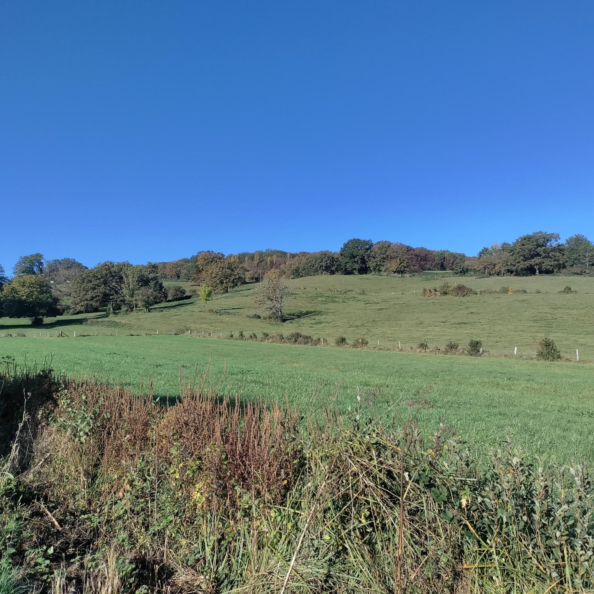
A beautiful walk between golf and forest, with several loops
0
0

This is a spot with tracks going in all directions on old military trenches. There are transitions of all sizes and at least one small drop.
0
0

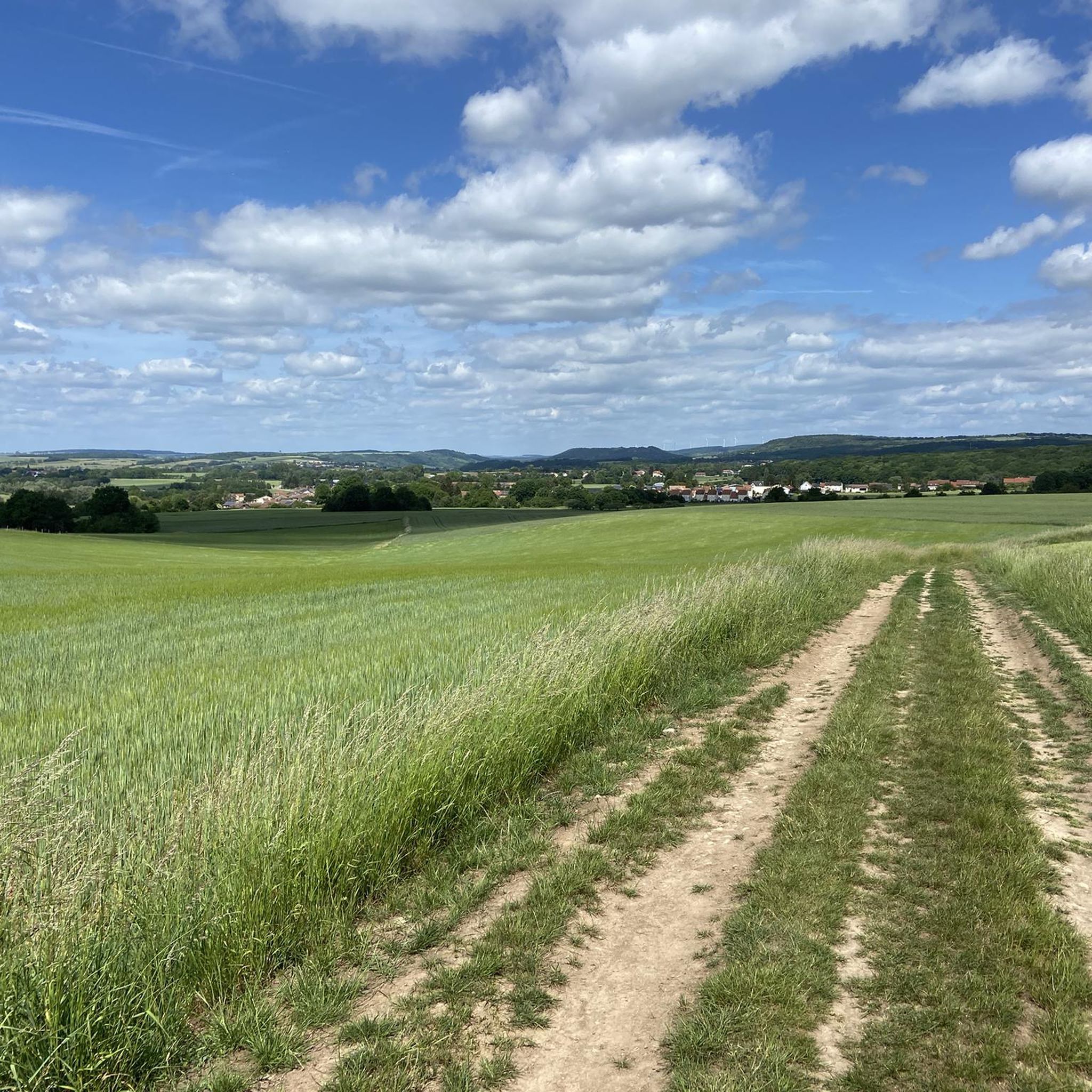
🌄 **View of Veckring – A village idyll between forest and fortress** The **view of Veckring** offers a peaceful panorama of the Lorraine village, picturesquely nestled in a valley basin – surrounded by rolling hills, fields, and dense forests. Above, the famous **Ouvrage du Hackenberg** towers, its strategic location once watching over the valley. 🏘️ Veckring itself is quiet, with typical Lorraine houses and a small church square. The surrounding area is ideal for hikes with a view. **Tip:** The ridge trail south of the village is particularly beautiful – there are several open spots with views over the rooftops of Veckring and across to the Moselle Valley. Ideal for a quiet rest with a panoramic view.
0
0
🛡️ **Ouvrage du Hackenberg** – The Largest Fortification of the Maginot Line** The **Ouvrage du Hackenberg** near **Veckring** is the most impressive and largest fortification of the **Maginot Line** – a real must-see for history buffs. Built between 1929 and 1935, it includes: 🔩 **17 combat and entry blocks**, 🚇 over **10 km of underground tunnels**, 🚂 an **internal electric railway**, ⚙️ barracks, ammunition depots, a hospital, and a power supply. During World War II, the fort was combat-ready, but was evacuated without a fight after the armistice in 1940. The French Army later reused the facility during the Cold War. 🎟️ Today, Hackenberg has been beautifully restored and can be visited on guided tours – including a ride on the original narrow-gauge railway. Tip: Be sure to take a guided tour – it lasts about two hours. The underground coolness is pleasant even in summer! It's ideal for a half-day excursion with a historical twist.
0
0

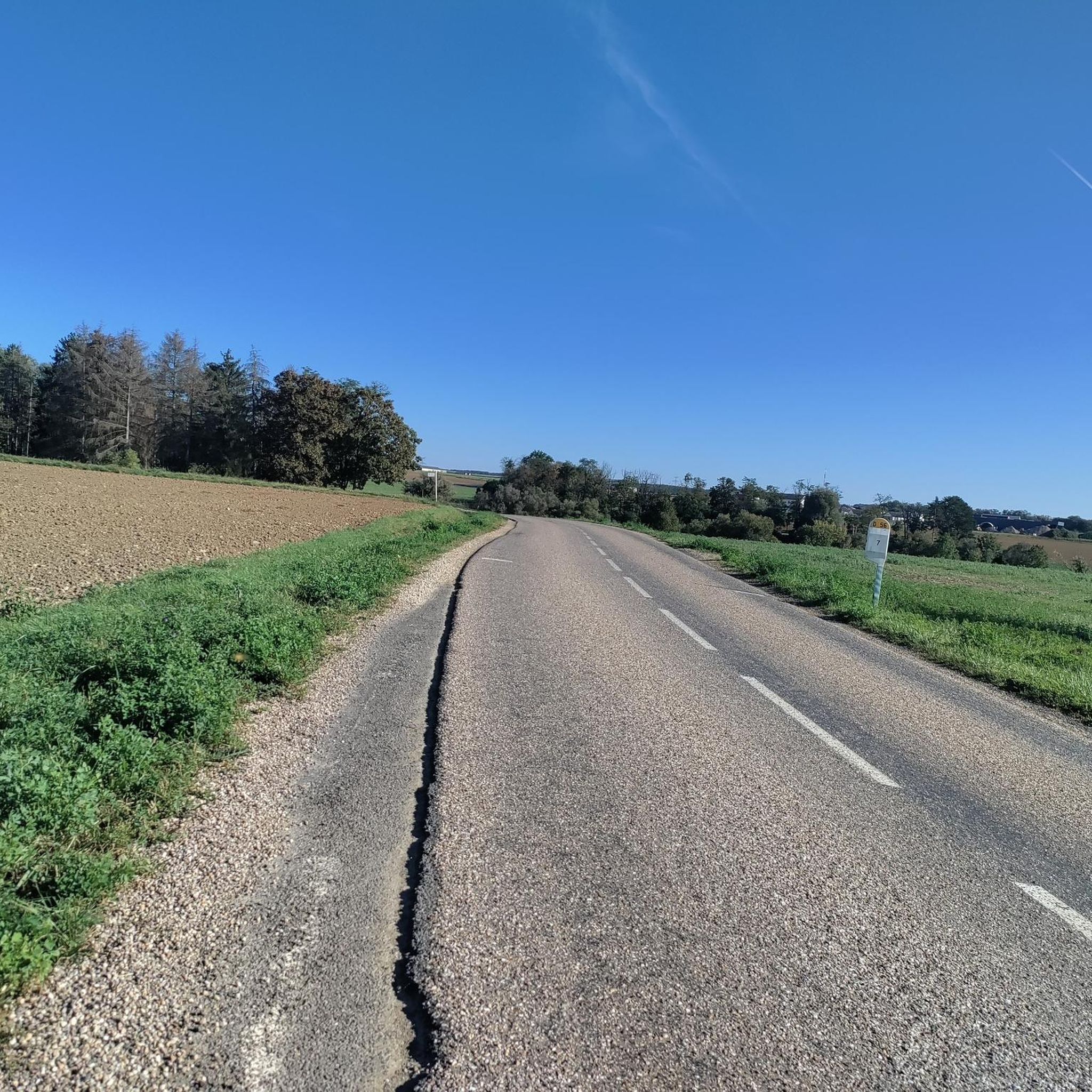
A super asphalted one-way road leads up to the fort and back down again 🚴👍
1
0

Entering the buildings prohibited
0
0


Frequently Asked Questions
How many mountain bike trails are available around Diesdorf?
There are over 150 mountain bike trails to explore around Diesdorf, offering a wide range of options for different skill levels and preferences.
Are there mountain bike trails suitable for beginners in Diesdorf?
Yes, Diesdorf offers a good selection of trails for beginners. There are 57 easy-rated routes, such as the Mountainbike loop from Distroff, which provides a gentle introduction to the region's terrain.
Where can I find more challenging mountain bike routes in Diesdorf?
For those seeking a challenge, Diesdorf has 7 difficult-rated mountain bike trails. Additionally, many of the 94 moderate routes, like the Anhydrite descent – Path to Montzel loop from Stuckange, feature significant elevation changes and varied terrain that can test experienced riders.
What is the typical length of mountain bike trails around Diesdorf?
Trail lengths vary significantly. You'll find shorter routes perfect for a quick ride, as well as longer, more demanding tours. For example, the Path to Montzel – Anhydrite descent loop from Distroff is a moderate 18.2 miles (29.3 km) ride, while the Moulun – Field With Hay Bales loop from Stuckange covers 33.6 miles (54.1 km).
What is the best time of year for mountain biking in Diesdorf?
The spring, summer, and autumn months generally offer the best conditions for mountain biking in Diesdorf, with pleasant temperatures and dry trails. While some trails may be accessible in winter, conditions can be challenging due to cold, ice, or snow, so it's best to check local weather and trail reports.
Are there any circular mountain bike trails in Diesdorf?
Yes, many of the mountain bike routes around Diesdorf are designed as loops, allowing you to start and finish at the same point. Examples include the Casemate Shelter of Veckring – Hackenberg Fort loop from Metzervisse and the Mountainbike loop from Distroff.
What can I see along the mountain bike trails in Diesdorf?
The region around Diesdorf offers a mix of natural landscapes and historical points of interest. You might encounter sites like the Hackenberg Fort or the Lac du Mirgenbach. The trails often traverse open fields, wooded sections, and areas with varied elevation profiles.
What do other mountain bikers enjoy most about mountain biking in Diesdorf?
The area is highly rated by the komoot community, with an average score of 4.4 stars from over 380 reviews. Riders often praise the diverse landscape, which includes rolling hills, open fields, and sections of woodland, as well as the mix of natural paths and varied elevation changes.
Are there any historical landmarks accessible by mountain bike in Diesdorf?
Yes, the region has several historical landmarks. For instance, the Casemate Shelter of Veckring – Hackenberg Fort loop from Metzervisse takes you past significant historical sites like the Hackenberg Fort, part of the Maginot Line.
Can I find scenic viewpoints along the mountain bike trails in Diesdorf?
While specific named viewpoints are not detailed, the varied terrain of Diesdorf, with its rolling hills and open fields, naturally offers many scenic vistas. Routes often provide panoramic views of the surrounding agricultural areas and woodlands, especially from higher elevations.
Is parking generally available near mountain bike trailheads in Diesdorf?
While specific parking information for each trailhead isn't always listed, it's common for popular outdoor areas like Diesdorf to have designated parking facilities near trail access points, especially in or near villages that serve as starting points for tours.
Most popular attractions around Diesdorf

Get inspired with the komoot mobile app


Explore more
Browse the best MTB trails in other regions.
