The best walks and hikes around Diesdorf
4.3
(445)
3,048
hikers
250
hikes
Hiking around Diesdorf offers exploration of a landscape shaped by the Ice Age, featuring distinctive terminal moraines and extensive wooded areas. The region's topography provides varied scenery for outdoor activities, including picturesque forests with ancient oak trees. Hikers can traverse these natural features, which are complemented by historical sites integrated into the trail network.
Best hiking trails around Diesdorf
- The most popular hiking route is Hiking loop from Cité, a 8.7 miles (14.0 km) trail that takes 3 hours…
Last updated: October 9, 2026
4.6
(16)
26
hikers
11.4km
02:59
90m
90m
Moderate hike. Good fitness required. Easily-accessible paths. Suitable for all skill levels.
4.5
(2)
6
hikers
16.0km
04:36
400m
400m
Moderate hike. Good fitness required. Easily-accessible paths. Suitable for all skill levels.

4.0
(3)
8
hikers
16.1km
04:35
350m
350m
Moderate hike. Good fitness required. Easily-accessible paths. Suitable for all skill levels.
7
hikers
7.17km
01:52
50m
50m
Easy hike. Great for any fitness level. Easily-accessible paths. Suitable for all skill levels.
5.0
(1)
18
hikers
11.7km
03:05
100m
100m
Moderate hike. Good fitness required. Easily-accessible paths. Suitable for all skill levels.
Get access to more routes and recommendations from other explorers.
Already have an account?
Our route recommendations are based on thousands of hikes, rides, and runs completed by other people on komoot.
Start today with a free account
Your next adventure awaits.
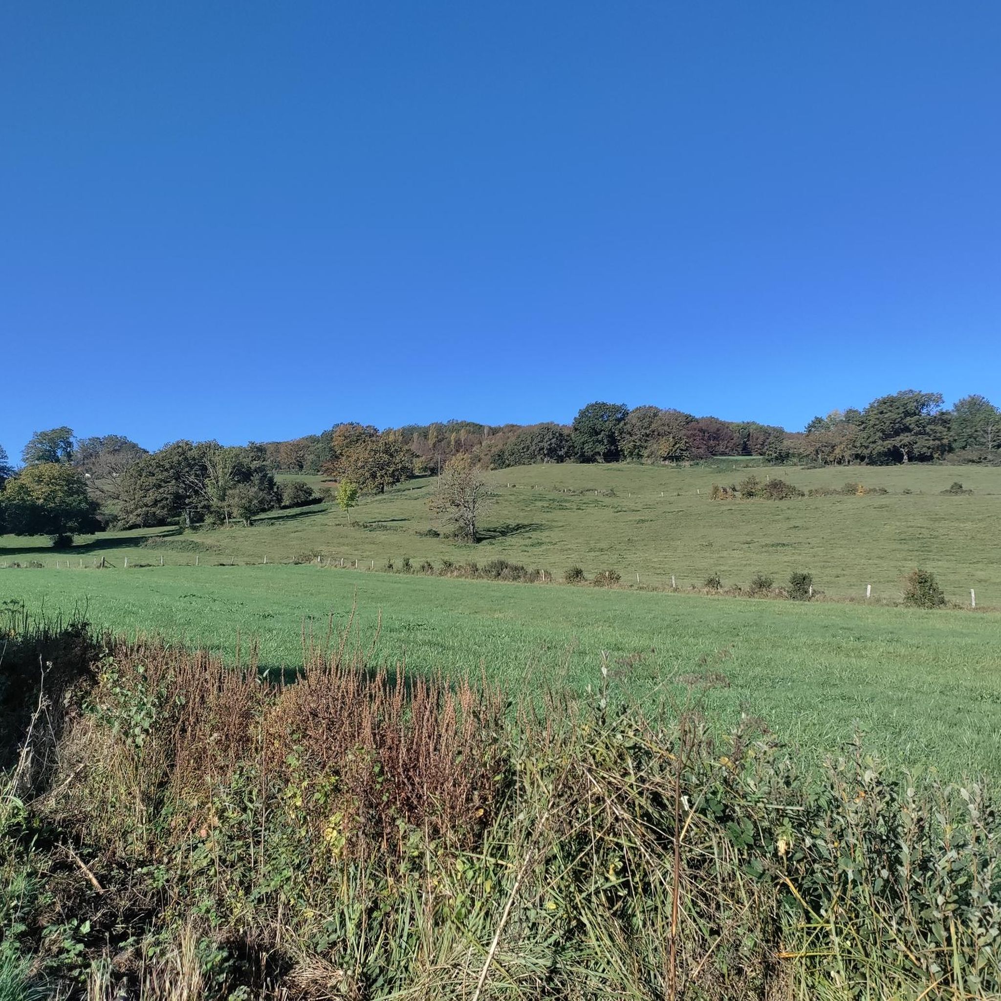
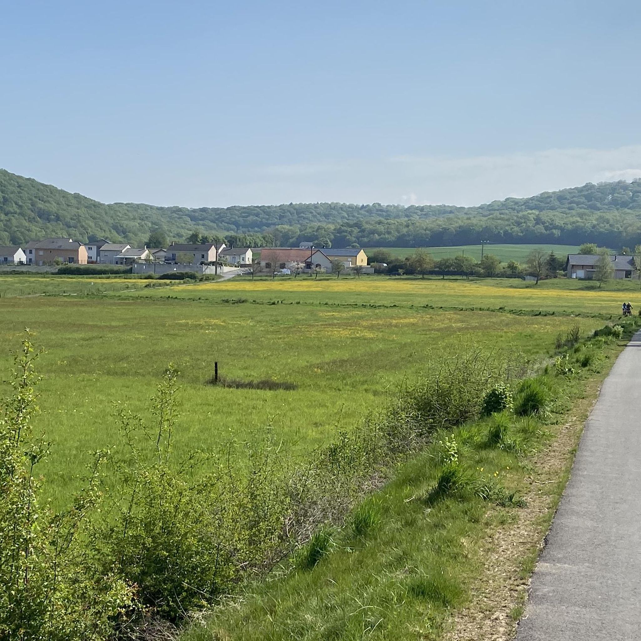
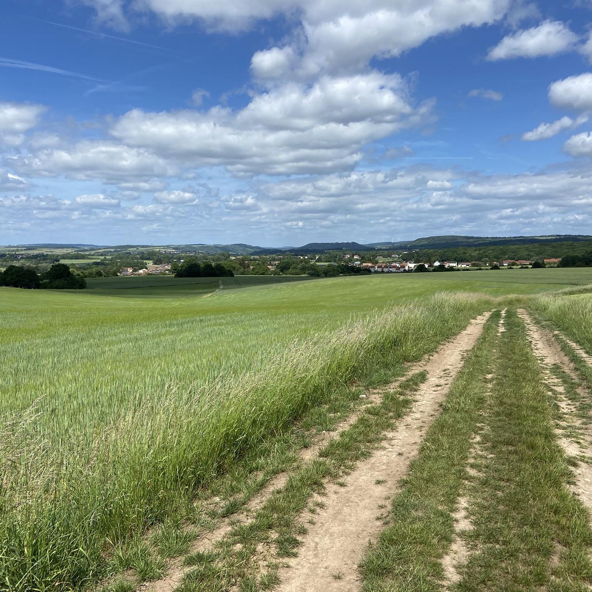
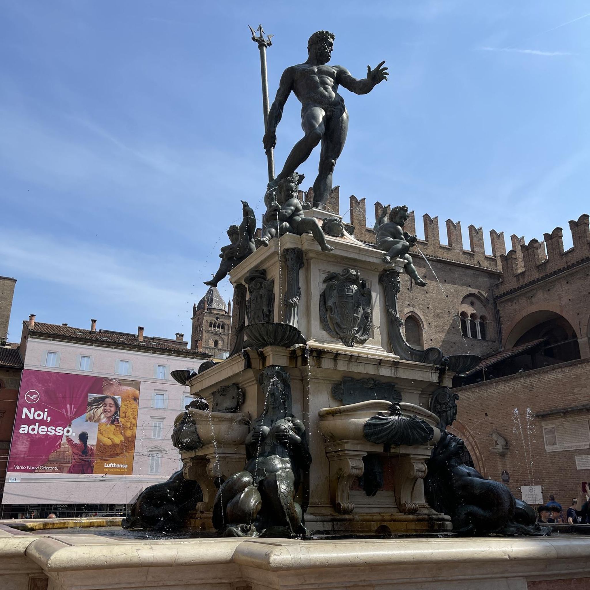
Tips from the Community

A beautiful walk between golf and forest, with several loops
0
0

🛡️ **Abri des Chênes Brûlés – Hidden Shelter of the Maginot Line** The **Abri des Chênes Brûlés** (German: "Shelter of the Burnt Oaks") is hidden in the forest near **Kemplich** and was part of the French **Maginot Line**. It served as an **underground shelter for infantry units** stationed along the line. 🕳️ The concrete bunker is partially overgrown but still clearly recognizable – with typical features such as loopholes, ventilation openings, and massive steel reinforcements. Today, it is not accessible, but visible from the outside and impressively preserved. **Tip:** The shelter is quietly located on the edge of the forest – ideal as a quiet, historic stopover on a hike through the former defense area. Please treat it with respect – it is a place of military-historical significance.
3
0
🌾 **View of Kemplich – Peace and Space in the Lorraine Hills** The **view of Kemplich** offers a tranquil panorama of the small village amidst rolling meadows and fields. Nestled in the Lorraine border region, Kemplich, with its bright houses, church, and farmsteads, seems like a place where time passes more slowly. 🌳 The panorama is particularly beautiful from the ridge west of the village – on a clear day, the view extends far across the landscape to the surrounding valleys. **Tip:** Perfect for a short rest with a view of a typical French village – ideal for quiet moments in nature and a feeling of space.
2
0
🌄 **View of Veckring – A village idyll between forest and fortress** The **view of Veckring** offers a peaceful panorama of the Lorraine village, picturesquely nestled in a valley basin – surrounded by rolling hills, fields, and dense forests. Above, the famous **Ouvrage du Hackenberg** towers, its strategic location once watching over the valley. 🏘️ Veckring itself is quiet, with typical Lorraine houses and a small church square. The surrounding area is ideal for hikes with a view. **Tip:** The ridge trail south of the village is particularly beautiful – there are several open spots with views over the rooftops of Veckring and across to the Moselle Valley. Ideal for a quiet rest with a panoramic view.
0
0
🛡️ **Ouvrage du Hackenberg** – The Largest Fortification of the Maginot Line** The **Ouvrage du Hackenberg** near **Veckring** is the most impressive and largest fortification of the **Maginot Line** – a real must-see for history buffs. Built between 1929 and 1935, it includes: 🔩 **17 combat and entry blocks**, 🚇 over **10 km of underground tunnels**, 🚂 an **internal electric railway**, ⚙️ barracks, ammunition depots, a hospital, and a power supply. During World War II, the fort was combat-ready, but was evacuated without a fight after the armistice in 1940. The French Army later reused the facility during the Cold War. 🎟️ Today, Hackenberg has been beautifully restored and can be visited on guided tours – including a ride on the original narrow-gauge railway. Tip: Be sure to take a guided tour – it lasts about two hours. The underground coolness is pleasant even in summer! It's ideal for a half-day excursion with a historical twist.
0
0
Route on clean paths without unevenness
1
0

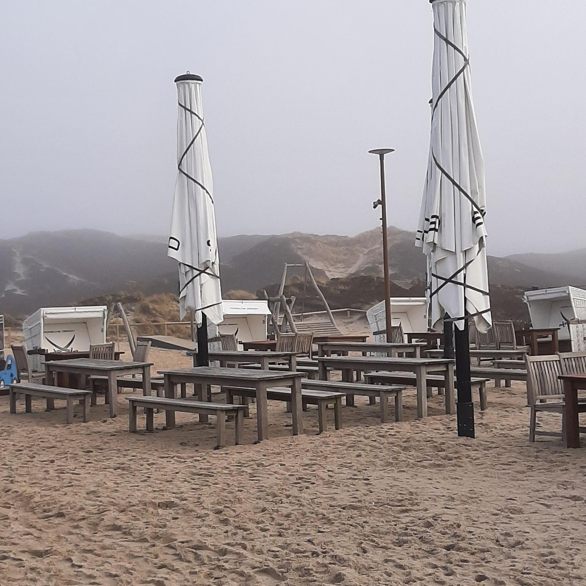
Table with chairs and nice view.
1
0

A super asphalted one-way road leads up to the fort and back down again 🚴👍
1
0
Frequently Asked Questions
How many hiking trails are available in Diesdorf?
Diesdorf offers a wide variety of hiking experiences, with over 240 routes available. These include 101 easy trails, 132 moderate routes, and 7 more challenging options, ensuring there's something for every skill level.
What kind of landscape can I expect when hiking around Diesdorf?
The landscape around Diesdorf is uniquely shaped by the Saale Ice Age, featuring distinctive terminal moraines and extensive wooded areas. You'll traverse picturesque forests, often encountering ancient oak trees, providing varied and scenic views throughout your hike.
Are there family-friendly hiking options in Diesdorf?
Yes, Diesdorf is well-suited for families. Many trails are easy and lead to interesting points. For example, the Hiking loop from Yutz is a moderate 7-mile route that can be enjoyed by active families. The Diesdorf Open-Air Museum, with its natural playground, is also a great destination to incorporate into a family walk.
Can I find circular hiking routes in Diesdorf?
Absolutely. Many of the hiking routes in Diesdorf are designed as loops, allowing you to start and end at the same point. A good example is the I V V Metzeresche loop from Metzervisse, which offers varied terrain over 7.1 miles.
What historical sites or attractions can I see while hiking in Diesdorf?
Diesdorf's trails often combine natural beauty with historical insights. You can discover ancient Megalithic Graves scattered throughout the area. Other notable sites include the Diesdorf Open-Air Museum, the historic Diesdorf Market Square, and the significant Brick Romanesque Monastery Church of St. Mary and Crucis Diesdorf. Further afield, you might encounter sites like Hackenberg Fort or Ouvrage de Galgenberg.
Are there any trails that showcase Diesdorf's unique geological features?
Yes, the entire region around Diesdorf is a testament to its Ice Age past. Many trails traverse the distinctive terminal moraines and forested areas that were sculpted by the Saale Ice Age, offering a direct experience of these geological formations. The extensive wooded areas themselves are a key feature of this landscape.
What do other hikers say about the trails in Diesdorf?
The hiking trails in Diesdorf are highly regarded by the komoot community, with an average rating of 4.3 stars from over 360 reviews. More than 2500 hikers have explored the varied terrain, often praising the well-maintained paths and the blend of natural beauty with historical points of interest.
Are there any dog-friendly hiking trails in Diesdorf?
Many trails in Diesdorf are suitable for hiking with dogs, especially those through the extensive wooded areas. It's always recommended to keep dogs on a leash, particularly near wildlife or in designated nature protection zones, and to check local regulations for specific areas. The YUTZ Nature loop from Kuntzig is a great option for a longer walk with your canine companion.
Where can I find parking for hiking trails in Diesdorf?
Parking facilities are generally available near popular trailheads and attractions in and around Diesdorf. For routes that start from the town center, such as those incorporating the Market Square or Open-Air Museum, designated parking areas are usually provided. For specific routes, checking the tour details on komoot will often provide information on starting points and parking.
Are there options for combining hiking with a visit to a lake or natural water body?
While Diesdorf itself is known for its Ice Age landscape and forests, there are natural water bodies in the broader vicinity. For example, the Lac du Mirgenbach is an attraction that could be combined with a hike in the surrounding area, offering a different natural element to your outdoor experience.
What is the typical duration for a hike in Diesdorf?
Hiking durations in Diesdorf vary significantly depending on the route's length and difficulty. For instance, a moderate trail like the Hiking loop from Cité, which is 8.7 miles long, typically takes around 3 hours and 41 minutes to complete. Shorter, easy walks can be completed in under an hour, while longer routes like the Hackenberg Fort – Abri des Chênes Brûlés loop from Buding can take over 4 hours.
Can I access hiking trails in Diesdorf using public transport?
Diesdorf has public transport connections that can facilitate access to various parts of the municipality. While some trailheads might be directly accessible by bus, others may require a short walk from the nearest stop. It's advisable to check local bus schedules and routes in advance to plan your journey effectively.
Most popular attractions around Diesdorf

Get inspired with the komoot mobile app


Explore more
Browse the best Hikes in other regions.
