The best road cycling routes around Sainte-Marguerite-Lafigère
4.5
(114)
1,675
riders
46
rides
Road cycling around Sainte-Marguerite-Lafigère offers diverse and challenging landscapes within the Ardèche department of southern France. The region features a mid-mountain environment with altitudes ranging from 255m to 1000m, characterized by winding roads and significant elevation changes. Cyclists encounter mountainous areas, green valleys, and plateaus, including the dramatic Chassezac Gorges and the challenging Montagne du Tanargue massif. Several mountain passes, such as Col de la Croix Blanche, provide sustained climbs and panoramic views.
Best road cycling routes around Sainte-Marguerite-Lafigère
- The…
Last updated: July 13, 2026
4.8
(4)
152
riders
96.3km
05:28
1,990m
1,980m
Road cycling the difficult 59.8-mile Col de Finiels in the Cévennes National Park offers vast panoramic views and challenging climbs.
4.5
(4)
57
riders
94.1km
04:58
1,720m
1,720m
Hard road ride. Very good fitness required. Mostly well-paved surfaces and easy to ride.

Sign up for free
5.0
(2)
18
riders
Moderate road ride. Good fitness required. Mostly well-paved surfaces and easy to ride.
12
riders
138km
07:06
2,110m
2,110m
Hard road ride. Very good fitness required. Mostly well-paved surfaces and easy to ride.
6
riders
39.8km
02:32
800m
790m
Moderate road ride. Good fitness required. Some segments of this route may be unpaved and difficult to ride.
Get access to more routes and recommendations from other explorers.
Sign up for free
Already have an account?
Our route recommendations are based on thousands of hikes, rides, and runs completed by other people on komoot.
Start today with a free account
Your next adventure awaits.
Login or Signup
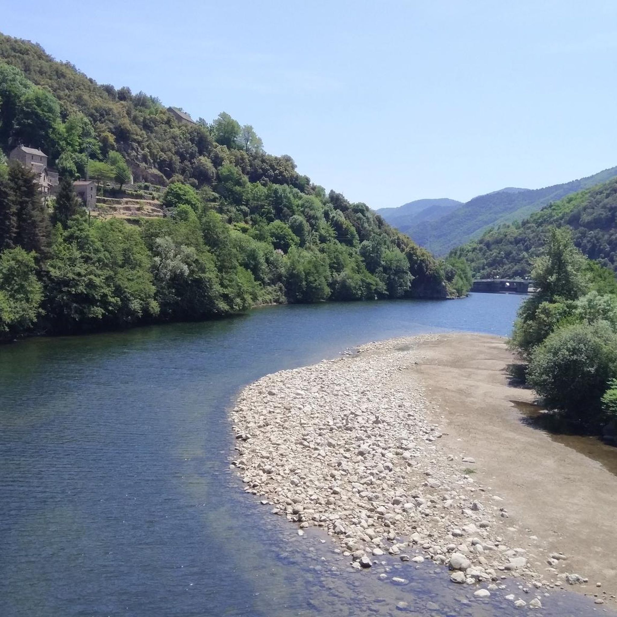
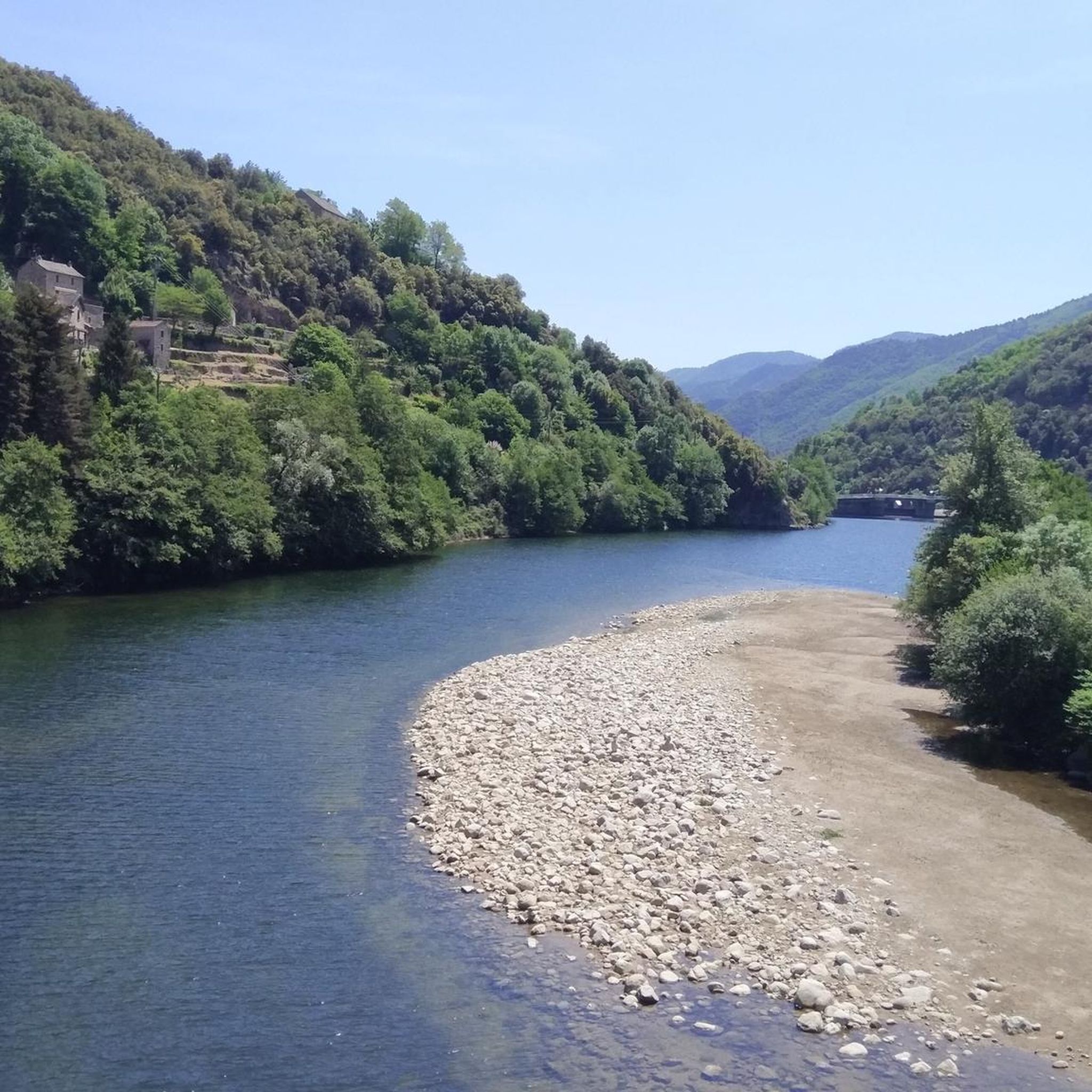
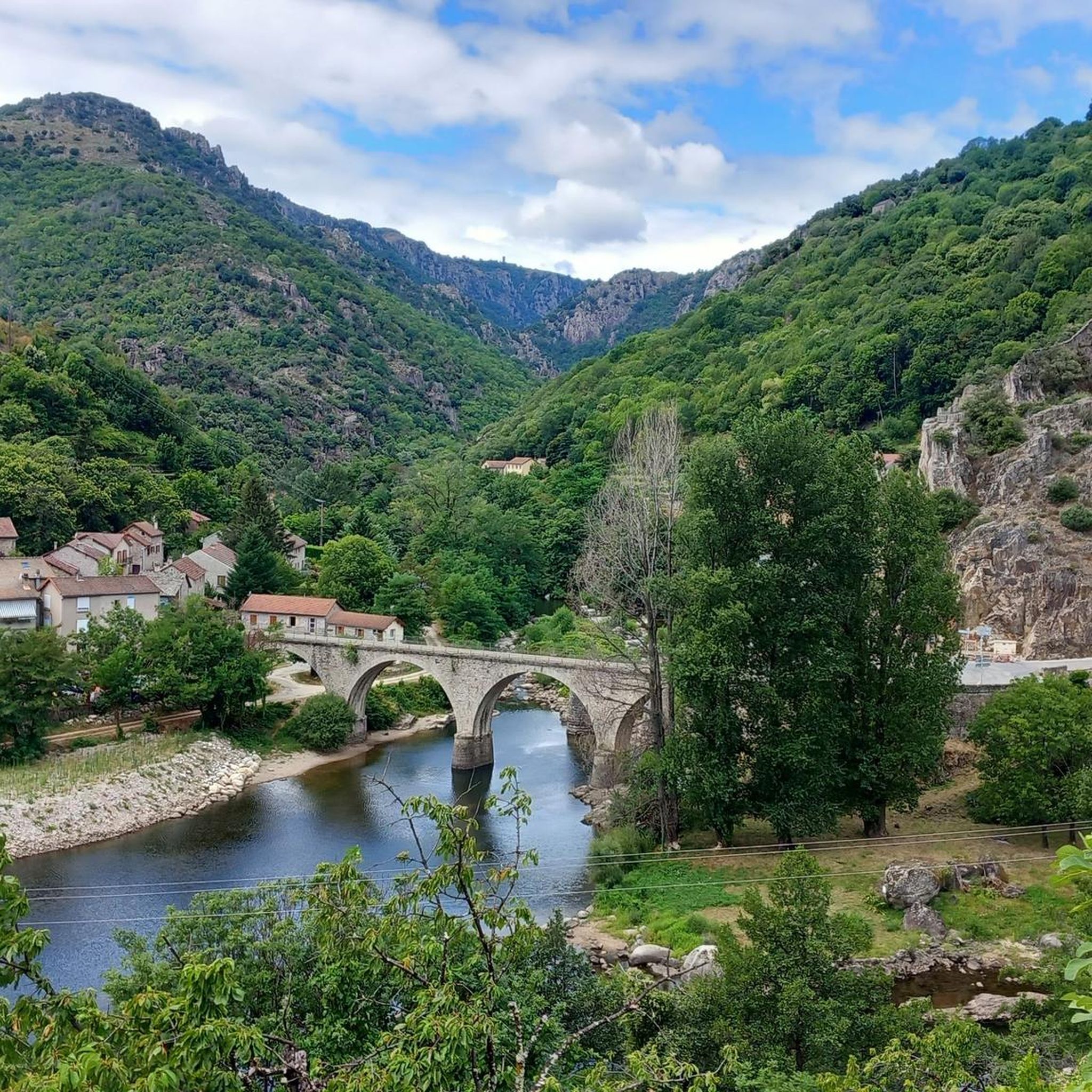
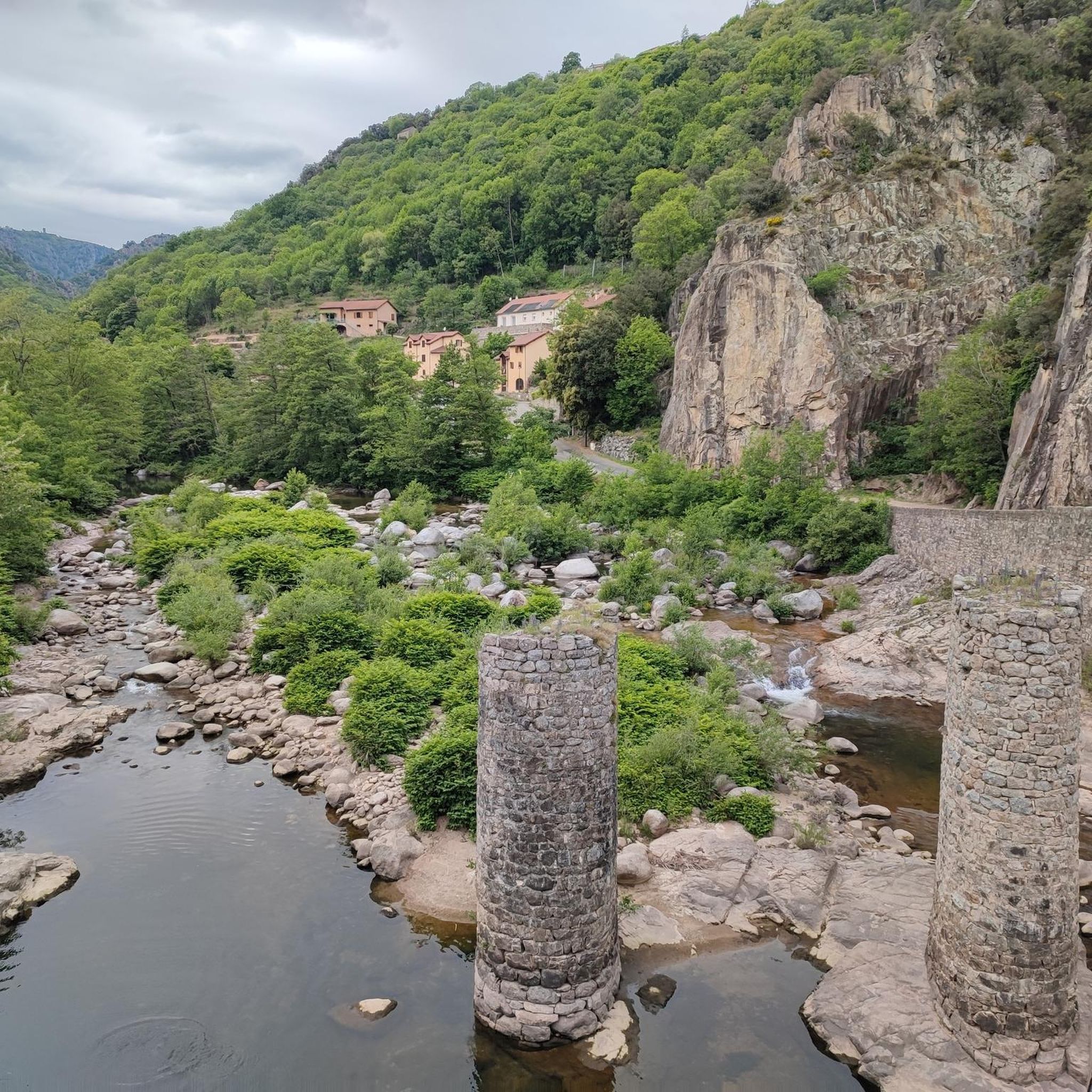

Tips from the Community

Ideal for a short stop during a longer ride. Delicious cakes and cold water. Also a tip for outside cycling: the “Cevenol” bread is incredibly delicious!
0
0

nice little town in the Cévennes
3
0


The acoustics are incredibly good!
1
0

old terminal for collectors :)
0
0


Col du Serre de Tourre 323m high.
1
0
Frequently Asked Questions
What kind of terrain can I expect when road cycling around Sainte-Marguerite-Lafigère?
The region offers a diverse mid-mountain environment with altitudes ranging from 255m to 1000m. You'll encounter winding roads, significant elevation changes, mountainous areas, green valleys, and plateaus. Expect challenging climbs and rewarding descents, characteristic of the Ardèche department.
Are there many road cycling routes available in Sainte-Marguerite-Lafigère?
Yes, there are over 40 road cycling routes around Sainte-Marguerite-Lafigère. These routes cater to various skill levels, with 22 moderate and 20 difficult options, ensuring a wide range of experiences for cyclists.
What are some notable mountain passes for road cyclists in the area?
The area boasts several challenging mountain passes. Key passes include the Col de la Croix Blanche (White Cross Pass), known for its significant elevation gain, the scenic Route de Villefort, and the consistent climb of Col du Chap del Bosc. These passes offer both physical challenges and panoramic views.
What natural attractions can I see along the road cycling routes?
Many routes pass through or near stunning natural features. You can explore the dramatic Rock Pools of the Gorges de Chassezac, cycle through the picturesque La Drobie Valley, or even spot the Waterfall in L’Hivernet. The region's diverse landscape ensures scenic views throughout your ride.
What do other road cyclists say about the routes in Sainte-Marguerite-Lafigère?
The routes in Sainte-Marguerite-Lafigère are highly rated by the komoot community, with an average score of 4.4 stars from over 90 reviews. Cyclists often praise the varied terrain, challenging climbs, and the breathtaking natural beauty of the Ardèche landscape.
Are there any family-friendly road cycling options in Sainte-Marguerite-Lafigère?
While many routes in the immediate vicinity are rated moderate to difficult due to significant elevation changes, the region offers diverse terrain. For families, it's advisable to look for routes with less elevation gain or consider shorter sections of longer routes. The area's charming villages and scenic spots like Lac de Villefort can provide enjoyable stops for all.
What is the best time of year for road cycling in Sainte-Marguerite-Lafigère?
The Ardèche region generally offers good cycling conditions from spring through autumn. Spring and early autumn provide pleasant temperatures and vibrant scenery, while summer can be warm, making early morning or late afternoon rides ideal. The region's established cycling culture, partly due to events like the Ardéchoise, means routes are well-maintained year-round.
Can I find routes that include charming villages or cultural stops?
Absolutely. Road cycling routes in the Ardèche often link picturesque and authentic villages, providing cultural interest and opportunities for stops. You'll discover
Is there a challenging route that offers panoramic views?
Yes, the Tour of East Mont Lozère is a difficult 96.3 km route with nearly 2000m of elevation gain, offering significant challenges and rewarding panoramic views of the surrounding valleys and distant mountains, including the Alps and Mont Ventoux, especially when traversing the Montagne du Tanargue massif.
Are there any circular road cycling routes starting from Sainte-Marguerite-Lafigère?
Yes, several routes offer a circular experience. For instance, the difficult 94.3 km Stone bridge in Pied-de-Borne – La Garde-Guérin Tower loop from Sainte-Marguerite-Lafigère is a popular option that navigates winding roads and diverse topography, bringing you back to your starting point.
What kind of distances and elevations can I expect on the more challenging routes?
Challenging routes in the area typically feature significant distances and elevation gains. For example, the Descent of Bois de Païolive – View of the Chassezac Valley loop from Villefort covers nearly 70 km with over 1300m of ascent, while the D155a – Col du Mas de l'Ayre loop from Villefort is 63.4 km with almost 1200m of climbing.
Most popular routes around Sainte-Marguerite-Lafigère
Most popular attractions around Sainte-Marguerite-Lafigère

Get inspired with the komoot mobile app


Explore more
Browse the best Road cycling routes in other regions.
