The best road cycling routes around Laval-Roquecezière
4.4
(22)
544
riders
87
rides
Road cycling routes around Laval-Roquecezière traverse a landscape characterized by rolling hills and rural roads, often leading past serene lakes and through agricultural areas. The region features varied terrain, including ascents to passes and descents into valleys, providing diverse challenges for road cyclists. Elevation changes are common, with routes navigating through the natural contours of the area.
Best road cycling routes around Laval-Roquecezière
- The most popular road cycling route is Lacaune and Lake Laouzas Loop, a 27.5 miles (44.2…
Last updated: July 8, 2026
5.0
(2)
59
riders
44.2km
02:11
630m
630m
Moderate road ride. Good fitness required. Mostly well-paved surfaces and easy to ride.
3.0
(1)
5
riders
37.4km
01:53
650m
650m
Moderate road ride. Good fitness required. Mostly well-paved surfaces and easy to ride.

Sign up for free
39
riders
120km
06:04
1,970m
1,970m
Hard road ride. Very good fitness required. Mostly well-paved surfaces and easy to ride.
5.0
(1)
38
riders
47.4km
02:15
600m
600m
Moderate road ride. Good fitness required. Mostly well-paved surfaces and easy to ride.
4.0
(3)
26
riders
66.9km
03:21
1,060m
1,060m
Hard road ride. Very good fitness required. Mostly well-paved surfaces and easy to ride.
Get access to more routes and recommendations from other explorers.
Sign up for free
Already have an account?
Our route recommendations are based on thousands of hikes, rides, and runs completed by other people on komoot.
Start today with a free account
Your next adventure awaits.
Login or Signup
Tips from the Community

The cliffs of Orque (or Olque, depending on local toponyms) form a real rocky front overlooking the Haut-Languedoc: a limestone wall about 200 meters high, leaning against a plateau perched around 800 meters, north of the Caroux and Espinouse massifs.
0
0
The Col de la Croix de Mounis is one of those passes where you don't just cross a slope, but a true border between two valleys. Perched at an altitude of about 800 meters, in the heart of Haut-Languedoc, it connects the Mare valley to that of the Dourdou. For a long time, this pass was a strategic crossing point between Lacaune and Saint-Gervais-sur-Mare. Before modern roads, it was already part of a local circulation network, used by muleteers and stagecoaches, where villages, markets, and valleys were connected via routes dictated by the terrain. The current road still retains something of this logic: it doesn't cut through the mountain, it goes around it and "negotiates" it.
0
0

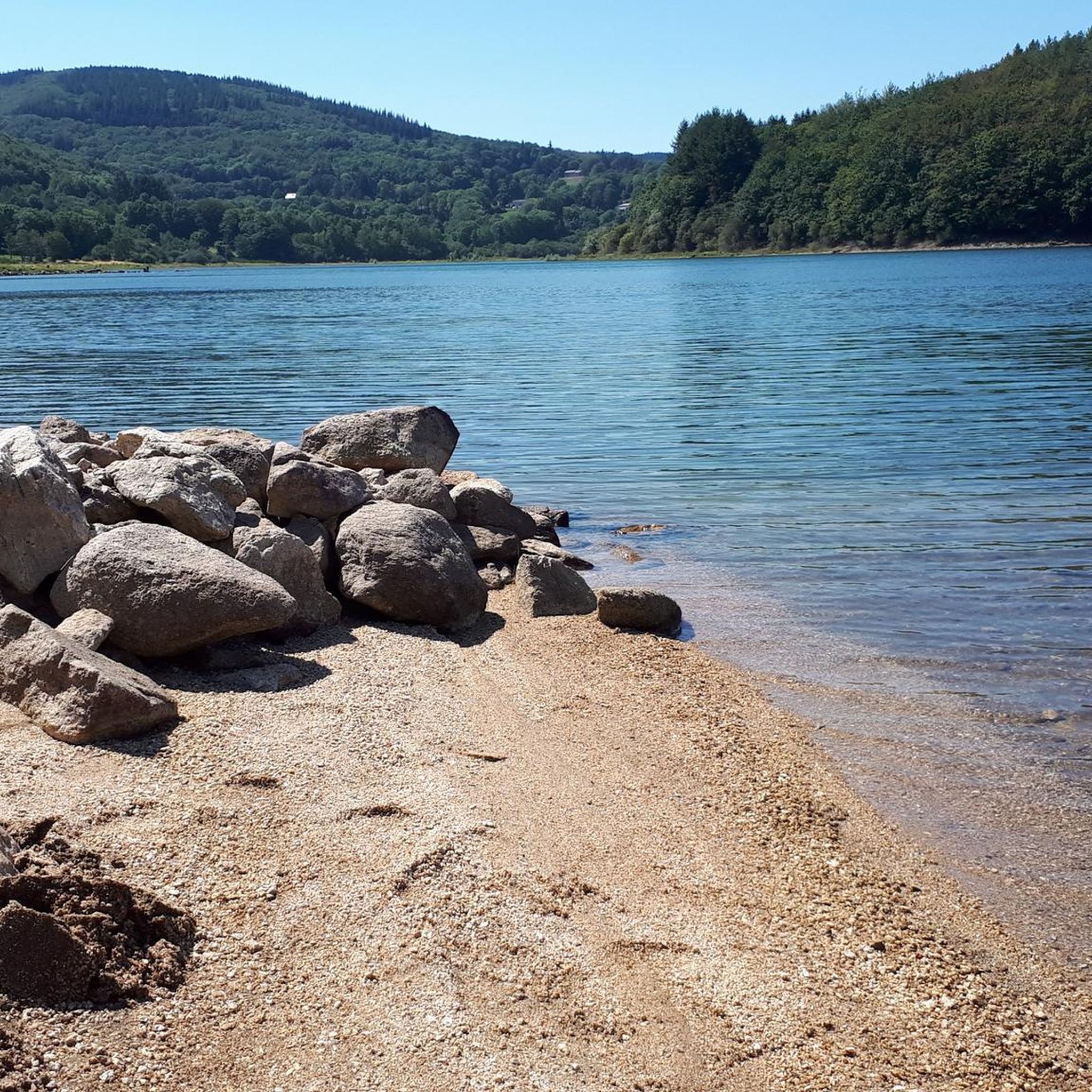
One of the 3 magnificent lakes in the South-East of Tarn. Although artificial, it catches the eye with its wild appearance. Worth seeing on sunny days or to escape the heatwave
0
0
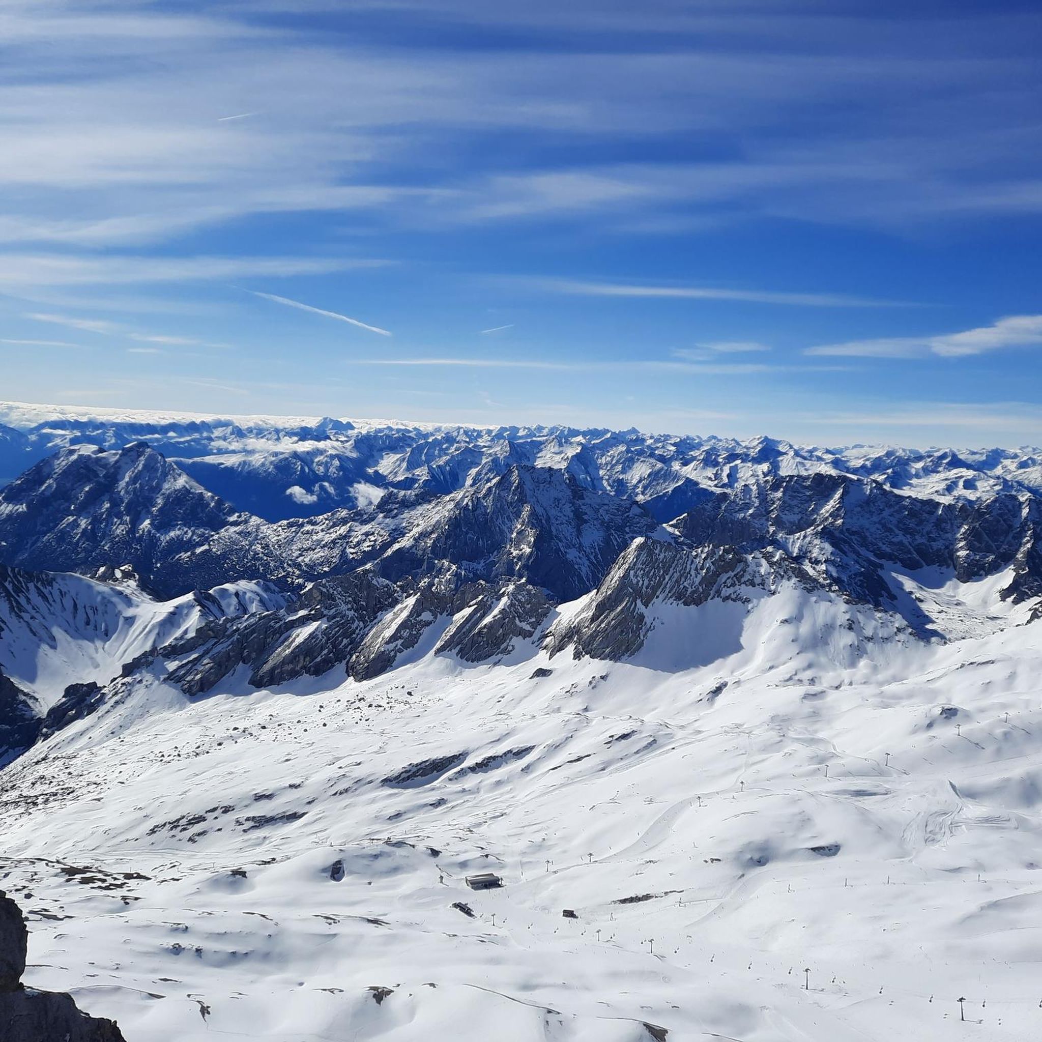
This wide turn reveals a superb panorama of the mountain. In the foreground, the D14 winds up the slope with beautifully drawn switchbacks. Further on, several characteristic reliefs of the Haut-Languedoc stand out, succeeding each other to the horizon. One of the most beautiful panoramas of the ascent!
0
0


Characteristic suspension bridge over the Orb
0
0

A simple chapel of the castle, the building was originally dedicated to Saint Martin. The parish church dedicated to Saint Victor was located on the site of the nearby cemetery. When Nages was captured by Protestant troops in 1586, the church of Saint Victor was destroyed. It was then agreed to enlarge the castle chapel to become the new parish church. In 1761, the church was dedicated to Saint Victor, even though, as the fresco of Saint Martin in the choir recalls, this saint is the church's secondary patron saint. Let's take a closer look: Michaël Greschny painted the church's frescoes in 2005. In the choir, we find Christ in Majesty, surrounded by Mary, Saint John the Baptist, and the patron saints of Nages. In the transept, the proclamation of the Good News is depicted with the four evangelists. At the back of the church, the Last Judgment. - The church is open every day. But the door is a little stuck!
1
0

This tiny village is located on the Santiago trail. Besides the peaceful setting, you might encounter a few pilgrims.
0
0
Frequently Asked Questions
How many road cycling routes are available around Laval-Roquecezière?
There are over 70 road cycling routes around Laval-Roquecezière, offering a wide range of options for different skill levels and preferences.
What kind of terrain can I expect on road cycling routes in Laval-Roquecezière?
The region is characterized by rolling hills and rural roads, often leading past serene lakes and through agricultural areas. You'll encounter varied terrain, including ascents to passes like Fontfroide Pass and descents into valleys, providing diverse challenges.
Are there road cycling routes suitable for beginners in Laval-Roquecezière?
While the majority of routes are moderate to difficult, there is at least one easy road cycling route available. These routes typically feature less elevation gain and shorter distances, making them ideal for those new to road cycling or looking for a relaxed ride.
What options are there for experienced road cyclists seeking a challenge?
For experienced cyclists, Laval-Roquecezière offers numerous challenging routes. There are 45 difficult routes, including the demanding Vision – Fontfroide Pass loop from Lacaune, which covers over 74 miles and features significant elevation changes.
Can I find circular road cycling routes around Laval-Roquecezière?
Yes, many of the road cycling routes in the area are loops. Popular circular routes include the Lacaune and Lake Laouzas Loop and the Saint-Sernin-sur-Rance and Plaisance Loop, allowing you to start and finish at the same point.
What scenic views or points of interest can I discover while road cycling in Laval-Roquecezière?
Road cycling routes often feature views of serene lakes, such as Lake Laouzas. You can also pass by natural landmarks like Roc des Ecus, or explore charming settlements like Lacaune.
Are there any historical sites or villages to visit along the road cycling routes?
Yes, the region is dotted with interesting historical sites and villages. You might cycle past the Combret Medieval Village or through the settlement of Saint-Sernin-sur-Rance, offering opportunities to pause and explore.
What do other road cyclists say about the routes in Laval-Roquecezière?
The road cycling routes in Laval-Roquecezière are highly rated by the komoot community, with an average score of 4.6 stars from more than 10 reviews. Cyclists often praise the varied terrain, the quiet rural roads, and the beautiful lake views.
When is the best time of year to go road cycling in Laval-Roquecezière?
The best time for road cycling in Laval-Roquecezière is typically from spring through early autumn (April to October), when the weather is generally mild and conducive to outdoor activities. Summer offers longer daylight hours, while spring and autumn provide cooler temperatures and vibrant landscapes.
Are there any long-distance road cycling routes for multi-day tours?
While most routes are designed for day trips, some longer options, such as the Vision – Fontfroide Pass loop from Lacaune (over 74 miles), can be incorporated into multi-day itineraries. These longer routes allow for extensive exploration of the region's diverse landscapes.
Which road cycling routes offer views of Lake Laouzas?
Several routes provide stunning views of Lake Laouzas. The Lacaune and Lake Laouzas Loop and the Lac du Laouzas – Lake Laouzas loop from Lacaune are excellent choices for experiencing the lake's serene beauty.
Most popular attractions around Laval-Roquecezière

Get inspired with the komoot mobile app


Explore more
Browse the best Road cycling routes in other regions.
