The best walks and hikes around Laval-Roquecezière
4.5
(45)
270
hikers
25
hikes
Hiking around Laval-Roquecezière offers a diverse landscape characterized by varied topography and natural features. The region features expansive ridgelines, wooded valleys, and distinct red earth formations. Hikers can explore beech forests and follow crystal-clear streams, with views extending across the Monts de Lacaune and the Rance valley. This area provides a range of trails suitable for different experience levels.
Best hiking trails around Laval-Roquecezière
- The most popular hiking route is Hautes-Terres d'Oc Tour: Lacaune and Pic de Montalet Loop,…
Last updated: October 11, 2026
4.4
(8)
52
hikers
18.2km
05:23
520m
520m
Hike the difficult 11.3-mile Hautes-Terres d'Oc Tour: Lacaune and Pic de Montalet Loop for panoramic views from Pic de Montalet.
15
hikers
10.9km
03:22
400m
400m
Moderate hike. Good fitness required. Easily-accessible paths. Suitable for all skill levels.

16
hikers
13.1km
03:55
410m
410m
Moderate hike. Good fitness required. Easily-accessible paths. Suitable for all skill levels.
5.0
(3)
11
hikers
14.5km
04:21
460m
460m
Moderate hike. Good fitness required. Easily-accessible paths. Suitable for all skill levels.
5.0
(3)
11
hikers
16.7km
04:58
500m
500m
Moderate hike. Good fitness required. Easily-accessible paths. Suitable for all skill levels.
Get access to more routes and recommendations from other explorers.
Already have an account?
Our route recommendations are based on thousands of hikes, rides, and runs completed by other people on komoot.
Start today with a free account
Your next adventure awaits.
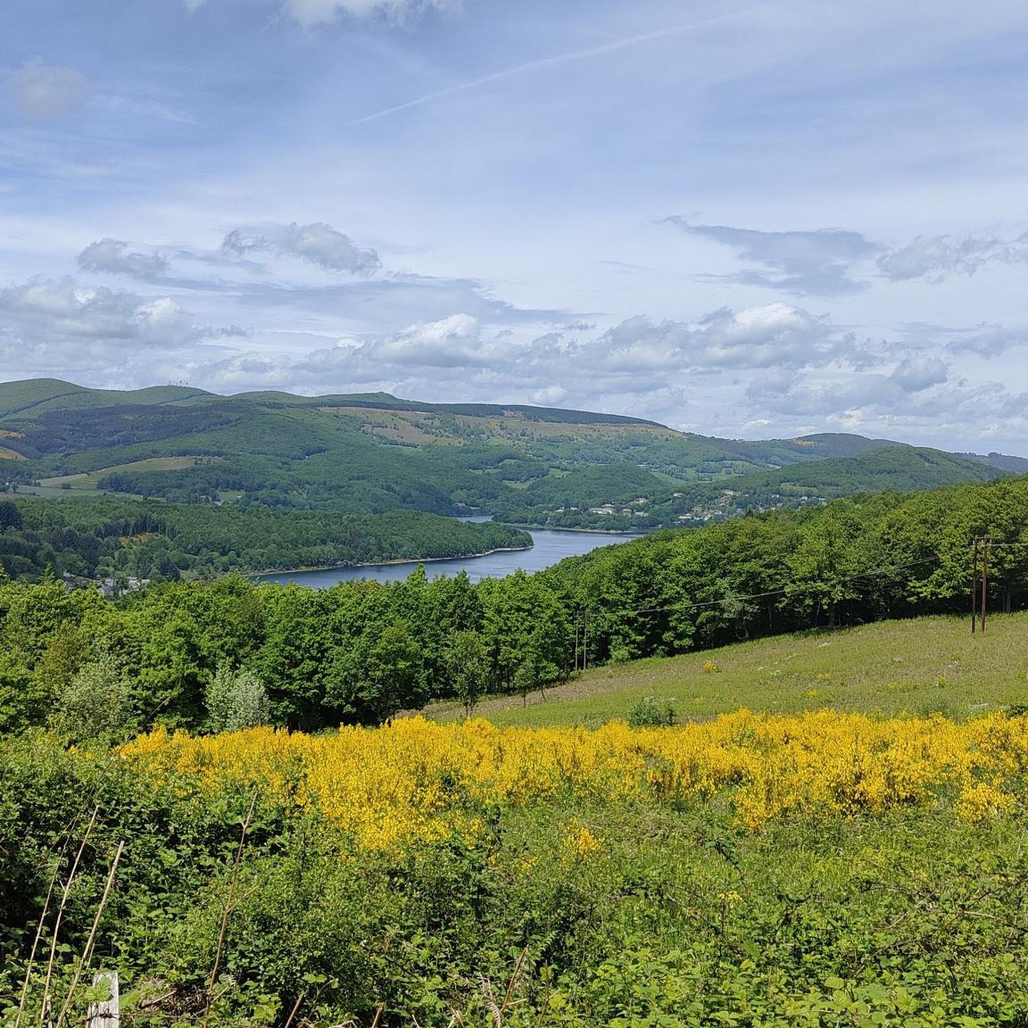
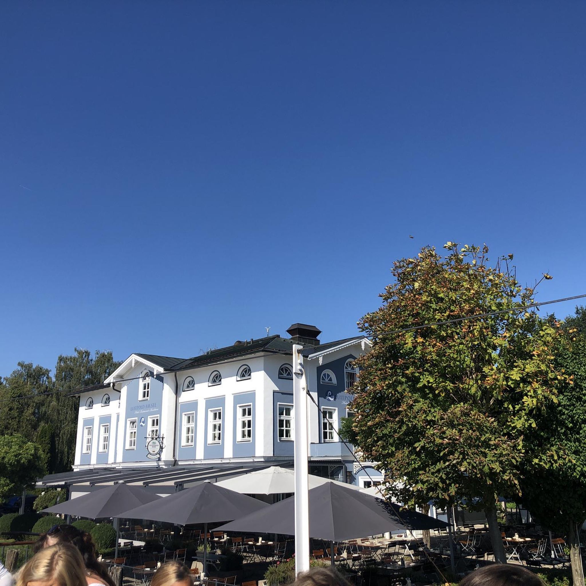
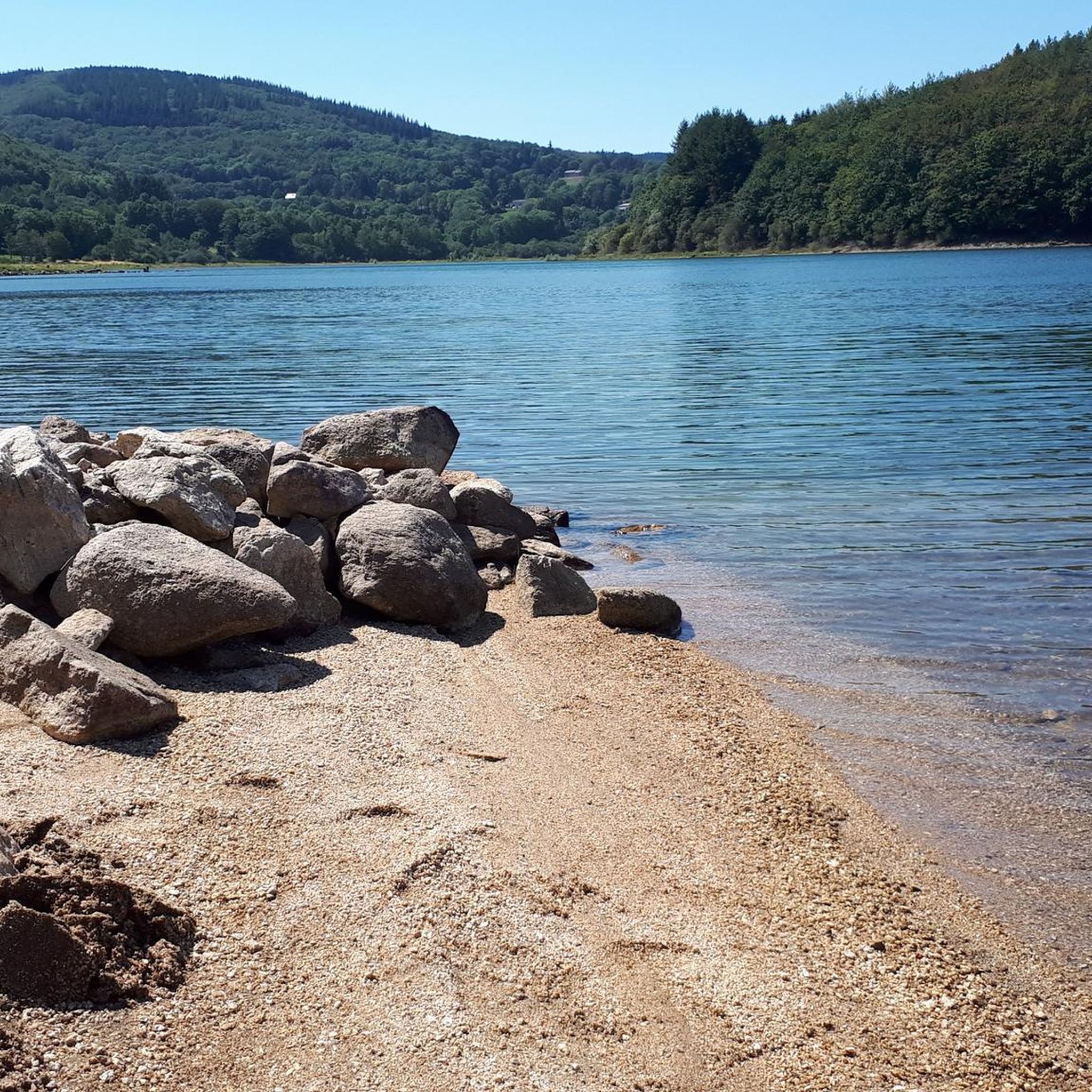
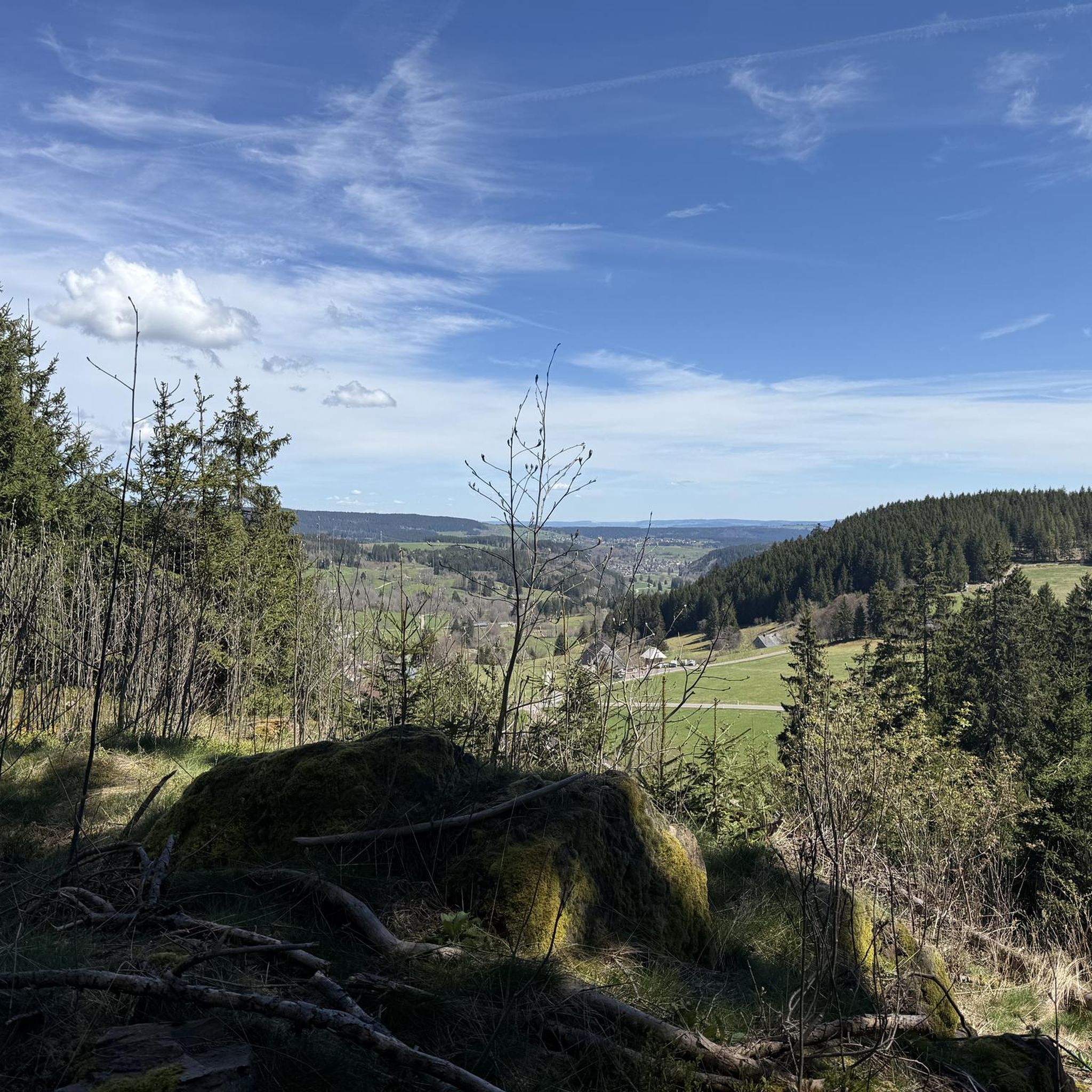
Tips from the Community

The Wild Child: In 1798, in the woods of La Bassine, hunters discovered a child potentially adopted by wolves and raised as one of their own.
0
0

The Roc des Ecus at 1074m offers a magnificent belvedere allowing you to enjoy a beautiful view of Lacaune.
0
0
The Roc des Ecus is not the highest of the peaks but it offers a magnificent belvedere allowing you to enjoy in particular a beautiful view of Lacaune.
0
0
The peak of Montalet, at 1259 meters, is one of the highest peaks of the Tarn (only surpassed by the puech de Montgrand and the puech de Rascas). The view of the south of the Massif Central from the Rocher de la Vierge is magnificent.
1
0

Small city of character built on a particularly narrow rocky outcrop on a meander of the Rance. Pretty red sandstone houses and steep little streets.
1
0

Medieval village which is still quite preserved. For the moment...
0
0
Frequently Asked Questions
What types of landscapes will I encounter while hiking in Laval-Roquecezière?
Laval-Roquecezière offers a diverse landscape characterized by expansive ridgelines, wooded valleys, and the distinct red earth of the Rougier de Camarès. You'll hike through beautiful beech forests, alongside crystal-clear streams like the Ruisseau de Rieufrech, and enjoy panoramic views of the Monts de Lacaune and the meandering Rance valley. A notable natural feature is the 'Roches Fendues' (Split Rocks) along the Sentier des Ayrolles.
How many hiking trails are available in Laval-Roquecezière?
There are over 25 hiking trails in Laval-Roquecezière, catering to various skill levels. This includes 5 easy routes, 19 moderate routes, and 3 more challenging treks for experienced hikers.
Are there any interesting landmarks or historical sites to see along the trails?
Yes, the region is rich in cultural and historical sites. You can visit the Combret Medieval Village, explore the Monastère de Notre-Dame d'Orient, or discover ancient statues-menhirs. The Rocher de la Vierge offers majestic views and is a great spot for birdwatching. You might also encounter the Roc des Ecus, a prominent natural landmark.
What is the best time of year for hiking in Laval-Roquecezière?
The region is enjoyable for hiking throughout much of the year. Mid-August to mid-September is particularly special for observing the impressive aerial ballet of migratory birds from the Rocher de la Vierge as they journey south. Spring and autumn also offer pleasant temperatures and beautiful scenery.
Are there family-friendly hiking trails in Laval-Roquecezière?
Yes, Laval-Roquecezière offers a variety of hiking circuits suitable for all levels, including very easy walks perfect for families. These trails often lead through charming villages and offer gentle terrain, making them ideal for outings with children.
Can I find circular hiking routes in the area?
Many of the trails in Laval-Roquecezière are designed as circular routes, allowing you to start and end at the same point. For example, the Combret Medieval Village loop from Pousthomy is a popular option that takes you through wooded areas and past historical sites.
Are there challenging hikes for experienced trekkers?
Absolutely. For those seeking a challenge, routes like the Hautes-Terres d'Oc Tour: Lacaune and Pic de Montalet Loop offer difficult terrain, significant elevation changes, and expansive panoramic views from higher elevations, typically taking over 5 hours to complete.
What do other hikers enjoy most about hiking in Laval-Roquecezière?
The area is highly rated by the komoot community, with an average score of 4.3 stars from over 30 reviews. Hikers often praise the diverse terrain, from ridgelines with 'imperial panoramas' to tranquil beech forests, and the opportunity to discover picturesque villages and historical sites along the way.
Is there public transport available to reach the hiking trailheads?
While specific public transport options directly to every trailhead might be limited, the region is well-connected by roads. For detailed information on public transport routes and schedules to Laval-Roquecezière, it's advisable to consult local transport authorities or the regional tourism office.
Where can I find parking for hiking trails in Laval-Roquecezière?
Parking is generally available in or near the villages that serve as starting points for many trails, such as Combret or Lacaune. Many hiking circuits are designed to be accessible by car, with designated parking areas often indicated near trailheads or village centers.
Are there any specific trails known for their panoramic views?
Yes, the 'Sentier des Crêtes' (Ridge Trail) is renowned for its expansive 'imperial panoramas' of mountains and valleys, including views of the Monts de Lacaune and the Rance valley. The Hautes-Terres d'Oc Tour: Lacaune and Pic de Montalet Loop also offers superb panoramic vistas from its higher elevations.
Can I bring my dog on the hiking trails in Laval-Roquecezière?
Generally, dogs are welcome on hiking trails in natural areas of France, provided they are kept on a leash and you clean up after them. It's always a good practice to check for specific local regulations or signage at individual trailheads, especially in protected areas.
Most popular attractions around Laval-Roquecezière

Get inspired with the komoot mobile app


Explore more
Browse the best Hikes in other regions.
