The best running trails around Péreyres
4.8
(16)
763
runners
32
runs
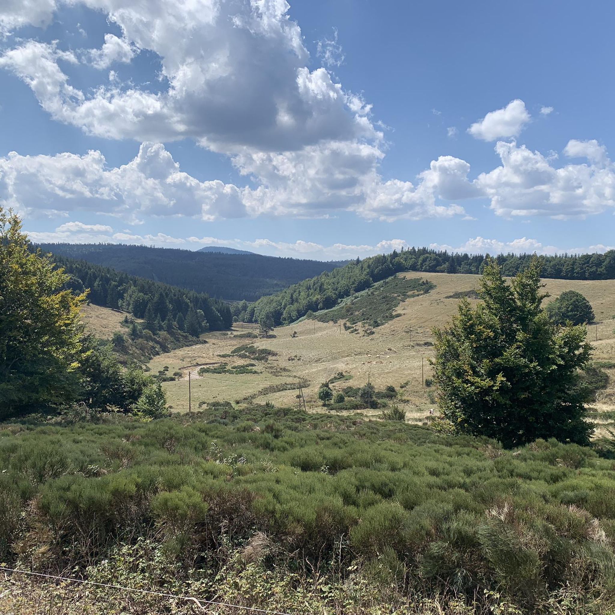
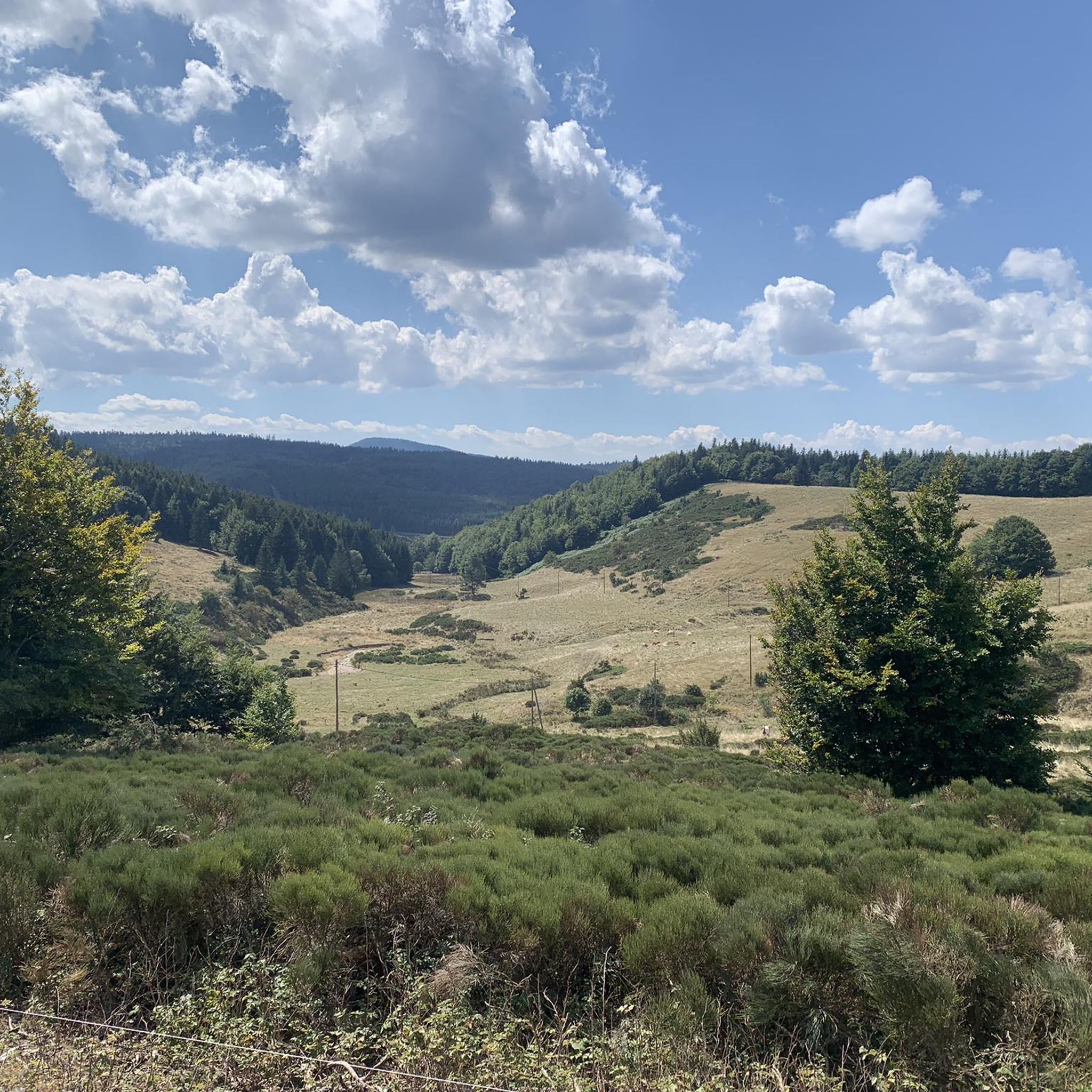
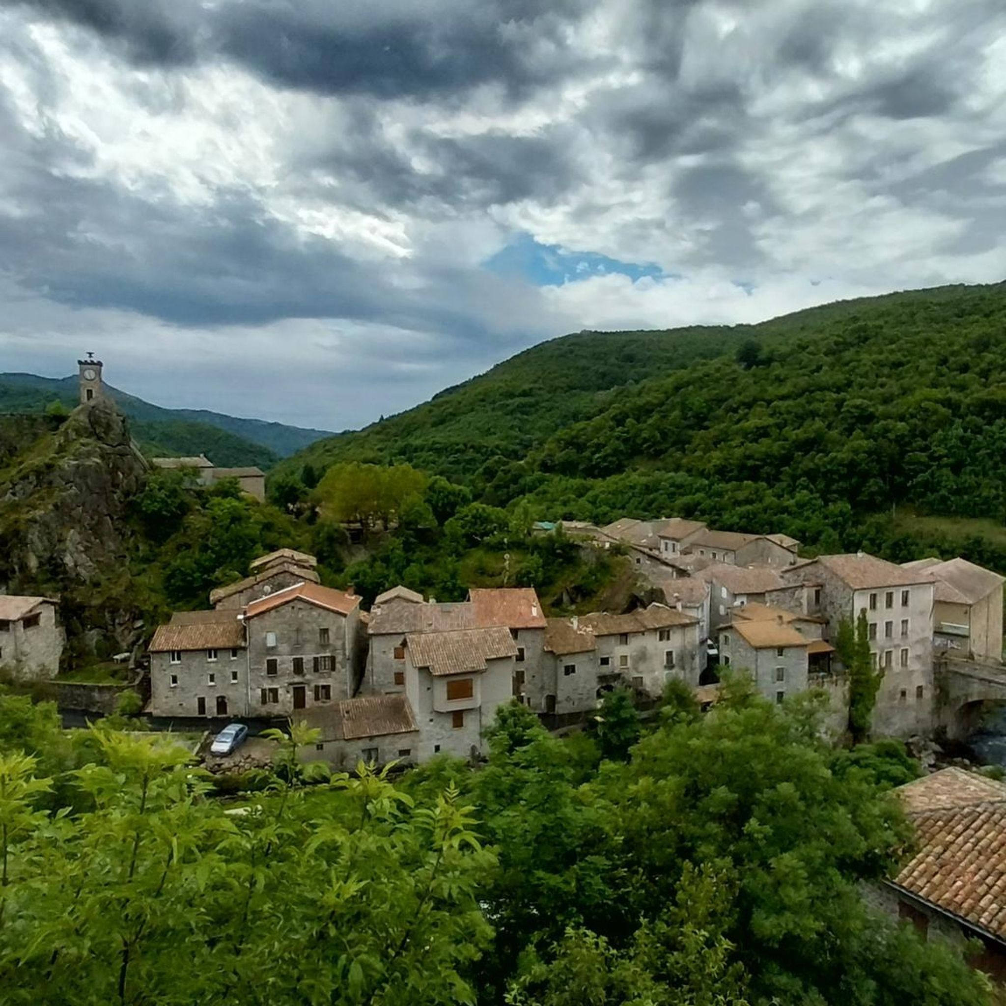
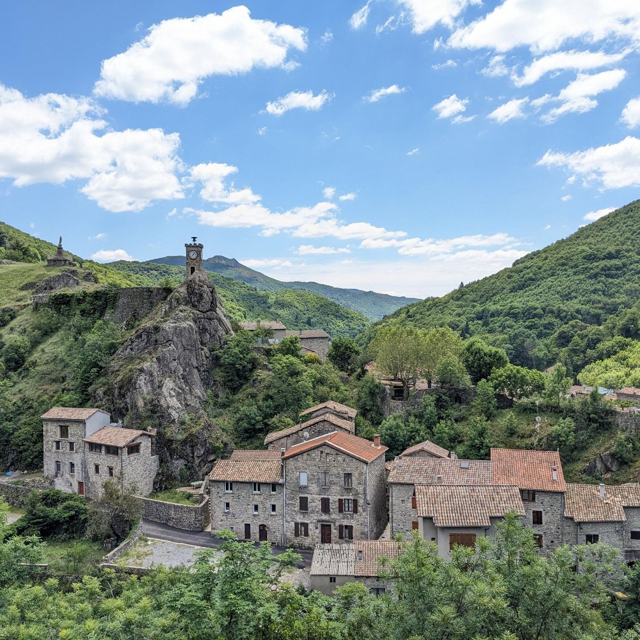
Jogging routes around Péreyres offer an exceptional setting within the Ardèche Mountains, characterized by its unique volcanic terrain and varied elevations. Situated at 850 meters, the village provides access to trails that traverse ancient lava flows and basaltic formations. Runners can explore the Bourges Valley, experiencing a landscape shaped by past volcanic activity, including the notable Ray-Pic waterfall. The region's diverse topography, from woodlands to higher mountain points, presents a range of running challenges.
Best jogging routes around Péreyres
- The…
Last updated: October 16, 2026
5.0
(2)
47
runners
31.4km
04:28
1,430m
1,430m
Hard run. Very good fitness required. Sure-footedness, sturdy shoes and alpine experience required.
5.0
(3)
40
runners
13.7km
02:05
650m
650m
Hard run. Very good fitness required. Sure-footedness, sturdy shoes and alpine experience required.

5.0
(1)
19
runners
20.5km
02:35
490m
490m
Hard run. Very good fitness required. Mostly paved surfaces. Suitable for all skill levels.
5
runners
14.4km
02:06
680m
680m
Hard run. Very good fitness required. Sure-footedness, sturdy shoes and alpine experience required.
5
runners
14.2km
01:50
540m
540m
Hard run. Very good fitness required. Mostly paved surfaces. Suitable for all skill levels.
Get access to more routes and recommendations from other explorers.
Already have an account?
Our route recommendations are based on thousands of hikes, rides, and runs completed by other people on komoot.
Start today with a free account
Your next adventure awaits.
Tips from the Community

Small street, no traffic
0
0
Anyone who wants to stop for a bite to eat should stop here. There are few alternatives. A Grand Café Creme and a generous sandwich for 8 euros.
1
1

The Suc de la Lauzière is an ancient volcano which peaks at an altitude of 1,582 metres. From its summit, you can observe Mont Gerbier de Jonc, well known for providing the source of the Loire.
1
0

The Col de Mézilhac from Le Cheylard is a frequent ascent in the Ardéchoise, a cyclosportive in June. The climb is 22 km long with a total elevation gain of 700 m. The average gradient is 3.18% with maximum gradients of 7.5%.
2
0

Col de Moucheyres from La Bastide-sur-Bésorgues: 4.4Km at 4.5% average
1
0
Frequently Asked Questions
How many running routes are available around Péreyres?
Péreyres offers a diverse selection of over 30 running routes, catering to various preferences. These trails traverse the unique volcanic terrain of the Ardèche Mountains, providing a range of challenges and scenic views.
Are there any easy or beginner-friendly jogging routes in Péreyres?
While Péreyres is known for its challenging terrain, with 23 difficult and 13 moderate routes, there are no routes explicitly classified as 'easy' in the immediate vicinity. Runners new to the area or seeking less technical paths might consider shorter sections of moderate trails or focus on routes with less significant elevation changes, though these will still present some challenge due to the mountainous landscape.
What kind of natural attractions can I expect to see while running in Péreyres?
The region is rich in natural beauty, shaped by its volcanic history. A must-see is the majestic Ray-Pic Waterfall, a classified natural volcanic site where the Bourges River cascades over basaltic formations. You might also encounter other geological marvels like basalt columns and ancient lava flows, as well as panoramic views of the Bourges Valley and the Ardèche Mountains.
Are there any circular running routes around Péreyres?
Yes, many of the running routes around Péreyres are circular, allowing you to start and finish in the same location. For example, the challenging Moucheyres Pass – Col de Moucheyres (858 m) loop from Burzet is a popular option, offering significant elevation changes through mountainous terrain.
What do other runners say about the trails in Péreyres?
The running routes in Péreyres are highly regarded by the komoot community, boasting an average rating of 4.5 stars from over 9 reviews. More than 600 runners have explored these trails, often praising the unique volcanic landscapes, the challenging ascents, and the stunning views of the Bourges Valley.
Can I bring my dog on the jogging routes in Péreyres?
The Ardèche Mountains region is generally very welcoming to dogs on trails, provided they are kept under control, especially in areas with livestock or protected wildlife. It's always advisable to check local signage for specific restrictions, particularly around natural reserves or private land, but most natural paths are suitable for a run with your canine companion.
Are there any running routes suitable for families with children?
Given that all routes are classified as moderate to difficult, families with younger children might find the full routes challenging. However, shorter sections of trails, particularly those leading to accessible viewpoints or natural attractions like the Ray-Pic Waterfall, could be adapted for a family outing. Always assess the difficulty and length carefully before setting out with children.
What is the typical duration for a running route in Péreyres?
The duration varies significantly based on the route's length and difficulty. For instance, a challenging route like the Suc de la Lauzière loop from Sainte-Eulalie, which is 20.5 km, typically takes around 2 hours 35 minutes for a runner. Shorter, moderate routes will naturally take less time.
Are there any notable viewpoints or landmarks along the running trails?
Absolutely. The volcanic landscape provides numerous scenic spots. You can enjoy panoramic views across the volcanic landscape from routes like the Suc de la Lauzière loop from Sainte-Eulalie. Other trails, such as the Rocher de Faux Fay loop from Labastide-sur-Bésorgues, offer stunning vistas of the Bourges Valley.
Is public transport available to access the running routes in Péreyres?
Péreyres is a small village in the heart of the Ardèche Mountains, and public transport options are limited. It is generally recommended to access the running routes by car, as this provides the most flexibility. Parking is usually available in or near the village and at the start points of popular trails.
What is the best time of year to go jogging in Péreyres?
The spring and autumn months are generally ideal for jogging in Péreyres, offering pleasant temperatures and vibrant natural scenery. Summer can be warm, so early morning or late afternoon runs are preferable. Winter jogging is possible, but be prepared for colder temperatures and potentially snowy or icy conditions at higher elevations, as the village is at 850 meters and the culminating point is 1412 meters.
Are there any facilities like cafes or restaurants near the running trails?
Péreyres is a charming, small village, and while it may have some local amenities, options for cafes and restaurants directly on the trails are limited. It's best to plan your refreshments and meals in the village itself before or after your run. Consider carrying sufficient water and snacks, especially for longer routes.
Most popular attractions around Péreyres

Get inspired with the komoot mobile app


Explore more
Browse the best Running Trails & Routes in other regions.
