The best road cycling routes around Péreyres
4.4
(42)
953
riders
42
rides
Road cycling routes around Péreyres are situated in the heart of the Ardèche region, characterized by diverse landscapes shaped by ancient volcanic activity. The terrain features basalt flows, volcanic ridges, and the Bourges valley, offering varied elevations for road cyclists. Routes often traverse wooded landscapes and provide panoramic views, with many featuring mostly paved surfaces.
Best road cycling routes around Péreyres
- The most popular road cycling route is Col de Moucheyres from Burzet — Parc naturel régional des Monts d'Ardèche…
Last updated: August 25, 2026
5.0
(6)
30
riders
30.3km
01:49
790m
790m
Moderate road ride. Good fitness required. Mostly well-paved surfaces and easy to ride.
5.0
(2)
88
riders
58.6km
03:13
1,240m
1,240m
Hard road ride. Very good fitness required. Mostly well-paved surfaces and easy to ride.

Sign up for free
5.0
(2)
71
riders
73.0km
04:05
1,630m
1,630m
Hard road ride. Very good fitness required. Some segments of this route may be unpaved and difficult to ride.
2.5
(2)
55
riders
67.9km
03:33
1,230m
1,230m
Hard road ride. Very good fitness required. Mostly well-paved surfaces and easy to ride.
4.5
(2)
21
riders
55.8km
03:15
1,370m
1,370m
Hard road ride. Very good fitness required. Mostly well-paved surfaces and easy to ride.
Get access to more routes and recommendations from other explorers.
Sign up for free
Already have an account?
Our route recommendations are based on thousands of hikes, rides, and runs completed by other people on komoot.
Start today with a free account
Your next adventure awaits.
Login or Signup
Tips from the Community

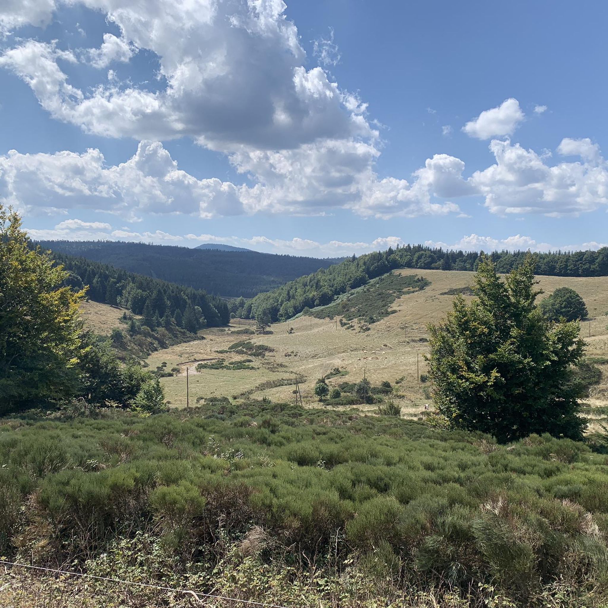
Col du Montivernoux 1320m. Suc de Montivernoux The legend tells that there were once three very pious shepherds from the same family. One lived in Soutron, the other in Lachamp-Raphaël, and the last in Saint-Andéol-de-Fourchades. They communicated using fires lit during the night. One night, there was no fire in Soutron. The next day, the shepherd was found dead on the rock. To celebrate his exemplary life, the inhabitants of the region built a small chapel on the rock. https://lachamp-raphael.fr/histoire-et-patrimoine/suc-de-montivernoux/
0
0
Located at an altitude of 1,330 meters, Lachamp-Raphaël is the highest village in the Ardèche. Dominated by the Montivernoux peak, the village offers exceptional panoramic views of the Alps and the Ardèche mountains. https://lachamp-raphael.fr/
0
0

Small street, no traffic
0
0
Anyone who wants to stop for a bite to eat should stop here. There are few alternatives. A Grand Café Creme and a generous sandwich for 8 euros.
1
1
In the eastern foothills of the Massif Central, in a harsh climate, at an altitude of 1,380 meters, this former 17th-century farmhouse, built like a fortress in the heart of a windswept plateau, is now a must-see attraction located 3 kilometers from Mont Gerbier-de-Jonc. You'll admire its typical architecture, its 900 m² of phonolite slate roof (local volcanic slabs), its upside-down ship-shaped framework, and its impressive volumes (50 meters long and 10 meters wide). https://www.bourlatier.fr/FR/home.html
1
0

Cafe de la Place has good coffee and just down the main street on the left is a good Boulangerie.
0
0

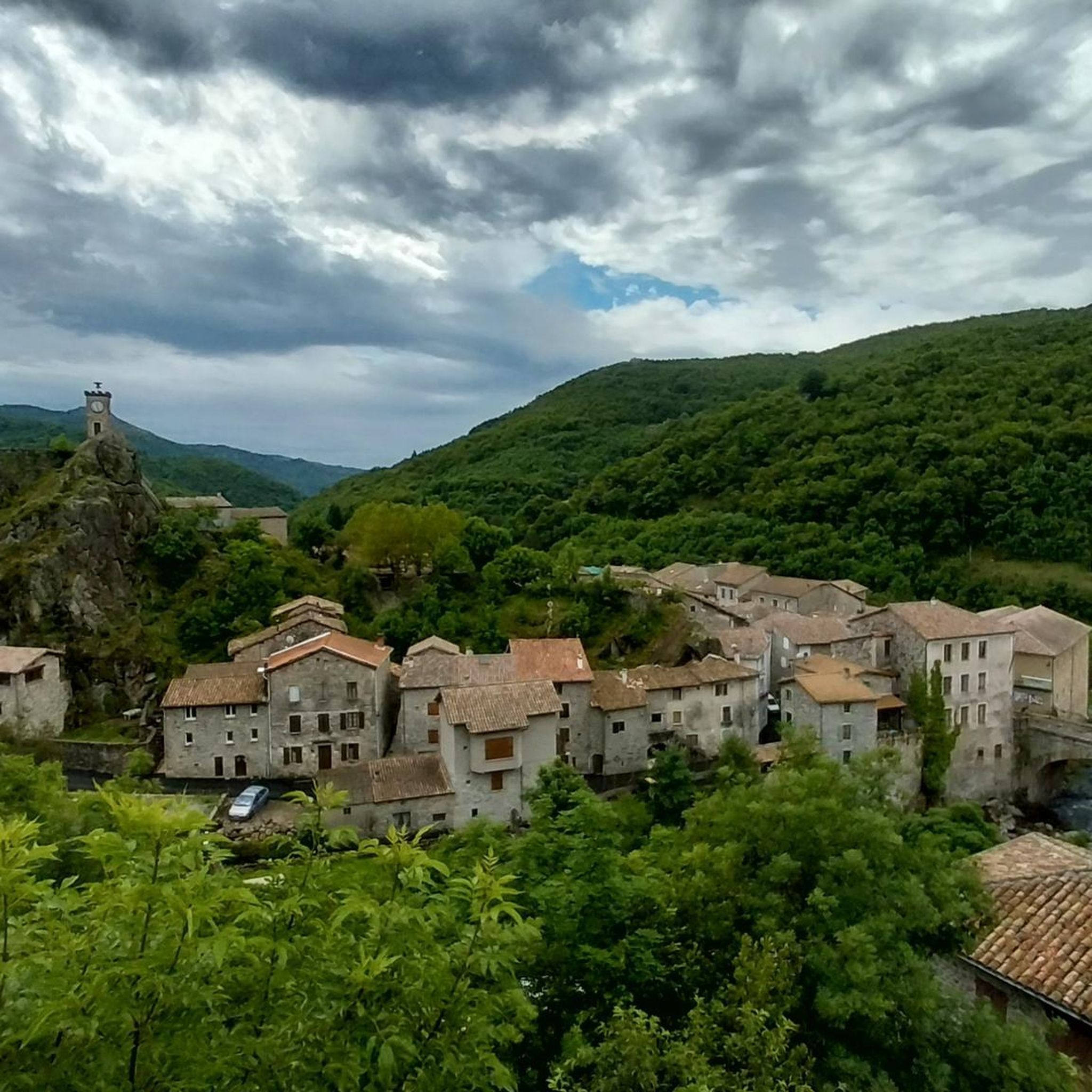
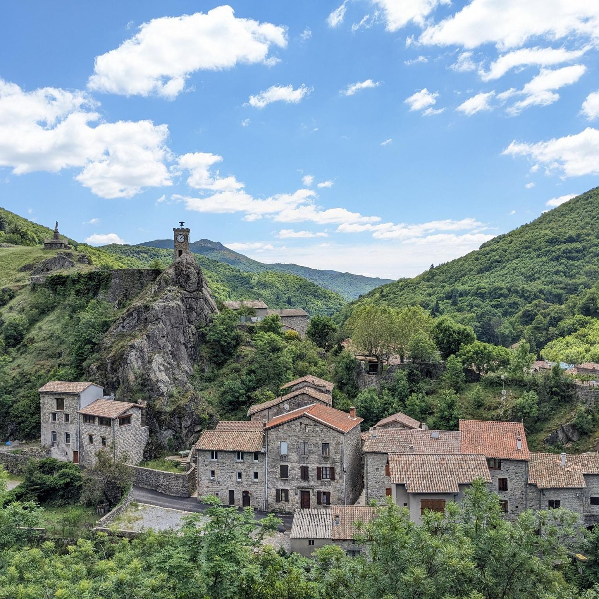
L'Atelier du bijou, where Charles Murat built his first factory in 1868, is worth a visit. This industrial heritage building of Les Boutières, a real place of transmission of knowledge and know-how, now houses a visitor area and a business incubator in the heart of the village (https://www.ardeche-hautes-vallees. fr/cultural-heritage/latelier-du-bijou/).
1
0
Frequently Asked Questions
How many road cycling routes are available around Péreyres?
There are over 40 road cycling routes around Péreyres, catering to various skill levels. You'll find 2 easy routes, 18 moderate routes, and 21 difficult routes, offering a wide range of options for your ride.
What are some of the most challenging road cycling routes near Péreyres?
For experienced cyclists seeking a challenge, routes like the Lachamp-Raphaël – Col de Mézilhac (1,119 m) loop from Lachamp-Raphaël (58.8 km) or the Col de Mézilhac (1,119 m) – Col du Gerbier de Jonc loop from Lachamp-Raphaël (72.7 km) offer significant elevation gains and demanding climbs through volcanic terrains and high mountain passes.
Are there any easy or beginner-friendly road cycling routes in Péreyres?
Yes, Péreyres offers a few easier routes suitable for beginners or those looking for a more relaxed ride. While specific easy routes are available, the region's diverse terrain means even moderate routes can be approached at a comfortable pace. You can find 2 easy routes listed in the area.
What natural attractions can I see along the road cycling routes in Péreyres?
The region around Péreyres is rich in natural beauty. Cyclists can encounter volcanic features, the scenic Bourges valley, and wooded landscapes. A notable attraction is the majestic Ray-Pic Waterfall, a spectacular volcanic site where the Bourges river dramatically falls from basalt flows. You might also pass by Mount Gerbier de Jonc or Col de Mézilhac (1,119 m).
What is the best time of year for road cycling in Péreyres?
The Ardèche region, including Péreyres, is generally pleasant for road cycling from spring through autumn. Spring offers lush greenery and moderate temperatures, while autumn provides beautiful foliage. Summer can be warm, but higher elevations offer cooler air. It's always advisable to check local weather conditions before planning your ride.
Are there circular road cycling routes available around Péreyres?
Yes, many of the road cycling routes around Péreyres are designed as loops, allowing you to start and finish in the same location. Examples include the Lachamp-Raphaël – Col de Mézilhac (1,119 m) loop and the Col du Gerbier de Jonc – Col de Mézilhac (1,119 m) loop, which offer comprehensive tours of the area's landscapes.
What do other road cyclists say about the routes in Péreyres?
The road cycling routes in Péreyres are highly rated by the komoot community, with an average score of 4.5 stars from over 30 reviews. Cyclists often praise the diverse terrain, the stunning volcanic landscapes, and the well-maintained paved surfaces that make for a smooth and enjoyable ride.
Can I find cafes or accommodation suitable for cyclists in Péreyres?
The Ardèche department is well-regarded for cycling tourism. While specific 'Accueil Vélo' labeled establishments in Péreyres itself would require local inquiry, the broader region offers various cafes, pubs, and accommodations that cater to cyclists. It's recommended to check local listings or tourism resources like Berg & Coiron Tourisme for options.
What kind of landscapes will I encounter while road cycling around Péreyres?
Road cycling around Péreyres offers a journey through diverse landscapes shaped by ancient volcanic activity. You'll experience basalt flows, dramatic volcanic ridges, and panoramic views of the Bourges valley. Routes often traverse wooded areas, providing a mix of challenging climbs and scenic descents.
Is public transport available to access road cycling trails in Péreyres, especially with bikes?
While Péreyres is nestled in a natural setting, public transport options directly to trailheads with bike carriage might be limited. It's best to check regional bus services or consider driving to a starting point with ample parking. For detailed information on public transport with bikes in the Ardèche, consulting local tourism offices is recommended.
Are there any permits required for road cycling in the Ardèche region?
Generally, no specific permits are required for road cycling on public roads and designated cycling paths in the Ardèche region. However, always respect local regulations, especially when cycling through protected natural areas or private land. There are no indications of special permits needed for the routes listed.
Where can I find parking for road cycling routes near Péreyres?
Many road cycling routes in the Péreyres area start from villages or towns that offer public parking. For instance, routes like Col de Moucheyres from Burzet or those originating from Lachamp-Raphaël would typically have parking available in those respective starting points. It's advisable to check specific route details for recommended parking locations.
Most popular attractions around Péreyres

Get inspired with the komoot mobile app


Explore more
Browse the best Road cycling routes in other regions.
