The best running trails around Tambach Dietharz
4.3
(26)
874
runners
66
runs
Jogging routes around Tambach-Dietharz are set within the Thuringian Forest, a region characterized by dense woodlands, rolling hills, and clear streams. The area's elevation ranges from 420 to 883 meters, providing varied terrain for running. Notable features include the seven surrounding valleys and two prominent dams, the Old Tambach Dam and the Schmalwasser Dam, which offer scenic paths around their reservoirs.
Best jogging routes around Tambach Dietharz
- The most popular jogging route is Gustav-Freytag-Stein Shelter – Wachsenrasen Stone Shelter loop…
Last updated: July 1, 2026
114
runners
Hard run. Very good fitness required. Mostly paved surfaces. Suitable for all skill levels.
5.0
(2)
40
runners
Hard run. Very good fitness required. Mostly paved surfaces. Suitable for all skill levels.

Sign up for free
5.0
(1)
143
runners
Hard run. Very good fitness required. Mostly paved surfaces. Suitable for all skill levels.
4.3
(6)
39
runners
Moderate run. Good fitness required. Mostly paved surfaces. Suitable for all skill levels.
4.3
(6)
35
runners
Moderate run. Good fitness required. Mostly paved surfaces. Suitable for all skill levels.
Get access to more routes and recommendations from other explorers.
Sign up for free
Already have an account?
Our route recommendations are based on thousands of hikes, rides, and runs completed by other people on komoot.
Start today with a free account
Your next adventure awaits.
Login or Signup
Popular around Tambach-Dietharz
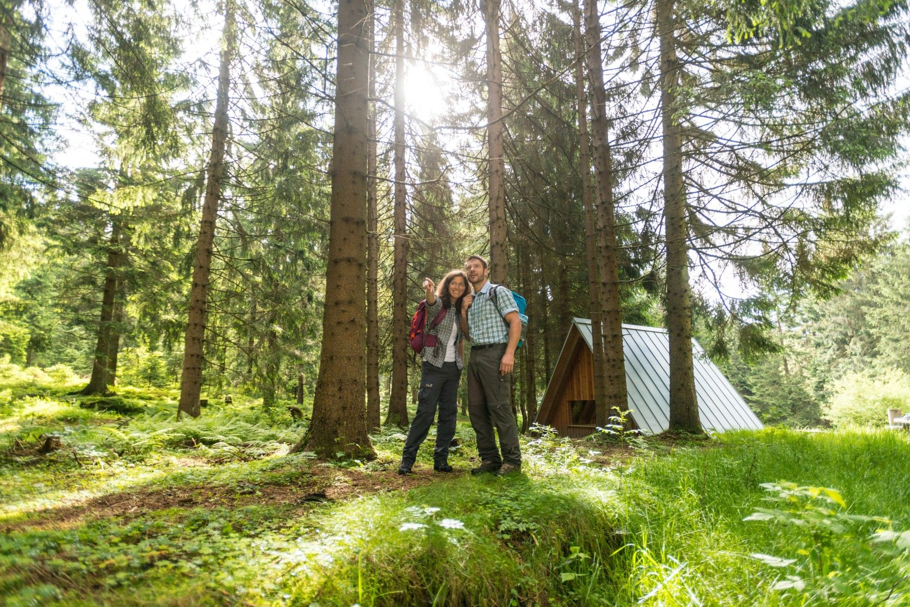
The Rennsteig — Thuringia's most beautiful hiking route

Forest, vastness and water – day trips in the Thuringian Forest

Long distance hiking trails in the Thuringian Forest
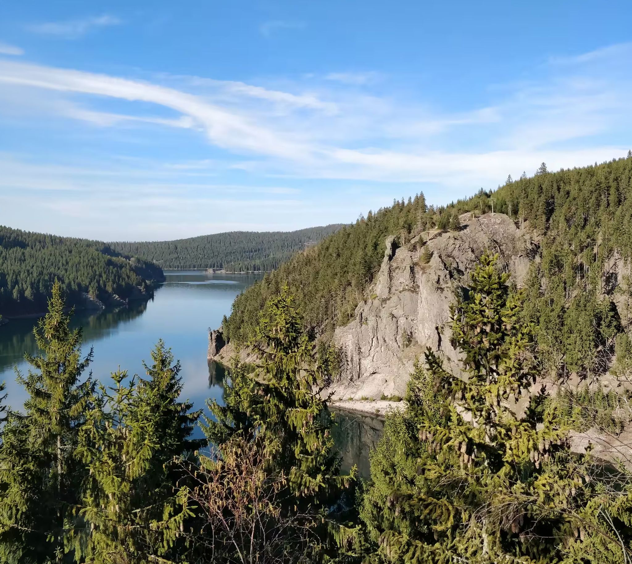
Zwischen Rennsteig und Talsperren – Mikroabenteuer im Thüringer Wald
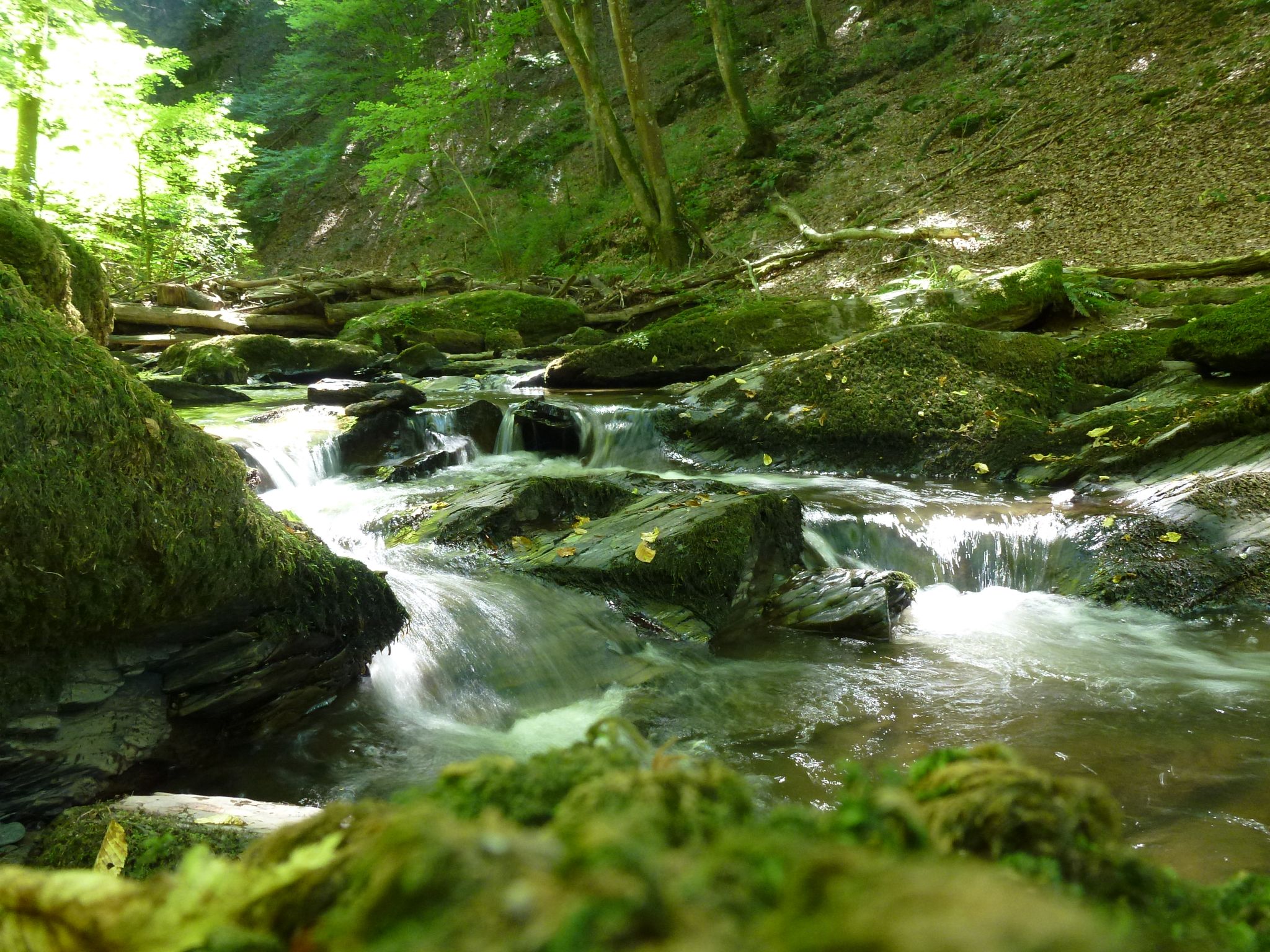
Die Magie von Klammen und Schluchten im Herzen Deutschlands
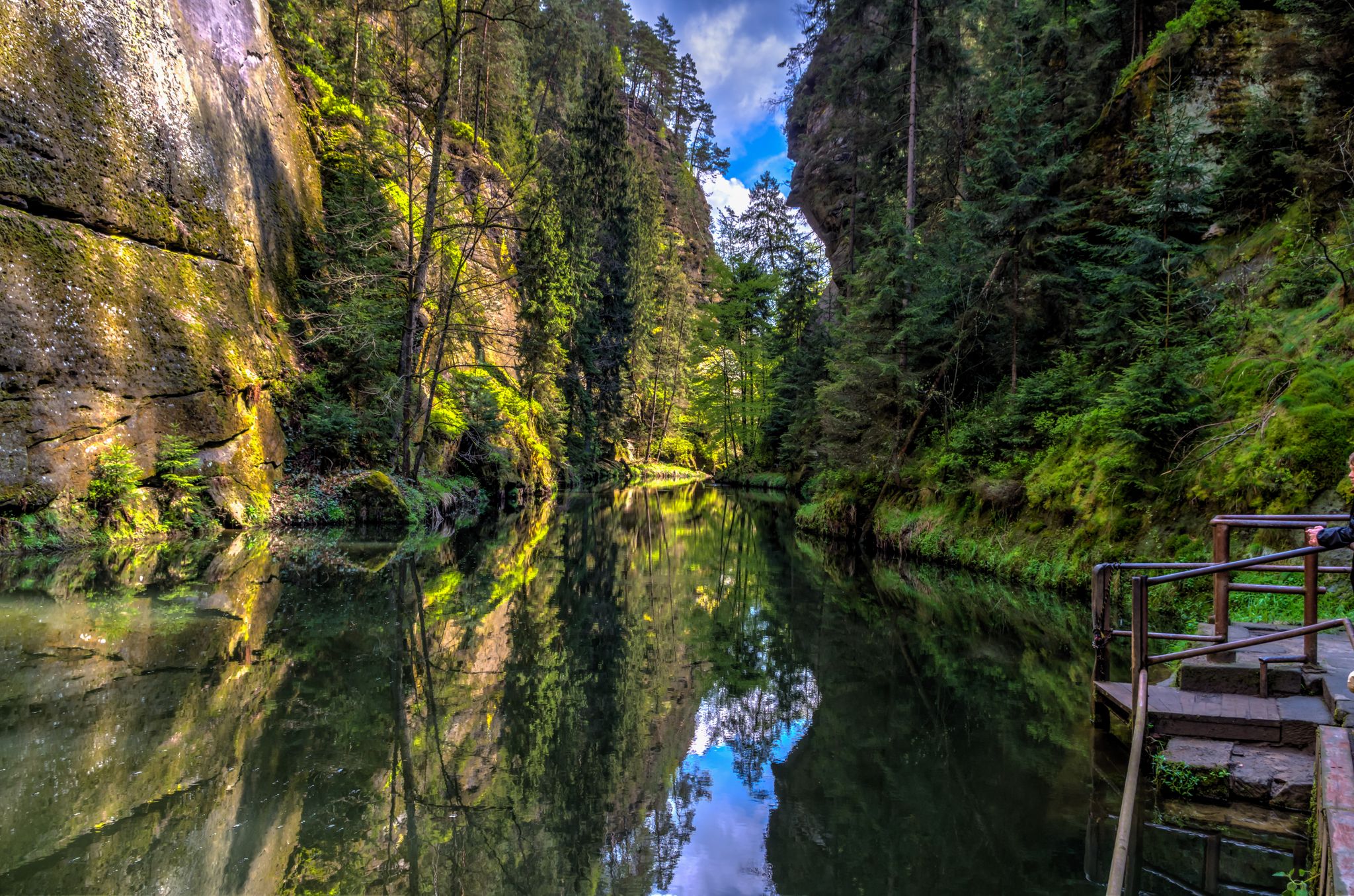
Die Magie von Klammen im Osten Deutschlands
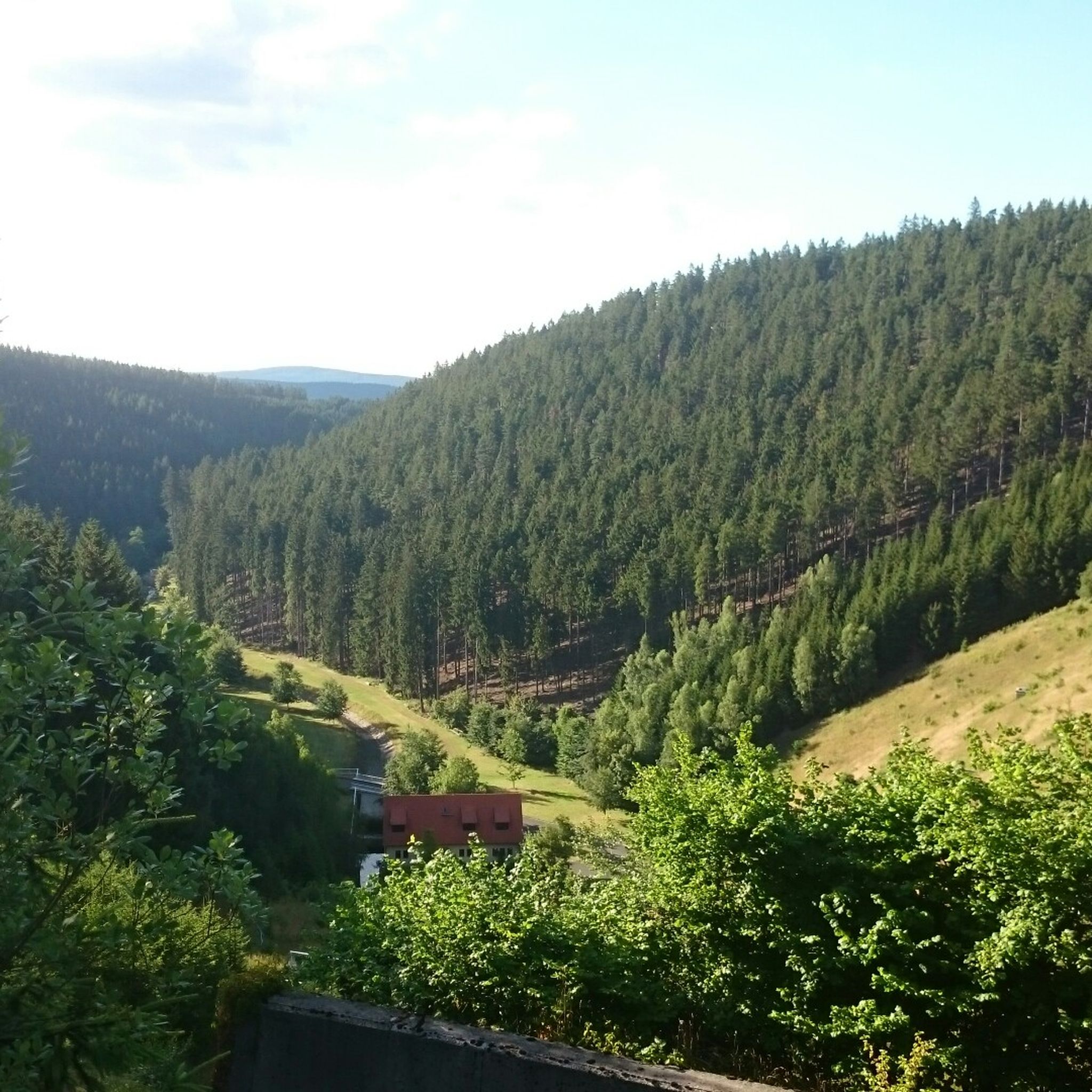
Hiking around Tambach Dietharz
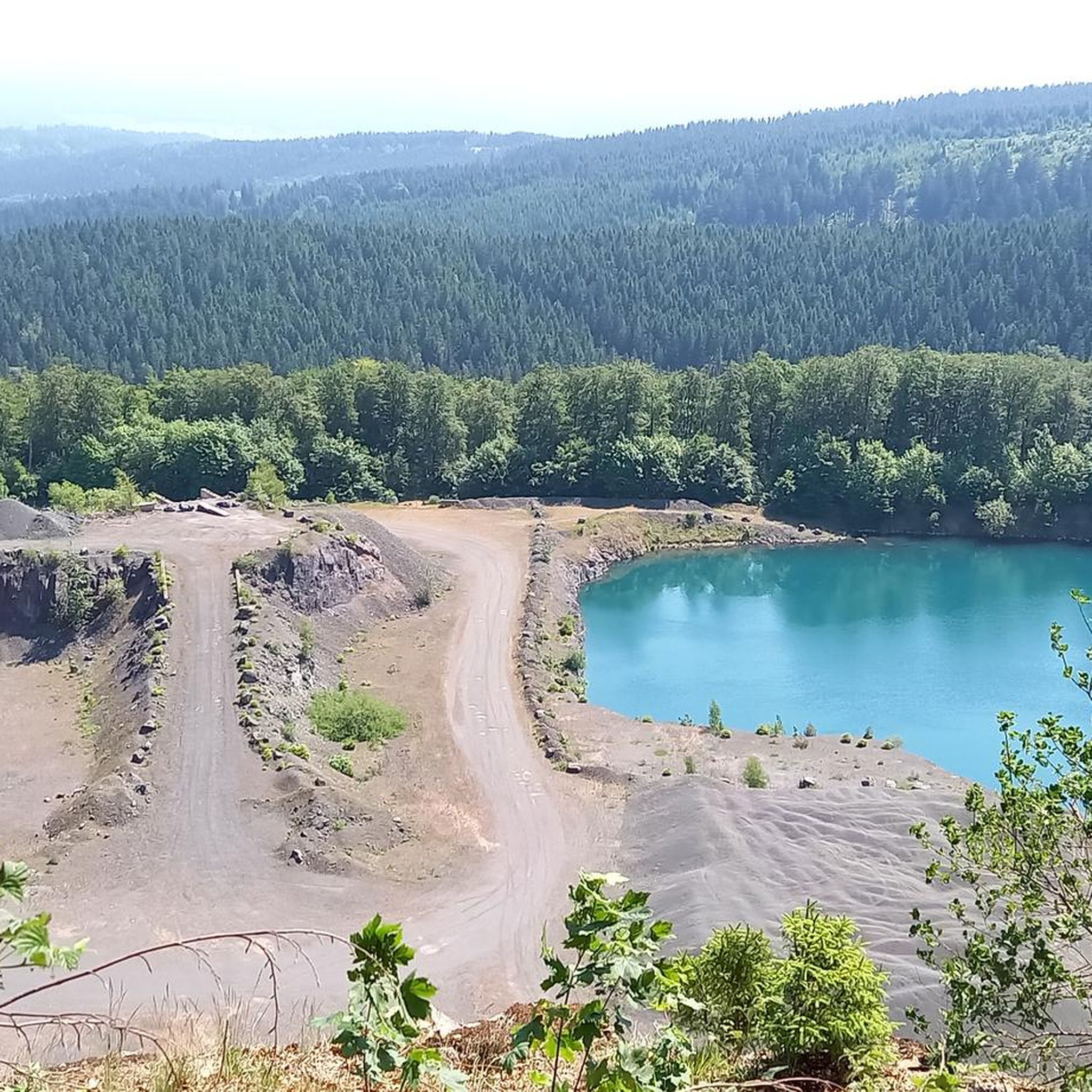
Cycling around Tambach Dietharz
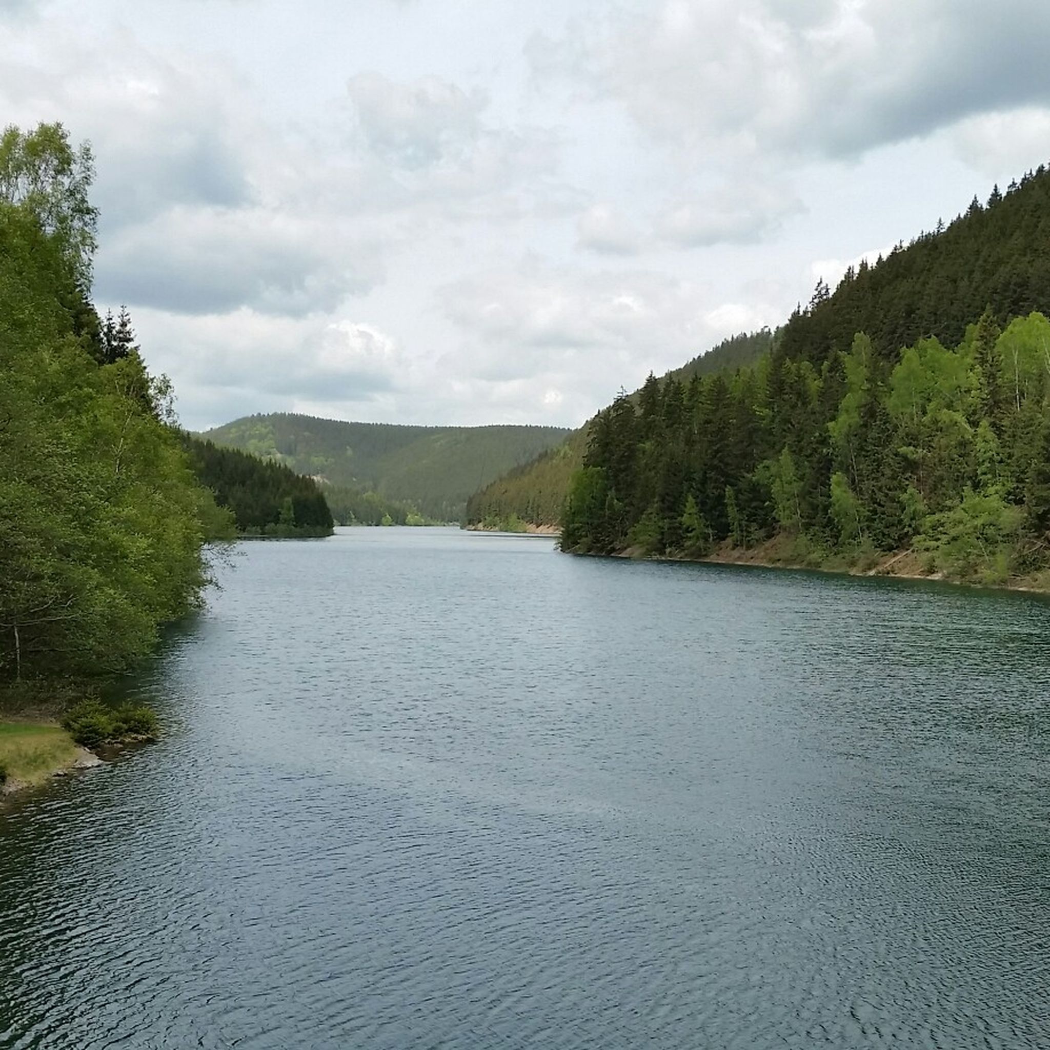
MTB Trails around Tambach Dietharz

Gravel biking around Tambach Dietharz
Other adventures around Tambach Dietharz


Tips from the Community

There are many beautiful paths to discover here.
0
0

Small church directly on the circular path
0
0

Great hike, beautiful little church 😊
0
0


The Krämerod observation tower is located directly on the Rennsteig trail and offers impressive views over the Thuringian Forest. Although the view may be partially obscured by fast-growing spruce trees, the panoramic view remains worth seeing.
0
0

You can find it on the way to Ebertswiese.
16
0
Frequently Asked Questions
How many running trails are available in Tambach-Dietharz?
There are 67 dedicated running routes listed on komoot for Tambach-Dietharz. The wider area, nestled in the Thuringian Forest, offers an extensive network of over 200 km of well-signposted trails, many of which are ideal for jogging.
What do other runners enjoy most about jogging in Tambach-Dietharz?
The running routes in Tambach-Dietharz are highly rated by the komoot community, with an average score of 4.4 stars. Runners often praise the pristine natural beauty, the tranquil forest settings, and the excellent air quality that makes for an invigorating experience.
Are there many circular running routes in Tambach-Dietharz?
Yes, many of the trails in Tambach-Dietharz are circular, offering varied loops through the scenic Thuringian Forest. For example, the Steinerne Loch Viewpoint – Tambach-Dietharz Reservoir Inflow loop is a popular moderate 7.6 km option, and the View of the Schmalwasser Dam – Schmalwasser Dam loop offers a more challenging 16.7 km circuit around the reservoir.
Are there any easy running routes suitable for beginners or families?
While many routes are moderate to difficult, there are easier sections within the extensive trail network. The region's 'Terrainkurwege' routes are designed for gentle activity. Look for paths with less elevation gain, often found around the dams or within the valleys, which can be more suitable for a relaxed jog or a family outing.
What kind of terrain can I expect on the jogging routes around Tambach-Dietharz?
You can expect a diverse range of terrain. Routes often feature predominantly paved paths for easier runs, but also more challenging trails with significant elevation changes through dense forests and rolling hills. The area's elevation ranges from 420 to 883 meters, providing options for all fitness levels.
Are there any running routes that pass by waterfalls or other natural landmarks?
Absolutely! The region is known for its natural beauty. You can find routes that lead to the Spitterfall, Thuringia's highest natural waterfall, or explore the mystical Schmalwasserfall. The View of the Schmalwasser Dam – Schmalwasser Dam loop offers scenic views of the dam and its surroundings.
Can I bring my dog on the running trails in Tambach-Dietharz?
Many trails in the Thuringian Forest are dog-friendly, making it a great place to run with your canine companion. However, it's always advisable to keep dogs on a leash, especially in nature reserves or near wildlife, and to respect local regulations. Ensure your dog is well-behaved and that you clean up after them.
Are there any long-distance running options in the area?
Yes, Tambach-Dietharz is located near the Rennsteig, one of Germany's most famous long-distance hiking trails. This offers kilometer-long routes for experienced runners. For example, the Gustav-Freytag-Stein Shelter – Wachsenrasen Stone Shelter loop is a challenging 20.7 km route, and the View from Spießbergturm – Alte Ausspanne Shelter loop extends to 22.4 km.
What are some challenging running routes for experienced runners?
For experienced runners seeking a challenge, routes with significant elevation changes and longer distances are available. The Wachsenrasen Stone Shelter – Neuhöfer Wiese Shelter loop is a difficult 29.1 km route, and the Gustav-Freytag-Stein Shelter – Wachsenrasen Stone Shelter loop covers 20.7 km through varied forest terrain.
Are there any viewpoints along the running routes in Tambach-Dietharz?
Yes, the region offers several viewpoints providing breathtaking panoramic views. The Steinerne Loch Viewpoint – Tambach-Dietharz Reservoir Inflow loop passes by a notable viewpoint. The proximity to Großer Inselsberg also means many trails offer stunning vistas of the Thuringian Forest.
Is Tambach-Dietharz well-connected by public transport for accessing running trails?
Tambach-Dietharz is generally accessible, but specific public transport connections to trailheads might vary. It's recommended to check local bus schedules if you plan to rely on public transport to reach the starting points of your chosen running routes.
Are there parking facilities available near the running trailheads?
Yes, parking facilities are typically available in and around Tambach-Dietharz, especially near popular trailheads and attractions. Many routes start directly from the town or from designated parking areas within the forest, making it convenient for runners arriving by car.
Most popular routes around Tambach Dietharz
Most popular attractions around Tambach Dietharz

Get inspired with the komoot mobile app


Explore more
Browse the best Running Trails & Routes in other regions.
