The best mountain hikes around Tambach Dietharz
4.8
(6)
50
hikers
8
hikes
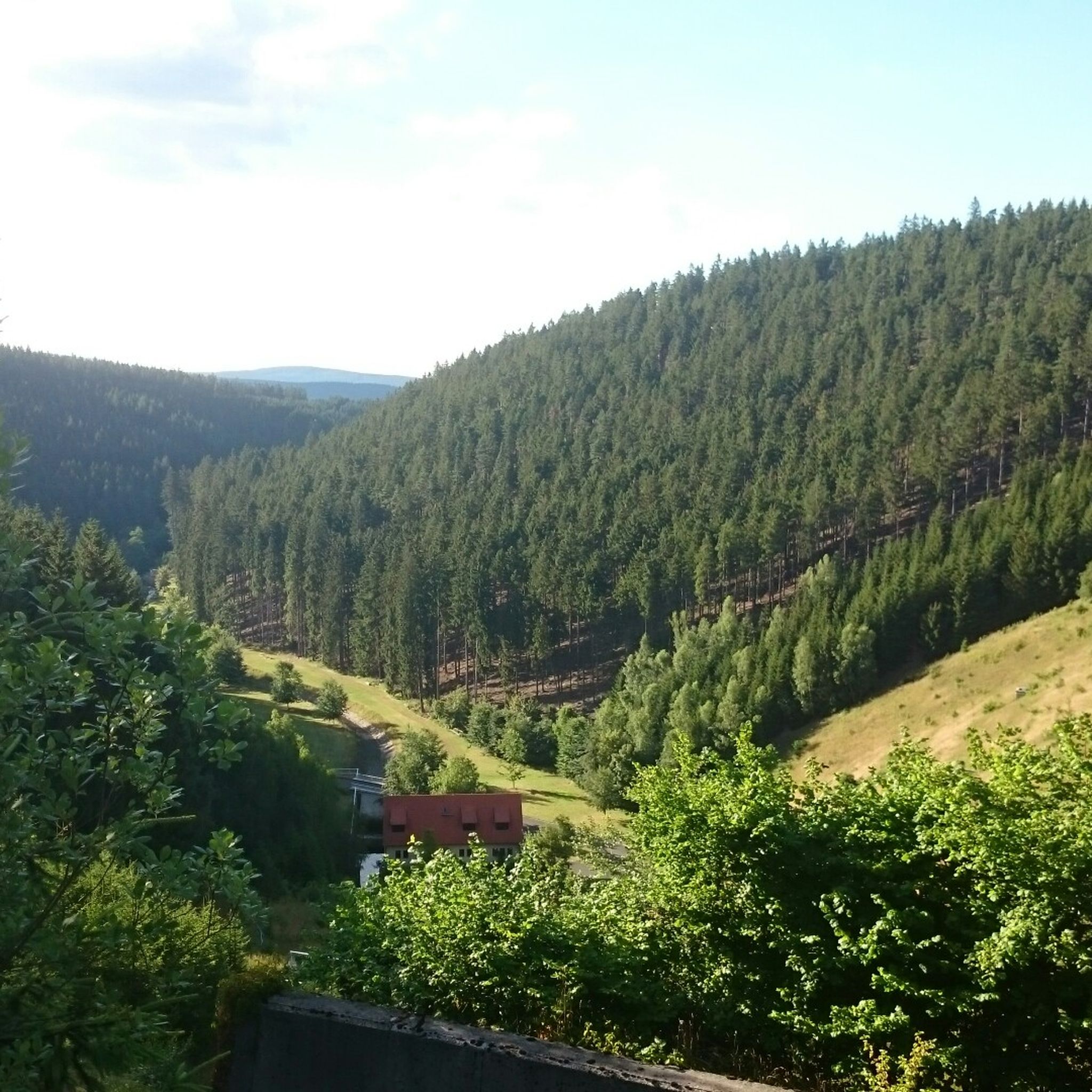
Mountaineering routes around Tambach Dietharz are set within the Thuringian Forest, characterized by dense woodlands, picturesque valleys, and significant rock formations. The region features prominent porphyry rock faces like Falkenstein and the Red Tower, offering diverse climbing experiences. These natural features, alongside the Großer Inselsberg and scenic valleys, define the terrain for outdoor activities.
Best mountaineering routes around Tambach Dietharz
- The most popular mountaineering route is Torstein Rock Arch – Red Tower loop from Bad Tabarz, a 5.3 miles…
Last updated: July 4, 2026
4.8
(6)
31
hikers
8.59km
02:53
330m
330m
Moderate mountaineering route. Good fitness required. Mostly accessible paths. Sure-footedness required.
11
hikers
6.47km
01:52
160m
160m
Easy mountaineering route. Great for any fitness level. Easily-accessible paths. Suitable for all skill levels.

Sign up for free
4
hikers
7.58km
02:06
130m
130m
Moderate mountaineering route. Good fitness required. Easily-accessible paths. Suitable for all skill levels.
1
hikers
12.7km
03:59
440m
440m
Hard mountaineering route. Good fitness required. Sure-footedness, sturdy shoes and alpine experience required.
1
hikers
15.6km
04:27
360m
360m
Moderate mountaineering route. Good fitness required. Easily-accessible paths. Suitable for all skill levels.
Get access to more routes and recommendations from other explorers.
Sign up for free
Already have an account?
Our route recommendations are based on thousands of hikes, rides, and runs completed by other people on komoot.
Start today with a free account
Your next adventure awaits.
Login or Signup
Popular around Tambach-Dietharz
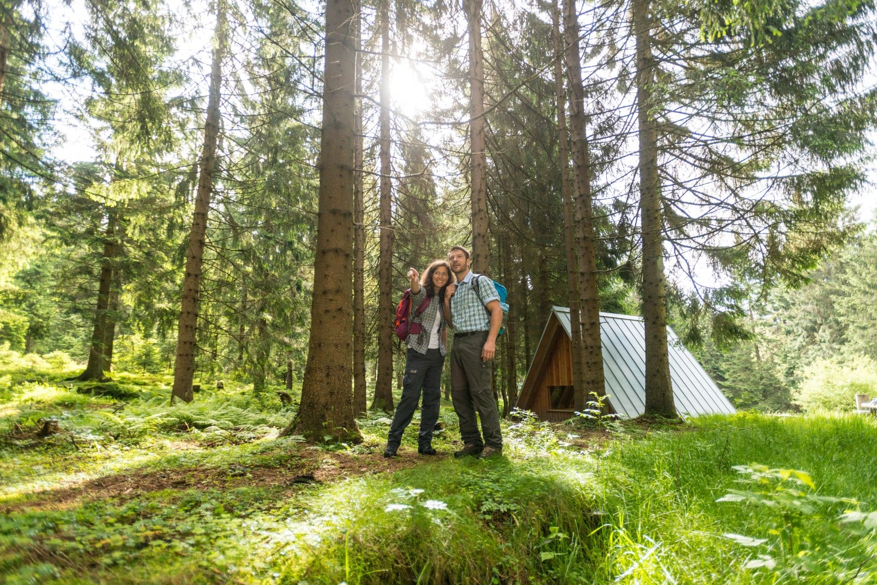
The Rennsteig — Thuringia's most beautiful hiking route

Forest, vastness and water – day trips in the Thuringian Forest

Long distance hiking trails in the Thuringian Forest
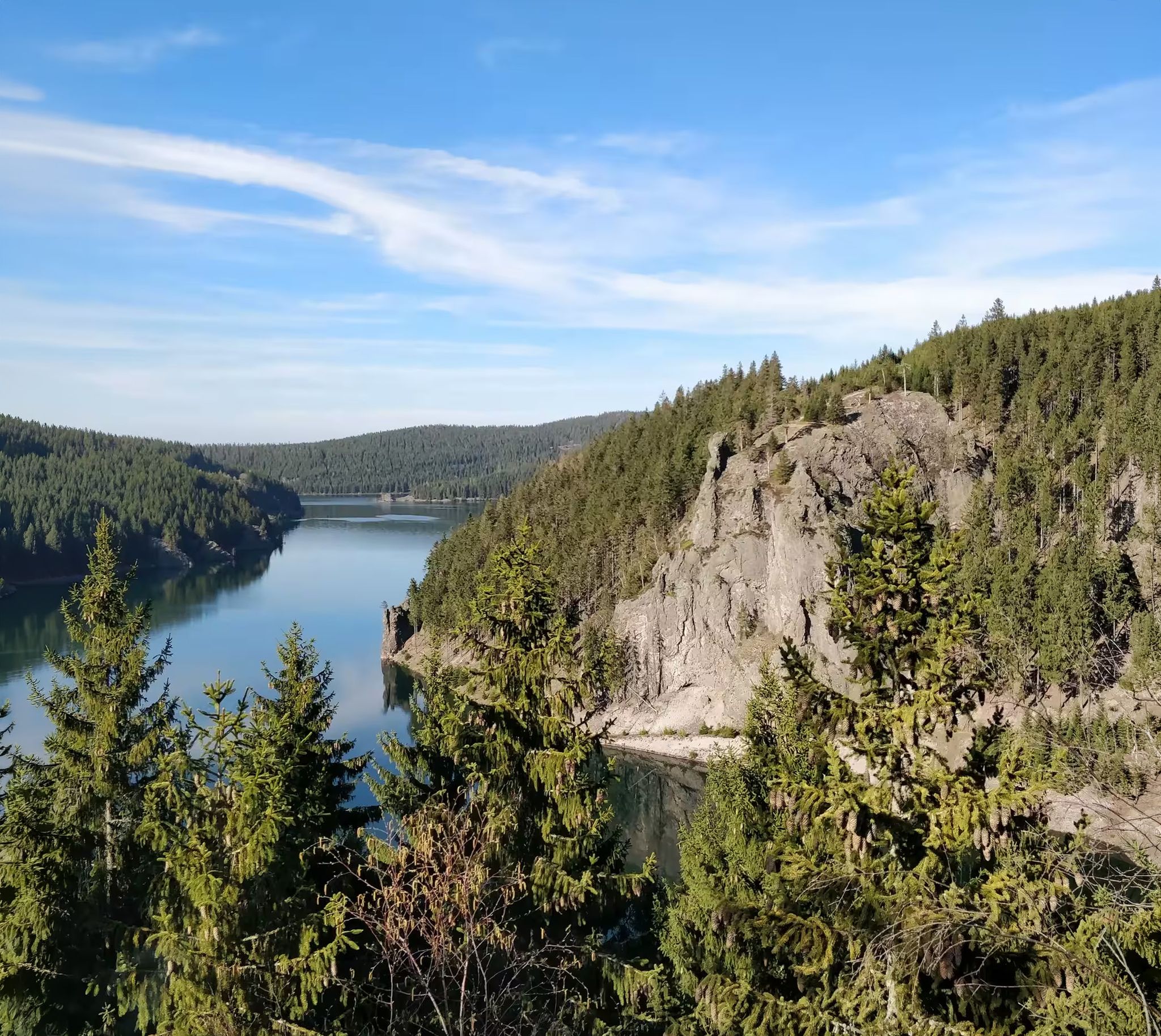
Zwischen Rennsteig und Talsperren – Mikroabenteuer im Thüringer Wald
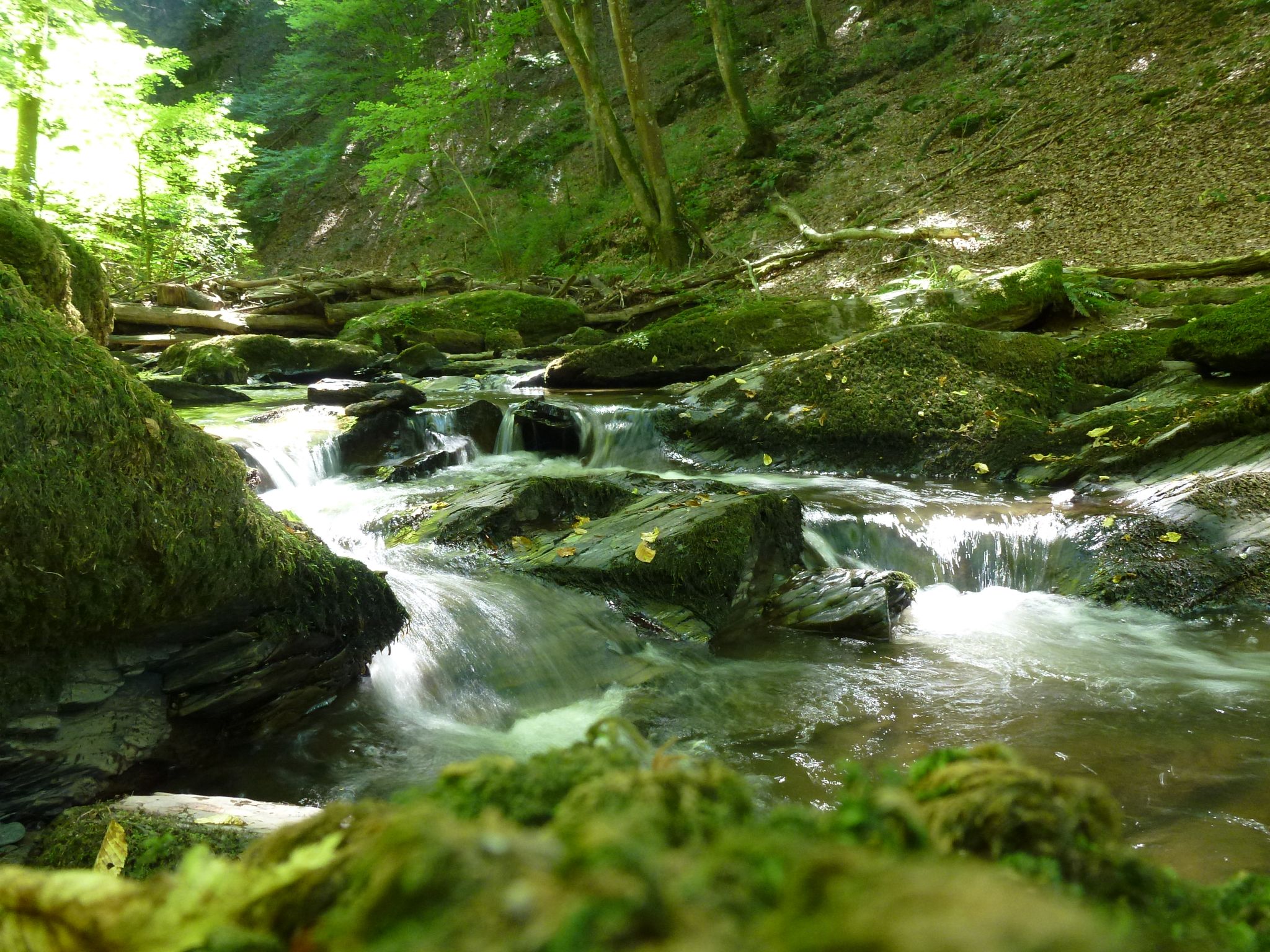
Die Magie von Klammen und Schluchten im Herzen Deutschlands
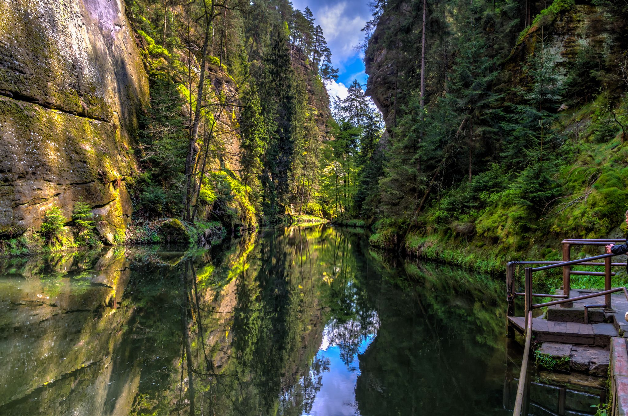
Die Magie von Klammen im Osten Deutschlands
Hiking around Tambach Dietharz
Cycling around Tambach Dietharz
Running Trails around Tambach Dietharz
MTB Trails around Tambach Dietharz
Other adventures around Tambach Dietharz


Tips from the Community

Beautiful hike with a worthwhile destination
0
0

The climb is worth it…
0
0


Here you can cool your feet in the water after a hike. There's also a barefoot path on the grounds, and you can also see dinosaurs here...a place to relax and unwind...
3
0

Wooden shelter with seating directly on the Rennsteig, as well as a stamping point.
6
0

Another vantage point with views over the Thuringian Forest. The Kaltenbrunner Stein is somewhat hidden off the trail.
0
0

Not far from the ski jump at Kanzlersgrund, you can take a break here and refill your drinks.
0
0

A dream forest! I hope it stays that way.
2
0
Frequently Asked Questions
What kind of terrain can I expect on mountaineering routes around Tambach-Dietharz?
The routes in Tambach-Dietharz primarily traverse the dense woodlands of the Thuringian Forest, featuring picturesque valleys and significant rock formations. You'll encounter porphyry rock faces, such as those near the Red Tower, and scenic areas like the Lauchagrund, known for its diverse rock masses. The landscape is also shaped by features like the Großer Inselsberg and various dams, offering a varied experience.
Are there any easy mountaineering routes suitable for beginners or families?
Yes, Tambach-Dietharz offers several easy routes. For instance, the Backofenloch in the Lauchagrund – Backofenloch Cave loop from Bad Tabarz is an easy 4.0-mile (6.4 km) path that explores the Lauchagrund area. Overall, there are 4 easy routes available, making it accessible for various skill levels.
Where can I find scenic viewpoints or natural attractions along the routes?
The region is rich in natural beauty. You can enjoy stunning views from the Kaltenbrunner Stein Viewpoint – Burnt Rock loop from Zella-Mehlis. Other notable spots include the Great Inselsberg, a prominent mountain, and the picturesque Ebertswiese Mountain Meadow. The area also features the Spitterfall, Thuringia's highest natural waterfall, and several scenic dams.
Are there any circular mountaineering routes available?
Many routes in the area are designed as loops, offering a convenient way to explore. A popular option is the Torstein Rock Arch – Red Tower loop from Bad Tabarz, which is a moderate 5.3-mile (8.6 km) trail. Another is the Shelter "Stein 16" – Violet fountain loop from Oberhof, a 4.7-mile (7.6 km) trail through forested terrain.
What is the best season for mountaineering in Tambach-Dietharz?
The Thuringian Forest, with its dense woodlands and varied terrain, is generally enjoyable for mountaineering from spring through autumn. During these seasons, the trails are typically clear, and the natural landscapes are vibrant. While winter mountaineering is possible, conditions can be challenging, and some routes may require specialized gear or experience due to snow and ice.
Are there any caves or unique rock formations to explore?
Yes, the region is known for its caves and impressive rock formations. You can explore the Backofenloch in the Lauchagrund, which is part of a popular easy route. Other notable caves include the Burnt Stone Tunnel and the Hülloch Cave. The Falkenstein, a 96-meter-high porphyry rock, is also a significant natural monument in the area.
What do other mountaineers say about the routes in Tambach-Dietharz?
The mountaineering routes around Tambach-Dietharz are highly regarded by the komoot community, with an average rating of 4.8 stars from over 8 reviews. More than 50 mountaineers have used komoot to explore the varied terrain, often praising the well-maintained paths and the natural beauty of the Thuringian Forest.
Are there any routes that pass by water features like waterfalls or lakes?
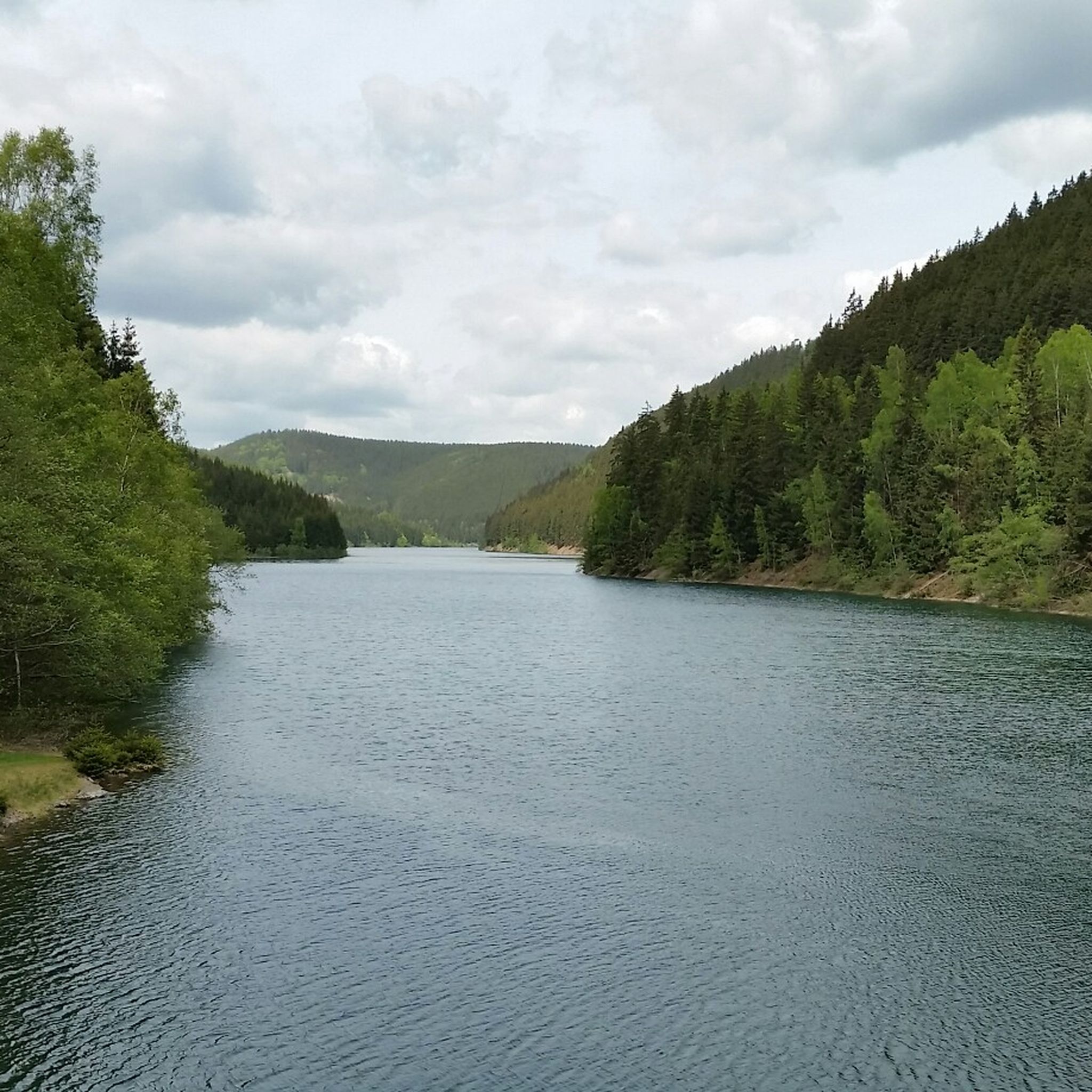
Yes, the region offers routes that lead to beautiful water features. You can find diverse hikes through the Spitter valley to Thuringia's highest natural waterfall, the Spitterfall, and the picturesque mountain lake Ebertswiese. The area also features the over 100-year-old Old Tambach Dam and the larger Schmalwasser Dam, which add to the scenic landscape.
What is the overall difficulty range of mountaineering routes in this area?
The mountaineering routes around Tambach-Dietharz cater to a range of abilities. There are 4 easy routes, 4 moderate routes, and 1 difficult route. This variety ensures that both casual hikers and those seeking a greater challenge can find suitable options.
Are there any specific routes with significant elevation gain for a more challenging experience?
For those seeking a more challenging ascent, the Kaltenbrunner Stein Viewpoint – Burnt Rock loop from Zella-Mehlis is classified as difficult. This route involves a substantial elevation gain of over 440 meters, offering a demanding yet rewarding experience with panoramic views.
Is there parking available near the trailheads?
While specific parking details for every trailhead are not provided, Tambach-Dietharz and the surrounding Thuringian Forest region are generally well-equipped for outdoor visitors. Many popular hiking and mountaineering areas typically offer designated parking facilities near trail access points. It's advisable to check individual route descriptions on komoot for precise parking information.
Can I reach the mountaineering routes using public transport?
Tambach-Dietharz is situated within the Thuringian Forest, and while public transport options exist, their accessibility to specific remote trailheads can vary. Larger towns like Bad Tabarz and Oberhof, which serve as starting points for some routes, are generally better connected. For detailed public transport information to specific starting points, it's recommended to consult local transport schedules.
Most popular routes around Tambach Dietharz
Most popular attractions around Tambach Dietharz

Get inspired with the komoot mobile app


Explore more
Browse the best Mountain Hikes & Routes in other regions.
