The best road cycling routes around Marcilly-La-Gueurce
4.8
(24)
507
riders
134
rides
Road cycling routes around Marcilly-La-Gueurce traverse the verdant Charolais bocage, characterized by a green and peaceful countryside. The region features rolling hills and forests, providing varied terrain for road cyclists. This landscape offers both challenging ascents and enjoyable descents, with panoramic views from elevated points. The area's peaceful roads are suitable for tranquil cycling experiences.
Best road cycling routes around Marcilly-La-Gueurce
- The most popular road cycling route is Mounts and Valleys of Charolais-Brionnais Loop, an 22.3 miles (35.9 km)…
Last updated: July 4, 2026
7
riders
35.9km
01:35
290m
290m
An easy 22.3-mile road cycling loop from Charolles, exploring the verdant Charolais-Brionnais countryside and historic sites.
5.0
(12)
22
riders
57.8km
02:40
620m
620m
Moderate road ride. Good fitness required. Mostly well-paved surfaces and easy to ride.

Sign up for free
29
riders
100km
04:47
1,360m
1,360m
Hard road ride. Very good fitness required. Some segments of this route may be unpaved and difficult to ride.
21
riders
57.3km
03:03
830m
830m
Moderate road ride. Good fitness required. Mostly well-paved surfaces and easy to ride.
23
riders
117km
05:50
1,720m
1,720m
Hard road ride. Very good fitness required. Some segments of this route may be unpaved and difficult to ride.
Get access to more routes and recommendations from other explorers.
Sign up for free
Already have an account?
Our route recommendations are based on thousands of hikes, rides, and runs completed by other people on komoot.
Start today with a free account
Your next adventure awaits.
Login or Signup
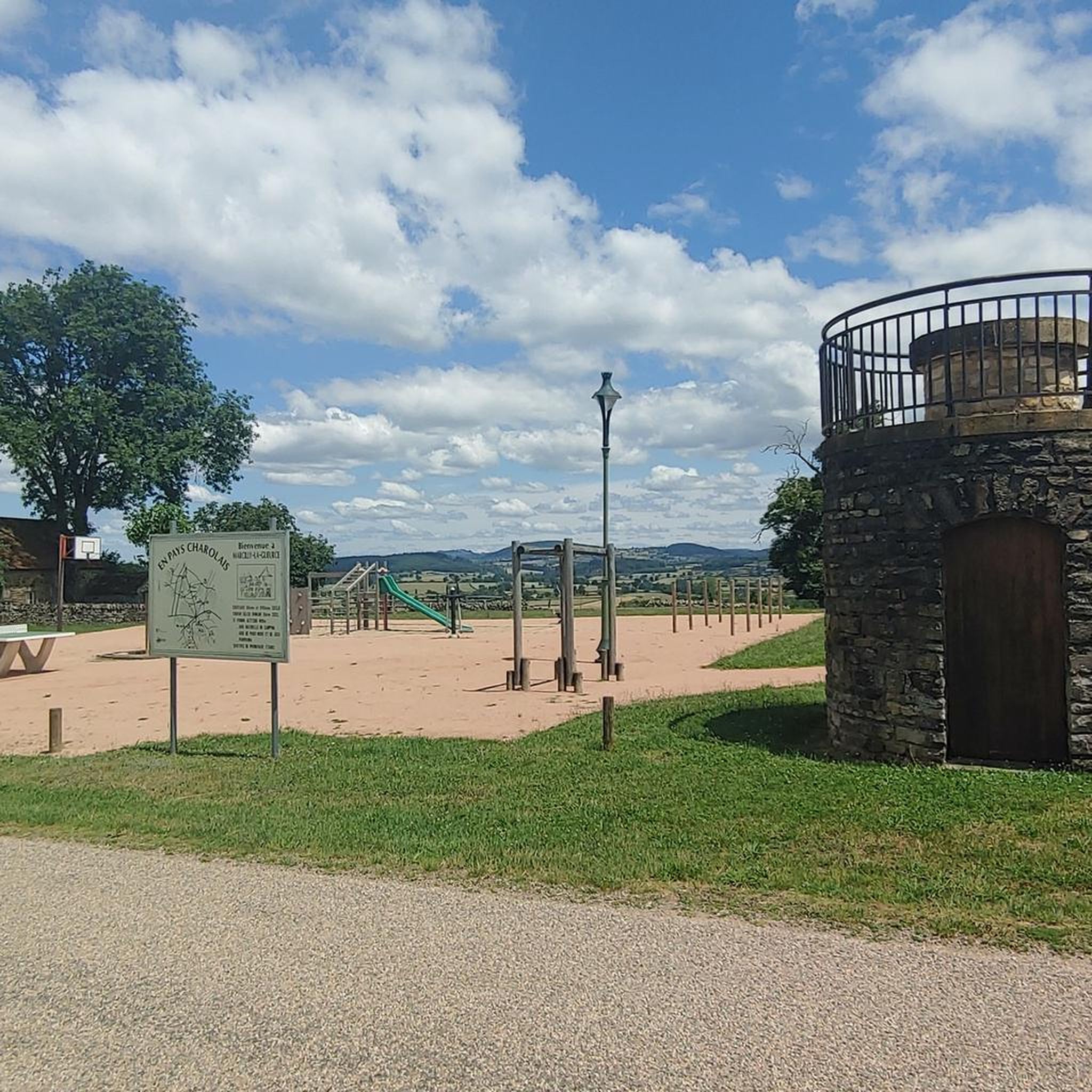
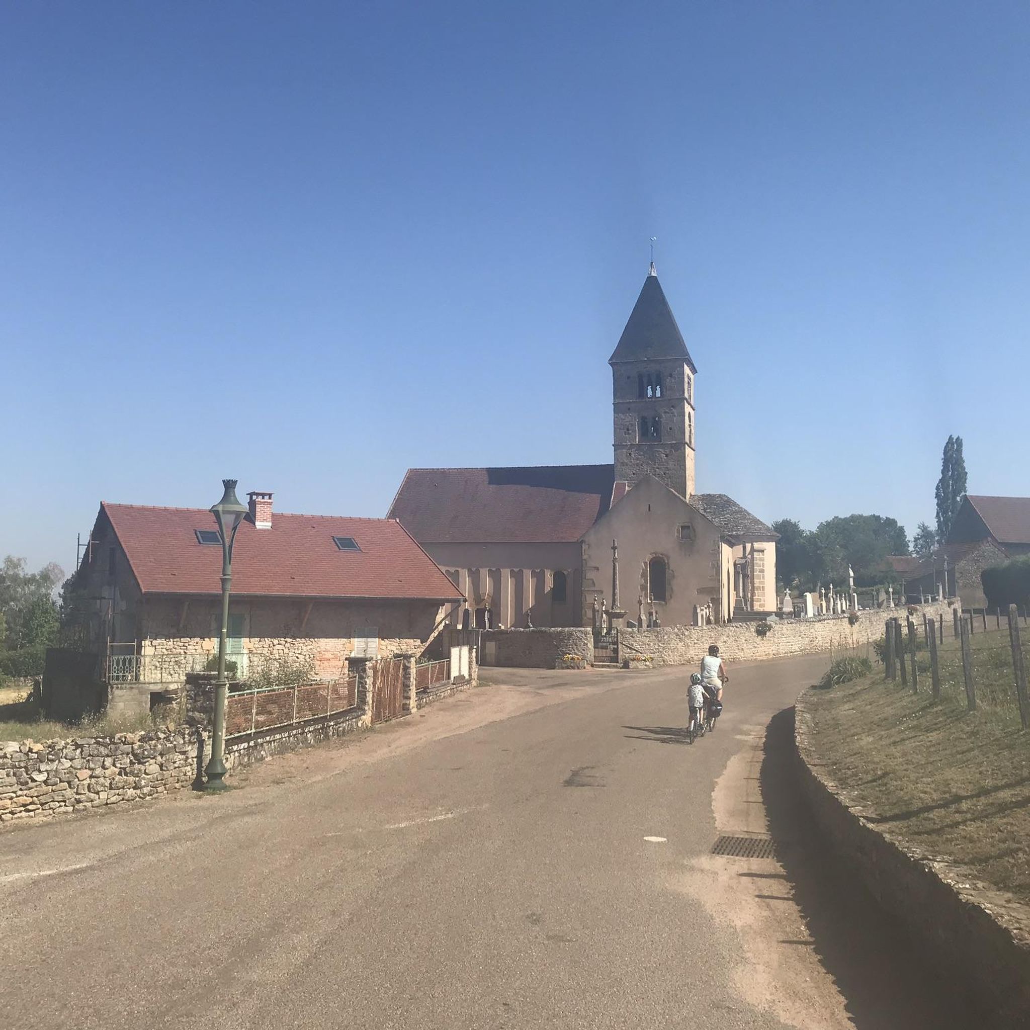


Tips from the Community

Opening hours: Open from the beginning of April to the end of October. June, July and August. Open daily from 10:00 to 18:30. April, May, September and October: Open from 14:00 to 18:00 (closed on Mondays and Tuesdays, except on public holidays). Admission prices: Combined ticket (Castle tour & Gardens): €16 for adults, €10 for youths and students, children under 7 years are free. Gardens only: €8 for adults, €7 reduced.
0
0
Mont Saint-Cyr is located in southern Burgundy (Saône-et-Loire department) in the municipality of Montmelard and, at 771 meters, is the highest point in the Mâconnais mountains. From the summit, there is a wide panoramic view of the surrounding landscapes of Charolais, Brionnais, and Clunisois. In very clear weather, the view extends eastwards to Mont Blanc in the Alps. On the mountain are the historical remains of a 10th-century monastery, which was destroyed during the Wars of Religion. There is a picnic area in the forest, as well as orientation panels that help identify the surrounding peaks and valleys.
0
0
Mont Saint-Cyr is located in southern Burgundy (Département Saône-et-Loire) in the municipality of Montmelard and, at 771 meters, is the highest point in the Mâconnais mountains. From the summit, there is a wide panoramic view of the surrounding landscapes of Charolais, Brionnais, and Clunisois. In very clear weather, the view to the east even extends to Mont Blanc in the Alps. On the mountain are the historical remains of a 10th-century monastery that was destroyed during the Huguenot Wars. There is a picnic area in the forest, as well as orientation panels that are helpful in identifying the surrounding peaks and valleys.
0
0
Mont Saint-Cyr is located in southern Burgundy (Saône-et-Loire department) in the municipality of Montmelard and, at 771 meters, is the highest point of the Mâconnais mountains. From the summit, there is a wide panoramic view of the surrounding landscapes of Charolais, Brionnais, and Clunisois. In very clear weather, the view extends eastwards to Mont Blanc in the Alps. On the mountain are the historical remains of a 10th-century monastery, which was destroyed during the Huguenot Wars. There is a picnic area in the forest as well as orientation panels that are helpful in identifying the surrounding peaks and valleys.
0
0

Mont Saint-Cyr 771 m, the highest point in the Mâconnais mountains with a superb view.
1
0

Sandstone church directly on the road, behind it Château de Lugny
0
0


Impressive views over southern Burgundy and Haut-Beaujolais
1
0
Frequently Asked Questions
What kind of terrain can I expect when road cycling around Marcilly-La-Gueurce?
The region around Marcilly-La-Gueurce is characterized by the verdant Charolais bocage, featuring a green and peaceful countryside with rolling hills and forests. This offers varied terrain, including both challenging ascents and enjoyable descents, with opportunities for panoramic views from elevated points.
How many road cycling routes are available in the Marcilly-La-Gueurce area?
There are over 140 road cycling routes available around Marcilly-La-Gueurce, catering to various skill levels. You'll find a wide selection of easy, moderate, and difficult routes to explore.
Are there routes suitable for beginners or those looking for an easy ride?
Yes, the area offers several easy routes. For instance, the Mounts and Valleys of Charolais-Brionnais Loop is an easy 22.3-mile (35.9 km) trail that explores the characteristic rolling hills and valleys of the Charolais region.
What historical landmarks or points of interest can I see while cycling?
Road cycling routes around Marcilly-La-Gueurce often pass by historical sites. You can find several châteaux in the area, such as the Château de Terzé, Moulin-la-Cour, and the Vieux Château. The 11th-century Romanesque church of Saint Laurent is also a notable historical site. For specific attractions, consider visiting Drée Castle or Montrouant Castle.
Are there any routes that offer panoramic views?
Absolutely. The region's rolling hills provide many opportunities for scenic vistas. The hamlet of Saint-Firmin, for example, offers magnificent panoramic views of the Charolais mountains. Routes like the Arconce Bridge – Mount St. Cyr loop from Charolles are known for their rolling hills and panoramic views.
What do other cyclists say about road cycling in Marcilly-La-Gueurce?
The road cycling routes around Marcilly-La-Gueurce are highly rated by the komoot community, with an average score of 4.8 stars from over 20 reviews. Cyclists often praise the peaceful country roads, varied terrain, and the beautiful, verdant Charolais bocage.
Are there any challenging road cycling routes for experienced riders?
Yes, for experienced riders seeking a challenge, routes like the Crocaloge to Château climb – View from Mont Saint-Cyr loop from Vaudebarrier offer significant elevation gains and longer distances, providing a demanding yet rewarding experience.
What is the best time of year for road cycling in Marcilly-La-Gueurce?
The Charolais region, with its green and peaceful countryside, is generally pleasant for cycling from spring through autumn. The mild weather during these seasons makes it ideal for enjoying the rolling hills and scenic routes.
Are there any circular road cycling routes available?
Many of the routes around Marcilly-La-Gueurce are designed as loops, allowing you to start and finish in the same location. Examples include the Mounts and Valleys of Charolais-Brionnais Loop and the Arconce Bridge – Château de Drée loop from Charolles.
Where can I find more information about the Marcilly-La-Gueurce region?
For general tourist information about Marcilly-La-Gueurce and the surrounding Burgundy-Franche-Comté region, you can visit the official tourism website: Bourgogne Tourisme.
Are there any routes that pass by specific castles or historical buildings?
Yes, several routes offer views of historical architecture. The Arconce Bridge – Château de Drée loop from Charolles, for example, provides views of the countryside and passes by historical châteaux, including Drée Castle.
What is the typical duration for a road cycling route in this area?
Route durations vary significantly based on distance and difficulty. Easy routes like the Mounts and Valleys of Charolais-Brionnais Loop can be completed in about 1 hour 35 minutes, while more moderate routes might take around 2-3 hours, and difficult ones much longer.
Most popular attractions around Marcilly-La-Gueurce

Get inspired with the komoot mobile app


Explore more
Browse the best Road cycling routes in other regions.
