Things to Do around Warngau
Warngau, a region in Upper Bavaria's scenic Miesbacher Oberland, offers a diverse landscape ideal for outdoor activities. Characterized by rolling hills, agricultural expanses, and proximity to the Bavarian Alps, the area provides varied terrain for several sports like hiking, touring cycling, road cycling, mountain biking, and more. Natural features such as the prominent Taubenberg and the picturesque Mangfall Valley contribute to Warngau's appeal for active exploration.
Things to Do in Warngau
Warngau provides a wide array of outdoor activities, with…
134
Routes
4.7
(748)
Average rating
5388
People visited

4.1
(33)
158
hikers
15.9km
04:22
260m
260m
Moderate hike. Good fitness required. Mostly walkable paths. Sure-footedness required.
4.5
(29)
123
hikers
10.5km
02:52
170m
170m
Moderate hike. Good fitness required. Easily walkable paths.
4.7
(14)
171
hikers
7.36km
02:12
230m
230m
Moderate hike. Good fitness required. Easily walkable paths.
4.9
(17)
88
hikers
3.91km
01:08
110m
110m
Easy hike. Easily walkable paths.
Get access to more routes and recommendations from other explorers.
Already have an account?
4.6
(18)
110
riders
47.3km
03:06
430m
430m
Moderate bike ride. Good fitness required. Mostly paved surfaces.
4.4
(61)
375
riders
30.3km
01:52
290m
290m
Moderate bike ride. Good fitness required. Mostly paved surfaces.
4.5
(26)
240
riders
Moderate bike ride. Good fitness required. Mostly paved surfaces.
4.7
(11)
78
riders
30.7km
02:15
280m
290m
Moderate bike ride. Good fitness required. Mostly paved surfaces.
Get access to more routes and recommendations from other explorers.
Already have an account?
4.6
(5)
178
riders
29.9km
01:14
190m
190m
Easy road ride. Mostly well-paved surfaces and easy to ride.
4.7
(6)
63
riders
Easy road ride. Mostly well-paved surfaces and easy to ride.
4.6
(8)
70
riders
29.6km
01:19
290m
290m
Easy road ride. Mostly well-paved surfaces and easy to ride.
3.7
(6)
113
riders
57.5km
02:43
650m
650m
Moderate road ride. Good fitness required. Mostly well-paved surfaces and easy to ride.
Get access to more routes and recommendations from other explorers.
Already have an account?
4.9
(10)
112
runners
23.6km
02:45
650m
650m
Hard run. Very good fitness required. Mostly paved surfaces.
5.0
(1)
53
runners
11.9km
01:18
220m
220m
Moderate run. Good fitness required. Mostly paved surfaces.
5.0
(3)
57
runners
7.18km
00:49
190m
190m
Moderate run. Good fitness required. Mostly paved surfaces.
5.0
(5)
39
runners
11.4km
01:11
60m
60m
Moderate run. Good fitness required. Mostly paved surfaces.
Get access to more routes and recommendations from other explorers.
Already have an account?
4.7
(7)
62
hikers
21.0km
07:35
930m
930m
Hard mountaineering route. Very good fitness required. Mostly walkable paths. Sure-footedness required.
4.0
(3)
122
hikers
7.98km
02:49
450m
450m
Moderate mountaineering route. Good fitness required. Mostly walkable paths. Sure-footedness required.
4.8
(4)
29
hikers
12.6km
04:02
510m
510m
Moderate mountaineering route. Good fitness required. Easily walkable paths.
4.8
(4)
22
hikers
12.0km
03:54
520m
520m
Moderate mountaineering route. Good fitness required. Easily walkable paths.
Get access to more routes and recommendations from other explorers.
Already have an account?
4.7
(15)
83
riders
56.6km
04:32
1,050m
1,050m
Hard mountain bike ride. Very good fitness required. Advanced riding skills necessary.
4.2
(9)
42
riders
20.3km
01:29
320m
320m
Moderate mountain bike ride. Good fitness required.
4.6
(5)
40
riders
47.0km
03:45
670m
670m
Moderate mountain bike ride. Good fitness required. Advanced riding skills necessary.
5.0
(3)
23
riders
40.8km
03:12
770m
770m
Moderate mountain bike ride. Good fitness required.
Get access to more routes and recommendations from other explorers.
Already have an account?
4.3
(34)
196
riders
37.1km
02:16
530m
530m
Hard gravel ride. Very good fitness required. Mostly paved surfaces.
4.8
(24)
159
riders
84.9km
05:05
1,130m
1,130m
Hard gravel ride. Very good fitness required. Mostly paved surfaces.
4.7
(18)
63
riders
32.8km
01:54
390m
390m
Moderate gravel ride. Good fitness required. Mostly paved surfaces.
4.5
(2)
27
riders
44.5km
02:31
310m
310m
Moderate gravel ride. Good fitness required. Mostly paved surfaces.
Get access to more routes and recommendations from other explorers.
Already have an account?
Top attractions in the region
Explore the region
Most popular attractions in Warngau
Nearby adventure guides
Natural areas to explore nearby
Frequently asked questions
What types of outdoor activities are available in Warngau?
Warngau offers a variety of outdoor activities including Hiking, Touring cycling, Road cycling, Mountain biking, Jogging, Gravel biking, and Mountaineering. The region features 278 routes across these sports, catering to diverse interests and skill levels.
What are the best hiking opportunities in Warngau?
Warngau provides numerous hiking opportunities, from leisurely paths through meadows and forests to more challenging mountain tours. Hikers can find routes with views of the surrounding mountains and Lake Tegernsee. Explore specific options in the Hiking around Warngau guide.
Are there mountain biking trails in Warngau?
Warngau is a destination for mountain biking, featuring trails suitable for both beginners and experienced riders. Routes range from panoramic paths to demanding single tracks. The MTB Trails around Warngau guide provides detailed information on available routes.
What cycling routes are available for road and touring cyclists in Warngau?
Warngau offers well-developed cycling paths for touring and road cycling through idyllic valleys and charming villages. Routes can include scenic rides with views towards Lake Tegernsee. Guides like Cycling around Warngau and Road Cycling Routes around Warngau detail specific options.
What are the notable natural features in Warngau?
The region is characterized by its pre-alpine landscape, rolling hills, and agricultural expanses. Key natural features include the prominent Taubenberg hill and the picturesque Mangfall Valley. Many routes offer views of the Bavarian Alps and Lake Tegernsee.
How popular is Warngau for outdoor activities on komoot?
Warngau is a popular destination on komoot, with more than 44,000 visitors sharing their experiences. The 278 routes in the region have an average rating of 4.54 out of 5 stars from over 3,200 ratings.
Are there routes suitable for jogging or running in Warngau?
Yes, Warngau offers numerous routes specifically for jogging and running. There are 87 dedicated jogging routes available in the region. The Running Trails around Warngau guide provides detailed information on these paths.
What komoot guides are available for Warngau?
Komoot offers several guides for Warngau, including Hiking around Warngau, MTB Trails around Warngau, and Road Cycling Routes around Warngau. Additional guides cover touring cycling, gravel biking, and mountaineering.
Where can I find official information about the municipality of Warngau?
Official information about the municipality of Warngau is available on its website. The official website is www.warngau.de. For direct inquiries, the general phone number is +49 8021 9015-0.
Are there any mountaineering routes in Warngau?
Warngau offers some opportunities for mountaineering, with 4 dedicated routes available. These routes provide more challenging experiences in the pre-alpine landscape. The Mountain Hikes around Warngau guide can assist in finding suitable options.
What types of terrain can be expected on trails in Warngau?
Trails in Warngau traverse a diverse landscape, including rolling hills, agricultural areas, lush meadows, and dense forests. The region's pre-alpine setting means varied terrain, from gentle paths to more challenging ascents, often with scenic viewpoints.
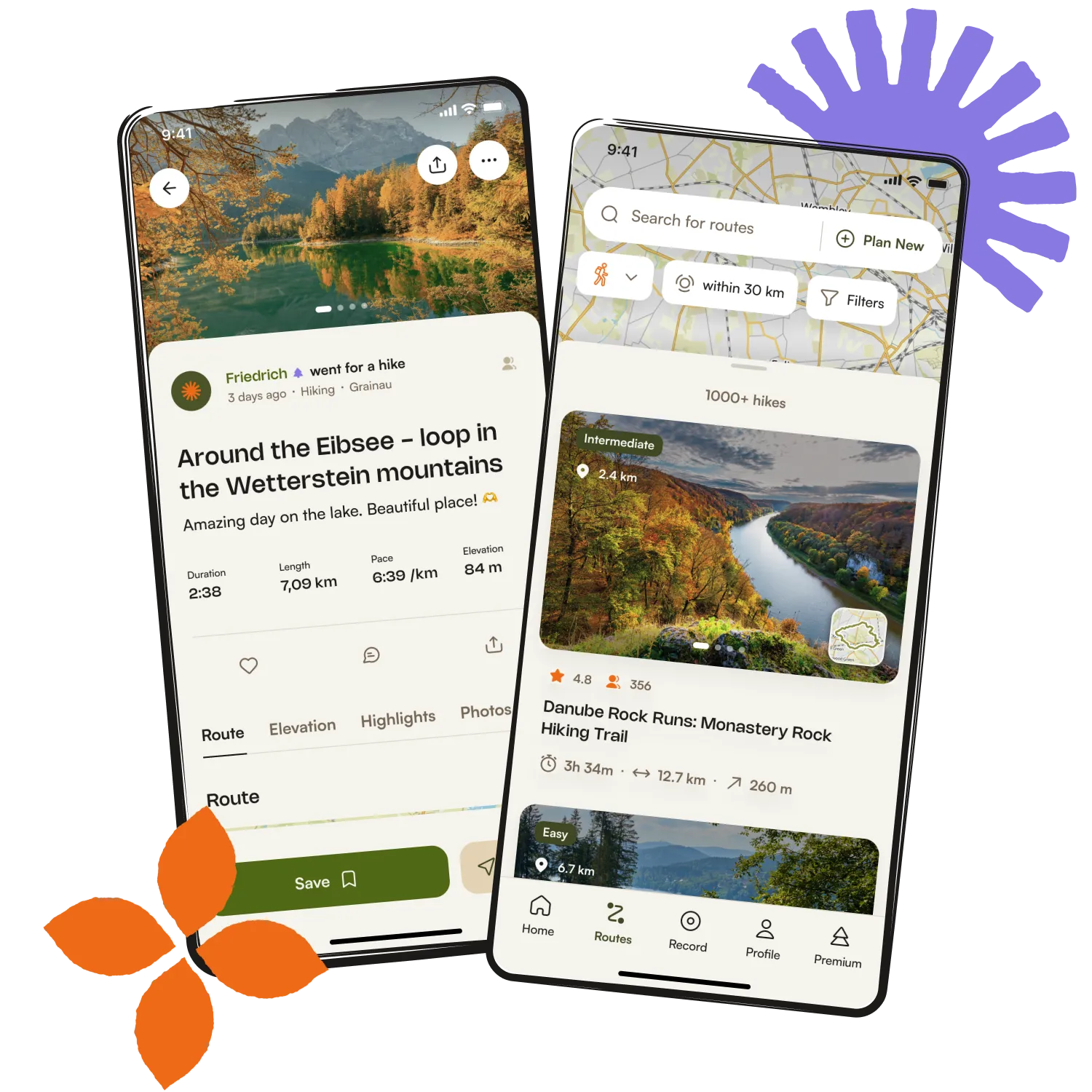
Get inspired with the komoot mobile app

