The best running trails around Ollières
4.3
(76)
1,792
runners
155
runs
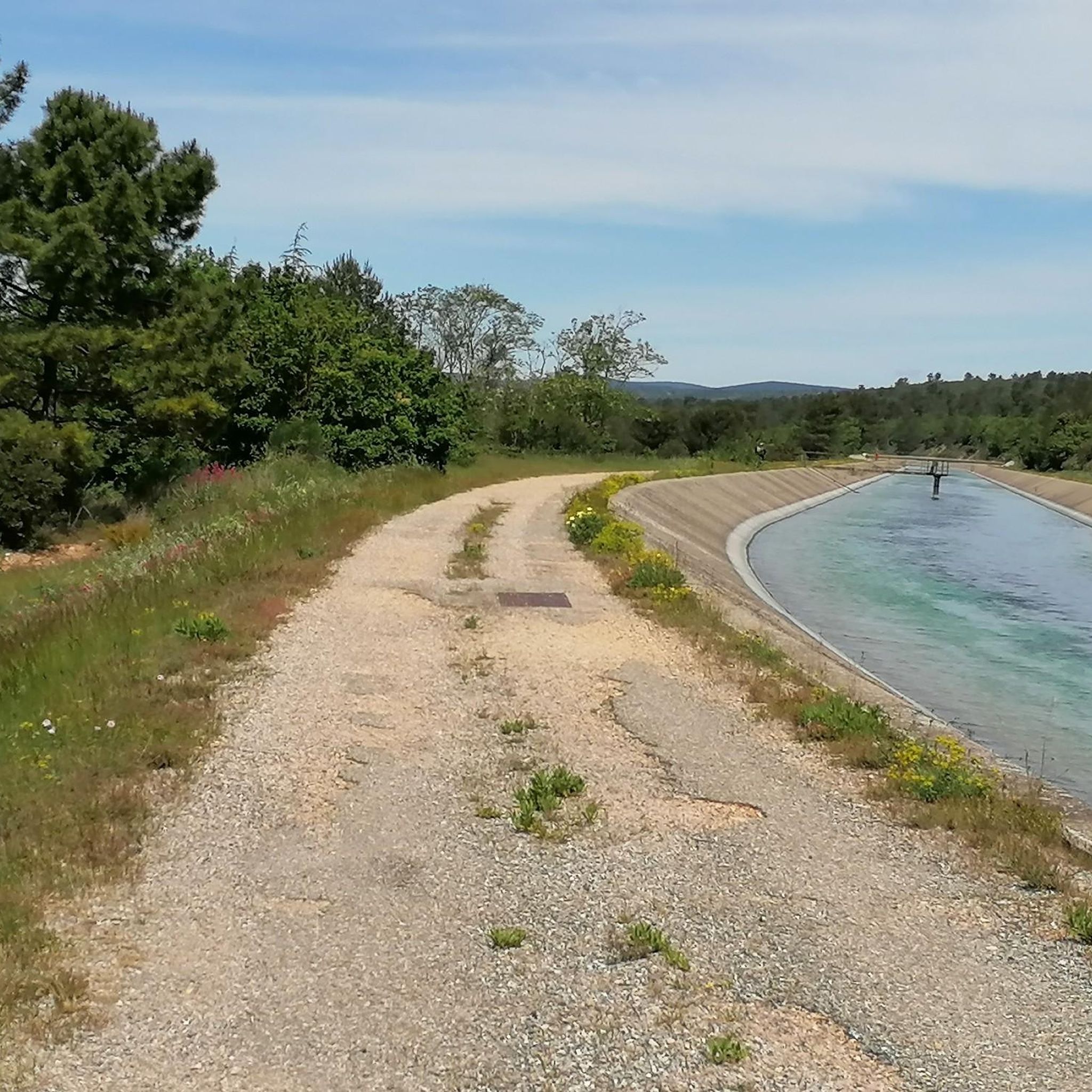
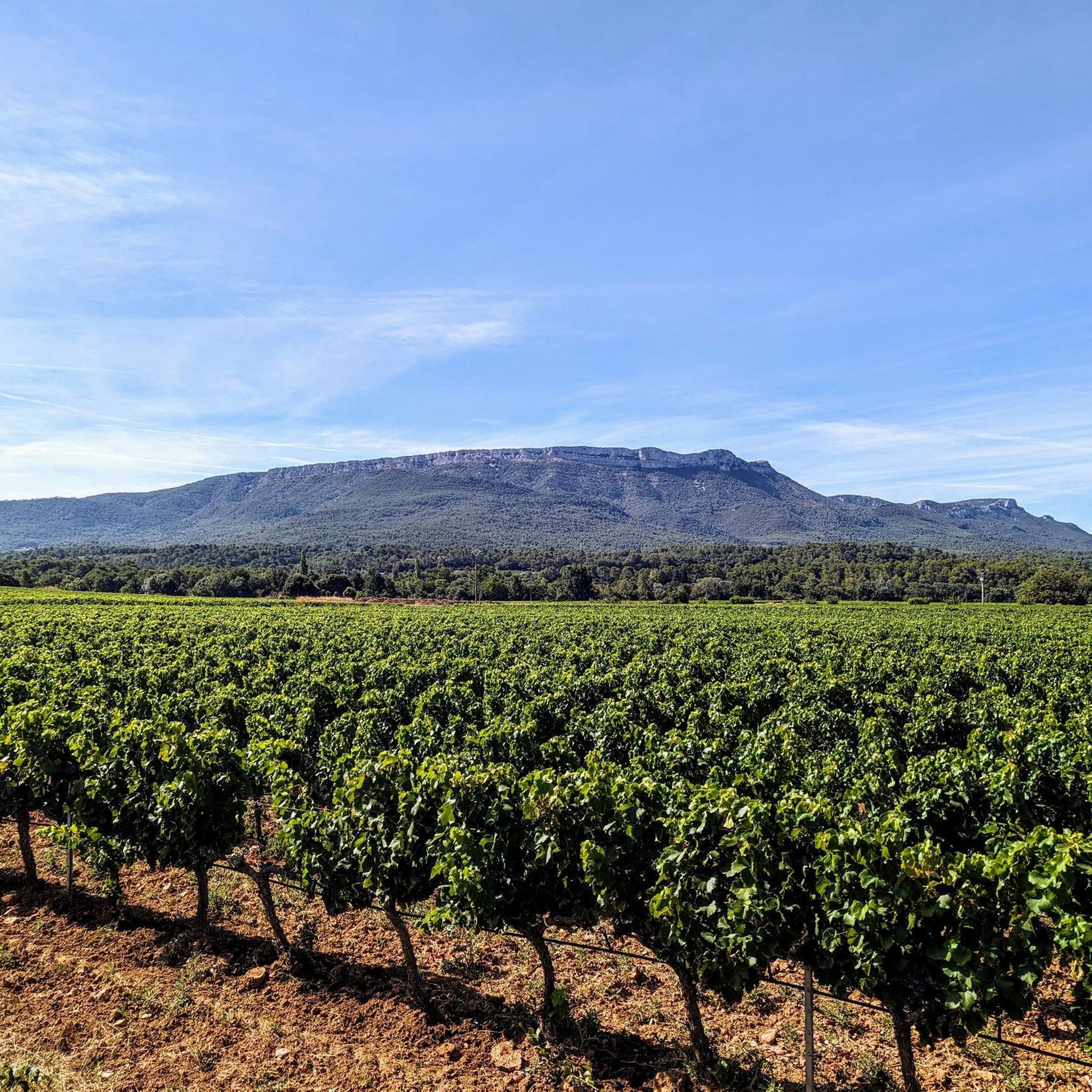
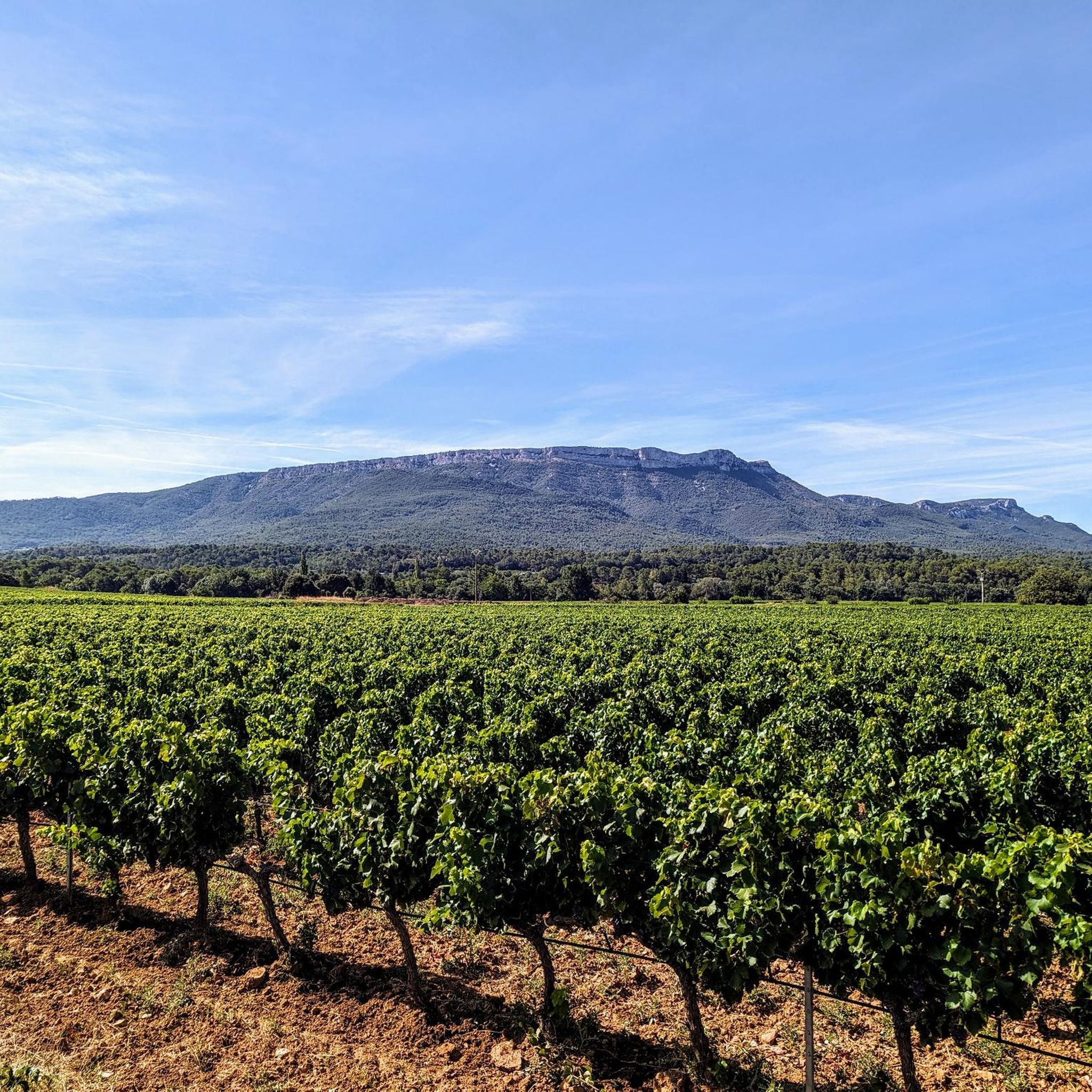
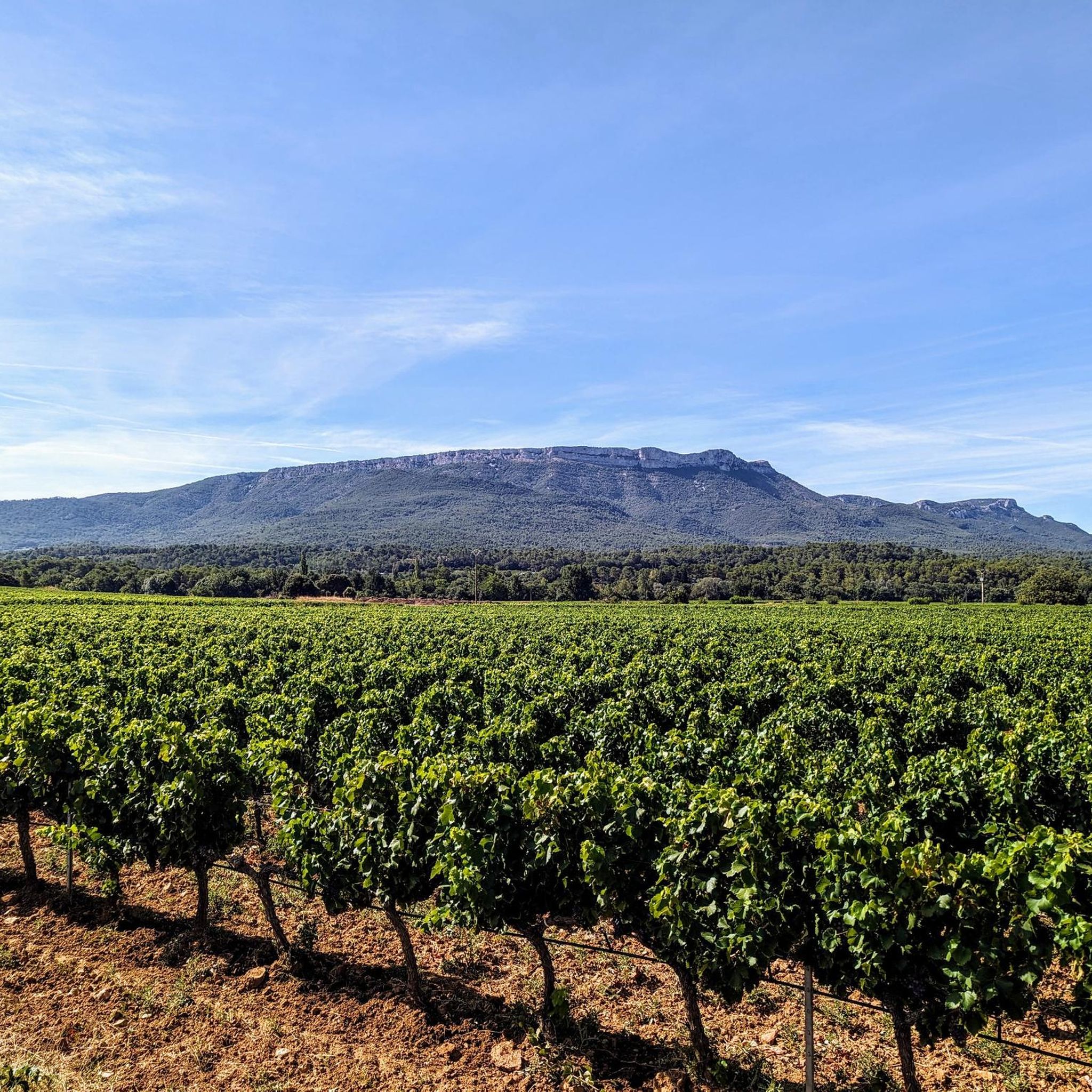
Jogging around Ollières offers access to a landscape characterized by wooded and forested hills within the Provence-Alpes-Côte d'Azur region. The area features an open, grassy hillside providing views of the surrounding terrain. Running routes often pass through the tranquil village, which includes historic Medieval houses and landmarks such as the Sainte-Anne church. The region's natural features provide varied terrain for outdoor activities.
Best jogging routes around Ollières
- The most popular jogging route is Running loop from Ollières, a 3.5…
Last updated: July 5, 2026
24
runners
21.1km
03:10
970m
970m
Hard run. Very good fitness required. Sure-footedness, sturdy shoes and alpine experience required.
16
runners
16.9km
02:30
600m
600m
Hard run. Very good fitness required. Sure-footedness, sturdy shoes and alpine experience required.

Sign up for free
5
runners
5.56km
00:40
100m
100m
Moderate run. Good fitness required. Mostly paved surfaces. Suitable for all skill levels.
5
runners
9.34km
01:00
90m
90m
Moderate run. Good fitness required. Mostly paved surfaces. Suitable for all skill levels.
6
runners
7.15km
00:46
80m
80m
Moderate run. Good fitness required. Mostly paved surfaces. Suitable for all skill levels.
Get access to more routes and recommendations from other explorers.
Sign up for free
Already have an account?
Our route recommendations are based on thousands of hikes, rides, and runs completed by other people on komoot.
Start today with a free account
Your next adventure awaits.
Login or Signup

Frequently Asked Questions
What kind of terrain can I expect on running routes around Ollières?
The running routes around Ollières are characterized by wooded and forested hills, offering a naturally invigorating environment. You'll find varied terrain, from tranquil village paths to more challenging trails with significant elevation gain, all within the picturesque Provence-Alpes-Côte d'Azur region.
Are there any easy or beginner-friendly running routes in Ollières?
Yes, Ollières offers options for various ability levels. While specific 'easy' routes aren't detailed, you can find moderate loops suitable for beginners. For example, the Running loop from Ollières is a moderate 3.5-mile trail with a gentle elevation gain, making it a good starting point.
Can I find routes with scenic views or natural features in the Ollières area?
Absolutely. The region is part of the Provence Verte, known for its preserved nature and sunny landscapes. Many routes traverse wooded hills and offer expansive views. You can also find trails that pass by an open, grassy hillside adjacent to the village, providing panoramic vistas of the surrounding forested terrain.
What historical landmarks or attractions can I see while running near Ollières?
Jogging routes often pass through the tranquil village itself, where you can admire historic Medieval houses. Notable landmarks include the Sainte-Anne church, dating back to the 11th and 12th centuries, remnants of a 15th-century cylindrical dungeon, and the abbatial church Saint-Hilaire d'Ollières. Further afield, you might encounter highlights like Col des Portes or the Malivert oratory.
Are there any circular running routes available in Ollières?
Yes, several circular routes are popular in the area. A great example is the Running loop from Hameau des Hermentaires, a moderate 5.4-mile path. Another option is the Château de Pourcieux loop from Pourcieux, which is 6.1 miles and offers views of the local château.
What do other runners say about the trails in Ollières?
The running routes in Ollières are highly rated by the komoot community, with an average score of 4.3 stars from over 60 reviews. Runners often praise the varied terrain, the peaceful atmosphere of the village, and the beautiful forested hills that define the region.
Are there any longer or more challenging running routes for experienced runners?
For experienced runners seeking a challenge, Ollières offers more demanding routes. The Mount Aurélien loop from Pourcieux is a difficult 13.1-mile trail leading through forested hills with significant elevation gain, typically taking over 3 hours to complete. Another challenging option is Mont Aurelien part 1 – Mont Aurélien - Pillar loop from Pourcieux, a 10.5-mile difficult route.
Is Ollières a good place for family-friendly running or running with kids?
Ollières's tranquil environment and varied terrain can be suitable for family-friendly running, especially on shorter, less strenuous paths. While specific 'kids' routes aren't highlighted, the moderate loops with gentle elevation, such as the Running loop from Ollières, could be enjoyable for families looking for an outdoor activity together.
What is the best time of year for jogging in Ollières?
Given its location in the Provence-Alpes-Côte d'Azur region, Ollières generally offers pleasant conditions for jogging for much of the year. The 'sunny roads and paths of Provence' suggest that spring and autumn would be ideal, with milder temperatures. Even in winter, the region can be inviting, though checking local weather is always recommended.
How many running routes are available around Ollières?
There are over 150 running routes available around Ollières, catering to various fitness levels. This includes 9 easy routes, 112 moderate routes, and 35 difficult routes, ensuring plenty of options for every runner.
Are there any viewpoints along the running trails in Ollières?
Yes, the region offers several opportunities for scenic viewpoints. The open, grassy hillside adjacent to the village provides expansive views of the surrounding forested hills. Additionally, you might find specific viewpoints like PUYLOUBIER GRAVEL SECTION which offer panoramic vistas of the landscape.
Most popular attractions around Ollières

Get inspired with the komoot mobile app


Explore more
Browse the best Running Trails & Routes in other regions.
