The best running trails around Bösleben-Wüllersleben
4.4
(288)
3,566
runners
345
runs
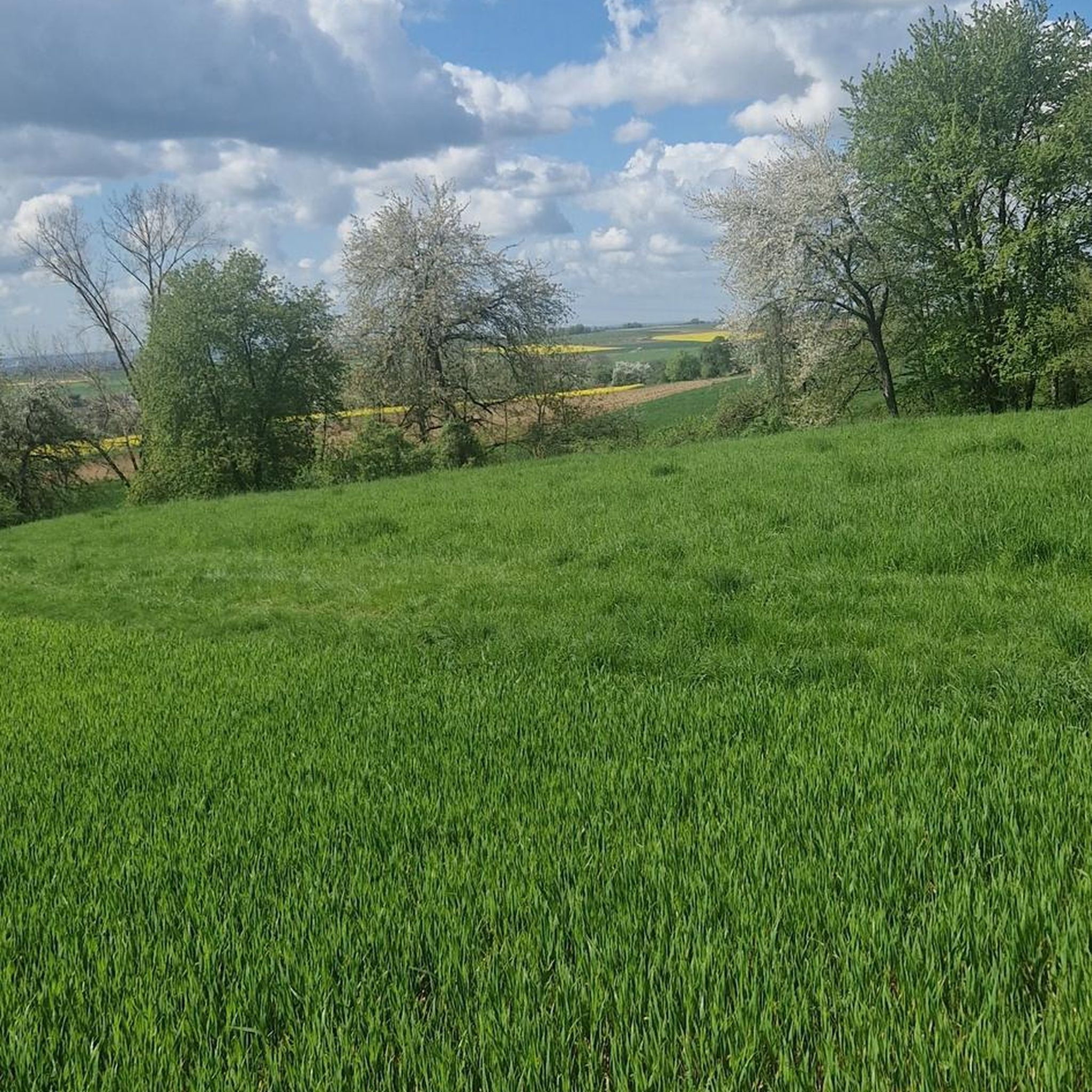
Jogging around Bösleben-Wüllersleben offers routes through the southern Thuringian Basin, situated on a fertile plateau approximately 400 meters above sea level. The Hessenbach stream contributes to the natural scenery, while the region is characterized by agricultural lands, rolling fields, and lush meadows. "Das Große Holz" near Stadtilm provides a significant forested area for varied running experiences. The Ilm Valley, encompassing the municipality, features an idyllic setting suitable for outdoor activities.
Best jogging routes around Bösleben-Wüllersleben
- The most popular jogging route…
Last updated: October 13, 2026
15
runners
9.72km
01:02
90m
90m
Moderate run. Good fitness required. Mostly paved surfaces. Suitable for all skill levels.
3.0
(1)
6
runners
11.2km
01:10
80m
80m
Moderate run. Good fitness required. Mostly paved surfaces. Suitable for all skill levels.

5.0
(1)
4
runners
9.63km
01:01
110m
110m
Moderate run. Good fitness required. Mostly paved surfaces. Suitable for all skill levels.
6
runners
7.10km
00:47
60m
60m
Moderate run. Good fitness required. Mostly paved surfaces. Suitable for all skill levels.
4
runners
7.99km
00:51
80m
80m
Moderate run. Good fitness required. Mostly paved surfaces. Suitable for all skill levels.
Get access to more routes and recommendations from other explorers.
Already have an account?
Our route recommendations are based on thousands of hikes, rides, and runs completed by other people on komoot.
Start today with a free account
Your next adventure awaits.
Tips from the Community

The viaduct has a total length of 201.30 meters, has 13 arches, and is 18 meters high. It was considered one of the largest railway bridges at the time. The keystone was laid on June 28, 1893, in the presence of the Princely Couple of Schwarzburg-Rudolstadt and other guests of honor.
1
0

Here you can easily and uncomplicatedly pump up your bike or carry out minor repairs.
0
0

The viaduct was built between 1891 and 1893 during the construction of the Arnstadt Saalfeld railway line. It is 201.30 meters long and 18 meters high. The construction costs amounted to 425,000 marks. The viaduct is a massive stone arch bridge with 13 arches. The bridge is an impressive example of 19th century engineering.
12
1

Parts of the town hall date back to the 13th century. It looks great.
0
0

An ensemble worth seeing. Behind it lies the largest Thuringian land for rent. Just take a look around the corner.
1
0

I like it 👍🏻
3
3

The exhibition concept of the museum is currently being redesigned. A visit to the museum can only be made by prior appointment. What a pity.
7
0
The Ilm Viaduct (or Stadtilm Viaduct or Ilm Valley Viaduct) is a single-track railway bridge on the Arnstadt–Saalfeld railway line between kilometers 15.064 and 15.264. It spans the Ilm and the federal highway 87 in Stadtilm, Thuringia. Viaducts, very often built with bricks, are gigantic masterpieces of architecture. The Göltzsch Valley Bridge in the Vogtland district of Saxony is the largest brick bridge in the world and also a masterpiece. This one is of course a little smaller, but no less interesting.
22
1
Frequently Asked Questions
How many running routes are available in Bösleben-Wüllersleben, and what are their difficulty levels?
There are over 280 running routes around Bösleben-Wüllersleben. These include 22 easy routes, 196 moderate routes, and 69 difficult routes, offering options for all fitness levels.
Are there easy jogging routes suitable for beginners in Bösleben-Wüllersleben?
Yes, Bösleben-Wüllersleben offers 22 easy running routes. While specific easy routes from our top picks are not listed, the region's trails are generally known for their easily accessible paths, making them suitable for beginners. You can find many options that are perfect for a gentle run.
What kind of landscapes can I expect to see while running in Bösleben-Wüllersleben?
Jogging in Bösleben-Wüllersleben offers a diverse natural experience. You'll primarily encounter the southern Thuringian Basin, characterized by fertile plateaus, rolling fields, and lush meadows. The Hessenbach stream meanders through the area, adding to the tranquil scenery. For a change of pace, "Das Große Holz" near Stadtilm provides a significant forested area.
Are there any longer running trails for more experienced runners?
For those looking for a longer challenge, the region has several options. One notable route is the Tunnel Museum loop from Stadtilm, which spans 6.9 miles (11.2 km) and leads through the scenic Ilm Valley.
What do other runners enjoy the most about jogging in Bösleben-Wüllersleben?
The running routes in Bösleben-Wüllersleben are highly rated by the komoot community, with an average score of 4.3 stars from over 200 reviews. Runners often praise the varied terrain, from rolling fields to forested areas, and the well-maintained paths that make for an enjoyable experience.
Are there any interesting landmarks or attractions along the running routes?
While jogging, you can enjoy the idyllic Ilm Valley with its scenic fields and meadows. For unique attractions, consider visiting the Straußenhof Kleinhettstedt (Ostrich Farm Kleinhettstedt) nearby. The broader region also features historical sites like Oberschloss Kranichfeld or natural wonders like the Dienstedt Karst Cave, though these might require a slight detour from the immediate running paths.
Are there any circular running routes available?
Yes, many of the running routes in Bösleben-Wüllersleben are designed as loops, offering convenient circular paths. For example, the Running loop from Riechheimer Berg is a moderate 7.1 km (4.4 miles) option that allows you to start and finish in the same location.
What is the best time of year to go jogging in Bösleben-Wüllersleben?
The region is suitable for outdoor activities throughout much of the year. Spring and autumn offer pleasant temperatures and beautiful scenery with blooming flowers or colorful foliage. Summer is also great, especially in the mornings or evenings, while winter jogging is possible, though conditions may vary depending on snow and ice.
Are there running routes that are suitable for families?
Many of the easy and moderate routes with accessible paths are suitable for families. The generally gentle terrain and scenic views make for an enjoyable outing. Look for routes described as having minimal elevation gain and well-maintained surfaces for the best family experience.
Can I find running routes that are dog-friendly in the area?
Yes, the natural landscapes and numerous trails around Bösleben-Wüllersleben are generally welcoming for dogs. Many routes traverse open fields and forested areas, providing ample space for your canine companion. Always ensure your dog is on a leash where required and respect local wildlife and agricultural areas.
Is there parking available near the running trails?
While specific parking locations are not detailed for every route, many trailheads in and around towns like Marlishausen and Stadtilm, which serve as starting points for popular routes, typically offer parking facilities. It's advisable to check the route details on komoot for specific parking information before you go.
Are there any running routes accessible by public transport?
The region has various towns and villages that may be connected by local public transport. Routes starting from locations like Marlishausen or Stadtilm, such as the Running loop from Marlishausen, might be accessible via public transport, allowing you to reach the starting point without a car.
Most popular routes around Bösleben-Wüllersleben
Most popular attractions around Bösleben-Wüllersleben

Get inspired with the komoot mobile app


Explore more
Browse the best Running Trails & Routes in other regions.
