The best mountain hikes in Landkreis Eichsfeld
4.0
(2)
9
hikers
6
hikes
Mountaineering routes in Landkreis Eichsfeld traverse a diverse landscape of gently rolling hills, dense deciduous forests, and serene river valleys, punctuated by impressive rock cliffs and shell-limestone plateaus. The region, located in northwest Thuringia, Germany, is known for its undulating hills and extensive forests, nestled between the Harz mountains and the Thuringian Basin. It features 229 named mountains, offering varied terrain for outdoor activities. Notable peaks like Rachelsberg and Junkerkuppe provide elevation gains and panoramic views.
Best mountaineering routes in…
Last updated: October 7, 2026
3.0
(1)
1
hikers
Moderate mountaineering route. Good fitness required. Mostly accessible paths. Sure-footedness required.
2
hikers
Moderate mountaineering route. Good fitness required. Easily-accessible paths. Suitable for all skill levels.

5.0
(1)
3
hikers
Hard mountaineering route. Very good fitness required. Sure-footedness, sturdy shoes and alpine experience required.
2
hikers
Hard mountaineering route. Very good fitness required. Easily-accessible paths. Suitable for all skill levels.
8.34km
02:34
310m
310m
Moderate mountaineering route. Good fitness required. Easily-accessible paths. Suitable for all skill levels.
1
hikers
19.5km
05:25
350m
350m
Hard mountaineering route. Very good fitness required. Easily-accessible paths. Suitable for all skill levels.
Our route recommendations are based on thousands of hikes, rides, and runs completed by other people on komoot.
Start today with a free account
Your next adventure awaits.
Popular around Landkreis Eichsfeld
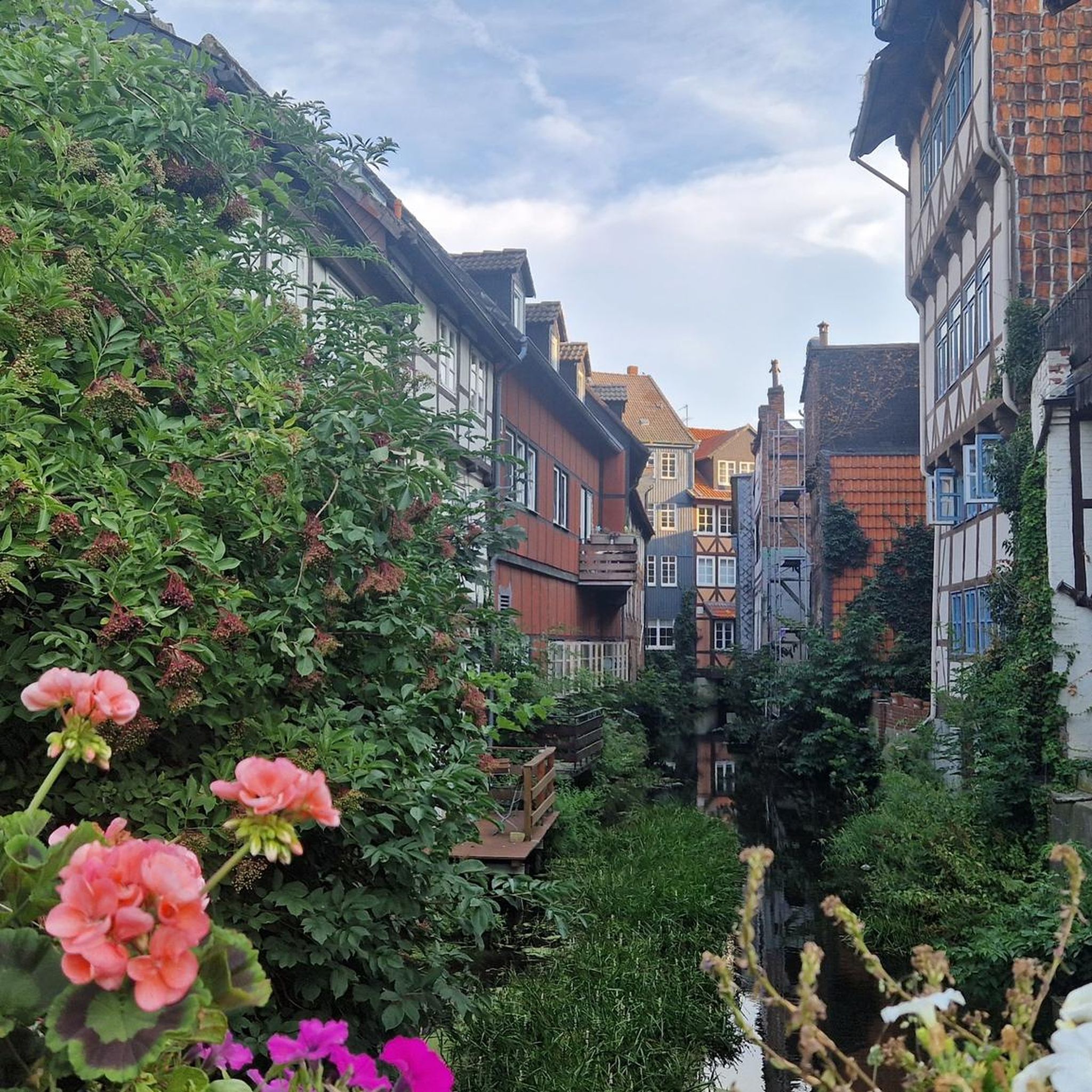
Mountain Hikes around Sonnenstein
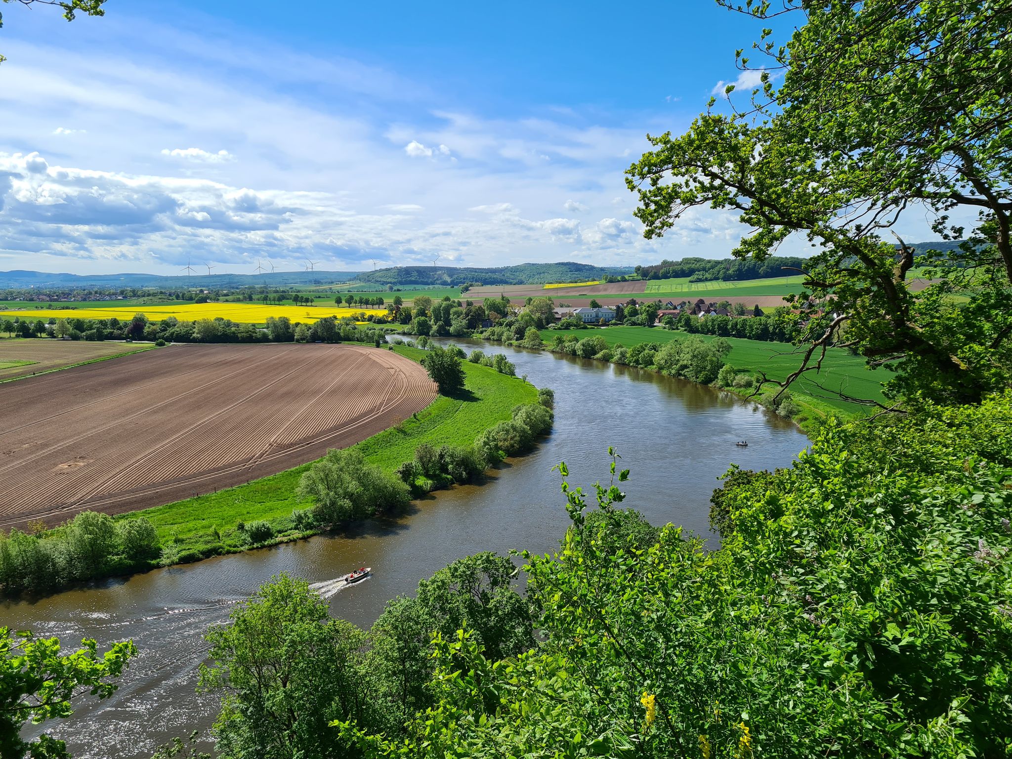
Loccum-Volkenroda pilgrim's way – From monastery to monastery
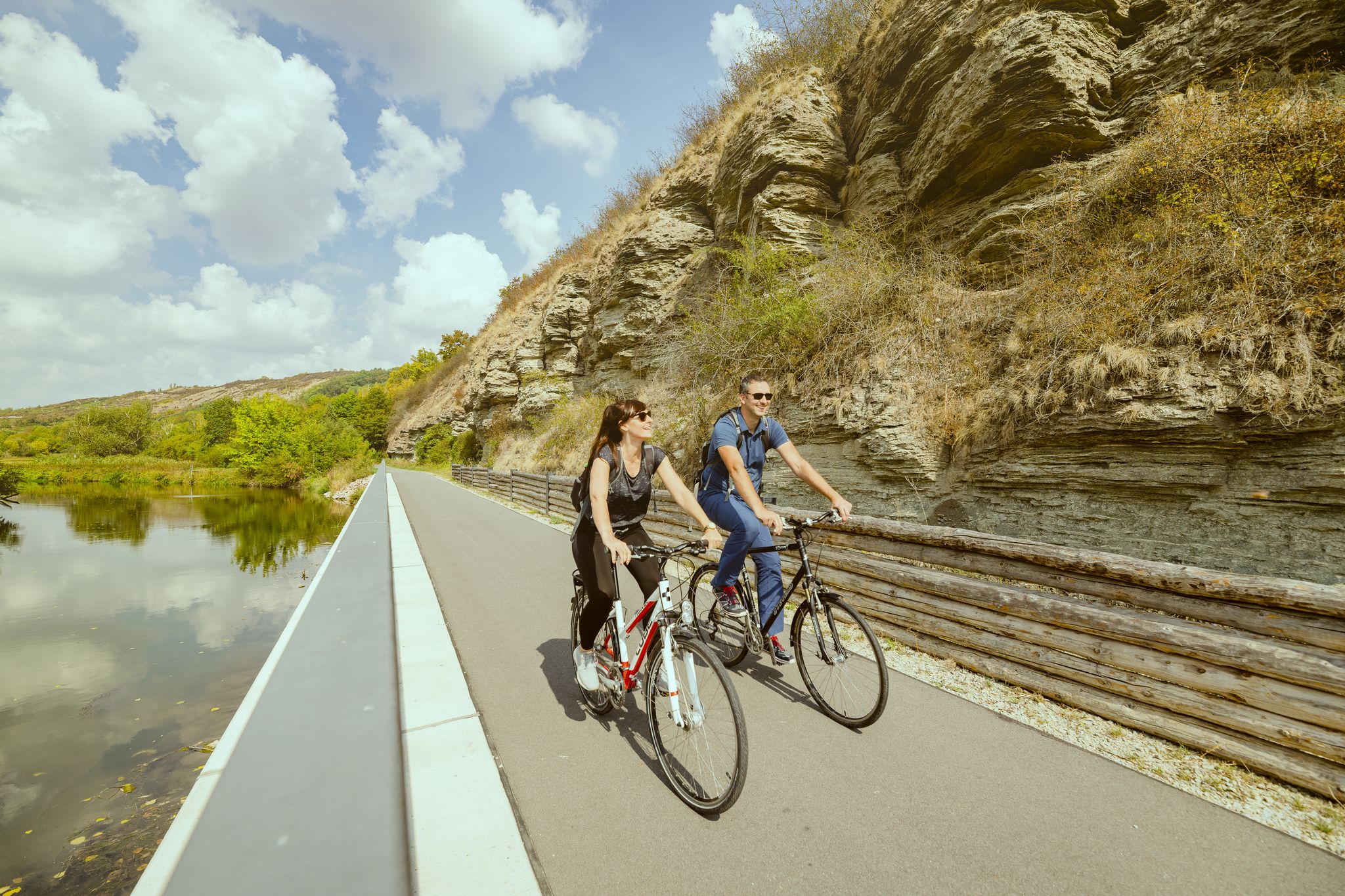
Unstrut Cycle Path – from the source in Eichsfeld to the River Saale
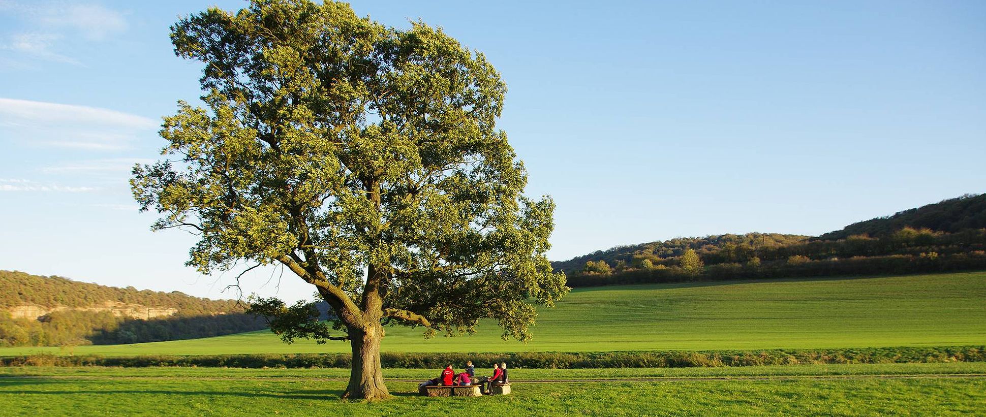
Unstrut cycle path — 4 days through Thuringia and Saxony-Anhalt
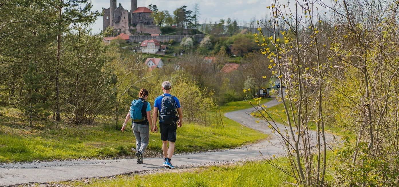
Rich history and magnificent landscapes – TOP hiking trails in Eichsfeld
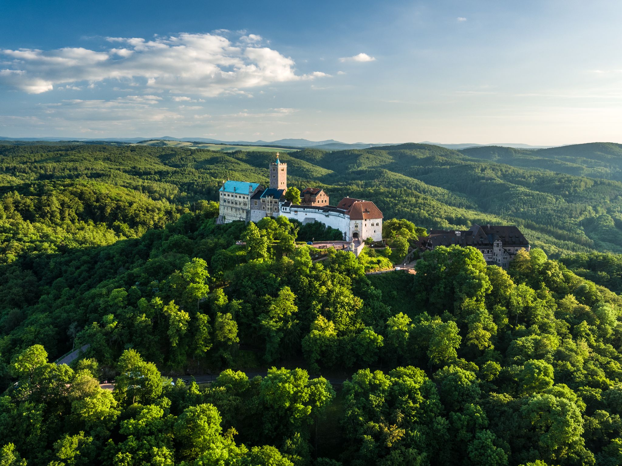
Thuringia CultureRoutes: hiking through history and nature
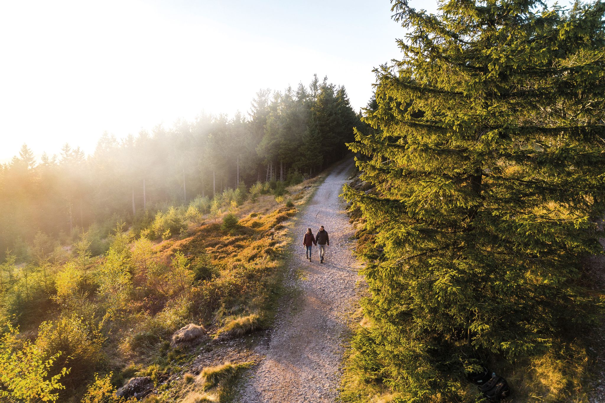
Outdoor time – hikes to help you unwind in Thuringia

Wonderful Green Band
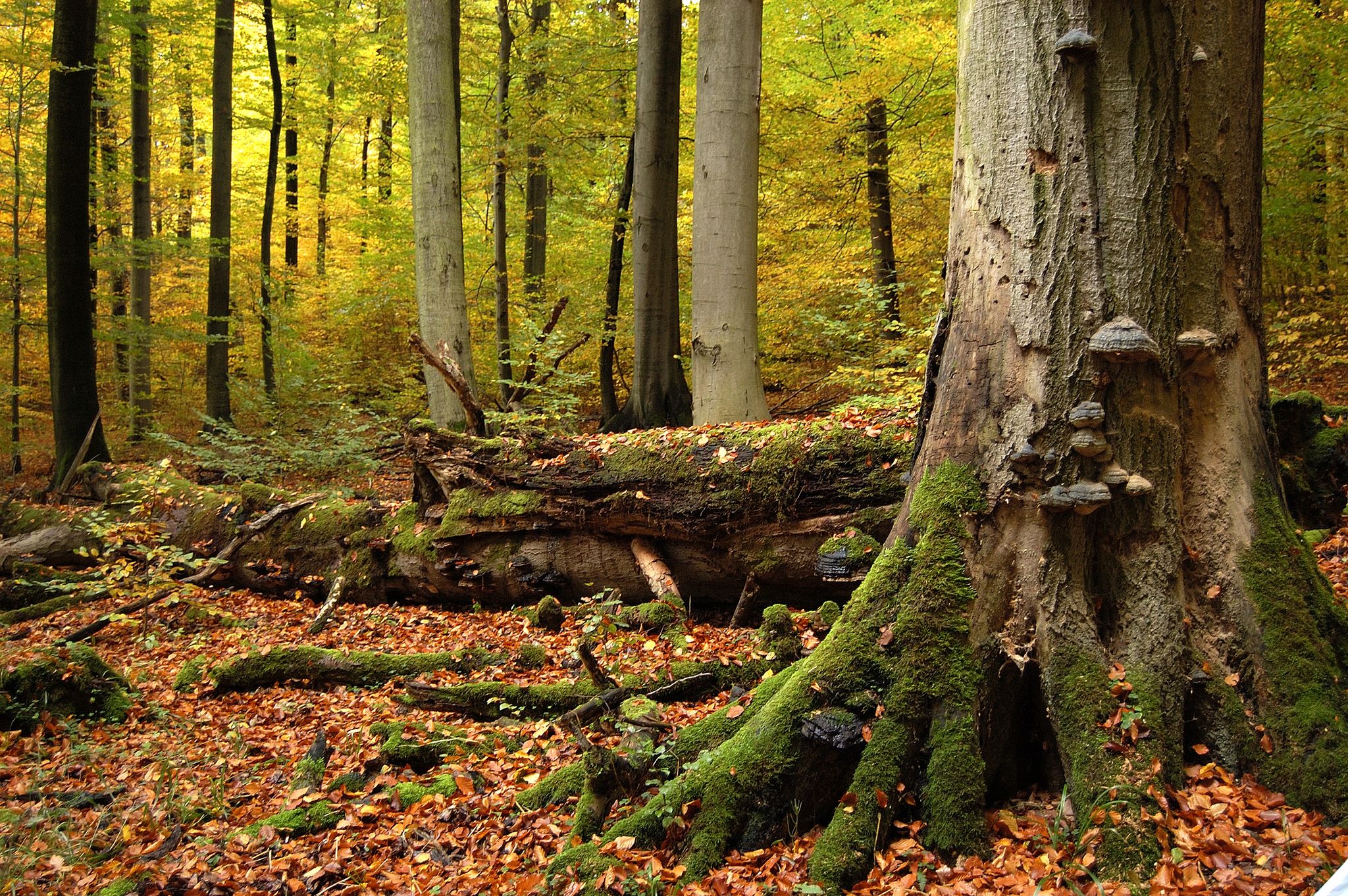
Thuringia's Primeval Forests of Tomorrow
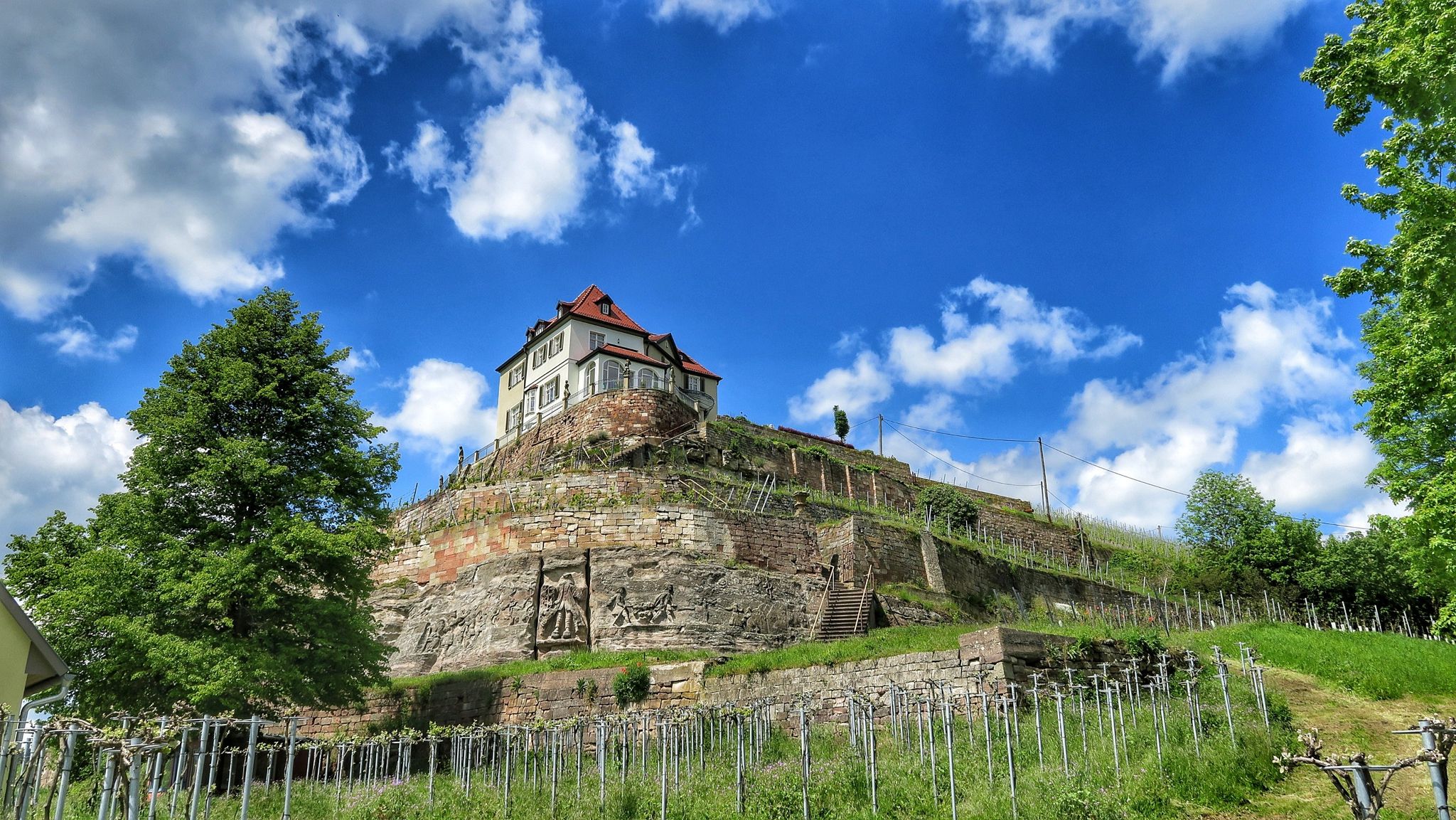
Ilmtal and Unstrut cycle paths – discover Thuringia in Germany by bike
Other adventures in Landkreis Eichsfeld


Tips from the Community

Most of the elevation gain is already behind you if you come from the direction of Lauterberg. There's a short, steep final climb, and then you reach the Knollen.
1
0

In the evening, the view of the sunset is truly amazing.
3
0

Be sure to try the thunderstorm cake!
1
0
A wonderfully old-fashioned chairlift - walking is nicer, but if you like ski nostalgia, this is the place for you.
1
0

The Knollenkreuz (480 m above sea level) is a crossroads between Bad Lauterberg and the Großer Knollen.
6
0


Bell tower in the middle of the forest
0
0
A bell tower in the forest!
0
0
Frequently Asked Questions
What kind of terrain can I expect on mountaineering routes in Landkreis Eichsfeld?
The mountaineering routes in Landkreis Eichsfeld traverse a diverse landscape characterized by gently rolling hills, dense deciduous forests, and serene river valleys. You'll encounter impressive rock cliffs and distinctive shell-limestone plateaus, particularly in the southern part of the district. The region is known for its undulating hills and extensive woodlands, offering varied terrain for outdoor activities.
Are there routes suitable for families with children?
While specific 'family-friendly' routes are not explicitly categorized, many of the moderate trails can be suitable depending on the children's age and experience. For example, the Bismarck Tower and Restaurant loop from Bad Lauterberg im Harz is a moderate 4.4-mile route that offers views towards the historic Bismarck Tower, which could be an engaging destination for families.
What are some notable viewpoints or natural features to look out for?
Landkreis Eichsfeld offers several stunning viewpoints. The Dietzenröder Stein, at nearly 500 meters, provides exceptional long-distance views across the Walse and Werra valleys. Another highlight is the Teufelskanzel, a striking rock formation. You might also encounter the Werra River Bend Trail, showcasing the region's natural beauty.
Are there any circular mountaineering routes available?
Yes, many routes in Landkreis Eichsfeld are designed as loops. For instance, the Lutter Stream – Knollenkreuz Rest Area loop from Bad Lauterberg im Harz is a moderate 6.0-mile path that follows the Lutter Stream. Another option is the more challenging Großer Knollen lookout tower – Lutter Stream loop from Bad Lauterberg im Harz, which covers nearly 20 kilometers.
What is the best time of year for mountaineering in Landkreis Eichsfeld?
The region's extensive deciduous forests make spring and autumn particularly appealing for mountaineering. In spring, you'll witness lush greenery and blooming flora, while autumn offers vibrant foliage. Summer is also suitable, though some routes might be more exposed to the sun. Winter mountaineering is possible but requires appropriate gear and caution due to potential snow and ice.
How many mountaineering routes are there in Landkreis Eichsfeld?
There are 7 mountaineering routes detailed in this guide for Landkreis Eichsfeld, offering a range of experiences from moderate to difficult. The broader region, however, boasts over 2,000 hiking routes on komoot, indicating a vast network of trails for exploration.
What do other mountaineers say about the routes in Landkreis Eichsfeld?
The routes in Landkreis Eichsfeld are highly rated by the komoot community, with an average score of 4.0 stars from over 2 reviews. Mountaineers often praise the varied terrain, the extensive deciduous forests, and the distinctive rock formations that define the region's trails.
Are there longer or more challenging routes for experienced mountaineers?
Yes, for those seeking a greater challenge, there are several difficult routes. The Großer Knollen Tower – Großer Knollen Summit loop from Bad Lauterberg im Harz is a demanding 19.4-kilometer trail with significant elevation gain. Another challenging option is the Cloverleaf – Wolfsberg loop from Fuhrbach, which spans 12.3 miles and typically takes over 5 hours to complete.
Can I bring my dog on the mountaineering routes?
Generally, dogs are welcome on most hiking and mountaineering trails in Germany, including those in Landkreis Eichsfeld. However, it's always advisable to keep your dog on a leash, especially in nature reserves or areas with wildlife, and to check local regulations for specific routes or protected areas. Ensure your dog is fit enough for the chosen route and carry enough water for both of you.
Are there any caves or unique geological formations to explore?
Yes, Landkreis Eichsfeld features several interesting caves and geological formations. You can explore the Dwarf Cave or the Dwarves' Cave. The region is also known for its shell-limestone plateaus, which contribute to its distinctive hilly terrain and rock formations.
What are the options for parking near the trailheads?
While specific parking information for each trailhead is not provided here, most popular hiking regions in Germany, including Landkreis Eichsfeld, offer designated parking areas near trail access points. It's recommended to check the starting point of your chosen route on komoot for more detailed parking suggestions or local signage upon arrival.
Are there any routes that feature water bodies like rivers or reservoirs?
Yes, some routes incorporate water features. For example, the The Kuckans Valley – Steina Reservoir loop from Bad Sachsa is a moderate 13.4-kilometer route that includes the Steina Reservoir. The region is also home to the Werra River, which originates in Eichsfeld and offers scenic views along its course.
What is the general difficulty level of mountaineering in Landkreis Eichsfeld?
Mountaineering in Landkreis Eichsfeld offers a range of difficulty levels. This guide features 4 moderate and 3 difficult routes. The terrain is characterized by rolling hills and forests, with ascents that can be challenging on longer routes, but generally, it's more about strenuous hiking than technical climbing.
Most popular routes in Landkreis Eichsfeld
Most popular attractions in Landkreis Eichsfeld

Get inspired with the komoot mobile app


Didn’t find what you were looking for?
Check out more Mountain Hikes & Routes throughout Landkreis Eichsfeld below and find the perfect route in your destination.
Explore more
Browse the best Mountain Hikes & Routes in other regions.
