The best road cycling routes around Fromentières
5.0
(1)
58
riders
7
rides
Road cycling routes around Fromentières offer a varied landscape characterized by gently rolling terrain and a slightly hilly relief, providing engaging experiences without overly strenuous climbs. The region features a dense bocage landscape and the scenic Mayenne River, which includes well-maintained towpaths suitable for cycling. The elevation in Fromentières ranges from 27 to 96 meters, with an average of 54 meters, offering gentle inclines and descents. Cyclists can also explore areas around the Étang de La Roche and the Bois…
Last updated: July 1, 2026
7
riders
54.5km
02:34
470m
470m
Moderate road ride. Good fitness required. Mostly well-paved surfaces and easy to ride.
4
riders
60.2km
02:54
770m
770m
Moderate road ride. Good fitness required. Mostly well-paved surfaces and easy to ride.

Sign up for free
2
riders
36.5km
01:37
320m
320m
Moderate road ride. Good fitness required. Mostly well-paved surfaces and easy to ride.
4
riders
74.8km
03:27
730m
730m
Moderate road ride. Good fitness required. Mostly well-paved surfaces and easy to ride.
3
riders
48.1km
02:10
440m
440m
Moderate road ride. Good fitness required. Mostly well-paved surfaces and easy to ride.
Get access to more routes and recommendations from other explorers.
Sign up for free
Already have an account?
Our route recommendations are based on thousands of hikes, rides, and runs completed by other people on komoot.
Start today with a free account
Your next adventure awaits.
Login or Signup


Tips from the Community

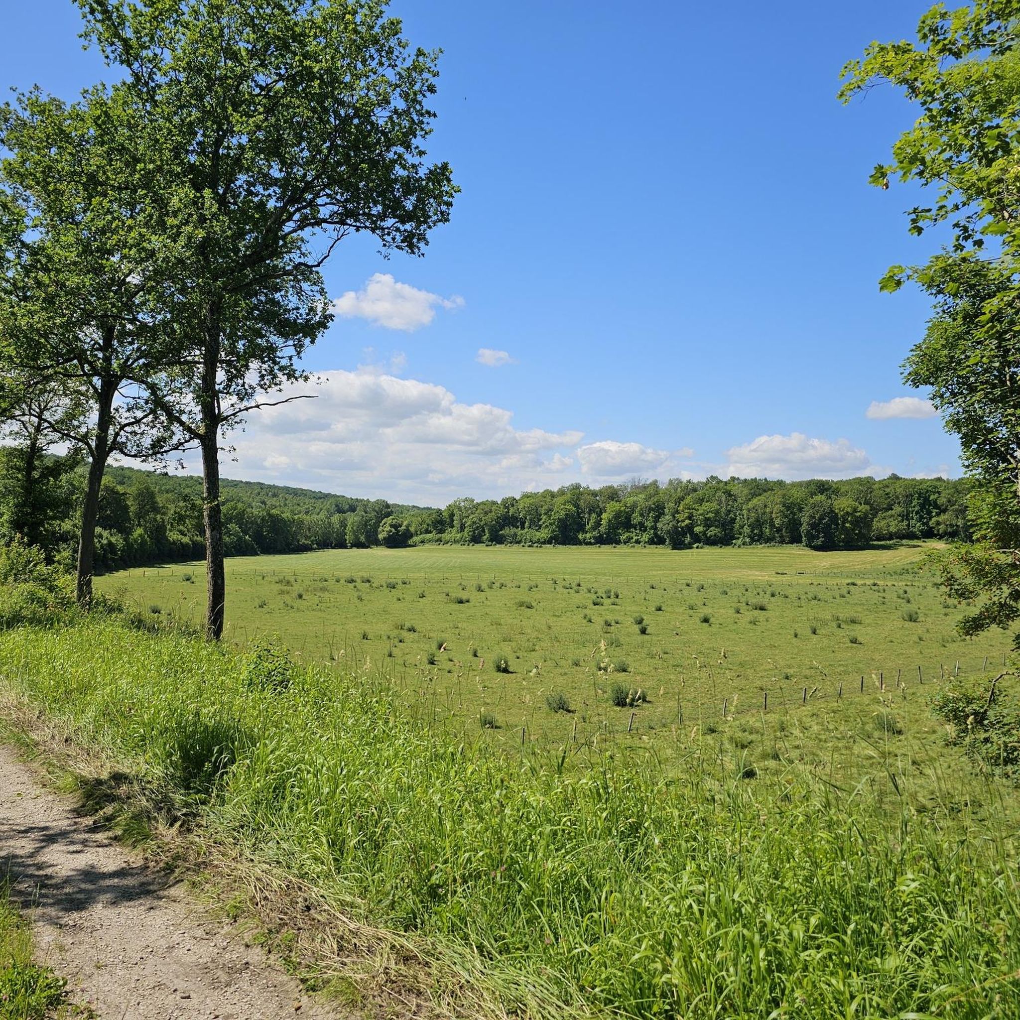
Beautiful view of Champagne, some passages at 13/14°.
0
0

A hill with an altitude of 240 meters. It offers beautiful panoramic views of the Côte des Blancs vineyards, the surrounding villages and the fields.
0
0
A somewhat dilapidated but nevertheless charming church, which knows how to inspire through the details. Entrance is free, photography is allowed and don't expect crowds of visitors.
0
0
These marshes are renowned for their ecological wealth. They cover the territory of 1700 ha. Sturdy shoes and waterproof spray recommended, although it is not necessary to cross the swamp, there is a trail. Avoid on particularly rainy days.
0
0
You can visit this abbey if you call in advance, more info here: https://www.abbayedureclus.fr/
0
0
A view of a traditional village through the vineyards.
0
0
A flat road in the forest in the shade, generally quiet and without many cars.
0
0
Very beautiful Romanesque church. Very beautiful organ. The most spectacular are the crypts which you should not hesitate to discover: they are very well preserved. A very beautiful room is dedicated to Saint Anne. You can also discover an ancient sarcophagus. You can also see swans in the pond in front of the church.
1
1
Frequently Asked Questions
What kind of terrain can I expect when road cycling around Fromentières?
The Fromentières area is characterized by a gently rolling terrain with a slightly hilly relief. This provides varied routes that are engaging without being overly strenuous, offering a mix of steady rides and some challenging ascents through the rural landscape of Southern Mayenne.
Are there any easy road cycling routes suitable for beginners or families in Fromentières?
Yes, for easier rides, the well-maintained 'chemin de halage' (towpath) along the Mayenne River offers flat, scenic routes. These are ideal for relaxed rides and family outings, allowing you to enjoy the water, locks, and old mills without significant climbs.
What are the main scenic highlights I can expect to see on a road cycling route near Fromentières?
Road cycling routes around Fromentières showcase the region's natural beauty, including the dense bocage (hedgerow landscape) and the picturesque Mayenne River. You can also discover areas around the Étang de La Roche (pond) and the Bois du Puy (wood), adding to the diverse rural scenery.
Are there any historical sites or landmarks to explore along the road cycling routes?
Absolutely. The region is rich in history. Some routes pass by notable historical sites such as the Château de Beaubigné, a former seigniorial dwelling, and the Saint-Pierre church in Fromentières. Other châteaux like Grand-Coulonges and La Cour also dot the landscape, offering cultural interest during your ride.
What is the best time of year for road cycling in Fromentières?
The gently rolling terrain and scenic paths make Fromentières enjoyable for road cycling across multiple seasons. Spring and autumn generally offer pleasant temperatures and beautiful scenery. Summer is also suitable, especially for rides along the shaded towpaths.
Are there options for longer or more challenging road cycling routes?
While the terrain is generally gently rolling, the slightly hilly relief allows for routes with more challenging ascents, providing an engaging experience for those seeking a more demanding ride. The region offers a good balance for various ability levels.
Can I find circular road cycling routes in the Fromentières area?
Yes, many of the road cycling routes around Fromentières are designed as loops, allowing you to start and finish at the same point. This makes planning your ride convenient, whether you're exploring the countryside or following the river.
Is Fromentières well-connected for cyclists using public transport?
While specific public transport options directly to Fromentières for bikes might be limited, the town is only 7 km from Château-Gontier-sur-Mayenne, a larger town that may offer more comprehensive public transport links. It's advisable to check local transport schedules for bike carriage policies.
Where can I find parking for my car when starting a road cycling route in Fromentières?
Fromentières, being a commune, typically offers local parking options within the village or near popular starting points for trails. For more extensive parking facilities, the nearby town of Château-Gontier-sur-Mayenne, just 7 km away, would also be a good option.
What do other road cyclists enjoy most about cycling in Fromentières?
Road cyclists often praise the varied yet accessible terrain, which allows for both relaxed rides along the Mayenne River and more undulating routes through the countryside. The combination of natural beauty, such as the dense bocage, and historical sites like the Château de Beaubigné, also adds significant appeal.
Are there any cafes or pubs along the road cycling routes in Fromentières?
While Fromentières itself is a smaller commune, you may find local establishments. For more options, the nearby town of Château-Gontier-sur-Mayenne, just 7 km away, offers a wider selection of cafes, pubs, and amenities where cyclists can refuel and relax.
How many road cycling routes are available around Fromentières?
Komoot features a selection of road cycling routes around Fromentières, offering various options for exploring the region's diverse landscape. There are several routes available, catering to different preferences and skill levels.
Most popular attractions around Fromentières

Get inspired with the komoot mobile app


Explore more
Browse the best Road cycling routes in other regions.
