The best cycling routes around Serra-Di-Scopamène
4.6
(98)
1,492
riders
45
rides
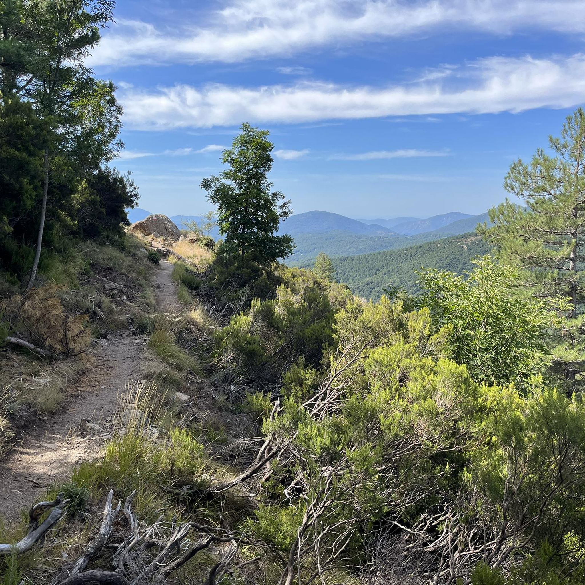
Touring cycling routes around Serra-Di-Scopamène traverse a varied landscape within Corsica's Alta Rocca region. The area features the Rizzanese valley to the south and the upper Codi valley to the north, creating diverse relief. Cyclists encounter a transition from valleys to mountainous terrain, including granite peaks like Punta di Cuciurpula. Traditional villages and ancient chestnut groves are also characteristic of the region's physical features.
Best touring cycling routes around Serra-Di-Scopamène
- The most popular touring cycling route is Bavella Panoramic Route…
Last updated: June 28, 2026
4.9
(13)
171
riders
107km
07:31
2,100m
2,100m
Hard bike ride. Very good fitness required. Mostly paved surfaces. Suitable for all skill levels.
4.9
(21)
155
riders
75.9km
05:55
1,640m
1,640m
Hard bike ride. Very good fitness required. You may need to push your bike for some segments of this route.

Sign up for free
4.6
(16)
225
riders
62.3km
05:05
1,950m
1,950m
Hard bike ride. Very good fitness required. Mostly paved surfaces. Suitable for all skill levels.
5.0
(3)
46
riders
60.5km
04:06
1,040m
1,040m
Hard bike ride. Very good fitness required. Mostly paved surfaces. Suitable for all skill levels.
4.3
(3)
67
riders
30.4km
02:35
790m
790m
Hard bike ride. Very good fitness required. Mostly paved surfaces. Suitable for all skill levels.
Get access to more routes and recommendations from other explorers.
Sign up for free
Already have an account?
Our route recommendations are based on thousands of hikes, rides, and runs completed by other people on komoot.
Start today with a free account
Your next adventure awaits.
Login or Signup
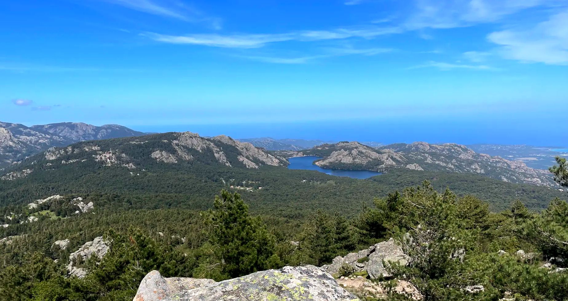
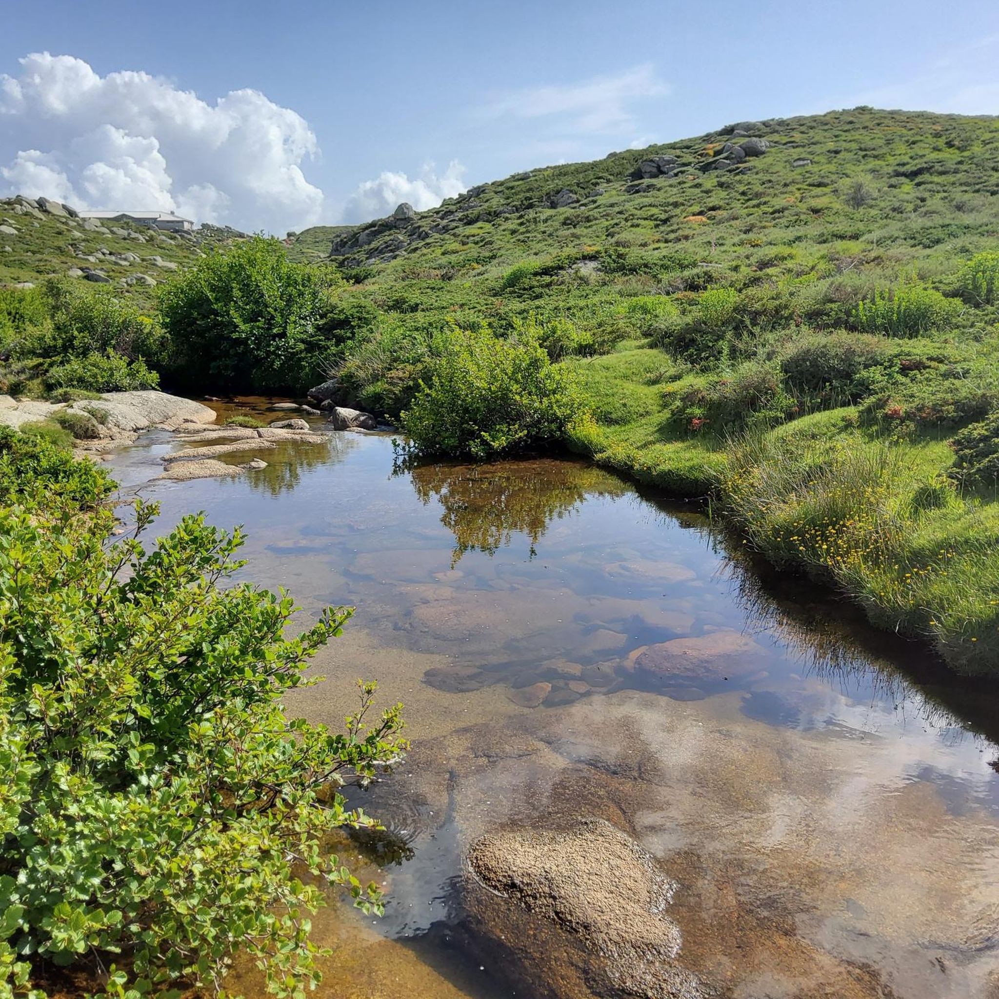
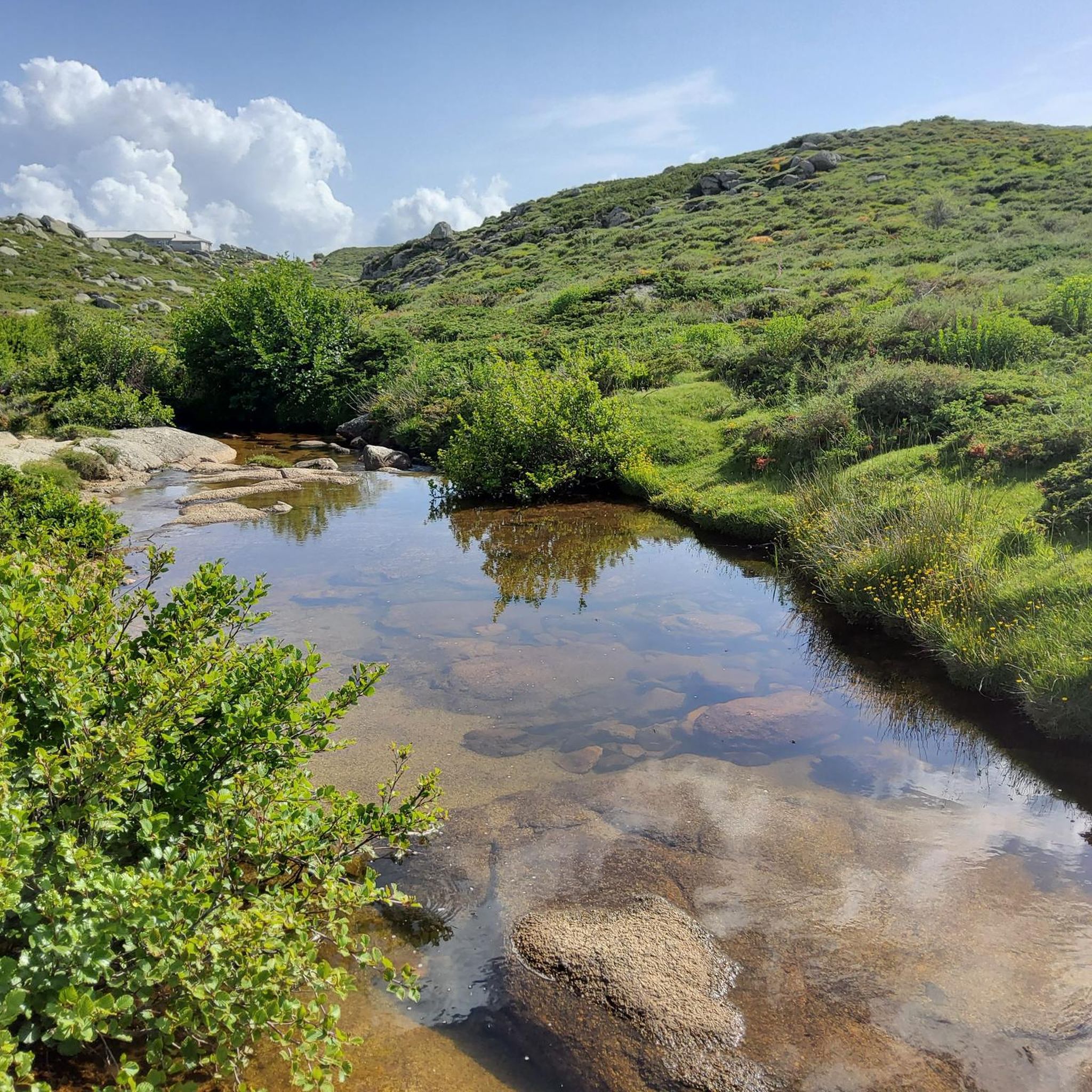
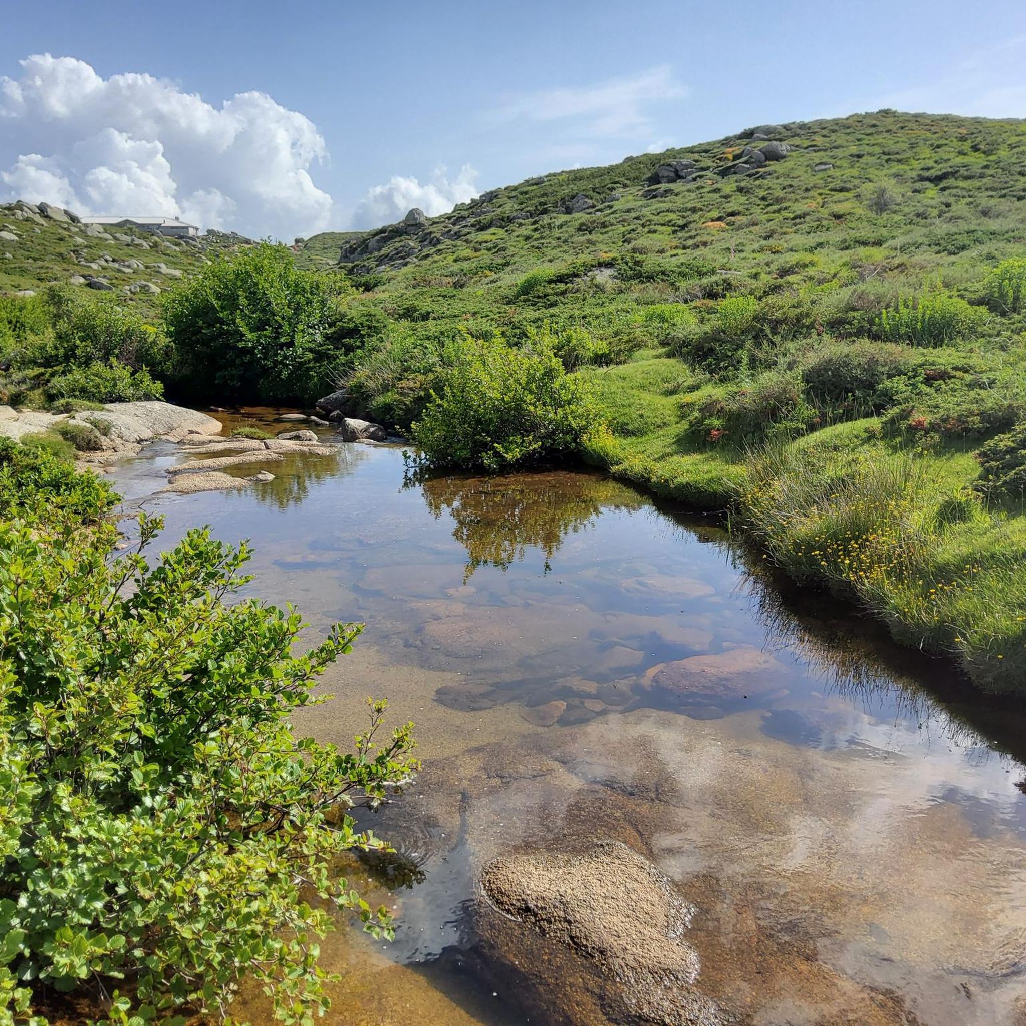

Other adventures around Serra-Di-Scopamène

Tips from the Community

super mega pretty round
2
0
Frequently Asked Questions
How many touring cycling routes are available around Serra-Di-Scopamène?
There are over 40 touring cycling routes around Serra-Di-Scopamène. These routes traverse a varied landscape within Corsica's Alta Rocca region, offering diverse experiences for cyclists.
What is the typical difficulty level for touring cycling routes in this region?
Most touring cycling routes in Serra-Di-Scopamène are considered difficult, with 31 out of 41 routes falling into this category. The terrain often involves challenging ascents and varied relief, characteristic of Corsica's mountainous interior. There are also 10 moderate routes, but no easy routes are listed.
Are there any circular touring cycling routes in Serra-Di-Scopamène?
Yes, many routes in the region are designed as loops. For example, the Bavella Panoramic Route – Bavella Pass loop from Punta di Poggio Grosso is a challenging 78.3 km circular trail offering expansive views. Another option is the Bavella Pass – Bavella Pass loop from Quenza, a 32 km difficult path with challenging ascents.
What kind of terrain and elevation can I expect on these touring cycling routes?
The region features a diverse landscape, transitioning from deep valleys to mountainous terrain. You can expect significant elevation changes, with routes like the Bavella Panoramic Route – Bavella Pass loop from Punta di Poggio Grosso involving over 1600 meters of ascent. The area includes granite peaks like Punta di Cuciurpula and ancient chestnut groves, providing varied scenery.
What are some notable landmarks or natural features I can see along the touring cycling routes?
The routes offer access to several significant landmarks and natural features. You can encounter the Bavella Pass, known for its dramatic scenery, and the Trou de la Bombe Rock Arch. The Purcaraccia Pools are also a popular natural attraction in the vicinity. The region also boasts traditional villages and historical sites like the ruins of a 'casteddu' (fortress) above the village.
Are there any routes that pass by waterfalls?
Yes, the Col de Vaccia – Zicavo Waterfalls loop from Bucchinera is a 76.5 km difficult trail that leads through valleys and varied relief, specifically featuring the Zicavo Waterfalls. This route offers a chance to experience the region's natural beauty.
What do other touring cyclists enjoy most about cycling in Serra-Di-Scopamène?
The area is highly rated by the komoot community, with an average score of 4.6 stars from over 100 reviews. Cyclists often praise the varied terrain, the challenging ascents, and the expansive panoramic views of the Alta Rocca region. The combination of physical challenge and cultural discovery is a significant draw.
What is the best time of year for touring cycling in Serra-Di-Scopamène?
While specific seasonal recommendations aren't provided, Corsica is generally considered a cyclist's dream, offering a wide range of landscapes. Given the mountainous terrain and potential for challenging conditions, spring and autumn are often ideal for cycling in Corsica, offering milder temperatures than the peak summer heat.
Are there any family-friendly touring cycling options in the area?
The majority of touring cycling routes around Serra-Di-Scopamène are rated as difficult or moderate, with no easy routes listed in the guide data. However, the 'Serra di Scopamena Heritage Trail' is described as an easy walk that highlights local culture, which could potentially be explored by families on touring or hybrid bikes suitable for mixed surfaces, though it's not explicitly a dedicated cycling route.
Where can I find parking for touring cycling routes in Serra-Di-Scopamène?
While specific parking locations are not detailed for each route, Serra-Di-Scopamène is a village with several hamlets. It is generally advisable to look for parking within or near these hamlets, such as Acqua Fritta, Vangonu, or Chiesa, which serve as starting points for many local trails and routes. Always check local signage for parking regulations.
Are there any routes that pass by a reservoir or dam?
Yes, the Ospedale Reservoir – Ospedale Dam loop from Levie is a 60.5 km difficult route that takes you past the Ospedale Reservoir and its dam. This offers a different type of scenic experience compared to the mountainous passes.
Can I find cafes or places to rest along the touring cycling routes?
The region includes traditional villages like Serra-Di-Scopamène itself, composed of picturesque hamlets. While specific cafes are not listed, these villages, including Chiesa, are likely places to find local amenities for rest and refreshments. Planning your route to pass through these villages would be beneficial for breaks.
Most popular attractions around Serra-Di-Scopamène

Get inspired with the komoot mobile app


Explore more
Browse the best Cycling routes in other regions.
