The best running trails around Aebtissinwisch
4.2
(51)
883
runners
131
runs
Jogging routes around Aebtissinwisch offer a variety of running experiences across a generally flat landscape. The region is characterized by low elevation gains, with most routes featuring minimal ascent, making it suitable for runners seeking less strenuous paths. Many running routes follow waterways or traverse open countryside, providing a consistent and accessible terrain for various fitness levels.
Best jogging routes around Aebtissinwisch
- The most popular jogging route is Running loop from Neuendorf-Sachsenbande, Goldbogen, a 4.3 miles (6.9 km) trail that takes 42 minutes to complete. This moderate route features very little elevation gain, making it a smooth run.
- Another top favourite among local runners is View of the Kiel Canal – View of Klein Westerland Beach loop from Hochdonn, a moderate 7.2 miles (11.6 km) path. This route offers views of the Kiel Canal and coastal scenery.
- Local runners also love the Burg (Dithmarschen) loop from Burg (Dithmarschen), a 4.3 miles (6.9 km) trail leading through the town of Burg (Dithmarschen), often completed in about 44 minutes.
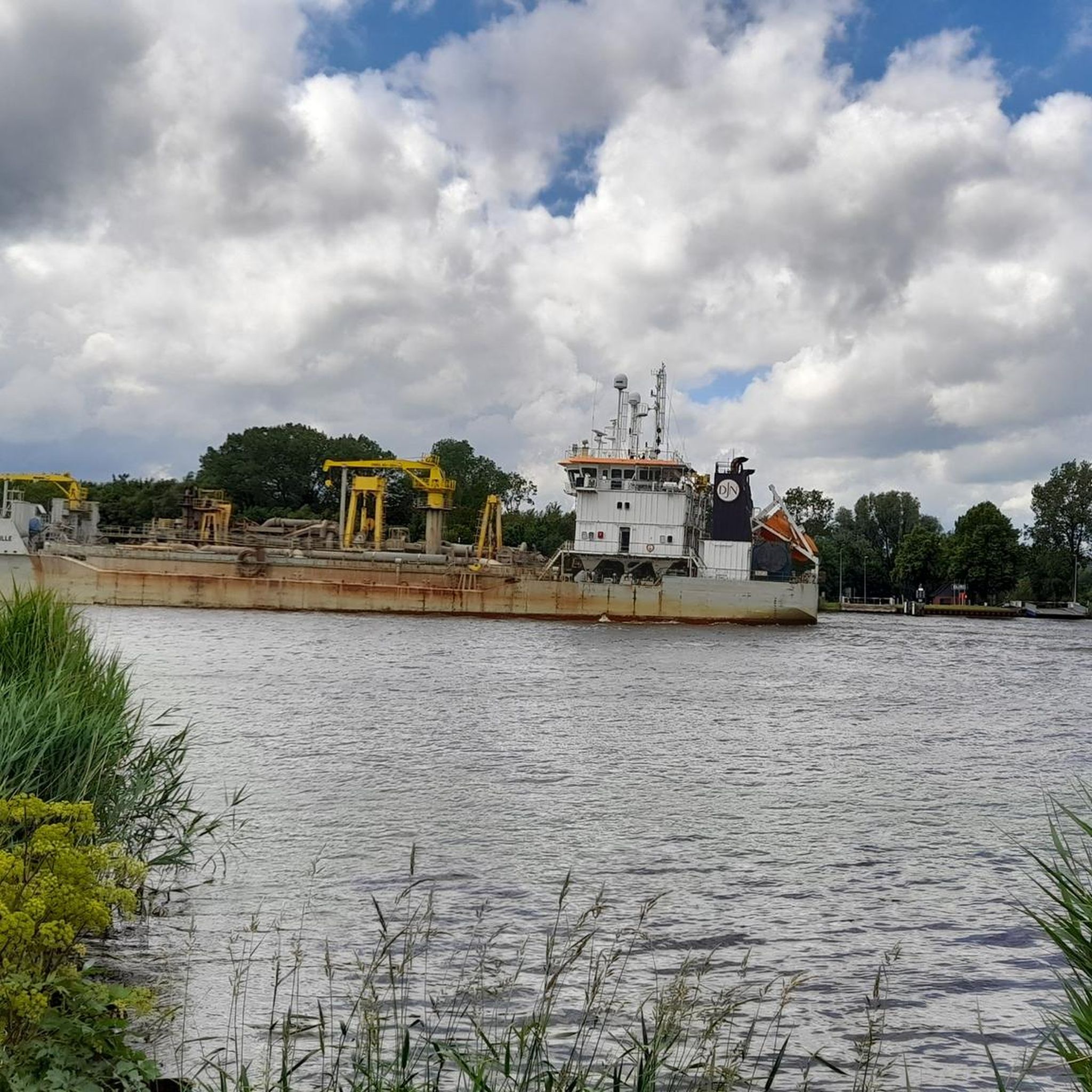
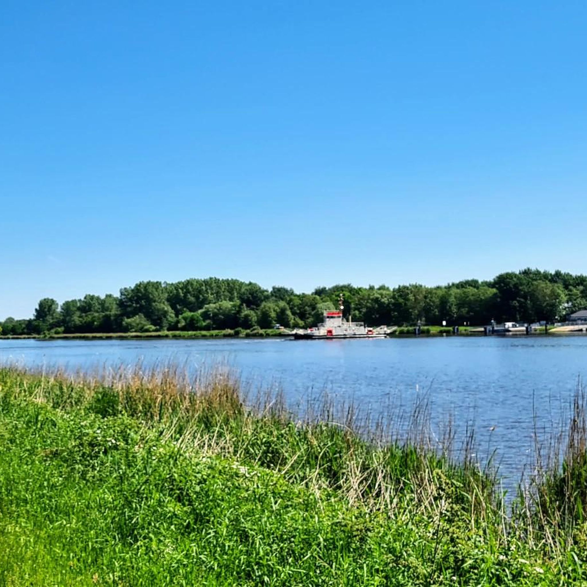
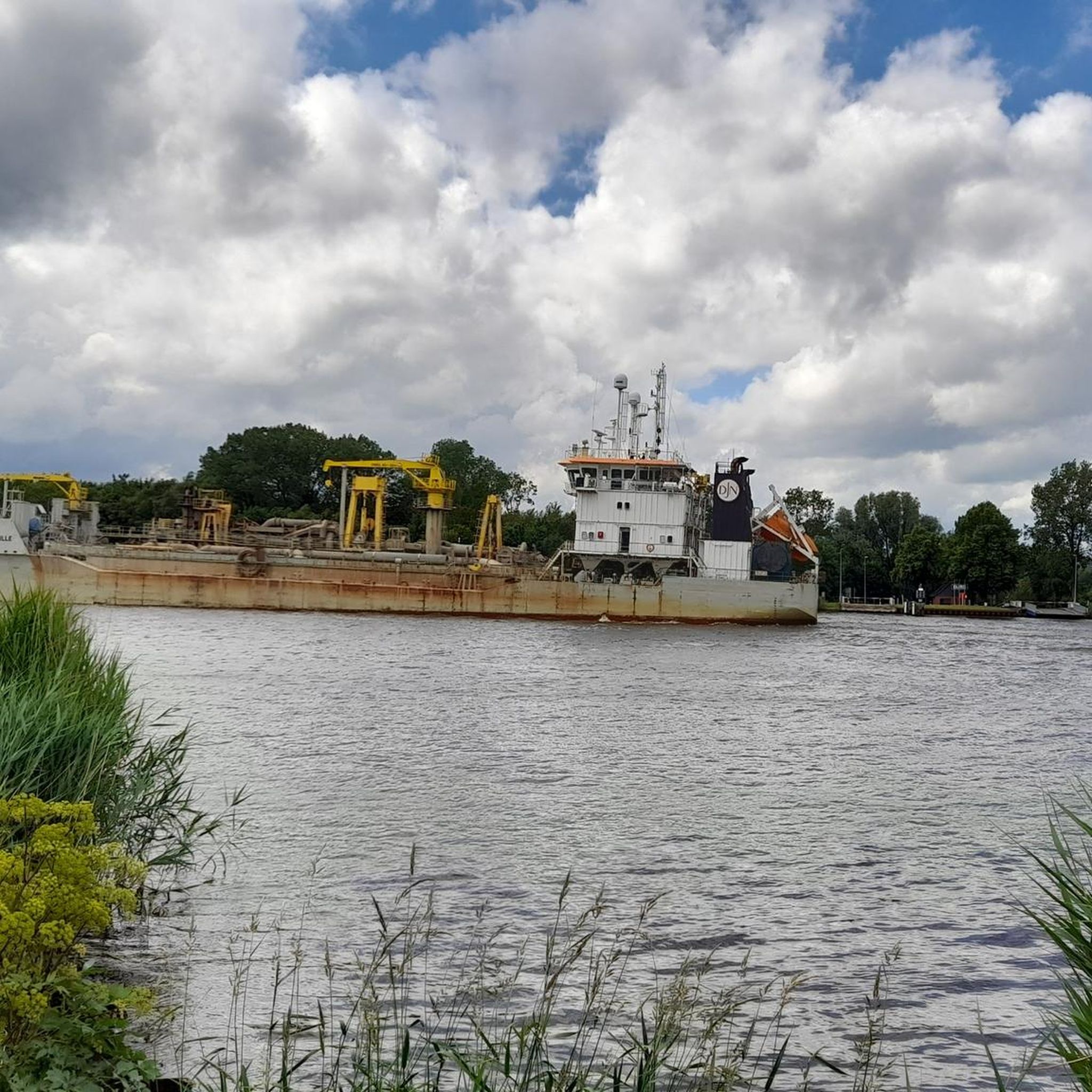
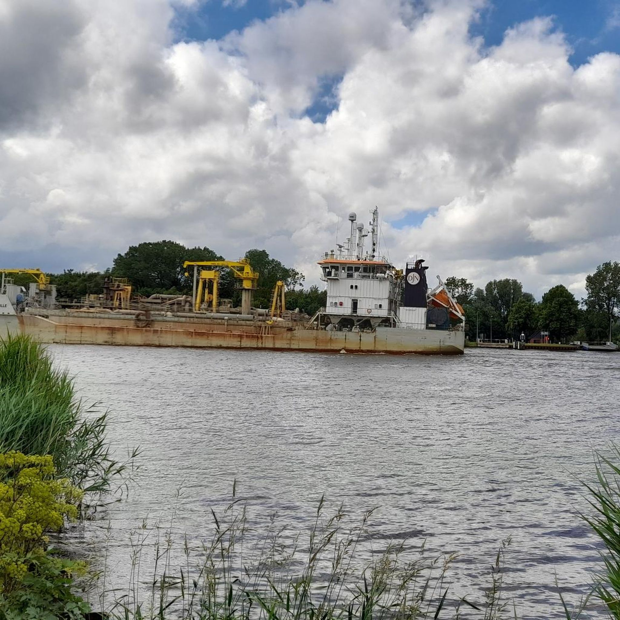
- Jogging around Aebtissinwisch is defined by open fields, quiet village paths, and routes alongside canals. The network offers options for easy jogging routes for beginners as well as moderate and more challenging long distance running trails.
- The routes in Aebtissinwisch are highly rated by the komoot community with an average score of 4.2 stars from over 40 reviews. More than 800 runners have used komoot to explore Aebtissinwisch's varied terrain.
Last updated: August 25, 2026
5.0
(2)
12
runners
Moderate run. Good fitness required. Mostly paved surfaces. Suitable for all skill levels.
5.0
(1)
9
runners
Moderate run. Good fitness required. Mostly paved surfaces. Suitable for all skill levels.

Sign up for free
6
runners
Hard run. Very good fitness required. Mostly paved surfaces. Suitable for all skill levels.
5.0
(2)
6
runners
Moderate run. Good fitness required. Mostly paved surfaces. Suitable for all skill levels.
4
runners
9.15km
01:00
50m
50m
Moderate run. Good fitness required. Mostly paved surfaces. Suitable for all skill levels.
Get access to more routes and recommendations from other explorers.
Sign up for free
Already have an account?
Our route recommendations are based on thousands of hikes, rides, and runs completed by other people on komoot.
Start today with a free account
Your next adventure awaits.
Login or Signup
Tips from the Community

The Paradiestal was formed by the difference in elevation between the higher Geest (forested dune landscape) and the lower Klevfuß, on the border with Wilstermarsch. This created a flat, gently sloping valley, which is now traversed by a natural spring watercourse and surrounded by forest and meadow areas. The area is considered a quiet hiking and nature experience part of the „Naturerlebnisregion Burg“: the circular hiking trail No. 6 leads through the Paradiestal, among other things, along biotopes, a mixed orchard and forest, past the so-called upper Klevhang.
0
0
The Old Harbor of Burg looks back on a long history. It was once an important transshipment point for shipping in Dithmarschen and shaped life in the town for many decades. Today, the calm lake is reminiscent of the time of sailors and boatmen and makes the past of the place still palpable.
1
0
The Old Country Pharmacy on the market square in Burg Dithmarschen is a historical gem with a unique history that lives on today in a museum. The royally privileged pharmacy was originally founded in 1839 in a roughly 200-year-old building on the market square in Burg. The building is often described as picturesque, with blue wooden doors in a white house surrounded by old linden trees. The pharmacy's historical inventory was later closed (the pharmacy itself closed in 2010) and reconstructed as a pharmacy museum on the upper floor of the local history museum, DITMARSIUM (Große Mühlenstraße 6), and opened to the public.
0
0
The interior of the ring wall is occupied by the old Burg cemetery. The castle is associated with a legend according to which, in 1145 AD, Count Rudolf of Stade and his wife Walburga were murdered by peasants who had treacherously entered the castle. The old cemetery has been located within the historic ramparts of Bökelnburg since 1818. The graves and cemetery paths are situated within the ring wall. The unique combination of an early medieval defensive structure and a place of final rest makes this cemetery a historically and scenically significant site. The high, tree-covered rampart encircles the cemetery like a natural protective cloak. The only entrance gate of the former castle was probably located on the site of the present-day cemetery chapel.
0
0
Bökelnburg Castle and its cemetery form an exceptional and historically significant ensemble in Burg. Bökelnburg is one of the best-preserved early medieval ringforts in Schleswig-Holstein and is considered the namesake of the town of Burg. It was probably built at the end of the 8th or beginning of the 9th century and served as an important defensive fortification and refuge for the Saxon population against raids by Vikings, Slavs, and Franks. It is an impressive earthwork, which still stands approximately six meters high. The site is strategically located on the high edge of the geest (glacial upland), offering a panoramic view across the Wilster marshland and the Kiel Canal. A circular path runs along the top of the rampart, providing beautiful vistas.
0
0
Before Burg had a modern central water supply, public wells like the Bauern-Soot (Farmers' Well) were vital for the population, especially for the farmers (hence the name "Bauern-Soot"). 1839/40: A pump was installed. Its use was regulated: Each person received a key to open the lock on the pump handle. 1910: A new wooden pump handle was acquired. 1922: This was replaced by an iron pump.
1
0
The forest adventure trail is part of the Burger recreational forest and is located in the immediate vicinity of the Burger Forest Museum on the Wulffsboom hill. It offers a wonderful opportunity to explore nature in a playful and educational way. It was opened in 2015 as part of the "99 Favorite Green Spaces in the Hamburg Metropolitan Region" campaign.
1
0
The Herthateich pond is the ideal place to experience Burg's unusual topography (forest and hills in the heart of Dithmarschen). It combines nature (orchard), culture (open-air stage), and history (Bökelnburg Castle) in a very small area. The Herthateich is located in the center of the health resort of Burg. The area is characterized by a strong contrast to the otherwise rather flat marsh landscape of Dithmarschen. Because Burg lies on the geest (a ridge), the area around the pond is hilly and wooded, giving it an almost fairytale-like, sheltered atmosphere.
0
0
Frequently Asked Questions
How many running routes are available in Aebtissinwisch?
There are over 130 running routes around Aebtissinwisch listed on komoot, offering a wide variety of experiences for all fitness levels.
Are there easy running routes for beginners in Aebtissinwisch?
Yes, Aebtissinwisch is well-suited for beginners, with 15 easy routes that feature minimal elevation gain. The generally flat landscape makes it ideal for those new to running or looking for a less strenuous jog.
Can I find long-distance running trails around Aebtissinwisch?
Absolutely. For those seeking a longer challenge, routes like the Christianslust Railway Bridge – Hoper Mill Edda loop from Kuden offer distances up to 20.6 km (12.8 miles), providing a more extensive running experience.
What kind of scenery can I expect on the jogging routes in Aebtissinwisch?
The running routes in Aebtissinwisch are characterized by open fields, quiet village paths, and scenic stretches alongside canals. You can also find routes that offer views of the Kiel Canal, such as the View of the Kiel Canal – View of Klein Westerland Beach loop from Hochdonn.
Are there any interesting landmarks or attractions to see while running in Aebtissinwisch?
Yes, the region offers several points of interest. You might encounter impressive structures like the Hochdonn Ferry and Railway Bridge on the Kiel Canal or the Hochdonn Railway Bridge. For natural sights, consider exploring areas near the Lowest Point in Germany or the St. Margarethen Outer Dike Nature Reserve.
What do other runners enjoy most about jogging in Aebtissinwisch?
The running routes in Aebtissinwisch are highly rated by the komoot community, with an average score of 4.2 stars from over 40 reviews. Runners often praise the varied terrain, which includes open fields and canal-side paths, and the accessibility for different fitness levels.
Are there circular running routes available in Aebtissinwisch?
Yes, many of the running routes in Aebtissinwisch are loops, allowing you to start and finish in the same location. An example is the Burg (Dithmarschen) – Paradiestal Pond loop from Burg (Dithmarschen), which is a moderate 11 km (6.8 miles) route.
Is Aebtissinwisch suitable for family-friendly running?
Given the region's generally flat landscape and numerous easy to moderate routes, Aebtissinwisch is very suitable for family-friendly running. The low elevation gains make many paths accessible and enjoyable for all ages.
What is the typical elevation gain on running routes in Aebtissinwisch?
Aebtissinwisch is known for its generally flat landscape. Most running routes feature minimal elevation gain, with many popular trails having less than 30 meters (100 feet) of ascent, making them comfortable for sustained running.
Are there any running routes that go through towns or villages?
Yes, some routes incorporate urban elements. For instance, the Burg (Dithmarschen) loop from Burg (Dithmarschen) takes you through the town of Burg (Dithmarschen), offering a mix of natural and village scenery.
How long does it typically take to complete a running route in Aebtissinwisch?
Running times vary depending on the route and your pace. For example, a popular moderate route like the Running loop from Neuendorf-Sachsenbande, Goldbogen, which is 6.9 km (4.3 miles), typically takes about 42 minutes to complete.
Most popular attractions around Aebtissinwisch

Get inspired with the komoot mobile app


Explore more
Browse the best Running Trails & Routes in other regions.
