The best road cycling routes around Vignevieille
4.5
(24)
353
riders
20
rides
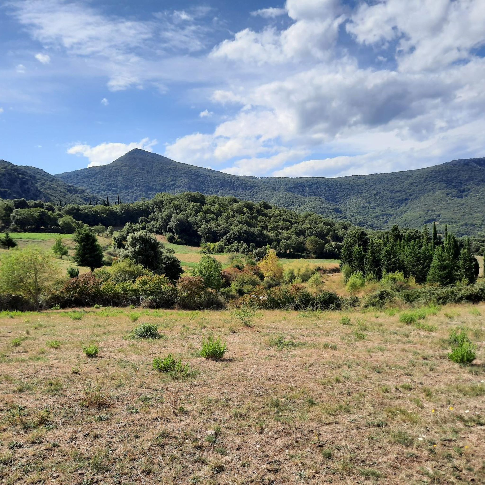
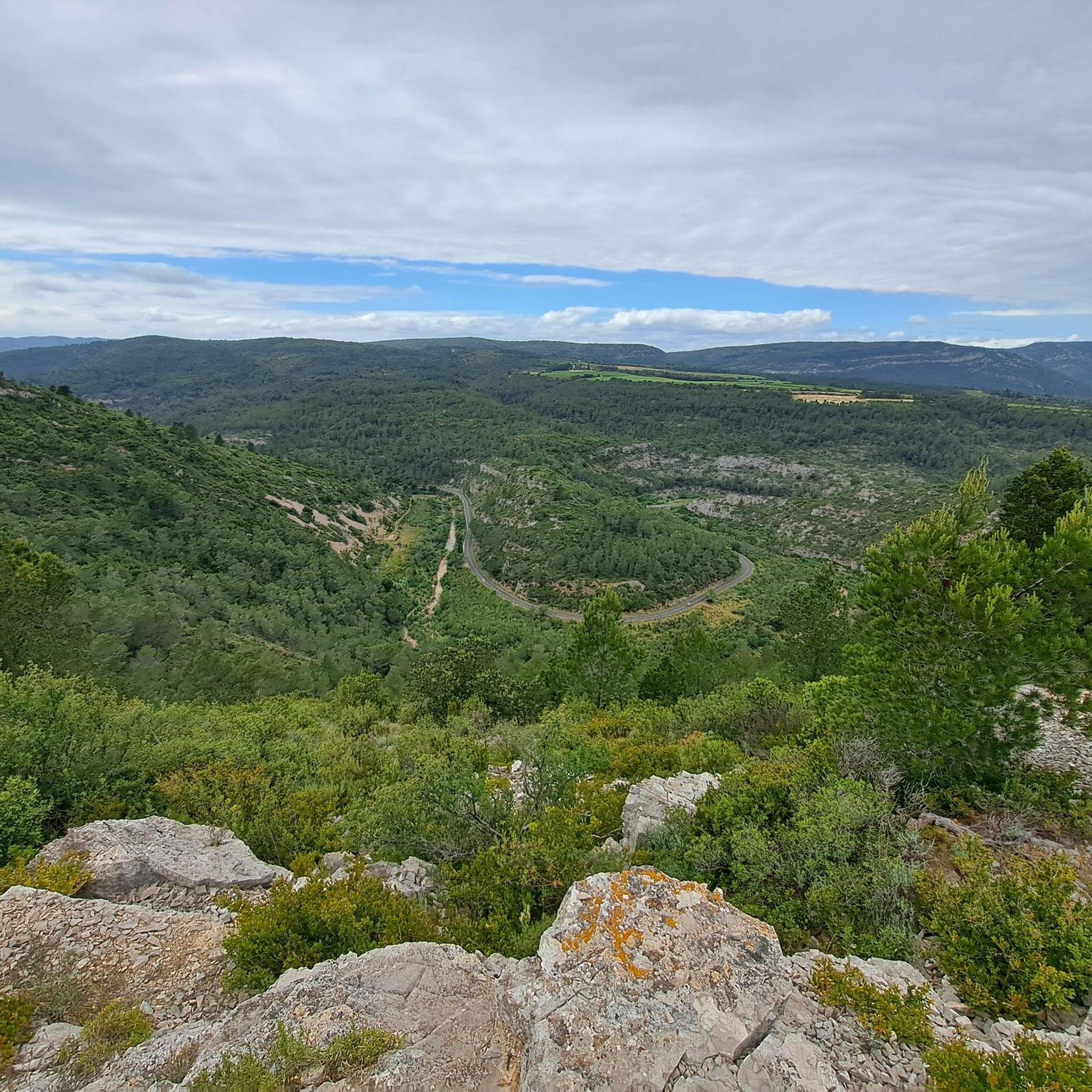
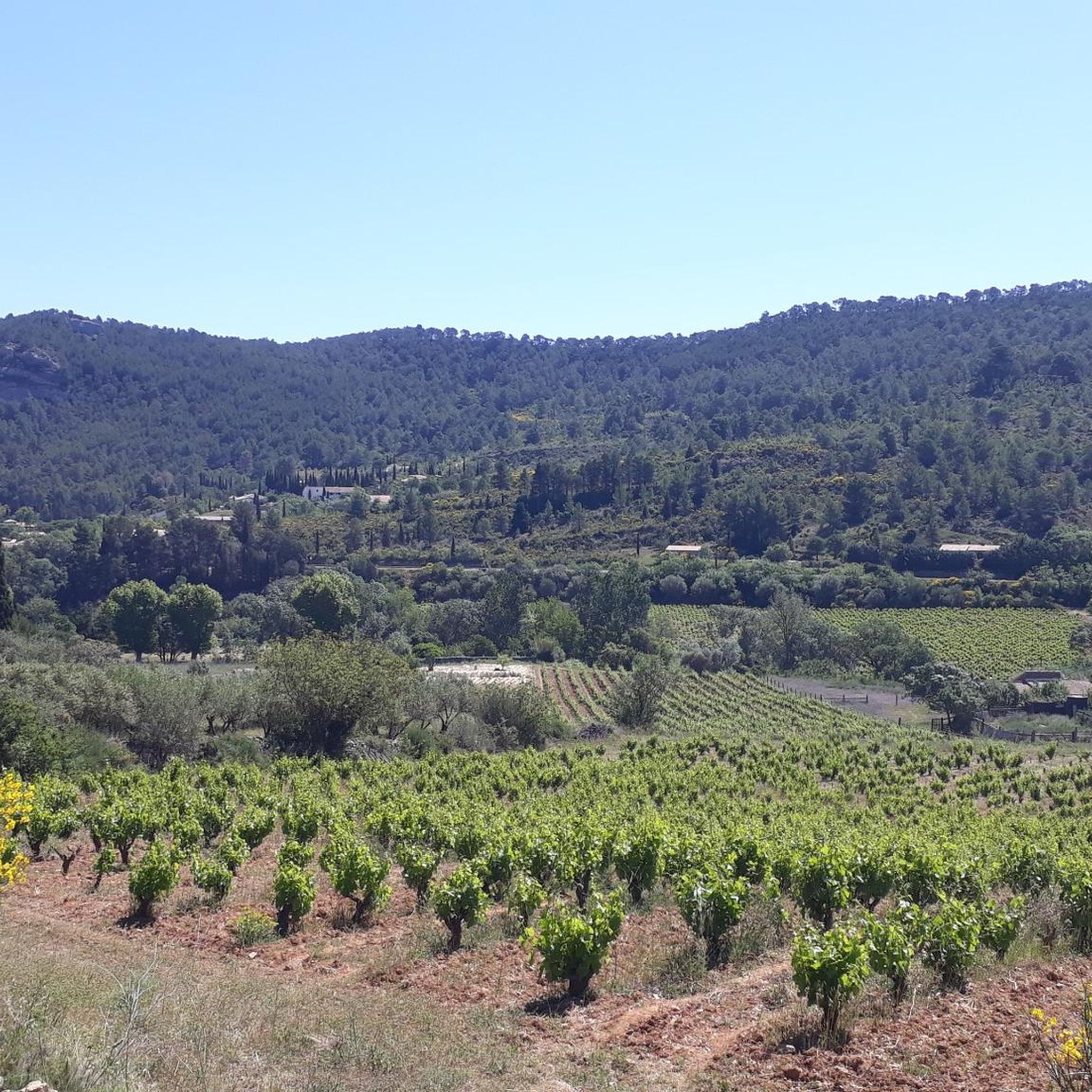
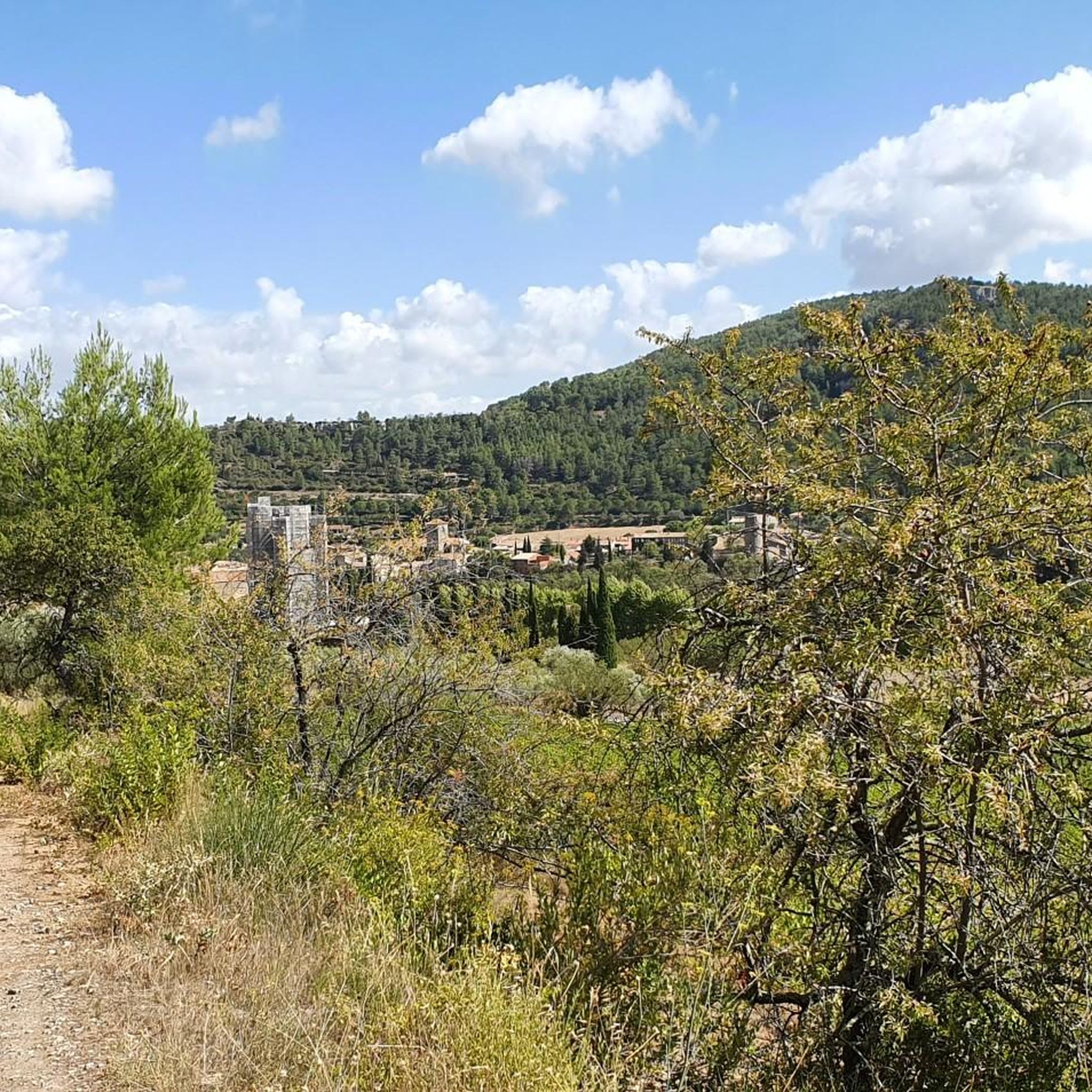
Road cycling routes around Vignevieille traverse the diverse and hilly landscapes of the Hautes Corbières in southern France. The region features a consistently undulating terrain with significant elevation changes, characterized by garrigue, vineyards, and pine forests. Cyclists can navigate through hills and slopes, encountering dramatic gorges and river valleys, with average elevations ranging between 200 and 300 meters.
Best road cycling routes around Vignevieille
- The most popular road cycling route is Laroque-de-Fa – Cucugnan loop from Mouthoumet, a 38.4…
Last updated: July 4, 2026
5.0
(1)
32
riders
61.7km
03:08
1,070m
1,070m
Hard road ride. Very good fitness required. Mostly well-paved surfaces and easy to ride.
4.8
(4)
19
riders
50.1km
02:42
1,030m
1,030m
Hard road ride. Very good fitness required. Mostly well-paved surfaces and easy to ride.

Sign up for free
5.0
(2)
8
riders
39.3km
02:12
880m
880m
Moderate road ride. Good fitness required. Mostly well-paved surfaces and easy to ride.
9
riders
119km
05:58
1,960m
1,960m
Hard road ride. Very good fitness required. Mostly well-paved surfaces and easy to ride.
3.0
(1)
18
riders
79.8km
04:04
1,320m
1,320m
Hard road ride. Very good fitness required. Mostly well-paved surfaces and easy to ride.
Get access to more routes and recommendations from other explorers.
Sign up for free
Already have an account?
Our route recommendations are based on thousands of hikes, rides, and runs completed by other people on komoot.
Start today with a free account
Your next adventure awaits.
Login or Signup
Tips from the Community


An affordable pass offering beautiful views of the surrounding mountains
0
0
Small, easy and accessible pass, but watch out for hunters in season
0
0

Picnic and bivouac area at the foot of the bridge
0
0

Just down the road to the campsite for a refreshing dip in the lake. Delicious as a stopover!
0
0
not too stylish, but mean long
0
0

small place below the castle with drinking water source
0
0
Frequently Asked Questions
How many road cycling routes are available around Vignevieille?
There are 18 road cycling routes around Vignevieille, offering a variety of experiences. These include 6 moderate and 12 difficult routes, catering to different fitness levels.
What is the typical terrain like for road cycling in Vignevieille?
The terrain around Vignevieille is consistently undulating and hilly, characteristic of the Hautes Corbières. You'll encounter significant elevation changes, with routes winding through garrigue, vineyards, and pine forests. Expect a mix of climbs and descents, often passing dramatic gorges and river valleys.
Are there any family-friendly road cycling routes in Vignevieille?
While the region is known for its hilly and challenging terrain, making most routes suitable for experienced cyclists, there are no specifically designated easy routes around Vignevieille. The 6 moderate routes might be an option for families with older, more experienced children, but they still involve significant climbs. For gentler rides, consider exploring routes along the Canal du Midi, which is also in the Aude department and offers flatter, more accessible cycling. You can find more information about cycling along the Canal du Midi on the Corbières Minervois tourism website.
What kind of landmarks or attractions can I see along the road cycling routes?
Road cycling routes around Vignevieille offer a blend of natural beauty and historical sites. You can expect to see extensive vineyards, dramatic gorges like the Terminet Gorges, and dense forests. Historically, the area is rich with Cathar castles; you might catch a view of Termes Castle or even visit the castle itself. The village of Vignevieille also features the Romanesque church of Sainte-Eulalie and a fountain made of local pink marble.
Are there challenging road cycling routes for experienced cyclists?
Yes, Vignevieille is an excellent destination for experienced road cyclists seeking a challenge. The region features 12 difficult routes with substantial elevation gains. For example, the Col du Poteau – Laroque-de-Fa loop from Mouthoumet is a demanding 129.1 km route with over 2000 meters of climbing. Another option is the Garouillière Pass – Roman Stone Bridge loop from Aude, which covers 80.2 km with over 1300 meters of ascent.
What is the best time of year to go road cycling in Vignevieille?
The Aude region, where Vignevieille is located, experiences a transition from more humid 'oceanic' conditions to the west to drier 'Mediterranean' conditions to the east. Generally, spring (April-June) and autumn (September-October) offer the most pleasant cycling conditions with moderate temperatures and less extreme weather. Summers can be hot, especially in July and August, making early morning or late afternoon rides preferable.
Are there circular road cycling routes available?
Yes, many of the road cycling routes around Vignevieille are designed as loops, allowing you to start and finish at the same point. Examples include the challenging Laroque-de-Fa – Cucugnan loop from Mouthoumet and the moderate Camping Innature loop from Lanet.
Where can I park my car when starting a road cycling tour in Vignevieille?
Vignevieille is a small village, and parking is generally available in or near the village center. For specific routes, parking might be available at the designated starting points mentioned in the tour descriptions, such as Mouthoumet or Salza. Always check local signage for any parking restrictions.
Is public transport available to reach Vignevieille?
Vignevieille is a tranquil village in a rural part of the Hautes Corbières, and public transport options are limited. It is generally best accessed by car. For detailed information on reaching the village, you might find local transport details on the Vignevieille tourism page.
What do other cyclists say about road cycling in Vignevieille?
The road cycling routes in Vignevieille are highly rated by the komoot community, with an average score of 4.6 stars from more than 20 reviews. Cyclists often praise the diverse and picturesque scenery, the challenging climbs, and the opportunity to explore the rugged Corbières landscape and historical sites.
Are there moderate road cycling routes for intermediate cyclists?
Yes, there are 6 moderate road cycling routes around Vignevieille that are suitable for intermediate cyclists. These routes still feature significant elevation changes but are generally shorter or less intense than the difficult options. An example is the Camping Innature loop from Lanet, which is 39.4 km long with nearly 900 meters of ascent.
Most popular attractions around Vignevieille

Get inspired with the komoot mobile app


Explore more
Browse the best Road cycling routes in other regions.
