The best walks and hikes around L'Albère
4.3
(247)
1,208
hikers
20
hikes
Hiking around L'Albère offers diverse terrain within the Albera Massif, where the Pyrenees meet the Mediterranean. The region features significant elevation changes, ranging from 266 meters to 1,116 meters, with Puig Neulós reaching 1,256 meters. The landscape is characterized by the Albères national forest, featuring holm oaks, cork oaks, beech, and common oak trees, providing varied forest trails and panoramic viewpoints.
Best hiking trails in L'Albère
- The most popular hiking route is Puig Sant Cristau Loop Trail, a 3.5 miles (5.7 km) trail that takes 2 hours 19 minutes to complete, offering views towards the summit.
- Another top favourite among local hikers is Puig Neulós – Ullat Pass loop from Col de l'Ouillat, a moderate 4.2 miles (6.7 km) path through mountainous terrain.
- Local hikers also love the Viewpoint – Chalet of the Albère loop from Église Saint-Martin, a 7.0 miles (11.4 km) trail leading through varied landscapes, often completed in about 4 hours 44 minutes.
- Hiking around L'Albère is defined by mountainous terrain, dense forest trails, and panoramic viewpoints over the Mediterranean and Roussillon plain. The network offers options for different ability levels, from moderate ascents to more difficult climbs.
- The routes in L'Albère are highly rated by the komoot community with an average score of 4.3 stars from over 230 reviews. More than 1000 hikers have used komoot to explore L'Albère's varied terrain.
Last updated: June 23, 2026
4.3
(34)
126
hikers
5.69km
02:19
430m
430m
Hike the moderate Puig Sant Cristau Loop Trail, a 3.5-mile route with 1420 feet of gain, offering panoramic views and historical sites.
4.6
(52)
198
hikers
6.71km
02:30
320m
310m
Moderate hike. Good fitness required. Mostly accessible paths. Sure-footedness required.

Sign up for free
4.7
(15)
87
hikers
11.5km
04:46
640m
640m
Moderate hike. Good fitness required. Mostly accessible paths. Sure-footedness required.
4.3
(3)
24
hikers
7.22km
02:19
240m
240m
Moderate hike. Good fitness required. Mostly accessible paths. Sure-footedness required.
4.0
(2)
23
hikers
16.2km
05:28
620m
610m
Hard hike. Very good fitness required. Mostly accessible paths. Sure-footedness required.
Get access to more routes and recommendations from other explorers.
Sign up for free
Already have an account?
Our route recommendations are based on thousands of hikes, rides, and runs completed by other people on komoot.
Start today with a free account
Your next adventure awaits.
Login or Signup


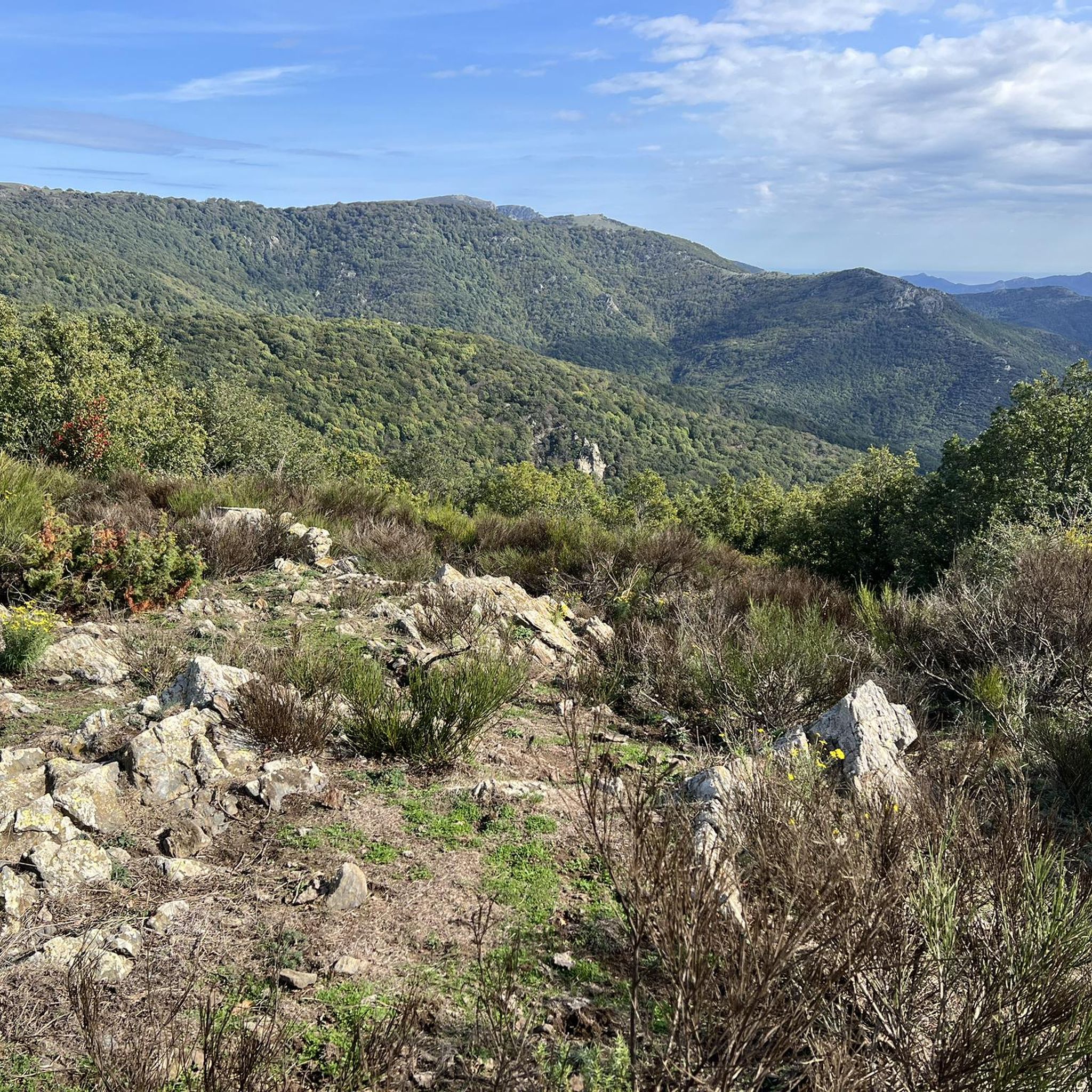
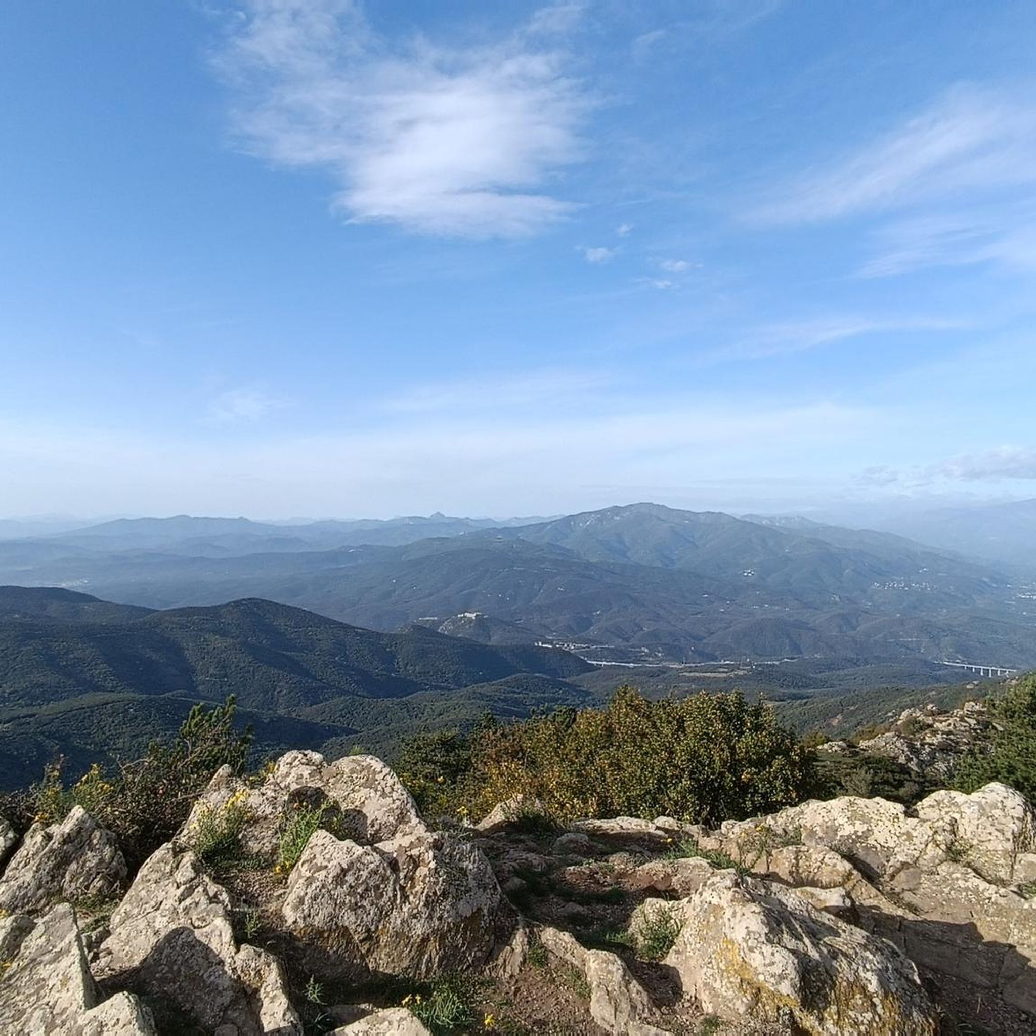
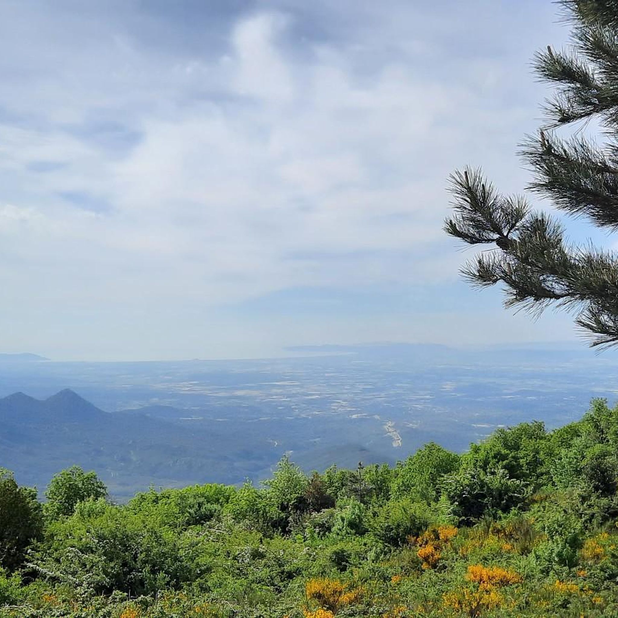
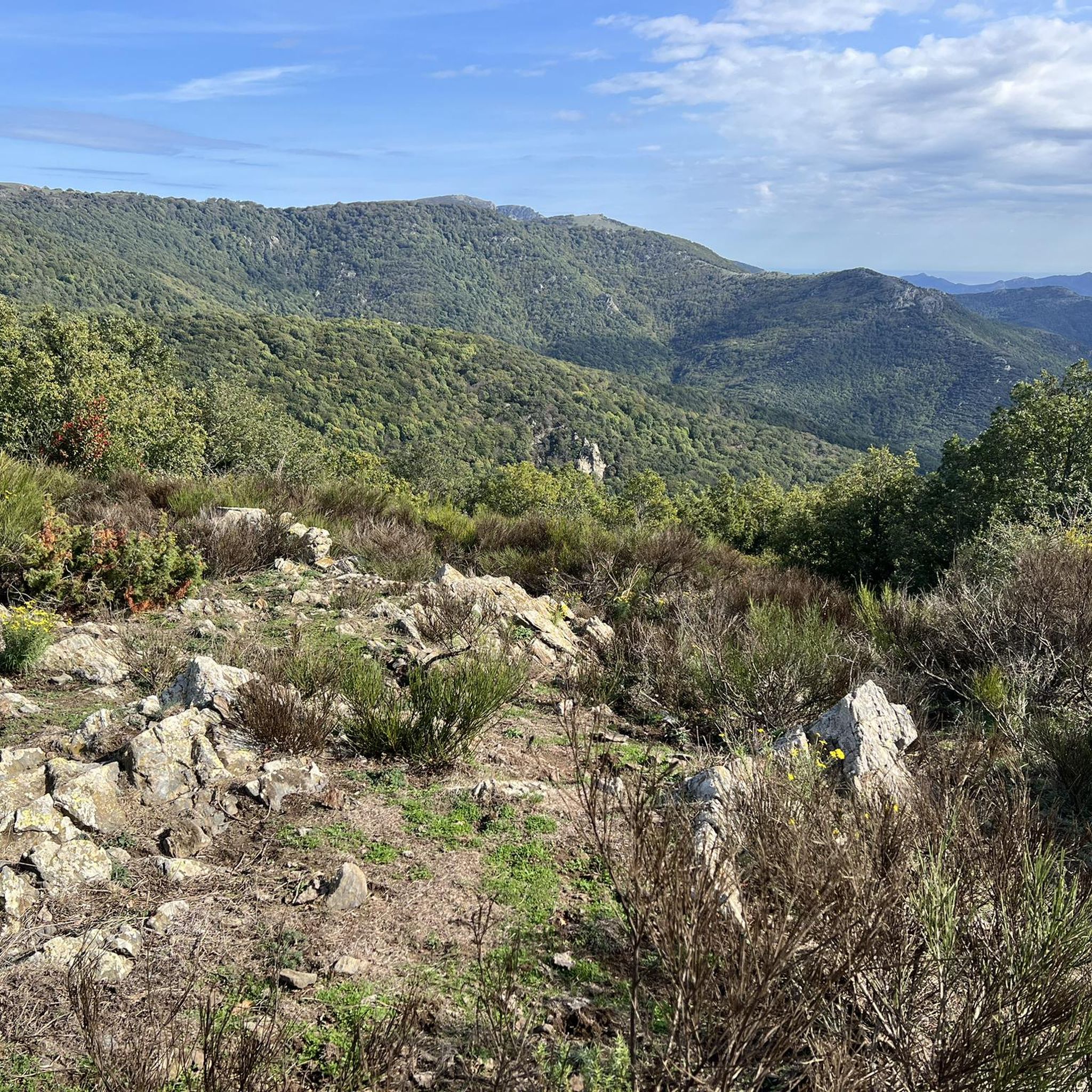



Tips from the Community

In poor condition and dirty, usable in case of emergency
0
0


It is possible to do it with a mountain bike or gravel bike starting either from Villeneuve or from Montesquieu or from Boulou
0
1

Amazing views from the pyrenees towards the Mediterranean.
0
0

It is located at an altitude of approximately 936 metres in the Albera mountain range in the Pyrénées-Orientales, France. It is accessible by road via a narrow, paved route, which climbs from Le Boulou and Laroque-des-Albères. The road offers panoramic views as it ascends through the forest.
3
0
At the Col de l'Ullat, there is also a refuge that offers basic services for hikers. Surrounded by forests and with panoramic views, it is an ideal place to enjoy nature and explore the region.
3
1
The refuge is surrounded by lush nature, with beech and oak forests, and is an excellent place to observe the local fauna and flora. It is also a strategic point for those who wish to explore the biodiversity and natural heritage of the Albera mountain range.
1
0
Frequently Asked Questions
What kind of terrain can I expect on hiking trails in L'Albère?
Hiking in L'Albère features diverse terrain, from dense forest trails within the Albères national forest, characterized by holm oaks and cork oaks, to mountainous paths with significant elevation changes. You'll find a mix of moderate ascents and more challenging climbs, often leading to panoramic viewpoints over the Mediterranean and the Roussillon plain.
Are there any family-friendly hiking options in L'Albère?
While many trails involve elevation, L'Albère offers routes suitable for families. For a moderate option, consider the Puig Sant Cristau Loop Trail, which is 3.5 miles (5.7 km) long and takes about 2 hours 19 minutes to complete, offering views towards the summit without being overly strenuous.
Can I find circular hiking routes in L'Albère?
Yes, L'Albère has several excellent circular routes. A popular choice is the Puig Neulós – Ullat Pass loop from Col de l'Ouillat, a moderate 4.2 miles (6.7 km) path through mountainous terrain. Another option is the Viewpoint – Chalet of the Albère loop from Église Saint-Martin, a longer 7.0 miles (11.4 km) trail that takes about 4 hours 44 minutes.
What are some notable viewpoints or natural features to see while hiking?
L'Albère is renowned for its stunning panoramic views. Trails often lead to vantage points offering vistas of the Mediterranean coast, the Roussillon plain, and even the iconic Canigou mountain. The region also features natural resources like mineral springs and the diverse Albères national forest. For specific peaks with great views, consider routes that ascend to Puig Neulós or Puig Saint-Christau Summit.
Are there any historical sites or landmarks along the trails?
Yes, many trails in L'Albère weave through areas rich in history. You can discover ancient megaliths and dolmens, such as Balma de Na Cristiana and Balma del Moro. Remnants of past human activity, including old coal pits, huts, and ice wells, also dot the landscape, offering a glimpse into the region's heritage. The Tour de la Massane is another significant historical site in the wider Albera Massif.
What is the best time of year to go hiking in L'Albère?
L'Albère offers hiking opportunities throughout much of the year. Spring and autumn generally provide pleasant temperatures and vibrant scenery, with blooming flora or rich autumnal colors. During warmer periods, the dense forest trails within the Albères national forest offer cooler, shaded environments, making them ideal for summer hikes.
Are there any challenging hikes for experienced trekkers?
For experienced trekkers seeking a challenge, L'Albère offers more demanding routes. The Chalet of the Albère – Puig Neulós loop from Col de l'Ouillat is a difficult 10.1 miles (16.2 km) trail with significant elevation gain, typically taking over 5 hours to complete. This route provides a rewarding experience with extensive views.
What do other hikers enjoy most about the trails in L'Albère?
The trails in L'Albère are highly rated by the komoot community, with an average score of 4.3 stars from over 230 reviews. Hikers frequently praise the diverse landscapes, from the peaceful forest paths to the rewarding panoramic views of the Mediterranean and the Pyrenees. The variety of routes catering to different ability levels is also a common highlight.
Is there public transport access to the hiking areas in L'Albère?
While L'Albère is nestled in a natural setting, public transport options directly to trailheads might be limited. It's advisable to check local bus schedules or consider driving to key starting points like Col de l'Ouillat, which serves as a significant trailhead and offers parking facilities.
Are there any waterfalls or gorges to explore near L'Albère?
Yes, the region around L'Albère features several beautiful waterfalls and gorges. You can explore highlights such as the Cascade of the Gorges de la Fou, Salt del Fitó, and Salt de Baoussous Waterfall. The Gorges of Mas d'en Pardes also offer a scenic natural experience.
Where can I find amenities or a refuge during my hike?
The area around Col de l'Ouillat is a key hub for hikers, featuring the Refuge de l'Albère. This refuge provides essential services for hikers amidst a lush natural setting, making it a good point for a break or to gather information.
Are dogs allowed on the hiking trails in L'Albère?
Many trails in natural areas like L'Albère are generally dog-friendly, especially if dogs are kept on a leash to protect local wildlife and ensure the safety of other hikers. However, specific regulations can vary, particularly within protected areas or nature reserves. It's always recommended to check local signage at trailheads for any specific restrictions.
Most popular routes around L'Albère
Most popular attractions around L'Albère

Get inspired with the komoot mobile app


Explore more
Browse the best Hikes in other regions.
