The best road cycling routes around Pigna
4.7
(464)
8,031
riders
64
rides
Road cycling around Pigna offers varied terrain, transitioning from the Mediterranean coast to the Ligurian Alps. The region features the Val Nervia with olive groves and vineyards at lower altitudes, giving way to chestnut and conifer forests at higher elevations. Cyclists can expect picturesque Ligurian villages, mountains, gorges, and scenic river valleys, providing diverse landscapes for exploration. The area includes mountain passes and peaks, with routes offering significant ascents.
Best road cycling routes around Pigna
- The most popular road cycling…
Last updated: October 8, 2026
4.9
(48)
702
riders
66.8km
03:31
1,140m
1,140m
Hard road ride. Very good fitness required. Mostly well-paved surfaces and easy to ride.
4.8
(24)
465
riders
85.3km
04:28
1,590m
1,590m
Hard road ride. Very good fitness required. Mostly well-paved surfaces and easy to ride.

4.9
(14)
223
riders
60.0km
03:36
1,450m
1,450m
Hard road ride. Very good fitness required. Mostly well-paved surfaces and easy to ride.
4.6
(18)
448
riders
104km
05:08
1,520m
1,520m
Hard road ride. Very good fitness required. Some segments of this route may be unpaved and difficult to ride.
4.6
(17)
220
riders
44.1km
02:23
810m
810m
Moderate road ride. Good fitness required. Mostly well-paved surfaces and easy to ride.
Get access to more routes and recommendations from other explorers.
Already have an account?
Our route recommendations are based on thousands of hikes, rides, and runs completed by other people on komoot.
Start today with a free account
Your next adventure awaits.
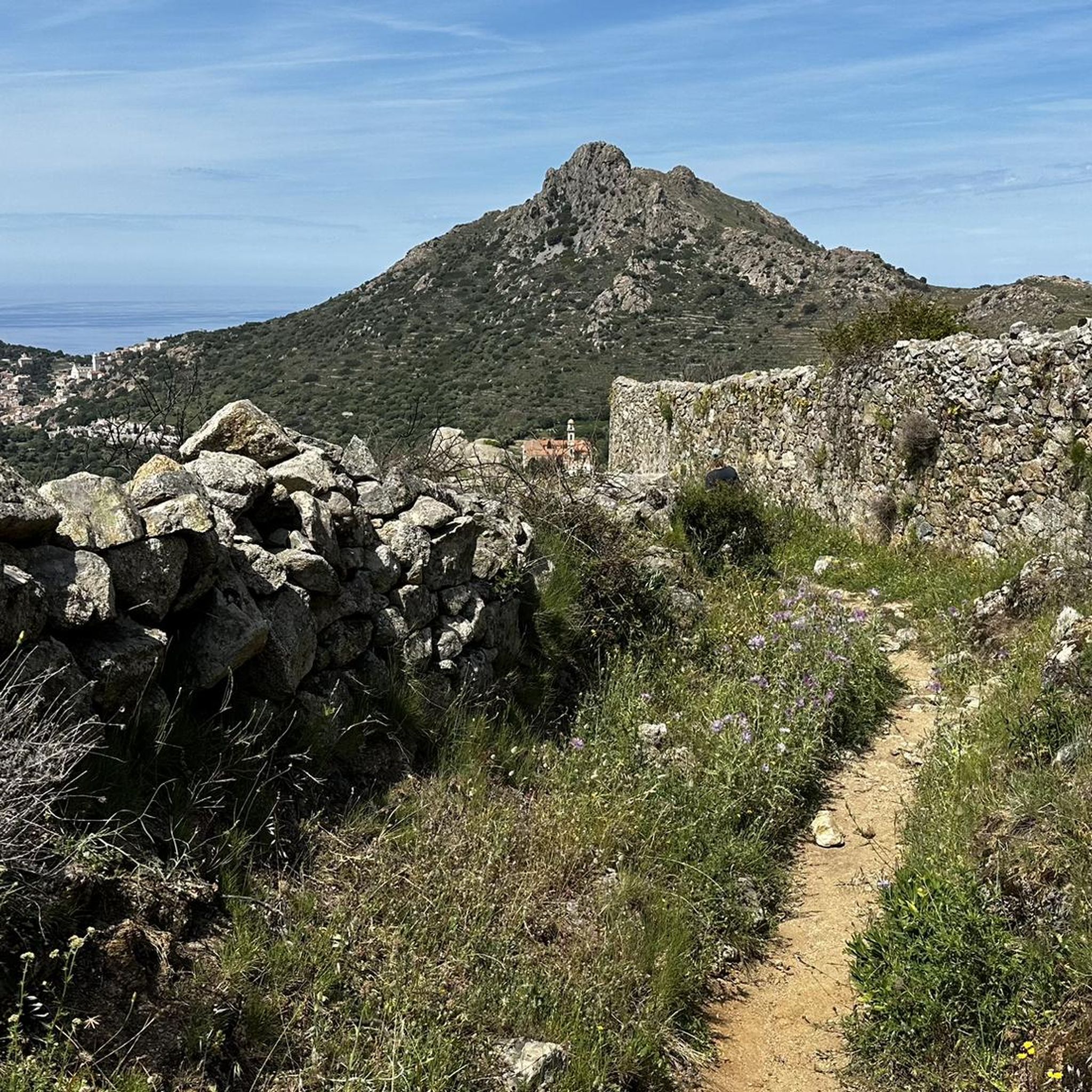
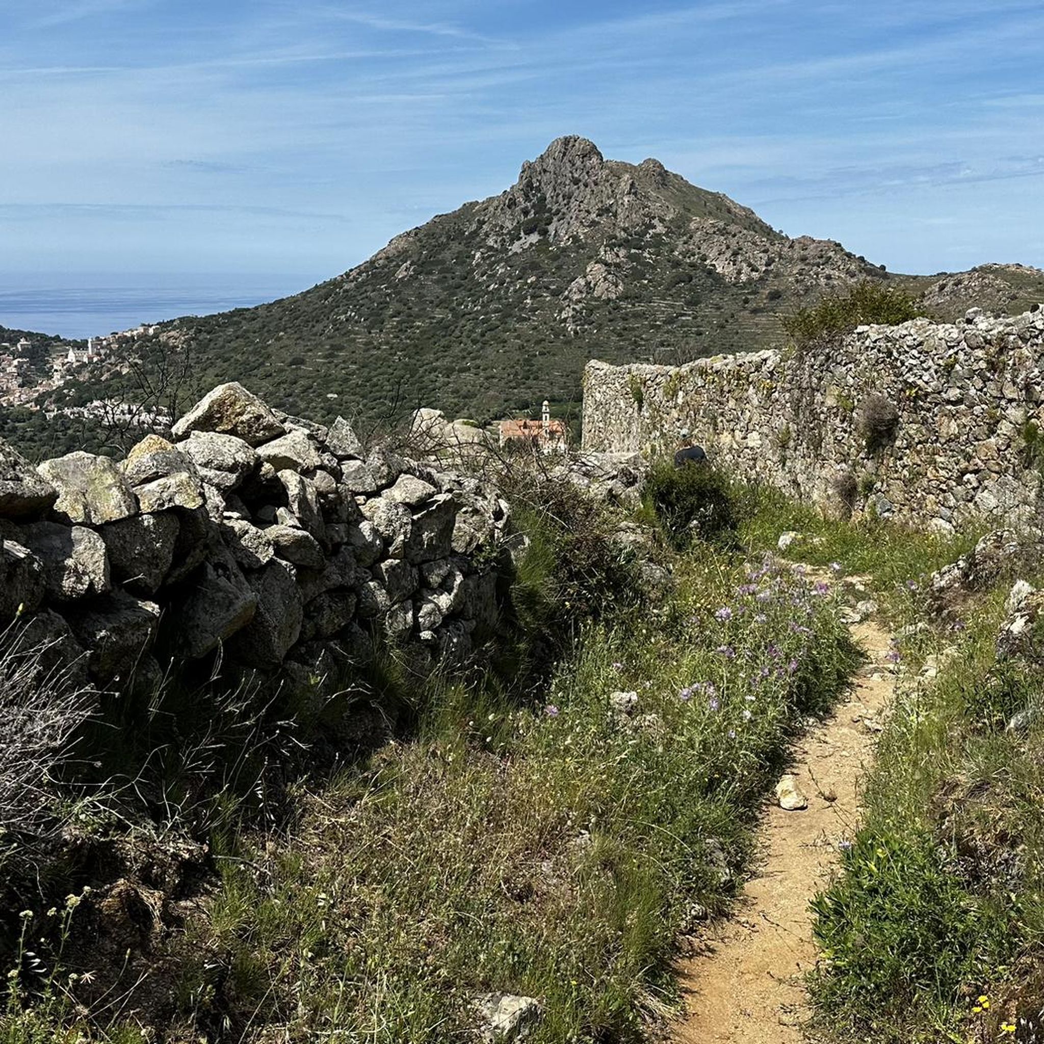
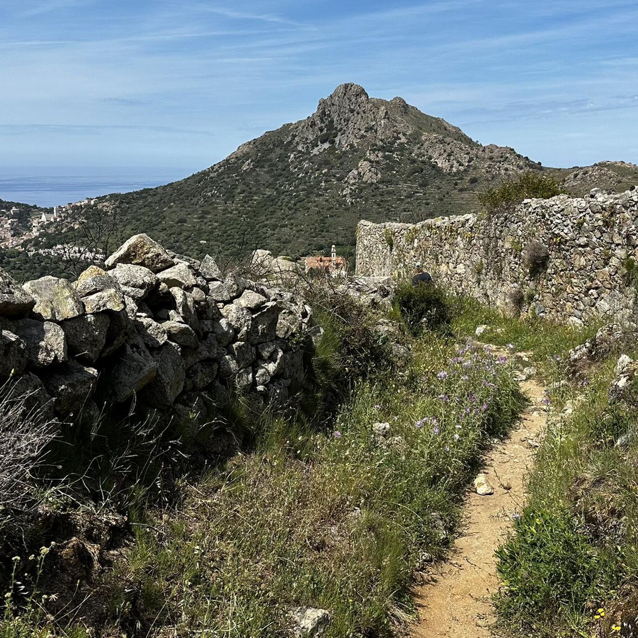
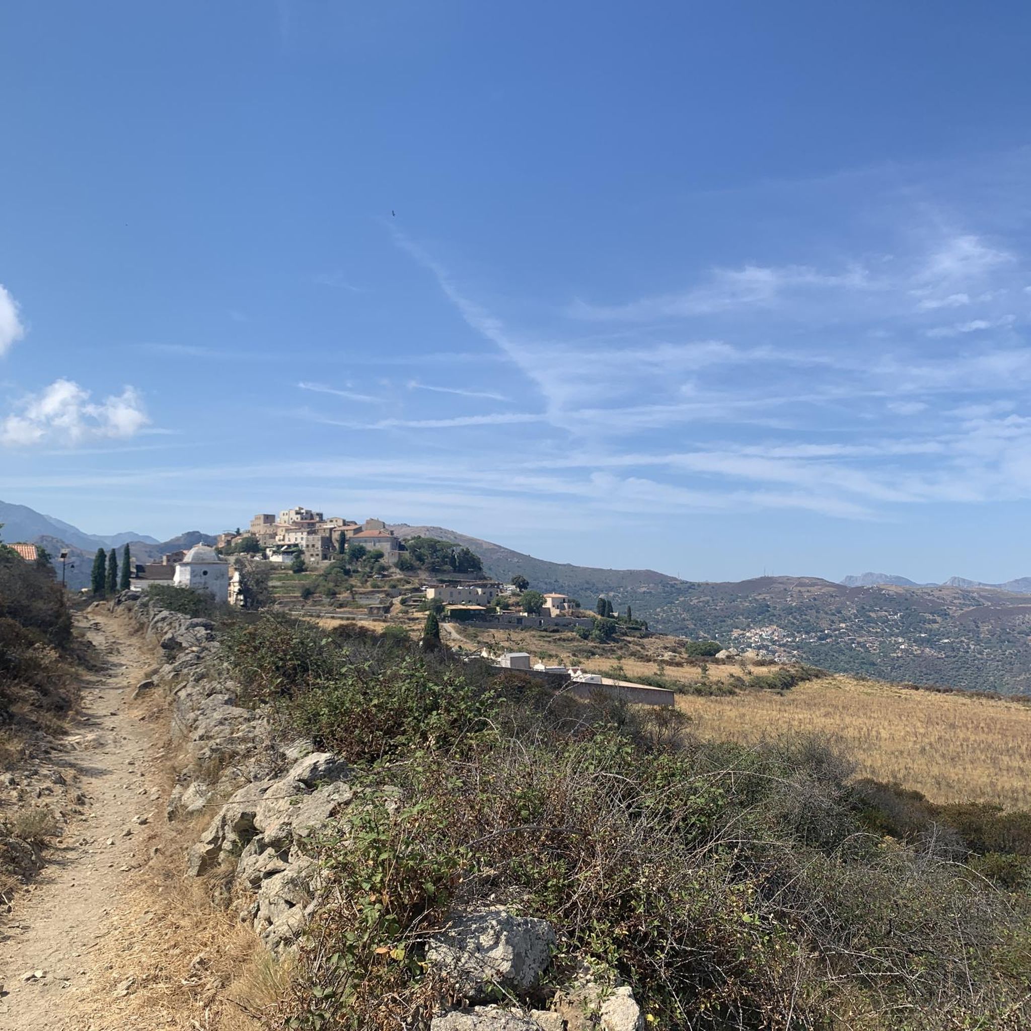

Tips from the Community

The asphalt is great, the climb from the west side is very hard, a real challenge.
0
0

pretty here, very pretty
0
1
pretty here, very pretty
2
0


The D62 is a beautiful narrow road that winds through Nebbio.
0
0

The village has had its Church of Saint Thomas since 1269, built by Andrea Malaspina. Amidst its arcades and numerous so-called "venelles," it houses a 16th-century image of the Virgin and Child, a 17th-century holy water font, and a marble statue of Saint Anthony the Baptist, discovered near Lozari. The latter, coveted by several communities, was therefore transported by oxen on a cart across the region and given to the village where the animals first stopped.
0
0
Frequently Asked Questions
How many road cycling routes are available around Pigna?
Pigna offers a wide selection of road cycling routes, with over 60 distinct options to explore. These routes cater to various skill levels, from easy rides to challenging ascents.
What types of landscapes can I expect on a road cycling route near Pigna?
Road cycling around Pigna provides a diverse landscape, transitioning from the Mediterranean coast to the Ligurian Alps. You'll encounter the Val Nervia with its olive groves and vineyards at lower altitudes, which gradually give way to chestnut, conifer, and beech forests at higher elevations. Expect picturesque Ligurian villages, mountains, gorges, and scenic river valleys.
Are there any easy road cycling routes suitable for beginners or families in Pigna?
Yes, Pigna offers several easier road cycling routes. While the region is known for its challenging terrain, there are 7 routes classified as easy. These typically feature less elevation gain, making them suitable for beginners or those looking for a more relaxed ride. For example, routes exploring the Val Nervia at lower altitudes would be a good starting point.
What are some challenging road cycling routes for experienced riders in Pigna?
For experienced road cyclists seeking a challenge, Pigna has 24 difficult routes. A notable option is the Bocca di Battaglia (1010 m) – Descent of Col de Battaglia loop from Pigna, a 62.5 km trail with a substantial ascent of over 1,500 meters. These routes often include significant climbs into the Ligurian Alps.
What do other road cyclists enjoy most about the routes in Pigna?
The road cycling routes in Pigna are highly rated by the komoot community, with an average score of 4.7 stars from nearly 300 reviews. Cyclists often praise the varied terrain, the stunning transition from coastal views to alpine forests, and the charm of the medieval villages encountered along the way. Over 6,300 road cyclists have used komoot to explore this region.
Are there circular road cycling routes available around Pigna?
Yes, many of the road cycling routes around Pigna are designed as loops, allowing you to start and finish in the same location. For instance, the challenging Bocca di Battaglia (1010 m) – Descent of Col de Battaglia loop from Pigna is a popular circular option. The region's network of roads lends itself well to creating diverse circular tours.
What kind of attractions or landmarks can I see along the road cycling routes?
Beyond the natural beauty, road cycling routes around Pigna often pass through or near charming medieval villages like Pigna itself, Apricale, Dolceacqua, and Castel Vittorio. You can also find natural monuments and mountain peaks. For example, the Bocca di Battaglia (1010 m) is a significant summit that features on some routes, offering panoramic views.
What is the best time of year for road cycling in Pigna?
Pigna's location, transitioning from coast to mountains, means cycling conditions can vary. Generally, spring and autumn offer pleasant temperatures for road cycling, avoiding the peak heat of summer and the colder conditions of winter at higher altitudes. These seasons also showcase the region's natural beauty, from blooming flowers to vibrant autumn foliage.
Can I combine road cycling with visits to historic villages?
Absolutely. Pigna is nestled among several impressive medieval villages, and many road cycling routes are designed to pass through or near them. You can easily incorporate stops in places like Apricale, Dolceacqua, or Castel Vittorio to explore their narrow streets and historic cores, adding a cultural dimension to your ride.
Are there routes that offer both mountain and coastal views?
Yes, Pigna's strategic location approximately 22 km from the sea allows for routes that combine the best of both worlds. You can experience gradual climbs through olive groves and vineyards, leading to significant ascents into alpine forests, and then descend towards the coast, offering stunning panoramic views that encompass both mountain and sea.
What are the typical road conditions like for cycling in Pigna?
Many of the road cycling routes in Pigna feature well-paved surfaces, making them suitable for road bikes. However, as you venture into higher elevations or more remote areas, you might encounter varying road quality. It's always advisable to check route details and recent reviews on komoot for specific conditions.
Most popular attractions around Pigna

Get inspired with the komoot mobile app


Explore more
Browse the best Road cycling routes in other regions.
