The best walks and hikes around Laprugne
4.5
(450)
2,313
hikers
167
hikes
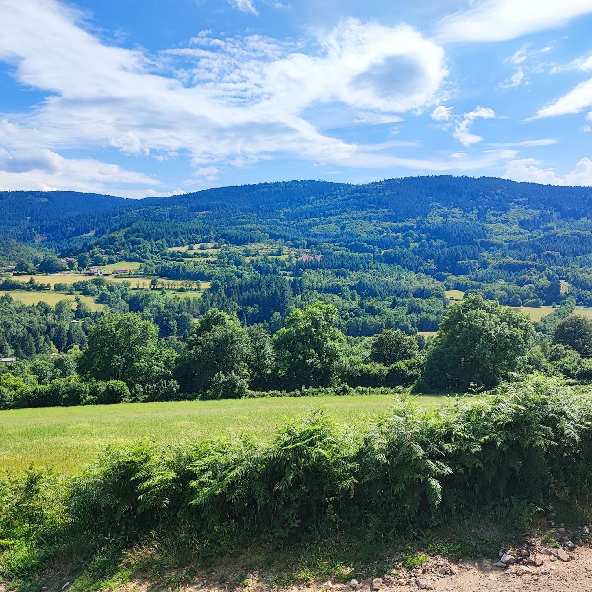
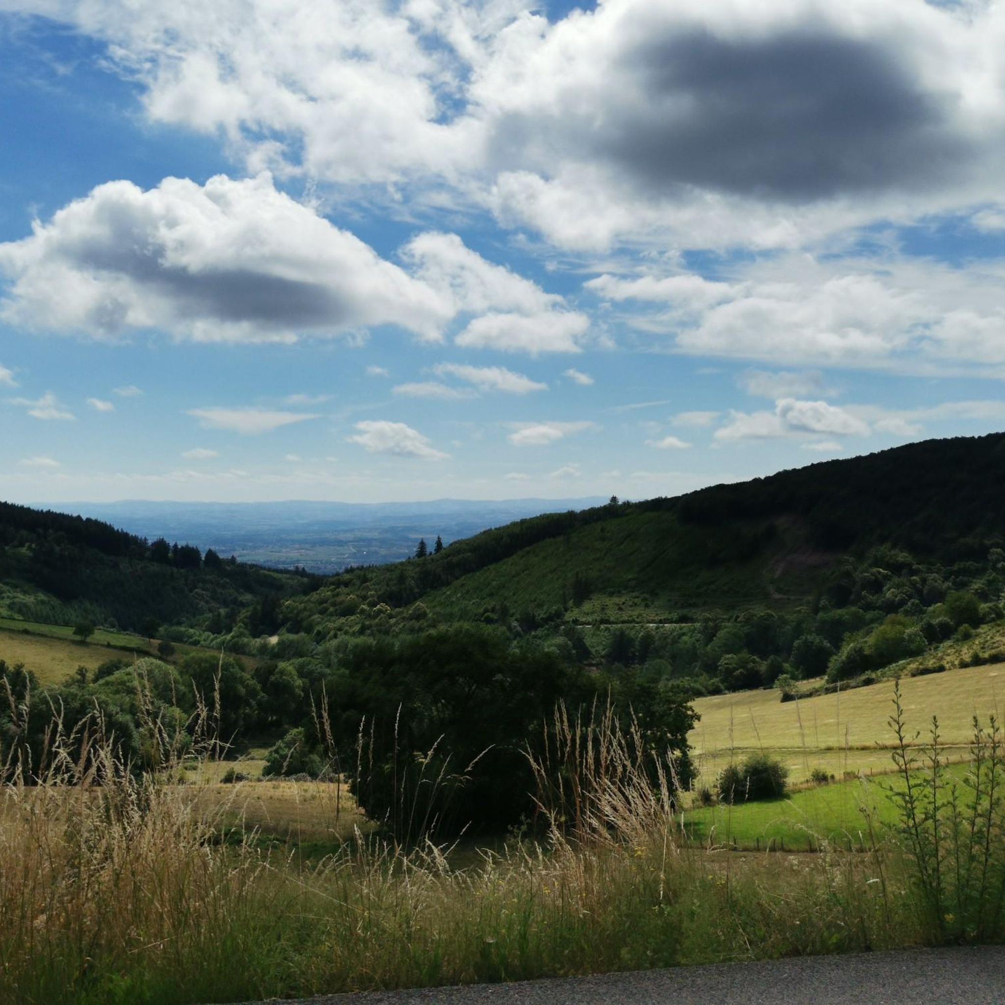
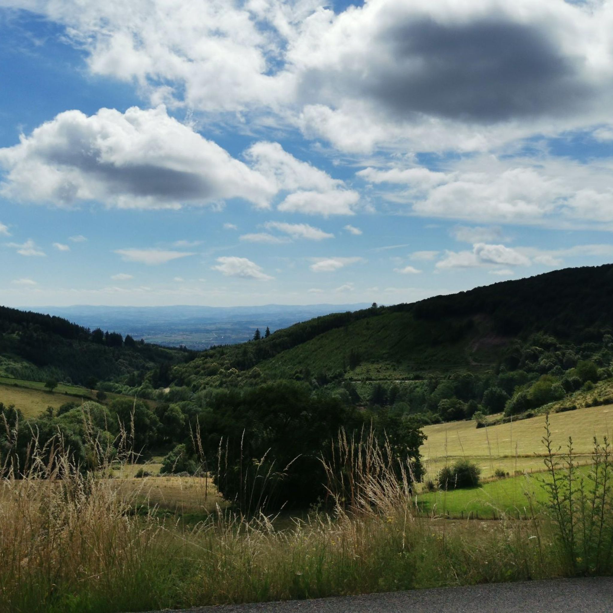
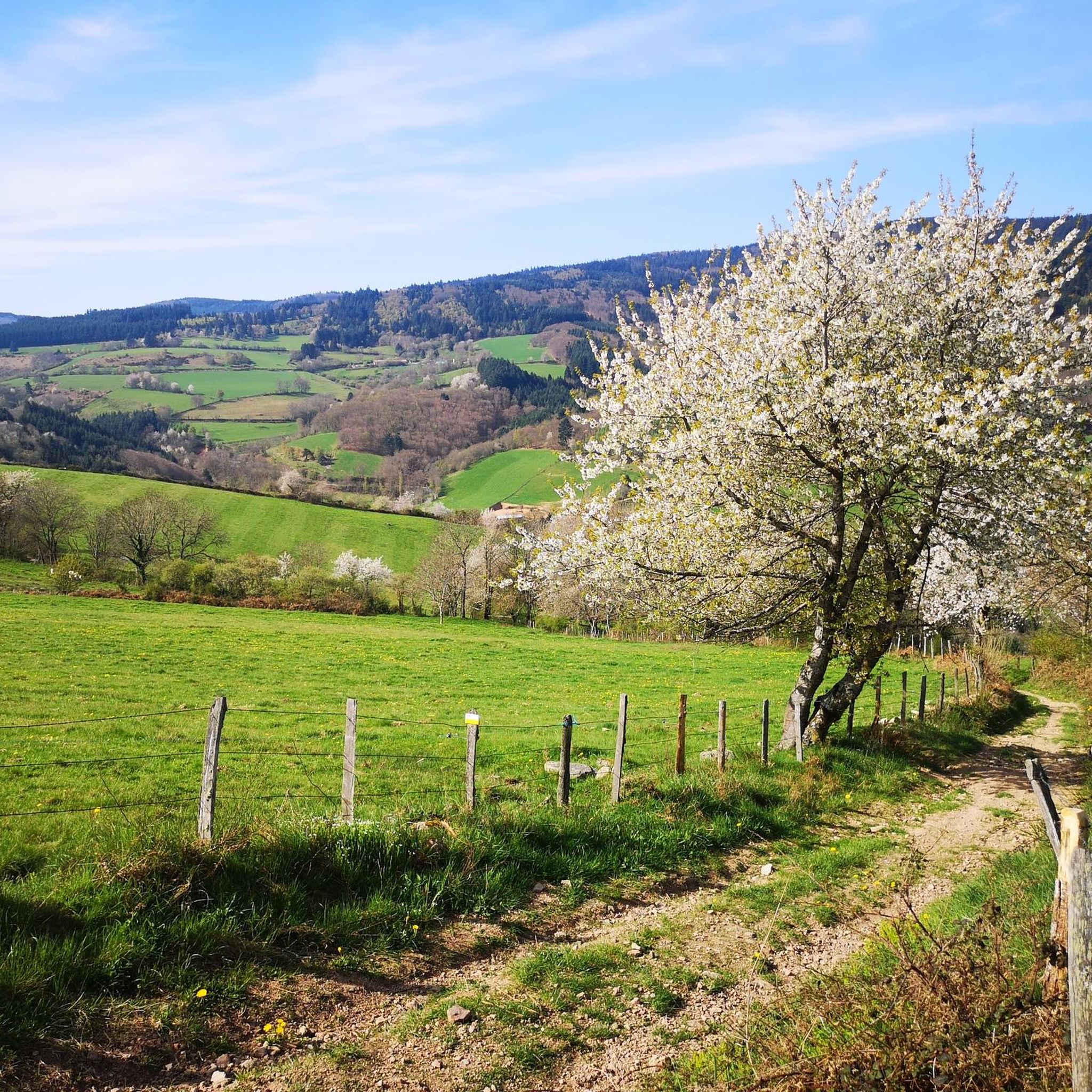
Hiking around Laprugne offers a diverse landscape characterized by hills, dense forests, and varied elevation changes. The region features prominent points like Rocher Saint-Vincent and the Col de la Loge des Gardes, providing both challenging ascents and scenic viewpoints. Laprugne hiking trail distances vary, with routes traversing woodlands and open areas, catering to different experience levels.
Best hiking trails in Laprugne
- The most popular hiking route is Rocher Saint-Vincent Loop, a 5.1 miles (8.2 km) trail that takes 2…
Last updated: October 7, 2026
4.7
(10)
52
hikers
8.23km
02:23
220m
230m
Hike the moderate 5.1-mile Rocher Saint Vincent loop from Lavoine, offering panoramic views and historical sites.
4.5
(2)
29
hikers
Hard hike. Very good fitness required. Sure-footedness, sturdy shoes and alpine experience required.

4.6
(7)
24
hikers
Moderate hike. Good fitness required. Easily-accessible paths. Suitable for all skill levels.
4.6
(5)
15
hikers
7.83km
02:13
180m
180m
Moderate hike. Good fitness required. Easily-accessible paths. Suitable for all skill levels.
3.8
(4)
14
hikers
5.05km
01:24
100m
100m
Easy hike. Great for any fitness level. Easily-accessible paths. Suitable for all skill levels.
Get access to more routes and recommendations from other explorers.
Already have an account?
Our route recommendations are based on thousands of hikes, rides, and runs completed by other people on komoot.
Start today with a free account
Your next adventure awaits.
Tips from the Community

a pass that culminates at about 1,070 meters above sea level, little traffic, a steady climb from the Gitenay mill over 7 km with an average gradient of 7%, very pleasant climb in nature, with plenty of shade.
0
0

A very nice and pleasant pass with several climbs more or less accessible depending on the level and distance. Each side offers its share of landscapes and small villages. If you want to climb it for the beauty of the landscapes, I recommend the ascent via Les Noës or via Charrier, and for those seeking a difficult climb, Charrier also serves as the hardest side.
1
0

A long, steady climb. Almost no cars, wide roads and beautiful surroundings! Hard to find a coffee or lunch place though.
0
0

This ancient path, near the hamlet of La Bletterie, is lined with majestic trees over 400 years old, whose distinctive shape is the result of human pruning. You'll feel like you're in a fairy tale as you admire the moss-covered trunks, the branches reaching toward the sky, and the lovers' initials engraved on the bark.
0
0

As you walk along the track that runs through the forest towards the Saint-Vincent rock, the trees part for a moment to reveal the wind turbines.
0
0
Saint-Vincent Rock is an imposing volcanic rock that offers breathtaking views of the surrounding forests and valleys. It is a natural wonder that dates back millions of years, when lava erupted from a fissure. Later, the sea receded, and tectonic movement lifted the lava, creating the impressive rock that stands today. You can explore the ruins of an ancient castle that once crowned the rock and admire a statue of the Virgin and Child, called "Our Lady of Up There," installed in 2012.
0
0

A magnificent panorama of the Allier with picnic tables
0
0

What the runner walking quickly past encounters off the path are the modern heirs of the historic windmills, because centuries ago our ancestors were clever enough to harness the power of the elements for their own purposes. They used the wind captured in the blades to drive the heavy millstones, so that grain could be ground into flour, for example. While in the past, attention was paid to the architecture of each individual mill, this modern and unaesthetic variant - which is used to generate electricity - has simply been built en masse in the landscape. These wind farms, which are designed for efficiency, are not without controversy, because on the one hand, no consideration is given to the landscape when they are built, and above all, the slender blades become a death trap for birds.
1
0
Frequently Asked Questions
How many hiking trails are available in Laprugne?
Laprugne offers a wide selection of hiking opportunities, with over 150 routes recorded on komoot. These trails cater to various skill levels, from easy walks to more challenging ascents through the region's diverse landscape.
Are there easy hiking trails suitable for beginners or families in Laprugne?
Yes, Laprugne has numerous easy trails perfect for beginners or families. There are 54 easy routes available, such as the View – Le petit Alpes d'huez loop from Saint-Priest-la-Prugne, which is a 5 km (3.1 miles) loop with minimal elevation gain, offering a pleasant experience for all.
Can I find circular hiking routes around Laprugne?
Absolutely. Many of the trails in Laprugne are circular, allowing you to start and end at the same point. A popular example is the Rocher Saint-Vincent Loop, a moderate 8.2 km (5.1 miles) route that provides scenic views.
What kind of natural features or landmarks can I expect to see on hikes in Laprugne?
Laprugne's hiking trails lead through diverse natural settings. You can explore dense forests, discover unique twisted beech trees, and even traverse a peat bog on routes like the Col de la Loge des Gardes loop from Zone de protection de la Tourbière du Gué de la Chaux. The region is also known for its mountain passes, such as the Col de la Loge des Gardes, and several picturesque lakes like Lake Saint-Clément.
Are there any specific viewpoints worth visiting on a hike in Laprugne?
Yes, the region offers several rewarding viewpoints. The Rocher Saint-Vincent Loop is specifically known for its panoramic views from Rocher Saint-Vincent. Additionally, many trails ascend to mountain passes like the Col de la Loge des Gardes, which often provide expansive vistas of the surrounding forested hills.
What is the best time of year to go hiking in Laprugne?
The best time for hiking in Laprugne is generally from spring to autumn (April to October) when the weather is mild and the trails are most accessible. During these months, the forests are lush, and the views are clear. While winter hiking is possible, some higher elevation trails or those through dense forests might be challenging due to snow or ice.
Are the hiking trails in Laprugne dog-friendly?
Many trails in Laprugne are suitable for dogs, especially those through the extensive forests and open areas. However, it's always recommended to keep dogs on a leash, particularly in nature reserves or areas with livestock. Check individual route descriptions on komoot for specific restrictions or recommendations regarding pets.
Are there options for longer, more challenging hikes in the region?
Yes, for experienced hikers seeking a challenge, Laprugne offers 20 difficult routes. An example is the Allée des hêtres tortueux – Col de la Loge des Gardes loop from Col de la Loge des Gardes, a demanding 19.9 km (12.4 miles) trail with significant elevation gain, leading through unique twisted beech forests and up to the Col de la Loge des Gardes.
Is public transport available to access hiking trails in Laprugne?
Public transport options directly to trailheads in Laprugne can be limited, as is common in more rural, mountainous regions. It is often advisable to travel by car to reach the starting points of many hikes. Some local bus services might connect to larger villages, but direct access to remote trailheads is rare.
Where can I find parking for hiking trails in Laprugne?
Parking is typically available at common starting points for popular trails, often near villages, mountain passes like the Col de la Loge des Gardes, or designated recreational areas. It's advisable to check the komoot tour details for specific parking information or look for small car parks and roadside pull-offs near trailheads.
Are there any opportunities for wild swimming near Laprugne's hiking trails?
While Laprugne is known for its mountain passes and forests, there are several lakes in the vicinity that might offer opportunities for swimming or cooling off. These include Lake Saint-Clément, Rouchain Dam Lake, and Lac des Moines. Always check local regulations regarding swimming before entering any body of water.
What do other hikers say about the trails in Laprugne?
The hiking trails in Laprugne are highly regarded by the komoot community, boasting an average rating of 4.5 stars from over 300 reviews. Hikers frequently praise the region's quiet woodlands, varied terrain, and the well-maintained paths that offer a rewarding outdoor experience.
What are the typical trail conditions like in winter in Laprugne?
During winter, Laprugne's higher elevations and forested areas can experience snow and ice. While some trails may remain accessible for winter hiking or snowshoeing, conditions can be challenging. It's crucial to check local weather forecasts, be prepared with appropriate gear, and be aware that some routes might be impassable or require specialized equipment.
Most popular attractions around Laprugne

Get inspired with the komoot mobile app


Explore more
Browse the best Hikes in other regions.
