The best walks and hikes around Champagny-Sous-Uxelles
4.5
(383)
1,640
hikers
167
hikes
Hiking around Champagny-Sous-Uxelles offers a network of trails through the gentle, rolling landscape of Burgundy. The region is characterized by a mix of agricultural fields, scattered woodlands, and small villages, with modest elevation changes. Many routes follow quiet country lanes and paths, providing access to local heritage sites and natural settings. The terrain is generally accessible, making it suitable for various activity levels.
Best hiking trails in Champagny-Sous-Uxelles
- The most popular hiking route is La Montagne – Château de Bresse-sur-Grosne…
Last updated: July 2, 2026
4.0
(6)
17
hikers
5.67km
01:33
80m
80m
Easy hike. Great for any fitness level. Easily-accessible paths. Suitable for all skill levels.
4.5
(6)
15
hikers
5.28km
01:26
70m
70m
Easy hike. Great for any fitness level. Easily-accessible paths. Suitable for all skill levels.

Sign up for free
5.0
(4)
21
hikers
7.33km
01:55
60m
60m
Easy hike. Great for any fitness level. Easily-accessible paths. Suitable for all skill levels.
4.7
(3)
10
hikers
7.97km
02:24
250m
250m
Moderate hike. Good fitness required. Easily-accessible paths. Suitable for all skill levels.
3
hikers
Moderate hike. Good fitness required. Easily-accessible paths. Suitable for all skill levels.
Get access to more routes and recommendations from other explorers.
Sign up for free
Already have an account?
Our route recommendations are based on thousands of hikes, rides, and runs completed by other people on komoot.
Start today with a free account
Your next adventure awaits.
Login or Signup

Tips from the Community

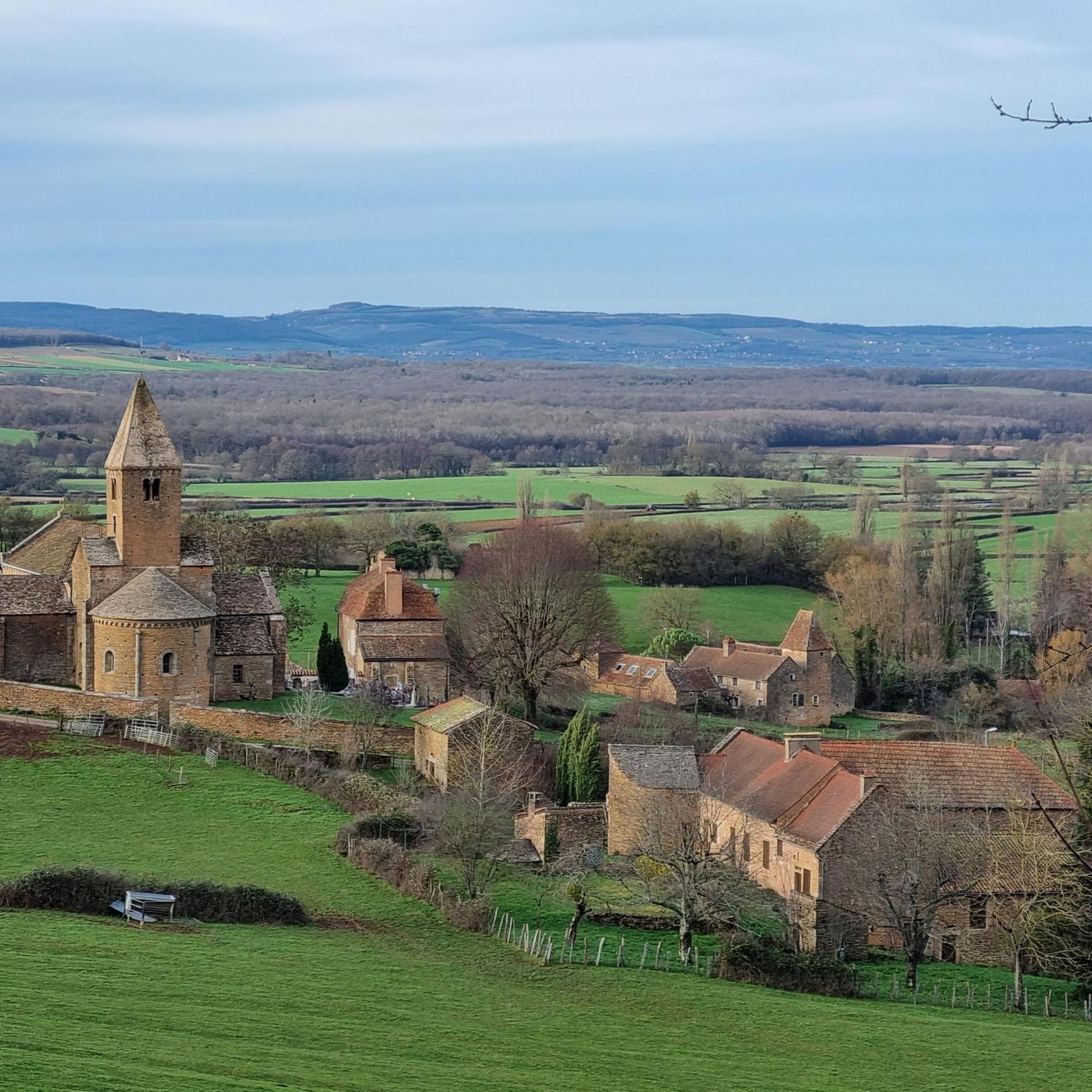
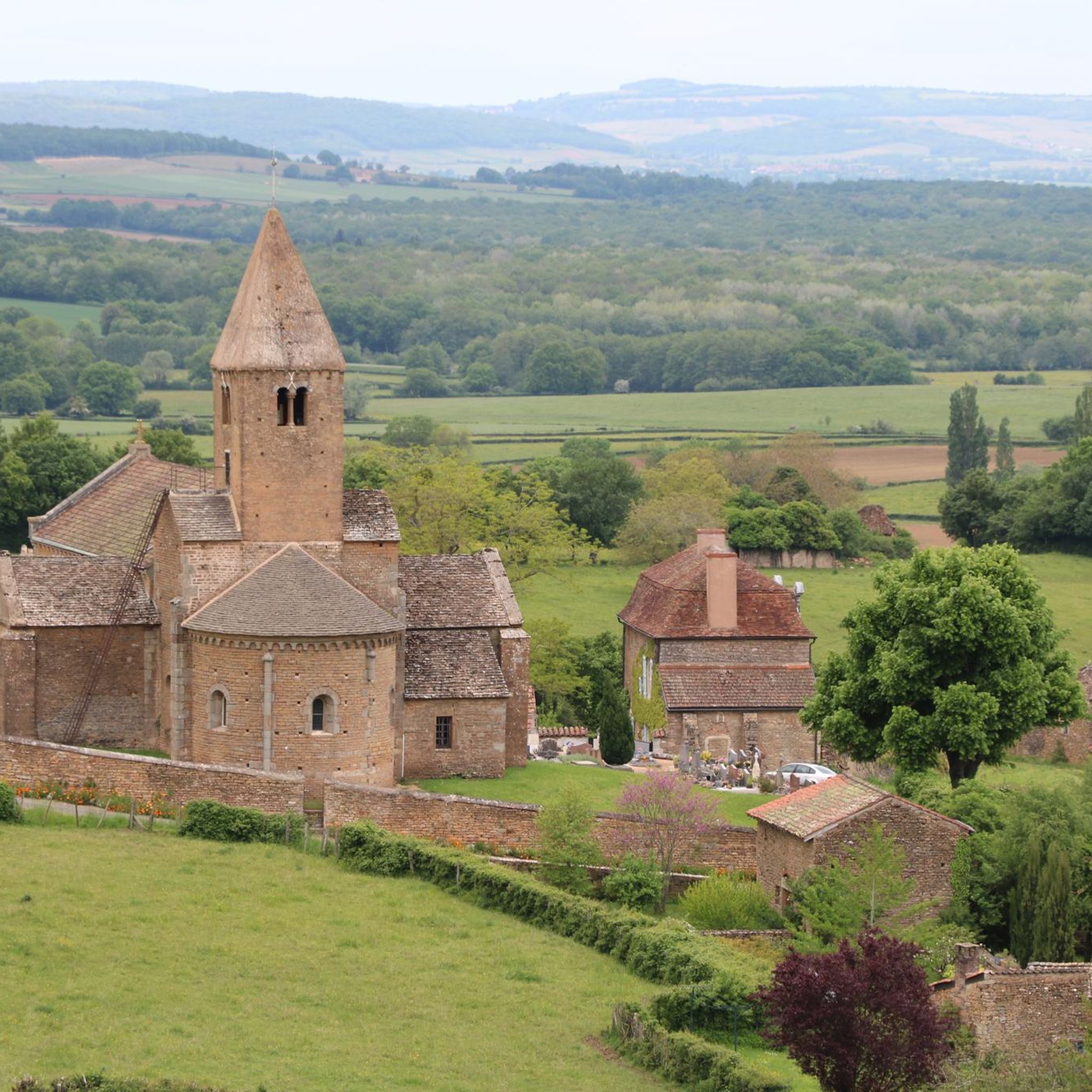
The Saint-Martin church in Chapaize is a beautiful, old church. Its huge, 35-meter-high tower can be seen from afar. The church was built almost 1000 years ago in the Romanesque style, it has thick stone walls and round arches.
3
0
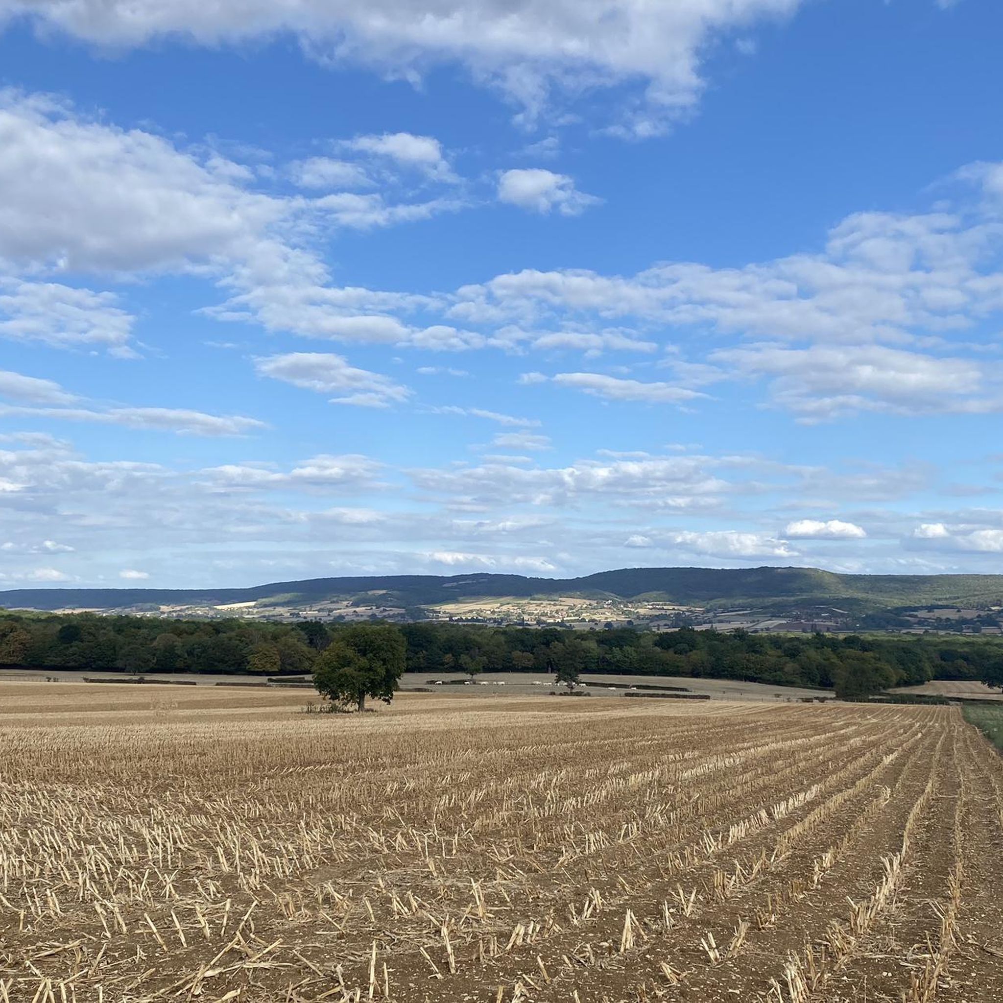
This location is part of a moderate circular hike starting from Mancey. The path there leads over easily walkable trails through nature and rewards hikers with this wide panoramic view over the French countryside.
0
0
The classic ascent from Mancey is considered a tough short climb in Category 3. Over a distance of 2.2 kilometers, 166 meters of altitude must be overcome. The average gradient is 7.55%, with peak sections of up to 14%. The path junction leads to various hiking trails and gravel paths through the wooded and wine-rich hilly landscape of the Mâconnais.
0
0
The pass is located on Rue des Maquisards in the municipality of Nanton. It is a popular destination for cycling tours. The ascent from the municipality of Mancey covers a distance of 2.2 kilometers. Cyclists overcome 166 meters of altitude on this tough route with an average gradient of 7.55%. The surrounding area also offers a versatile network of trails for easy to medium-difficulty hikes through rolling hills, mixed forests, and to nearby viewpoints such as Roche d'Aujou.
0
0
The rock, located at an altitude of just under 480 meters, offers a wide panorama over the Grosne valley. In addition to its scenic beauty, the place is historically significant: during World War II, it served as a secret hiding place for young members of the French Resistance.
0
0

Hello, I couldn't finish the walk because one of the paths was impassable (piles of debris)! Apart from that, the beginning is very pretty!
0
0
Nice hike in the Champagny sous Uxelles and Chapaise area. Little elevation gain.
0
0
Frequently Asked Questions
How many hiking trails are there in Champagny-Sous-Uxelles?
There are over 160 hiking trails around Champagny-Sous-Uxelles, offering a wide variety of options for different skill levels. You'll find a good mix of easy, moderate, and a few more challenging routes to explore the Burgundy countryside.
What is the best time of year to hike in Champagny-Sous-Uxelles?
The best time to hike in Champagny-Sous-Uxelles is typically from spring to autumn (April to October). During these months, the weather is generally mild and pleasant, ideal for enjoying the agricultural landscapes and woodlands. Spring brings blooming wildflowers, while autumn offers beautiful fall colors.
Are there easy hiking options suitable for beginners or families?
Yes, Champagny-Sous-Uxelles is well-suited for beginners and families, with nearly 60 easy routes. These trails typically feature gentle elevation changes and follow well-defined paths through the countryside. A great example is the Hiking loop from Champagny-sous-Uxelles, which is an easy 3.3-mile (5.3 km) path directly from the village.
Are there any more challenging hikes in the area?
While the region is known for its gentle terrain, there are a few more challenging routes for those seeking a bit more exertion. There are 8 difficult trails available, often featuring longer distances or slightly steeper climbs through the rolling hills. One such route is the Roche d'Aujou viewpoint – Col de Navois loop from Étrigny, which offers more significant elevation changes.
Can I bring my dog on the hiking trails?
Most hiking trails in the Champagny-Sous-Uxelles area are dog-friendly, especially those that follow country lanes and forest paths. However, it's always recommended to keep your dog on a leash, especially when passing through agricultural fields or near livestock, and to respect local regulations. Always carry water for your pet.
Are there any circular walks available?
Yes, many of the routes around Champagny-Sous-Uxelles are circular, allowing you to start and end in the same location. For instance, the popular La Montagne – Château de Bresse-sur-Grosne loop from Bresse-sur-Grosne is a 3.5-mile (5.7 km) circular trail that explores the local countryside and historical points of interest.
What interesting landmarks or attractions can I see while hiking?
The region is dotted with historical and cultural points of interest. You can encounter charming churches like the Chapaize Church or the Sainte-Marie-Madeleine Church. Many trails also pass through picturesque villages such as Saint-Gengoux-le-National, offering a glimpse into local life and architecture.
Are there any castles to explore near the hiking routes?
Yes, the area around Champagny-Sous-Uxelles is rich in historical castles. You can find impressive structures like Cormatin Castle, Sercy Castle, and Brancion Castle. Some hiking routes may offer views of these castles or pass nearby, allowing for a combined cultural and outdoor experience.
Where can I find parking for hiking trails?
Parking for hiking trails in Champagny-Sous-Uxelles is generally available in the villages where the routes begin. Look for designated parking areas in village centers or near churches. For specific trailheads, it's often best to check the route details on komoot, as local parking information is frequently shared by other hikers.
What do other hikers say about the trails in Champagny-Sous-Uxelles?
The hiking trails in Champagny-Sous-Uxelles are highly regarded by the komoot community, with an average rating of 4.5 out of 5 stars from over 350 reviews. Hikers often praise the peaceful rural atmosphere, the well-maintained paths, and the charming villages encountered along the way, making it a delightful destination for leisurely walks.
Are there any hikes that include a cafe or restaurant stop?
Many routes in Champagny-Sous-Uxelles pass through or near small villages. These villages often have local cafes, bakeries, or restaurants where you can stop for refreshments or a meal. Planning your hike to coincide with a village visit is a great way to experience local hospitality and cuisine.
How accessible are the trailheads by public transport?
Public transport options in this rural part of Burgundy can be limited. While some larger towns may have bus services, many trailheads in smaller villages like Champagny-Sous-Uxelles are best accessed by car. It's advisable to check local bus schedules in advance if you plan to rely on public transport.
Are there any 'hidden gem' trails in the area?
The entire region of Champagny-Sous-Uxelles can feel like a hidden gem for those seeking quiet, authentic rural hiking away from crowded tourist spots. Many of the 160+ trails offer peaceful walks through vineyards, forests, and past historic hamlets, providing a serene experience. Consider exploring some of the moderate routes like the Chapelle sous Brancion – 19th-Century Washhouse loop from La Chapelle-sous-Brancion for a less-trafficked adventure.
Most popular routes around Champagny-Sous-Uxelles
Most popular attractions around Champagny-Sous-Uxelles

Get inspired with the komoot mobile app


Explore more
Browse the best Hikes in other regions.
