The best walks and hikes around Remigny
4.6
(934)
4,331
hikers
328
hikes
Hiking around Remigny offers routes through the rolling hills and rural landscapes of the region. The terrain features varied elevations, connecting small villages and scenic points. Many trails traverse agricultural areas and woodlands, providing diverse walking environments. The area is characterized by its gentle slopes and open countryside, suitable for various hiking experiences.
Best hiking trails around Remigny
- The most popular hiking route is Santenay – Saint-Jean de Narosse Church loop from Santenay-les-Bains, a 6.5 miles (10.5 km) trail…
Last updated: October 9, 2026
4.9
(47)
168
hikers
Moderate hike. Good fitness required. Easily-accessible paths. Suitable for all skill levels.
4.0
(1)
8
hikers
Moderate hike. Good fitness required. Easily-accessible paths. Suitable for all skill levels.

4.7
(3)
12
hikers
16.2km
04:40
390m
390m
Moderate hike. Good fitness required. Easily-accessible paths. Suitable for all skill levels.
4.8
(4)
11
hikers
Moderate hike. Good fitness required. Easily-accessible paths. Suitable for all skill levels.
5.0
(1)
6
hikers
7.13km
02:04
190m
190m
Moderate hike. Good fitness required. Easily-accessible paths. Suitable for all skill levels.
Get access to more routes and recommendations from other explorers.
Already have an account?
Our route recommendations are based on thousands of hikes, rides, and runs completed by other people on komoot.
Start today with a free account
Your next adventure awaits.

Tips from the Community


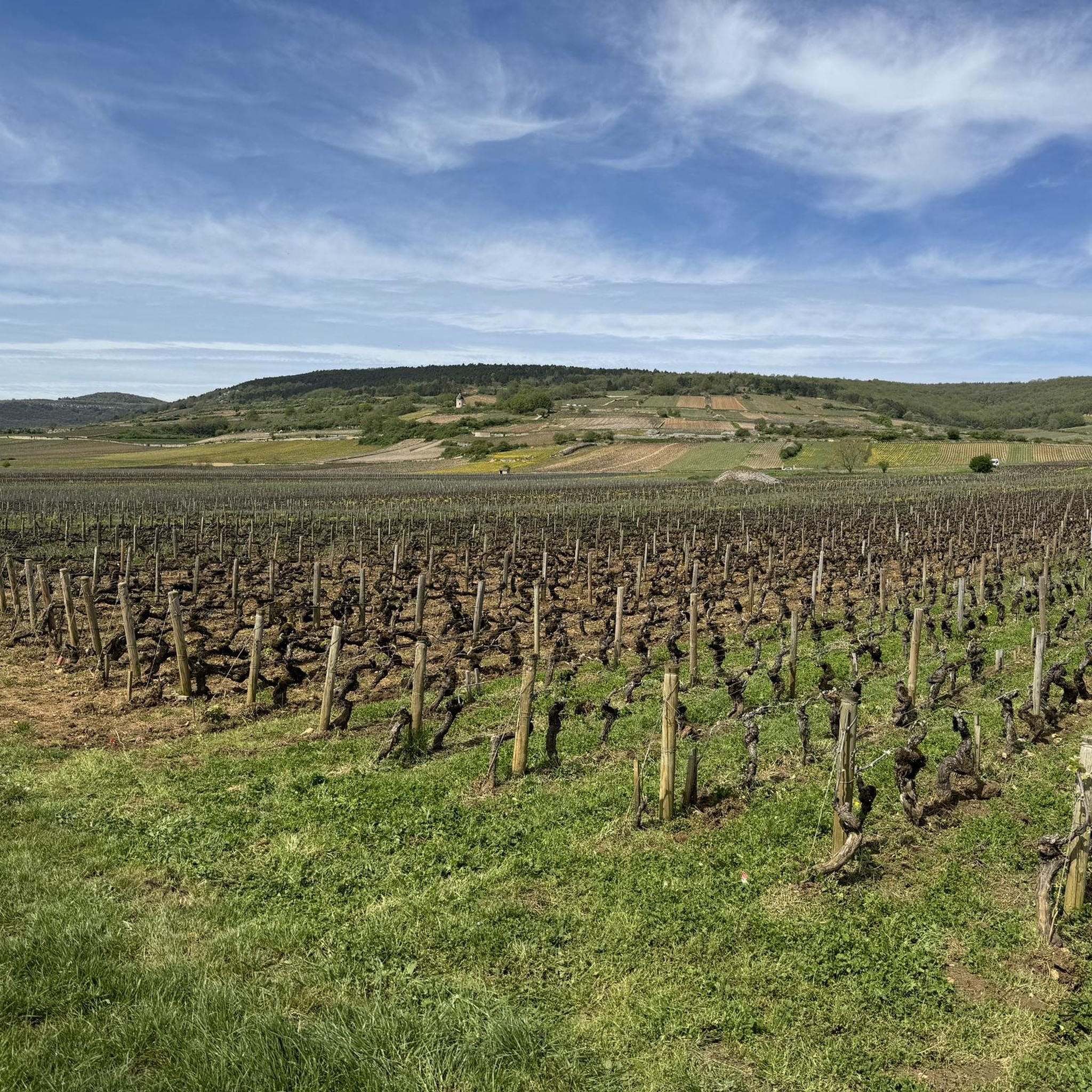
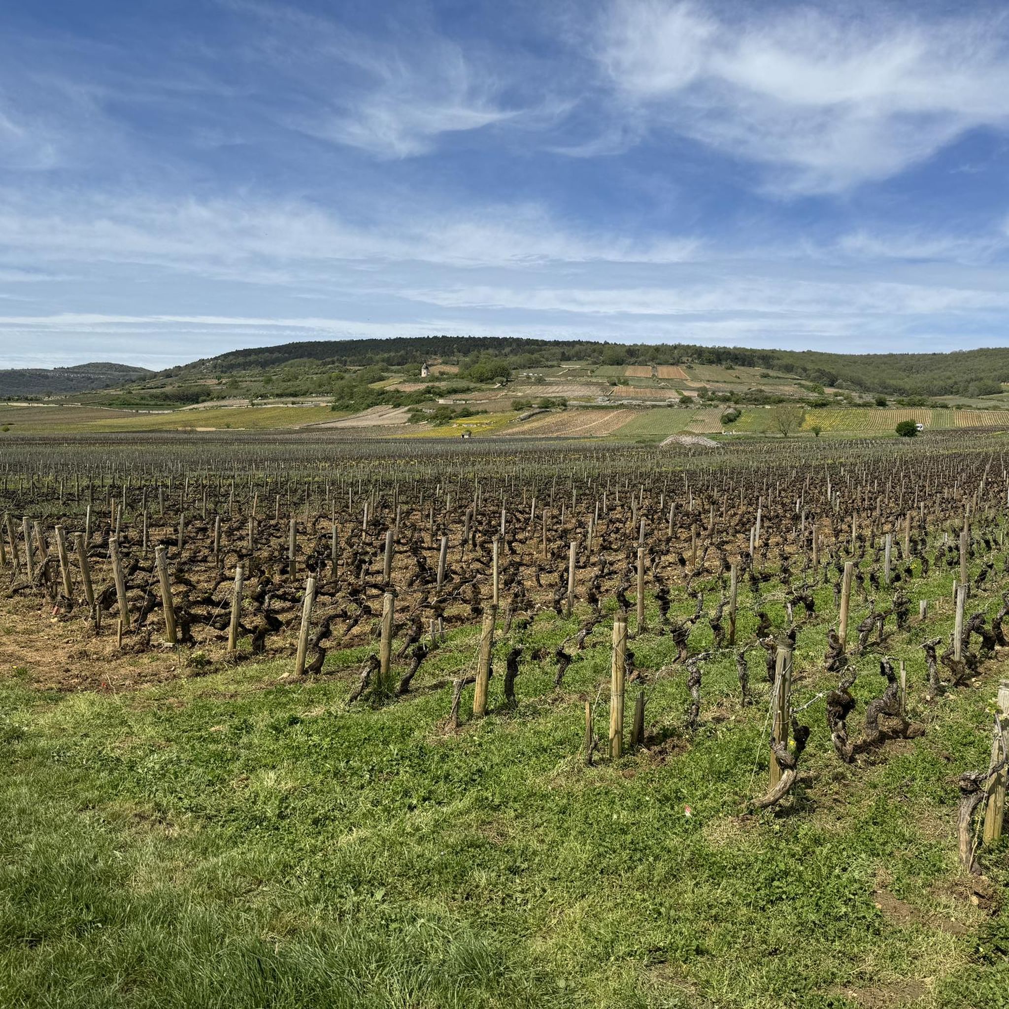
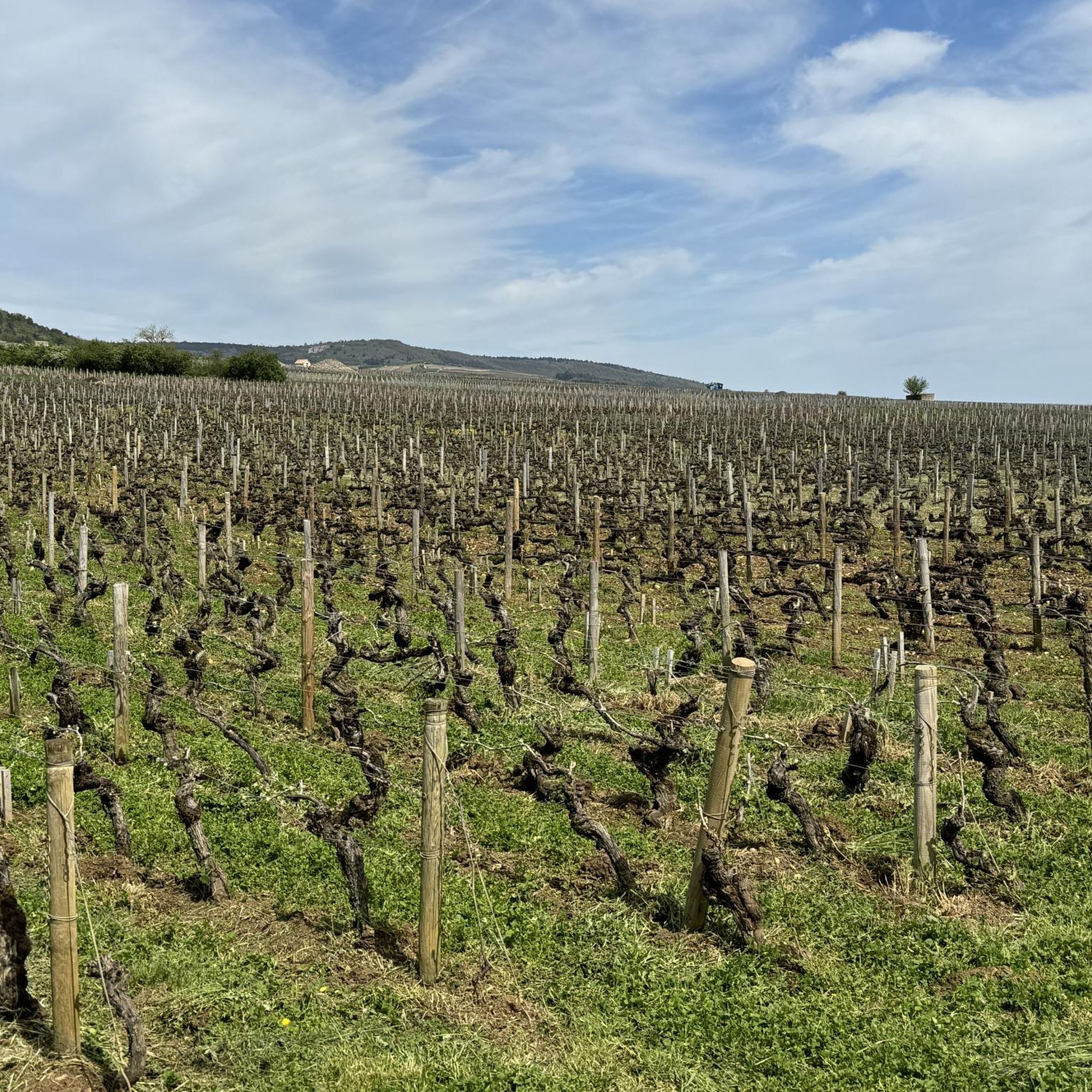
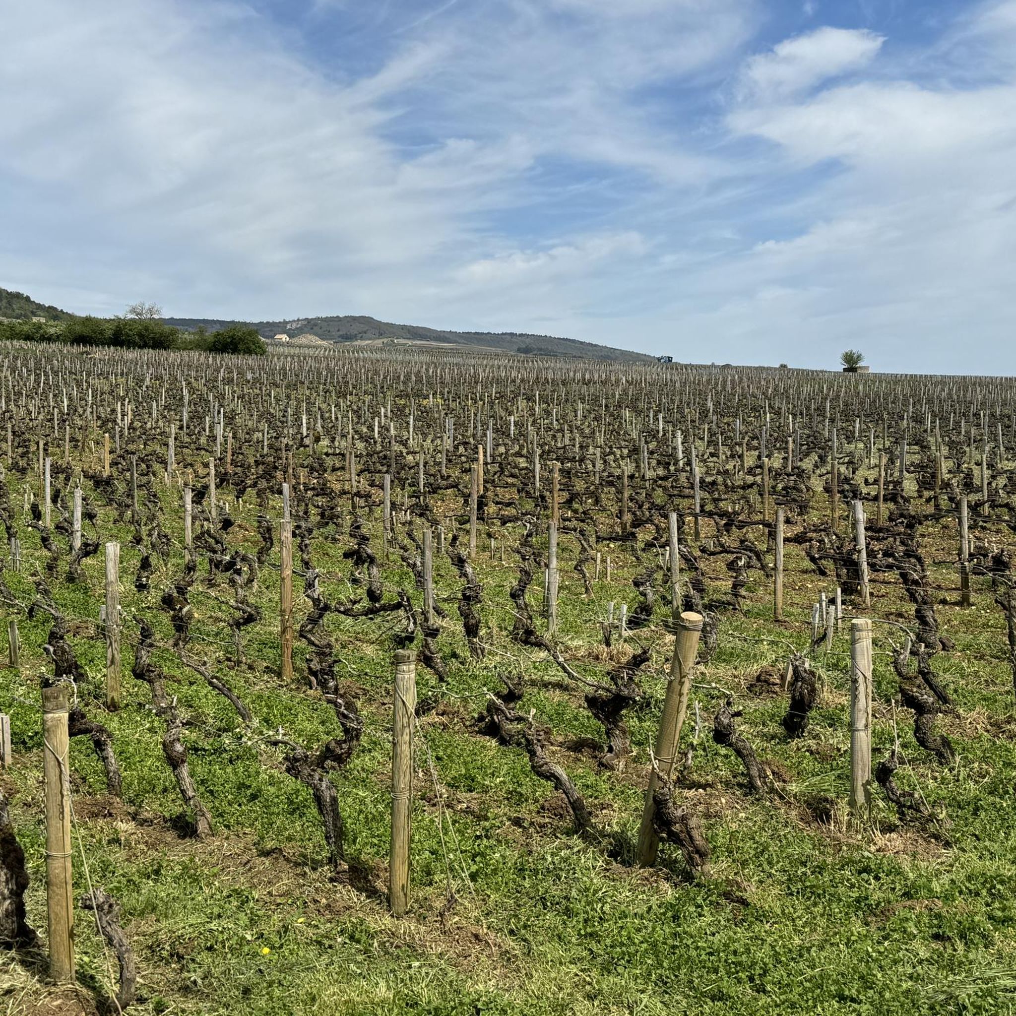
Santenay is a charming wine-growing village in Côte-d’Or. It consists of renowned vineyards, thermal baths and the Sorine mill, offering a beautiful harmony between nature and tradition.
0
0

Very pretty chapel renovated in 2004, beautiful place.
0
0

Good starting point for the tour to the 3 Crosses, a parking lot is available if you come by car
0
0
there is a nice overview of the region
0
0
A hiking trail to the right circles the Hill of the Three Crosses. First uphill, as always, then a leisurely descent. Afterwards, a quick lunch with friendly people in Santenay's market square!
0
0

Once again, the hiker – or pilgrim – passing by here will notice that this extremely exposed location was obviously chosen with care as the site for a wayside cross. The proverbial "ravages of time" have already left their mark on this small, sacred stone monument: the capital, which tops the round shaft supporting the cross, is damaged, as is the end piece of the longitudinal beam above the crossing. The cross has no body, but the attentive observer will notice one special feature: at the intersection of the longitudinal beam and the crossbeam, a heart can be seen, interpreted here in the Christian sense as a symbol of God's infinite love for humanity, whose son, Jesus Christ, redeemed us through his death on the cross.
0
0
Frequently Asked Questions
How many hiking trails are available around Remigny?
There are over 300 hiking routes around Remigny, offering a wide range of options for different skill levels and preferences. The area features rolling hills and rural landscapes, with paths connecting small villages and scenic points.
Are there easy hiking options suitable for beginners in Remigny?
Yes, Remigny offers over 130 easy hiking routes. These trails typically feature gentle slopes and open countryside, making them ideal for beginners or those looking for a relaxed walk. A good example is the Hiking loop from Santenay-les-Bains, which is moderate but has minimal elevation gain over 8.6 km.
What kind of challenging hikes can I find near Remigny?
For those seeking a challenge, Remigny has 17 difficult hiking routes. These often involve significant elevation gains and longer distances. The Santenay – Saint-Aubin Village loop from Santenay-les-Bains is a challenging 17.7 km trail with over 460 meters of ascent, leading through rural landscapes and connecting villages.
Are there circular walks available in Remigny?
Many of the hiking routes around Remigny are circular, allowing you to start and end your journey in the same location. For instance, the Hiking loop from Santenay is a 7.1 km circular route that offers a moderate experience through the local scenery.
What are some family-friendly hiking trails in Remigny?
Remigny's gentle slopes and varied terrain make it suitable for family outings. Look for shorter, easy routes that traverse agricultural areas and woodlands. Many trails connect small villages, offering opportunities for breaks and exploration with children. Consider routes with less elevation gain for younger hikers.
Can I bring my dog on the hiking trails in Remigny?
Generally, dogs are welcome on most hiking trails in the Remigny region, especially on paths through open countryside and woodlands. However, it's always advisable to keep your dog on a leash, particularly when passing through agricultural areas or near livestock, and to check local regulations for specific nature reserves if applicable.
Where can I find parking for hiking trails in Remigny?
Parking is typically available in or near the villages that serve as starting points for many trails, such as Santenay-les-Bains. Look for designated parking areas in village centers or near popular trailheads. It's often free, but always check local signage.
What is the best time of year to hike in Remigny?
The best time to hike in Remigny is generally from spring to autumn (April to October). During these months, the weather is usually mild and pleasant, and the landscapes are vibrant. Spring brings blooming wildflowers, while autumn offers beautiful foliage. Summer can be warm, so early morning or late afternoon hikes are recommended.
Are there any interesting landmarks or attractions to see along the hiking trails?
Yes, the Remigny area is rich in history and natural beauty. Along your hikes, you might encounter charming villages, vineyards, and historic sites. Nearby attractions include impressive castles like Meursault Castle and La Rochepot Castle. The Canal du Centre also offers scenic walking opportunities.
What do other hikers enjoy most about hiking in Remigny?
The hiking experience in Remigny is highly rated by the komoot community, with an average score of 4.6 stars from over 700 reviews. Hikers often praise the region's diverse terrain, from rolling hills to tranquil woodlands, and the well-maintained paths that connect picturesque villages. The blend of natural beauty and cultural points of interest is frequently highlighted.
Are there options for longer day hikes in the Remigny area?
Yes, Remigny offers several options for longer day hikes. For example, the Three Crosses Mountain – Saint-Jean de Narosse Church loop from Santenay-les-Bains is a moderate 15.3 km path that takes around 4.5 hours to complete, featuring significant elevation gain and prominent views.
Can I access hiking trails in Remigny using public transport?
Access to hiking trails via public transport can be limited in rural areas like Remigny. While some larger towns nearby may have train or bus connections, reaching specific trailheads often requires a car. It's best to check local bus schedules for connections to villages like Santenay-les-Bains, which serve as common starting points for many routes.
Most popular attractions around Remigny

Get inspired with the komoot mobile app


Explore more
Browse the best Hikes in other regions.
