The best running trails around Montceaux-Ragny
4.4
(35)
1,008
runners
159
runs
Jogging around Montceaux-Ragny offers a diverse range of routes through a protected natural environment in Burgundy-Franche-Comté. The region features varied terrain, including lush greenery, forest paths, and trails that lead to panoramic viewpoints. Its landscapes are characterized by abundant trees, plantations, and watercourses, providing a refreshing experience for runners.
Best jogging routes around Montceaux-Ragny
- The most popular jogging route is Col de Navois – Théâtre de Verdure loop from Sennecey-le-Grand, an 8.4 miles (13.5 km) trail that takes 1…
Last updated: July 6, 2026
4.8
(4)
42
runners
17.7km
02:10
400m
400m
Hard run. Very good fitness required. Mostly paved surfaces. Suitable for all skill levels.
9
runners
13.9km
01:52
450m
450m
Hard run. Very good fitness required. Mostly paved surfaces. Suitable for all skill levels.

Sign up for free
11
runners
9.70km
01:09
190m
190m
Moderate run. Good fitness required. Mostly paved surfaces. Suitable for all skill levels.
3.3
(3)
9
runners
13.6km
01:43
370m
370m
Hard run. Very good fitness required. Mostly paved surfaces. Suitable for all skill levels.
3.5
(2)
9
runners
23.4km
03:06
740m
740m
Hard run. Very good fitness required. Mostly paved surfaces. Suitable for all skill levels.
Get access to more routes and recommendations from other explorers.
Sign up for free
Already have an account?
Our route recommendations are based on thousands of hikes, rides, and runs completed by other people on komoot.
Start today with a free account
Your next adventure awaits.
Login or Signup
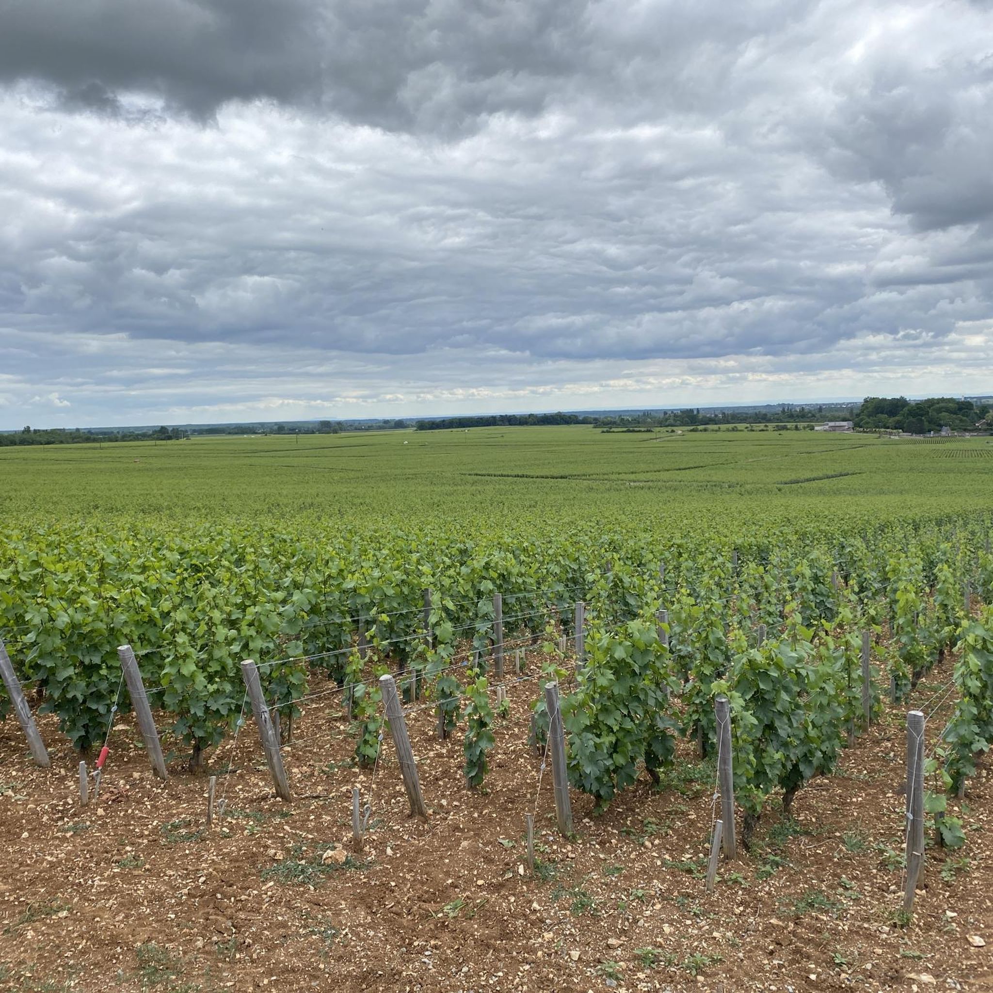

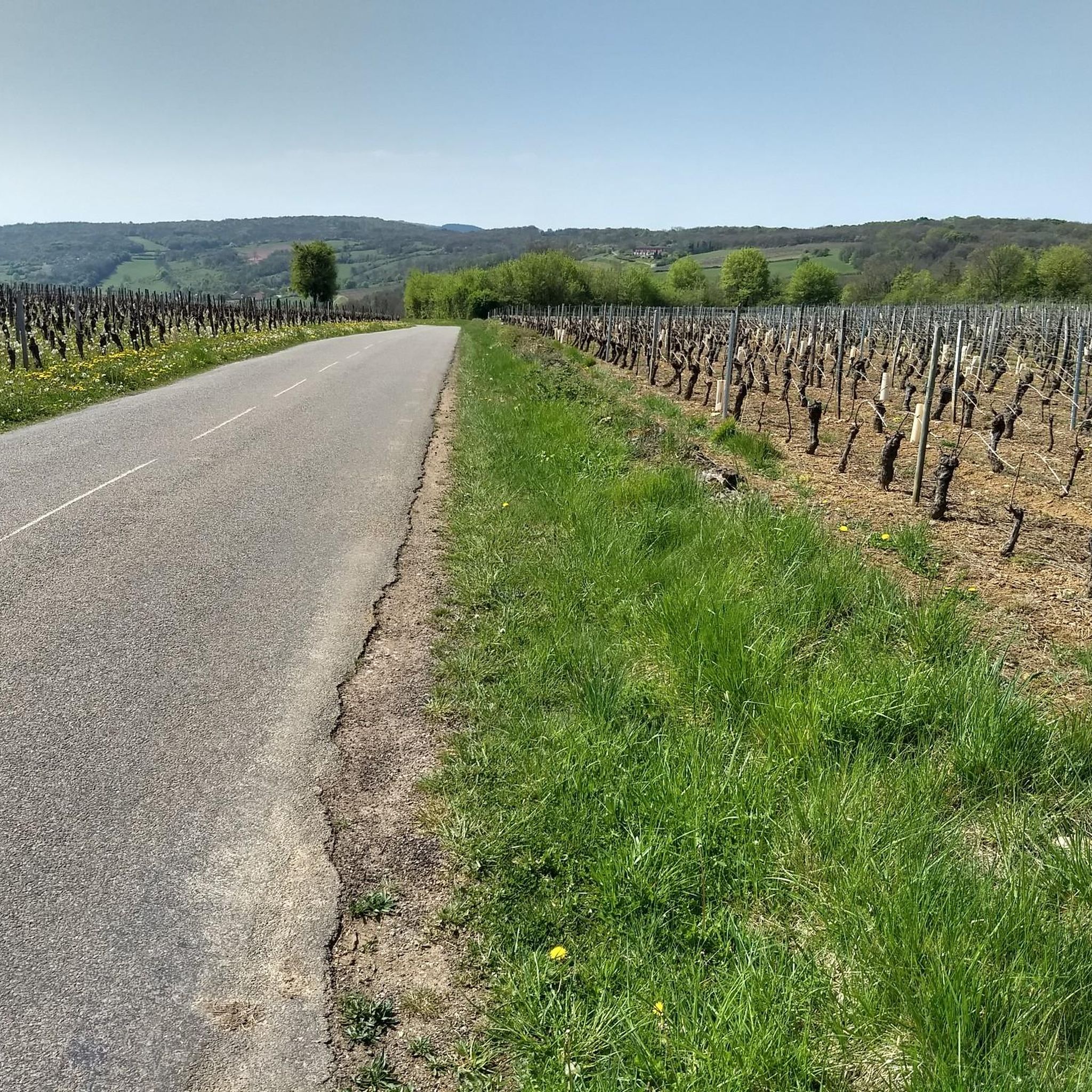
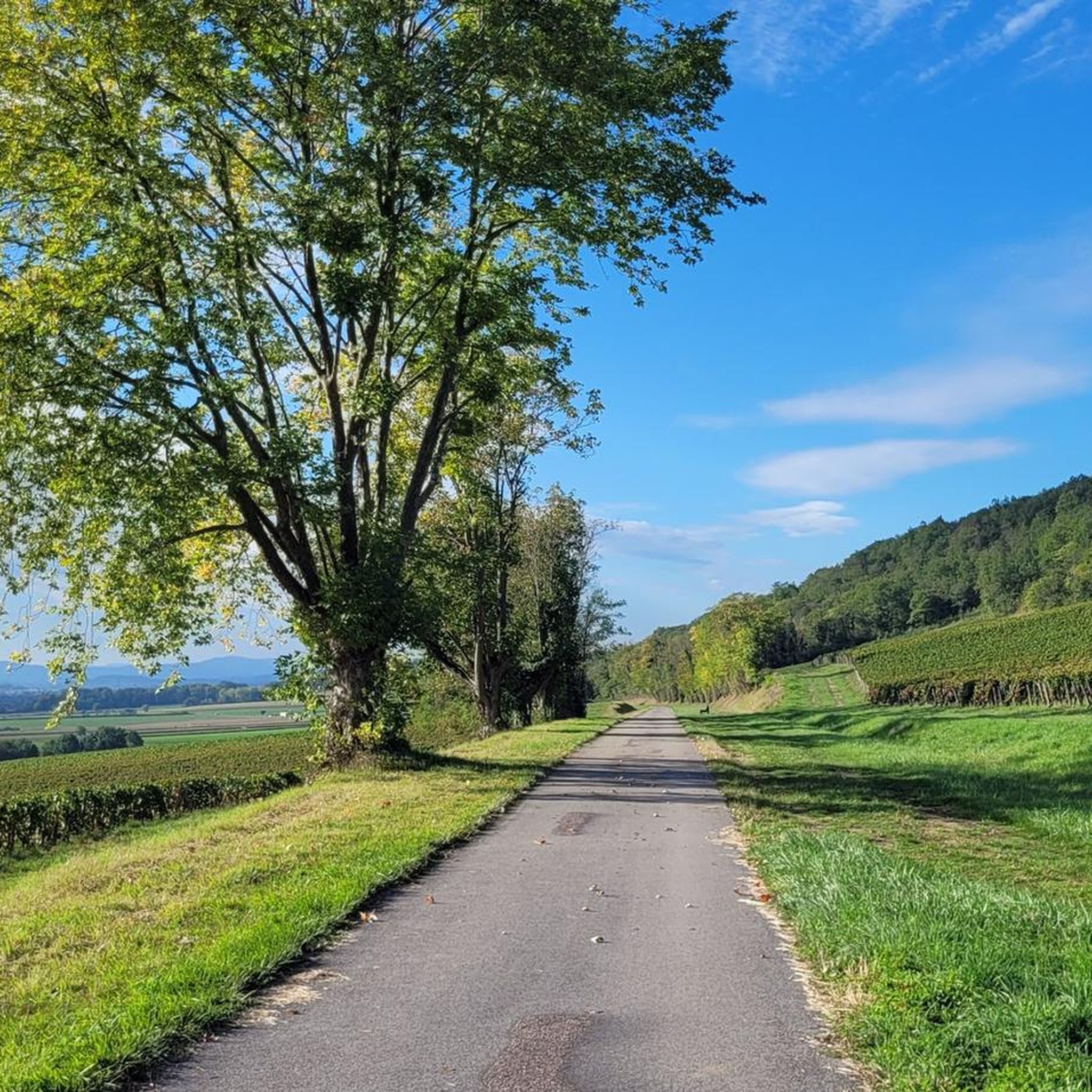

Tips from the Community

Saint-Martin-de-Laives designates the former name of the municipality of Laives, abandoned in 1793 in the revolutionary context. The name still exists today through the church of Saint-Martin-de-Laives. From the top of the hill, you can enjoy two splendid viewpoints: one over the Saône valley and the town of Sennecey, the other over the Grosne valley.
1
0

The classic ascent from Mancey is considered a tough short climb in Category 3. Over a distance of 2.2 kilometers, 166 meters of altitude must be overcome. The average gradient is 7.55%, with peak sections of up to 14%. The path junction leads to various hiking trails and gravel paths through the wooded and wine-rich hilly landscape of the Mâconnais.
0
0
The pass is located on Rue des Maquisards in the municipality of Nanton. It is a popular destination for cycling tours. The ascent from the municipality of Mancey covers a distance of 2.2 kilometers. Cyclists overcome 166 meters of altitude on this tough route with an average gradient of 7.55%. The surrounding area also offers a versatile network of trails for easy to medium-difficulty hikes through rolling hills, mixed forests, and to nearby viewpoints such as Roche d'Aujou.
0
0


Agree wholeheartedly with Benoit - ascended via Mancey a couple of day's ago. Not the longest hill I've climbed, but still glad to get to the top!
0
0

Very interesting pass for working on cardio. The ascent via Mancey is much more difficult than via Corlay. The mountain bike trails are also very nice! 😊
3
1

The Col de Navois from Mancey is 2.2 km long with a total drop of 166 m. The average gradient is 7.55% with maximum gradients of 14%.
2
0
Frequently Asked Questions
How many running routes are available around Montceaux-Ragny?
There are over 150 dedicated running routes around Montceaux-Ragny, offering a wide variety of options for all fitness levels. These include 14 easy routes, over 100 moderate trails, and nearly 40 more challenging paths.
Are there any easy or beginner-friendly jogging routes in Montceaux-Ragny?
Yes, Montceaux-Ragny offers 14 easy running routes perfect for beginners or those looking for a relaxed jog. These paths typically feature gentler terrain and less elevation gain, allowing you to enjoy the natural surroundings at a comfortable pace.
What kind of scenery can I expect on the running trails in Montceaux-Ragny?
The running trails in Montceaux-Ragny wind through diverse and picturesque landscapes. You can expect lush greenery, dense forest paths, and trails alongside watercourses. Many routes also lead to panoramic viewpoints, offering expansive views of the Burgundy-Franche-Comté region. The area is a protected site, ensuring a rich natural environment.
Are there any running routes that offer scenic viewpoints?
Absolutely! Many routes in the area are known for their stunning vistas. For example, the Viewpoint loop from Laives is a challenging trail that provides expansive views, including the notable Roche d'Aujou viewpoint. The region's varied terrain often leads to elevated spots with beautiful outlooks.
Can I find circular running routes around Montceaux-Ragny?
Yes, many of the running routes around Montceaux-Ragny are circular, allowing you to start and finish at the same point. A great example is the Col de Navois – Théâtre de Verdure loop from Sennecey-le-Grand, which offers a rewarding circular experience through varied terrain.
What are some interesting landmarks or attractions I might see while running?
While jogging, you might encounter charming traditional architecture within the village, such as a 17th-century chapel or a historic washhouse. A unique highlight is the Théâtre de Verdure, an ancient-style open-air theater nestled amidst vegetation, which serves as a starting point for several loops. Nearby, you can also find historical sites like Brancion Castle.
What do other runners say about the trails in Montceaux-Ragny?
The running trails in Montceaux-Ragny are highly rated by the komoot community, with an average score of 4.1 stars from over 20 reviews. Runners frequently praise the lush greenery, varied terrain, and the refreshing experience of jogging through a protected natural environment. Many appreciate the options for different ability levels and the panoramic viewpoints.
Are there any running routes accessible by public transport?
While Montceaux-Ragny is a quaint village, many routes, such as the Viewpoint loop from Sennecey-le-Grand, start from nearby towns like Sennecey-le-Grand, which may offer better public transport connections. It's advisable to check local bus schedules for connections to these starting points.
Are there running routes suitable for families with children?
Yes, among the 14 easy routes available, you can find paths that are suitable for families. These trails typically have less elevation and are shorter in distance, making them enjoyable for children. Look for routes with gentler gradients and well-maintained surfaces for a pleasant family outing.
What is the typical length and duration of running routes in this area?
The running routes around Montceaux-Ragny vary significantly in length and duration. You can find shorter routes, like the Running loop from Nanton, which is about 6 km (3.7 miles) and takes around 40 minutes. Longer, more challenging routes can extend up to 13.5 km (8.4 miles) and take over 1 hour 30 minutes to complete, such as the Col de Navois – Théâtre de Verdure loop from Sennecey-le-Grand.
Are there options for less crowded running trails?
Given the abundance of over 150 routes, it's possible to find less crowded trails, especially during off-peak hours or by exploring some of the lesser-known paths. The protected natural environment ensures a tranquil experience, and many trails wind through dense vegetation, offering a sense of solitude.
Most popular routes around Montceaux-Ragny
Most popular attractions around Montceaux-Ragny

Get inspired with the komoot mobile app


Explore more
Browse the best Running Trails & Routes in other regions.
