The best walks and hikes around Farges-Lès-Mâcon
4.4
(252)
1,173
hikers
136
hikes
Hiking trails around Farges-Lès-Mâcon traverse a varied landscape in the Saône-et-Loire department of eastern France. The region features diverse topography, with elevations ranging from 168m to 322m, offering both gentle paths and moderate ascents. Hikers can explore vineyard countryside, ancient woodlands like the Bois de Boulay, and unique geological formations such as the sand dunes near La Truchère-Ratenelle. Panoramic views of the surrounding territory, extending towards the Saône river, are accessible from various points.
Best hiking trails around Farges-Lès-Mâcon
- The…
Last updated: June 27, 2026
4.7
(6)
23
hikers
Easy hike. Great for any fitness level. Easily-accessible paths. Suitable for all skill levels.
3.3
(4)
17
hikers
8.17km
02:04
10m
10m
Moderate hike. Good fitness required. Easily-accessible paths. Suitable for all skill levels.

Sign up for free
4.6
(5)
14
hikers
11.3km
02:53
40m
40m
Moderate hike. Good fitness required. Easily-accessible paths. Suitable for all skill levels.
5.0
(3)
11
hikers
8.96km
02:34
210m
210m
Moderate hike. Good fitness required. Easily-accessible paths. Suitable for all skill levels.
5.0
(3)
10
hikers
27.5km
07:45
580m
580m
Hard hike. Very good fitness required. Easily-accessible paths. Suitable for all skill levels.
Get access to more routes and recommendations from other explorers.
Sign up for free
Already have an account?
Our route recommendations are based on thousands of hikes, rides, and runs completed by other people on komoot.
Start today with a free account
Your next adventure awaits.
Login or Signup


Tips from the Community

Spacious parking lot about 300m before the medieval site.
1
0
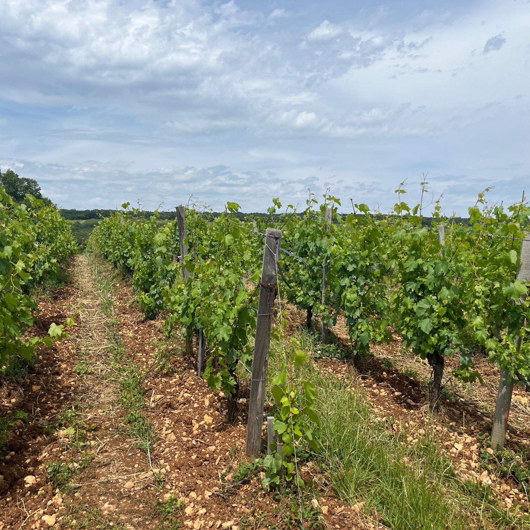
In this small town with its surrounding endless vineyards, everyone seems to live from viticulture.
1
0

Beautiful Romanesque church, unfortunately closed
1
0

This small, typical Burgundian village is nestled in the middle of the vineyards. A few souls populate this world-famous town. Indeed, Chardonnay is the origin of the name given to the white grape variety grown on its land.
3
0

Start your hike to this charming medieval fortress from here and walk through the surrounding vineyards and lush countryside, setting the scene for a scenic exploration. As you climb towards the castle, the trail offers stunning views of rolling hills and distant villages.
2
0

The reserve offers a rather astonishing landscape for the region since it includes sand dunes that are 5,000 years old. A stone's throw from the sand, the peat bogs spread over more than five hectares, in a waterlogged setting. A stone's throw away, the Fouget pond and its marshland also constitute a refuge for fauna and flora to be discovered by taking the dedicated path.
1
0

The continental dunes of Sermoyer, called "Dunes des Charmes", constitute a quite remarkable habitat due to its rarity at the European level, but also due to its fragility which makes it a very threatened habitat. Despite the administrative and biological "cuts" (Seille river), these dunes cannot be dissociated from those of Truchère, located in Saône-et-Loire (Burgundy region), which are also part of the Natura 2000 network (Natural Reserve national Truchère-Ratenelle), whose habitats and problems are identical. We are in the presence of fixed dunes, with bare areas or low residual vegetation, a rare habitat in Europe.
0
0
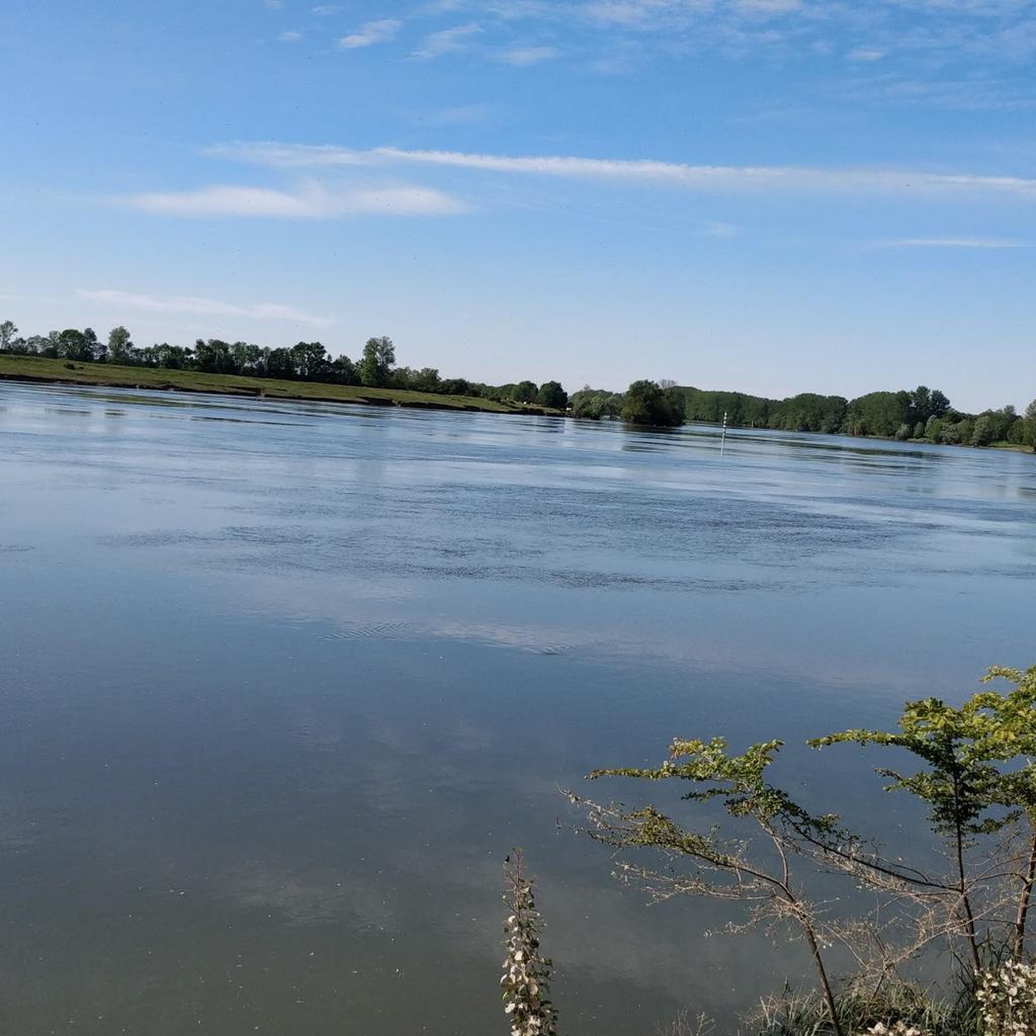
Departure of the walk on the Seille from this place
0
0
Frequently Asked Questions
How many hiking trails are available in Farges-lès-Mâcon?
There are over 130 hiking routes in the broader Farges-lès-Mâcon area, offering a wide range of options for different preferences and skill levels. Within the commune itself, there are at least three marked trails totaling 19 km.
What kind of terrain can I expect on hikes around Farges-lès-Mâcon?
The Farges-lès-Mâcon region features diverse topography, with elevations ranging from 168m to 322m. You'll find a mix of vineyard countryside, ancient woodlands like the Bois de Boulay, and unique geological formations such as the sand dunes near La Truchère-Ratenelle. This variety provides both gentle paths and moderate ascents.
Are there any family-friendly hiking options in Farges-lès-Mâcon?
Yes, Farges-lès-Mâcon offers numerous family-friendly trails. With 57 easy routes available, you can find paths suitable for all ages. An example is the View of the village of Plottes – Viewpoint at Collines de Crà loop from Plottes, which is an easy 6.8 km trail offering pleasant views.
Are dogs allowed on the hiking trails in Farges-lès-Mâcon?
Most trails in the Farges-lès-Mâcon area are dog-friendly, but it's always advisable to keep your dog on a leash, especially when passing through vineyards, near livestock, or in nature reserve areas like the sand dunes. Always carry water for your pet and clean up after them.
What are some unique natural features I can explore while hiking?
The region is home to several unique natural features. You can explore the astonishing sand dunes near La Truchère-Ratenelle, which were shaped by wind thousands of years ago. The area also boasts picturesque vineyard landscapes and the historic Bois de Boulay, where traces of the ancient Roman road, Via Agrippa, have been found.
Are there any circular hiking routes available?
Yes, many routes in the Farges-lès-Mâcon area are circular, allowing you to start and end at the same point. For instance, the Dunes de Sermoyer – Seille landing stage loop from La Truchère is a 11.3 km circular trail that takes you through the distinctive dune landscape.
What are the difficulty levels of the hikes in this region?
The hiking trails around Farges-lès-Mâcon cater to various fitness levels. There are 57 easy routes, 67 moderate routes, and 9 more challenging trails. This variety ensures that both casual walkers and experienced hikers can find suitable options.
What do other hikers enjoy most about hiking in Farges-lès-Mâcon?
The area is highly rated by the komoot community, with an average score of 4.4 stars from over 200 reviews. Hikers frequently praise the diverse landscapes, from the tranquil vineyard routes to the unique sand dunes, and the well-maintained network of trails that allow for exploration of both natural beauty and historical elements.
Are there any notable viewpoints or panoramic vistas along the trails?
Yes, several points offer panoramic views. The 'carrière à la montagne' (mountain quarry) provides extensive views of Farges-lès-Mâcon and its surroundings, stretching towards the Saône river. Many vineyard routes also offer picturesque vistas of the rolling countryside.
What historical sites or attractions can I visit near the hiking trails?
Beyond the trails, you can explore several historical sites. The 11th-century Saint-Barthélémy Church in Farges-lès-Mâcon is a local monument. Nearby, you can visit Brancion Castle (8.6 km away) or the Romanesque masterpiece, Abbaye Saint Philibert in Tournus (6 km away). The Azé Caves are also a point of interest.
Is there public transport available to reach the trailheads?
While Farges-lès-Mâcon is a rural area, local bus services might connect to nearby towns. However, for direct access to many trailheads, especially those in more remote natural areas, personal transport is generally recommended. It's best to check local transport schedules for specific routes.
Where can I find parking for hiking trails in Farges-lès-Mâcon?
Parking is generally available in the villages and near popular trailheads. For example, when hiking routes like the View of the village of Plottes – Viewpoint at Collines de Crà loop from Plottes, you can typically find parking within Plottes itself. For trails starting from La Truchère, designated parking areas are usually available near the Seille landing stage.
What is the best time of year to go hiking in Farges-lès-Mâcon?
Spring and autumn are generally considered the best times for hiking in Farges-lès-Mâcon. In spring, the vineyards are vibrant green and wildflowers bloom, while autumn offers beautiful foliage and pleasant temperatures. Summer can be warm, but early mornings or late afternoons are still enjoyable. Winter hiking is possible, though some paths might be muddy.
Most popular routes around Farges-Lès-Mâcon
Most popular attractions around Farges-Lès-Mâcon

Get inspired with the komoot mobile app


Explore more
Browse the best Hikes in other regions.
