Top 10 Mountain Passes around Angoustrine-Villeneuve-Des-Escaldes
Best mountain passes around Angoustrine-Villeneuve-Des-Escaldes are situated in the French Pyrenees, a region known for its mountain landscapes. The area provides access to significant mountain passes, including the notable Portella de la Grava, a pedestrian pass at 2,426 meters. This region offers diverse geological formations and serves as a passage for various trails, including sections of the GR10.
Best mountain passes around Angoustrine-Villeneuve-Des-Escaldes
- The most popular mountain passes is Col de la Perche (1,579 m), a mountain pass that…
Last updated: October 13, 2026
Col du Calvaire (Font-Romeu)
Highlight • Mountain Pass
Translated by Google •
Tip by

Col de la Perche (1,579 m)
Highlight • Mountain Pass
More information: quaeldich.de/paesse/col-de-la-perche
Translated by Google •
Tip by

Sign up now to discover places like this
Get recommendations on the best single tracks, peaks, & plenty of other exciting outdoor places.
Puymorens Pass
Highlight • Mountain Pass
Translated by Google •
Tip by

Porteille des Bésines
Highlight • Mountain Pass
Translated by Google •
Tip by

Coma d'Anyell Pass
Highlight • Mountain Pass
Historically, the pass has long served as a …
Translated by Google •
Tip by
Sign up for free to discover even more mountain passes around Angoustrine-Villeneuve-Des-Escaldes.
Already have an account?
Start today with a free account
Your next adventure awaits.
Popular around Angoustrine-Villeneuve-Des-Escaldes

Haute Route Pyrénéenne – Pyrenees Crossing
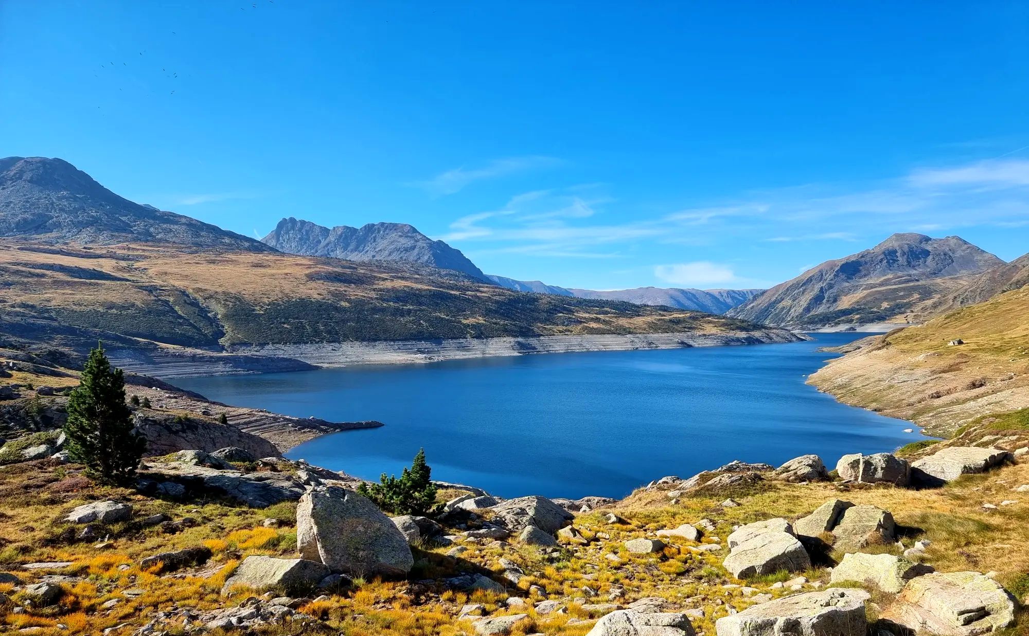
Tour des Pérics – Carlit and Grand Péric variants
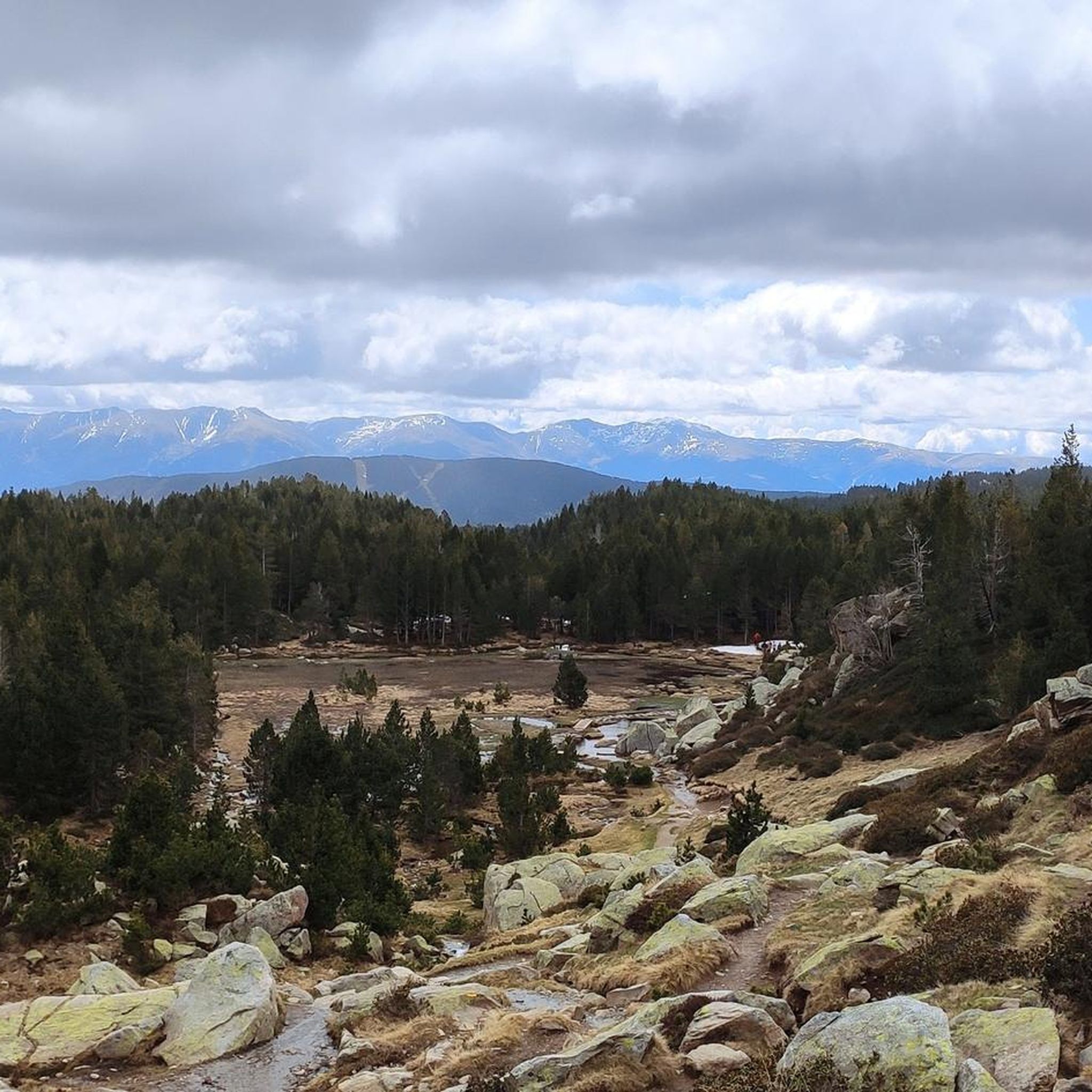
Hiking around Angoustrine-Villeneuve-Des-Escaldes
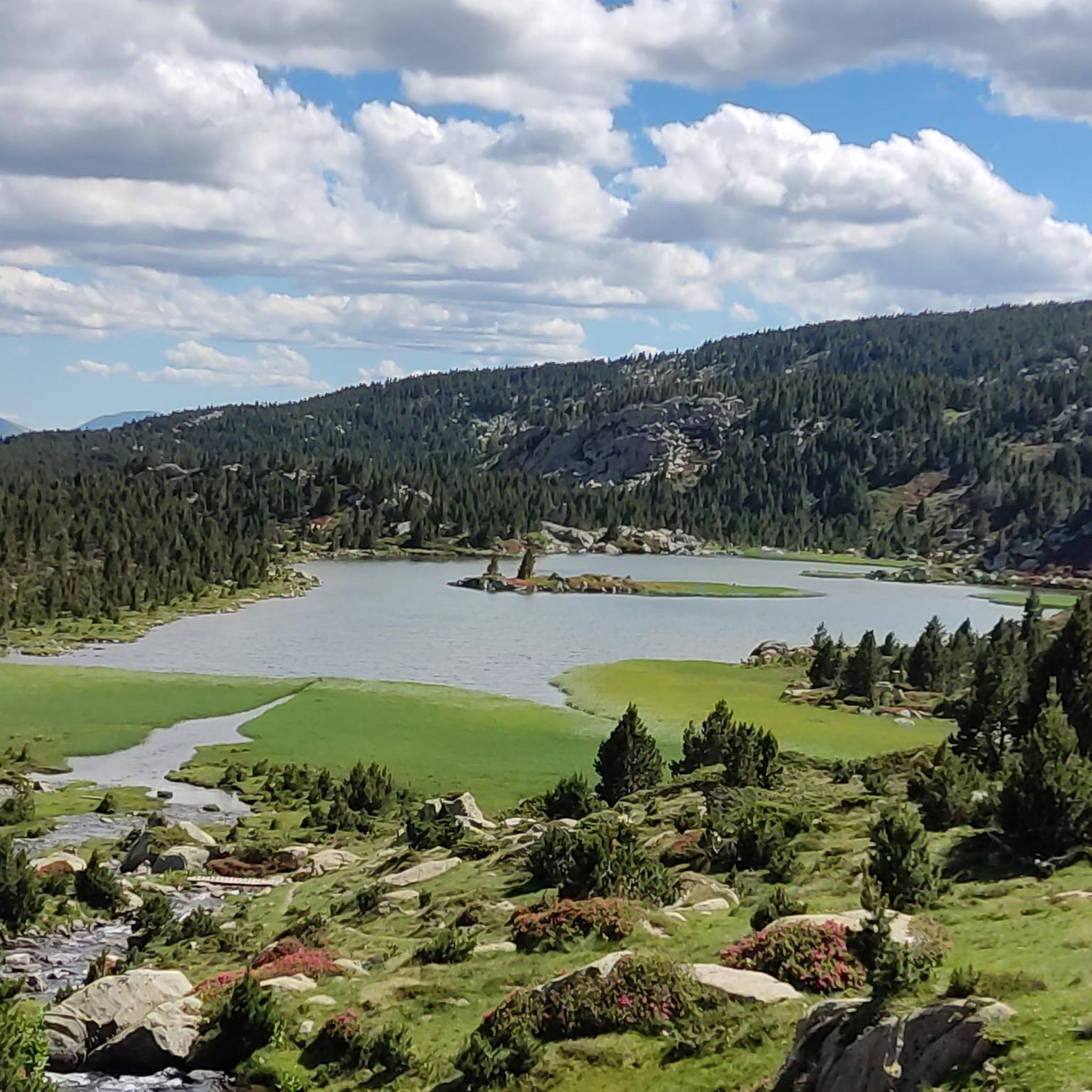
Running Trails around Angoustrine-Villeneuve-Des-Escaldes
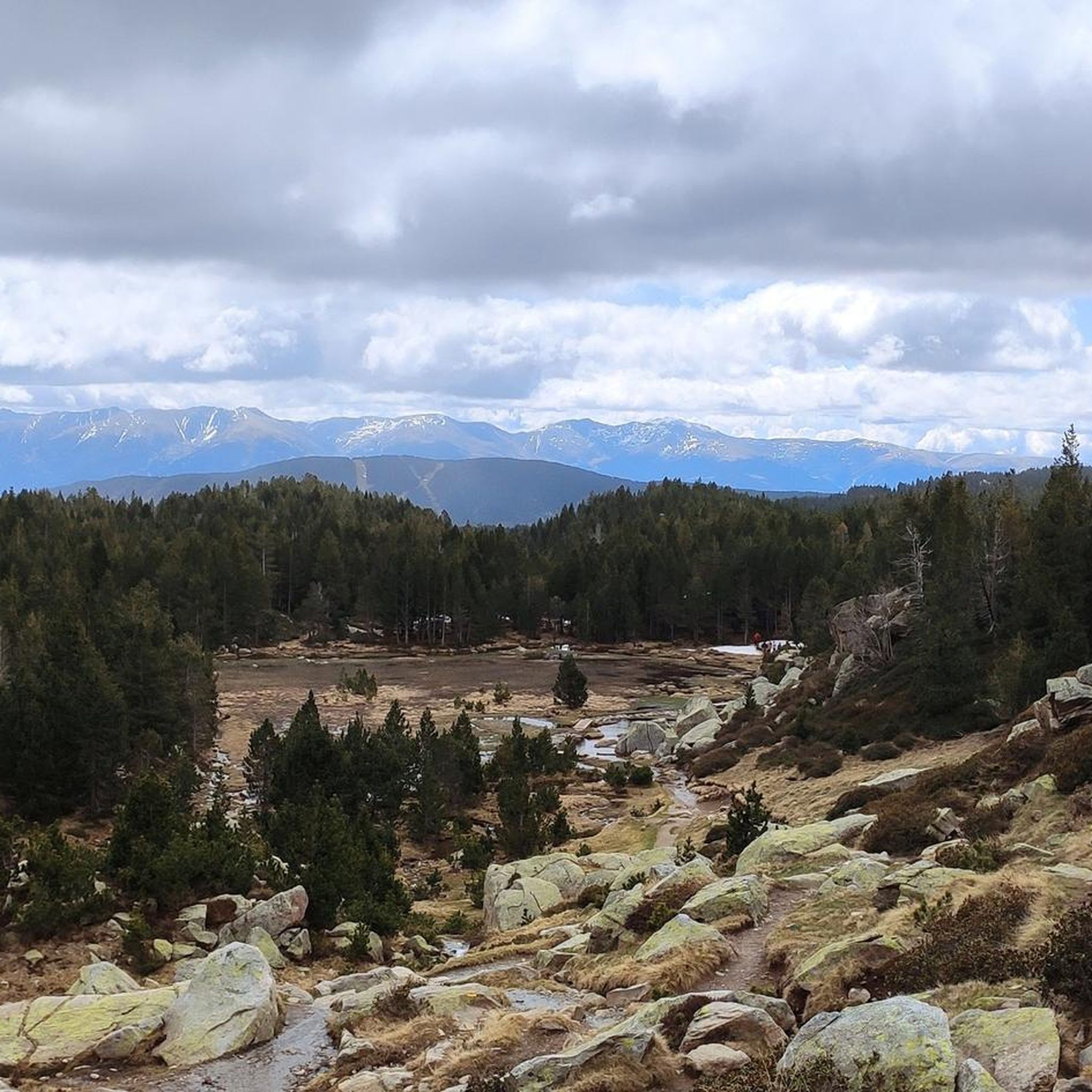
Cycling around Angoustrine-Villeneuve-Des-Escaldes
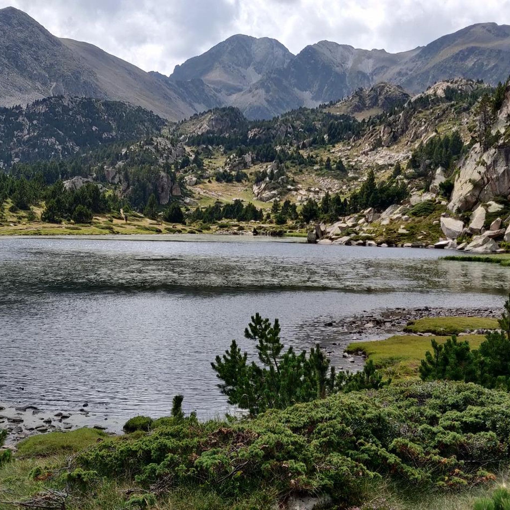
MTB Trails around Angoustrine-Villeneuve-Des-Escaldes
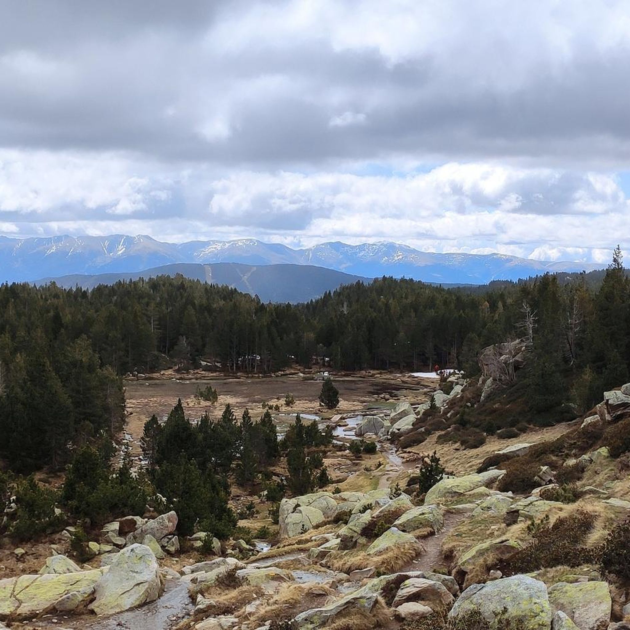
Road Cycling Routes around Angoustrine-Villeneuve-Des-Escaldes

Gravel biking around Angoustrine-Villeneuve-Des-Escaldes
Mountain Hikes around Angoustrine-Villeneuve-Des-Escaldes
Other adventures around Angoustrine-Villeneuve-Des-Escaldes


Tips from the Community

Grandiose pass, mid-June with many snowfields for running up and sliding down. Wonderful views all around, to Pic Carlit, Puig Péric and many other peaks, to Lac de Lanoux and Lac d'En Beys (on the mountainside just before the pass) and into the valley towards Hospitalet-près-l'Andorre.
0
0

The only positive thing about this pass is its relatively moderate gradient. The traffic (until the road to Andorra turns off) is horrific. Hordes of motorcyclists, trucks, cars... If you can, you should avoid this pass.
2
0

Although limited to 70 km/h, the tunnel is not passable by bicycle. There's even an electronic toll system.
2
0

Well, starting from Font Romeu and breaking legs from Mont Louis
0
0


Still some snowfields in May
1
0

The Col de la Calvaire de Font Romeu is a mountain pass in French Cerdanya, next to the town and ski resort of Font Romeu. This port connects the Bolquère valley with the Cerdanya valley. The port is within the same town of Font Romeu, next to the station's ski lifts. There are many slopes to reach Col de la Calvaire: - the western slope that starts from Ur is approximately 16 km and crosses the town of Targasone and the Col d'Egat. It is a very steep climb along a road in perfect condition, although on holidays there is a lot of traffic. - The southern slope starts from Llívia and crosses Estavar and joins the previous one at the Col d'Egat. Unlike the first, the first section of the climb is very hard, with several horseshoe curves and with wonderful views of the entire Cerdanya and the Tosa d'Alp. - The eastern slope stops at Olette, and after approximately 28 km it reaches the top of the pass, passing through the town of Mont-Louis and Bolquère. It is a very steep climb, like the first, on a road in perfect condition but with a lot of traffic. I don't like going up here. - the eastern slope that starts from Olette and passes through the Col de la Perche, reaching the town of Font-Romeu and from there to the top. Of all the slopes, the one I like the most is the slope that starts from Llívia and crosses Estavar.
0
0

Culminating at 1,579 meters above sea level, the Col de la Perche can be climbed by four routes in total. Each of them includes relatively gentle slopes. At the top, the view of the surrounding area is splendid and rewards your efforts!
0
0
Frequently Asked Questions
What are some notable mountain passes to explore around Angoustrine-Villeneuve-Des-Escaldes?
The region offers a variety of passes. The Col de la Perche (1,579 m) provides 360° views of the Catalan Pyrenees natural park. For cyclists, Puymorens Pass is a well-developed route with moderate inclines and scenic curves. The Col du Calvaire (Font-Romeu), located within the town of Font-Romeu, connects the Bolquère and Cerdanya valleys. Additionally, the pedestrian Portella de la Grava at 2,426 meters offers breathtaking panoramas and is part of the GR10 long-distance hiking trail.
What kind of natural features can I expect to see from the mountain passes?
From the mountain passes, you can expect expansive views of the Pyrenean landscape, including mountains, valleys, and plains. The Col de la Perche offers 360° views of the Catalan Pyrenees natural park. From Portella de la Grava, you can see the Carlit, the Bouillouses lakes, the Péric, the Sierra de Cadi, and the Cerdagne valley. The region is also characterized by diverse geological formations, from Cambrian schists to Hercynian granite.
Are there hiking trails near the mountain passes?
Yes, the area around Angoustrine-Villeneuve-Des-Escaldes is a haven for hikers. The Portella de la Grava is a key point on the GR10, a long-distance hiking trail. You can find numerous marked trails for exploring the beauty of the region. For more detailed hiking routes, explore the Hiking around Angoustrine-Villeneuve-Des-Escaldes guide, which includes routes like the challenging Pic Carlit hike from Lac des Bouillouses.
What is the difficulty level of hiking over Portella de la Grava?
The Portella de la Grava is known for its steep paths, making it ideal for adventurers seeking natural discoveries. It's a pedestrian pass at 2,426 meters, forming part of the GR10. While offering exceptional panoramas, hikers should be prepared for challenging terrain suitable for experienced mountain enthusiasts.
Can I find routes suitable for cycling over the mountain passes?
Absolutely. The region is popular for cycling. Puymorens Pass is specifically highlighted as a cycle way, offering a well-developed route with a moderate incline and many curves, made more pleasant for cyclists as a tunnel absorbs most traffic. The Col du Calvaire (Font-Romeu) also has various routes, some with steep climbs, that are popular with cyclists. For more cycling options, check out the Road Cycling Routes around Angoustrine-Villeneuve-Des-Escaldes guide.
Are there any family-friendly mountain passes or trails in the area?
While many mountain passes in the region involve steep climbs, some areas offer more accessible options. The Col de la Perche, for instance, can be climbed via routes with relatively gentle slopes, making it potentially suitable for families looking for less strenuous ascents. Always check specific trail details for suitability before heading out with children.
What is the best time of year to visit the mountain passes around Angoustrine-Villeneuve-Des-Escaldes?
The best time to visit the mountain passes is generally during the warmer months, from late spring to early autumn (May to October), when trails are clear of snow and weather conditions are more stable. During these months, you'll experience pleasant temperatures and optimal visibility for enjoying the panoramic views. Winter visits are possible for those equipped for snow and ice, but many high-altitude passes may be inaccessible or require specialized gear.
What is the Porteille des Bésines?
The Porteille des Bésines is a mountain pass, with 'porteille' being the Occitan term for 'col'. It's accessible from the south via the Bésines refuge or from the north via the Estagnas pond. While the south face is slightly rougher, the ascent doesn't typically pose great technical difficulties, though weather can make it more challenging. From the pass, you can observe the surging peaks of the Catalan Pyrenees Regional Natural Park.
Are there any cafes or places to get refreshments near the mountain passes?
Yes, some passes offer amenities. For example, at the top of the Coll de la Llose, there is a bar where you can stop for a drink after your climb. For other passes, it's advisable to carry your own refreshments, especially on more remote trails. The nearby towns like Font-Romeu (near Col du Calvaire) will have more options.
What makes the Angoustrine Valley historically significant?
The Angoustrine Valley, while not a pass itself, has historically served as a crucial passage. It was traditionally used for transhumance, allowing cattle from Llívia to graze in the Bouillouses sector. This historical use highlights its importance as a natural corridor through the Pyrenees.
What is the highest point in the Pyrénées-Orientales department, and can I visit it?
The highest point in the Pyrénées-Orientales department is Pic Carlit, standing at 2,921 meters (9,583 feet). It offers wide panoramas over the valley and its numerous lakes. While not a pass, it's a significant peak accessible via challenging hiking routes. You can find routes to Pic Carlit in the Mountain Hikes around Angoustrine-Villeneuve-Des-Escaldes guide, such as the 'Peak Carlit loop from Lac des Bouillouses'.
What is the Coll de la Llose?
The Coll de la Llose, at an altitude of 1866 meters, is a mountain pass that separates the plateau from the Quillane pass with the Capcir region. It's known for being relatively simple and fast to ascend from the La Llagonne side, and offers numerous loops for further exploration. There's also a bar at the top for refreshments.
Most popular routes around Angoustrine-Villeneuve-Des-Escaldes
Most popular attractions around Angoustrine-Villeneuve-Des-Escaldes

Get inspired with the komoot mobile app


Explore more
See even more epic mountain passes by checking out these guides around Angoustrine-Villeneuve-Des-Escaldes:
