The best walks and hikes around Puyvalador
4.6
(1207)
12,756
hikers
234
hikes
Hiking around Puyvalador, nestled in the Pyrénées-Orientales department within the Capcir massif, offers diverse landscapes for outdoor activities. The region is characterized by extensive pine forests, numerous picturesque lakes such as Lac de Puyvalador, and the scenic Galbe Valley. These natural features provide varied terrain for exploration, from accessible lakeside paths to more challenging routes through mountain forests.
Best hiking trails around Puyvalador
- The most popular hiking route is Puyvalador Dam loop from Puyvalador, a 4.2 miles (6.7 km)…
Last updated: October 12, 2026
4.7
(18)
199
hikers
6.74km
01:48
80m
80m
Easy hike. Great for any fitness level. Easily-accessible paths. Suitable for all skill levels.
5.0
(1)
16
hikers
9.84km
02:52
240m
240m
Moderate hike. Good fitness required. Easily-accessible paths. Suitable for all skill levels.

5.0
(4)
35
hikers
3.03km
01:00
150m
150m
Easy hike. Great for any fitness level. Easily-accessible paths. Suitable for all skill levels.
4.0
(3)
23
hikers
10.8km
03:50
650m
640m
Moderate hike. Good fitness required. Easily-accessible paths. Suitable for all skill levels.
5.0
(3)
8
hikers
12.3km
03:19
160m
160m
Moderate hike. Good fitness required. Easily-accessible paths. Suitable for all skill levels.
Get access to more routes and recommendations from other explorers.
Already have an account?
Our route recommendations are based on thousands of hikes, rides, and runs completed by other people on komoot.
Start today with a free account
Your next adventure awaits.


Tips from the Community

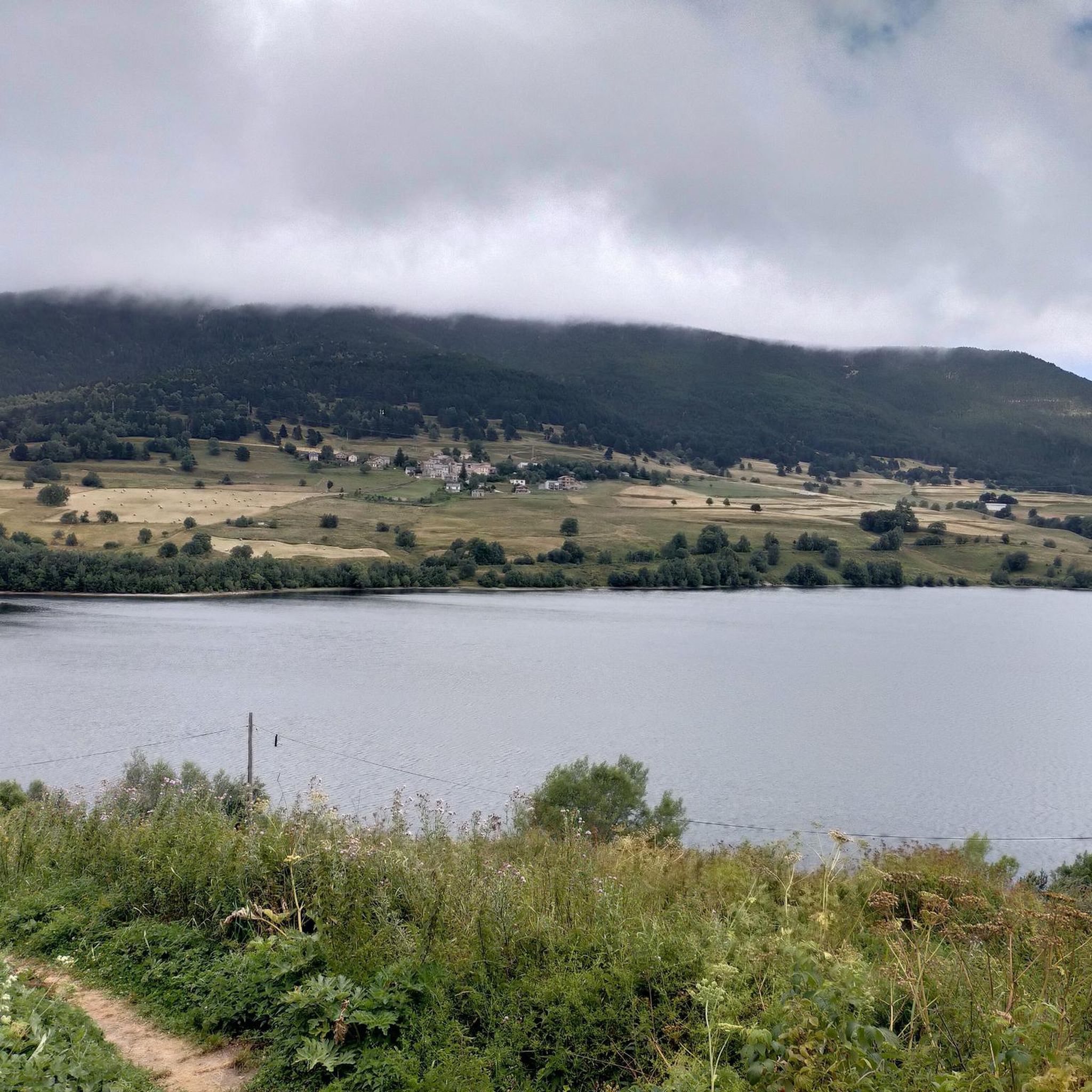
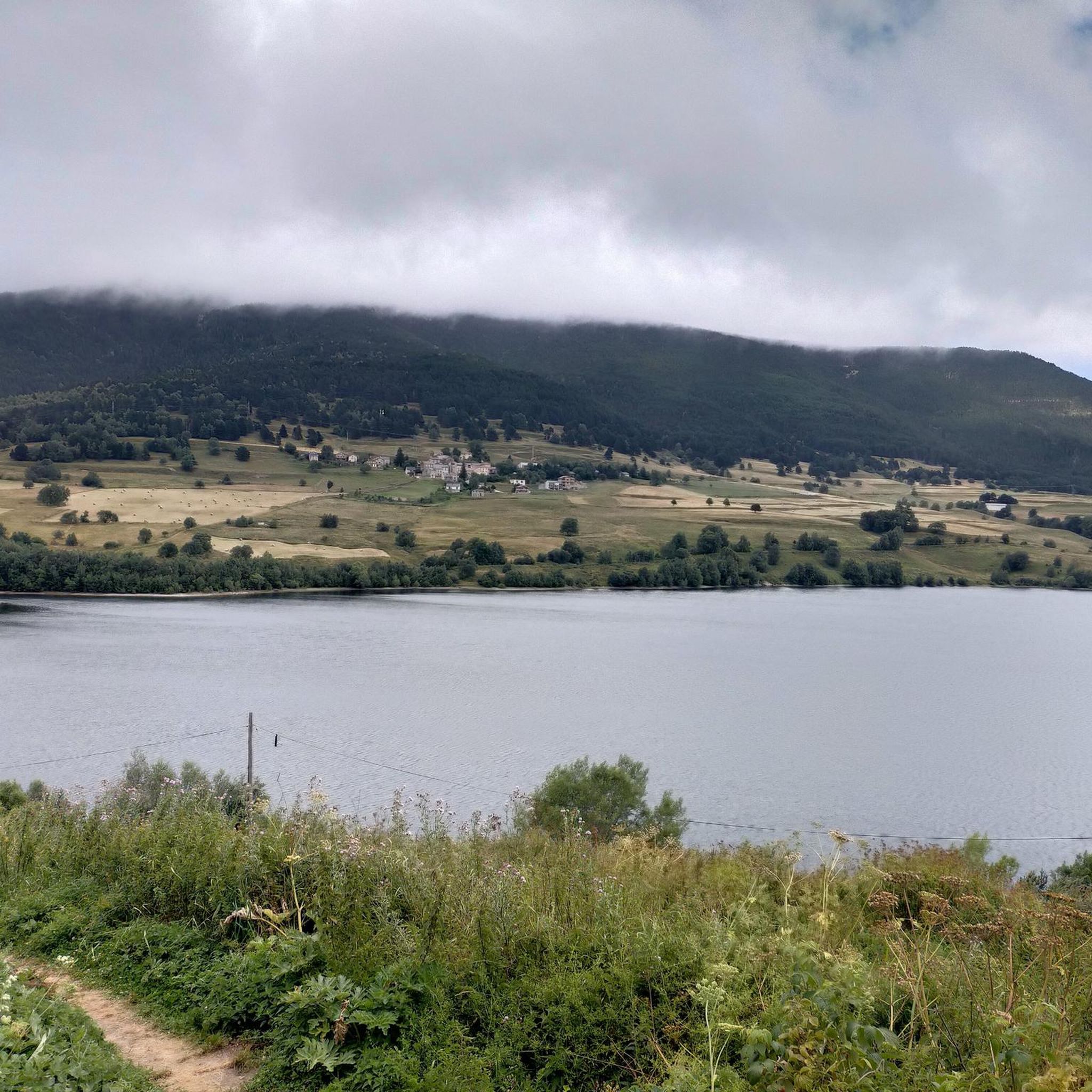
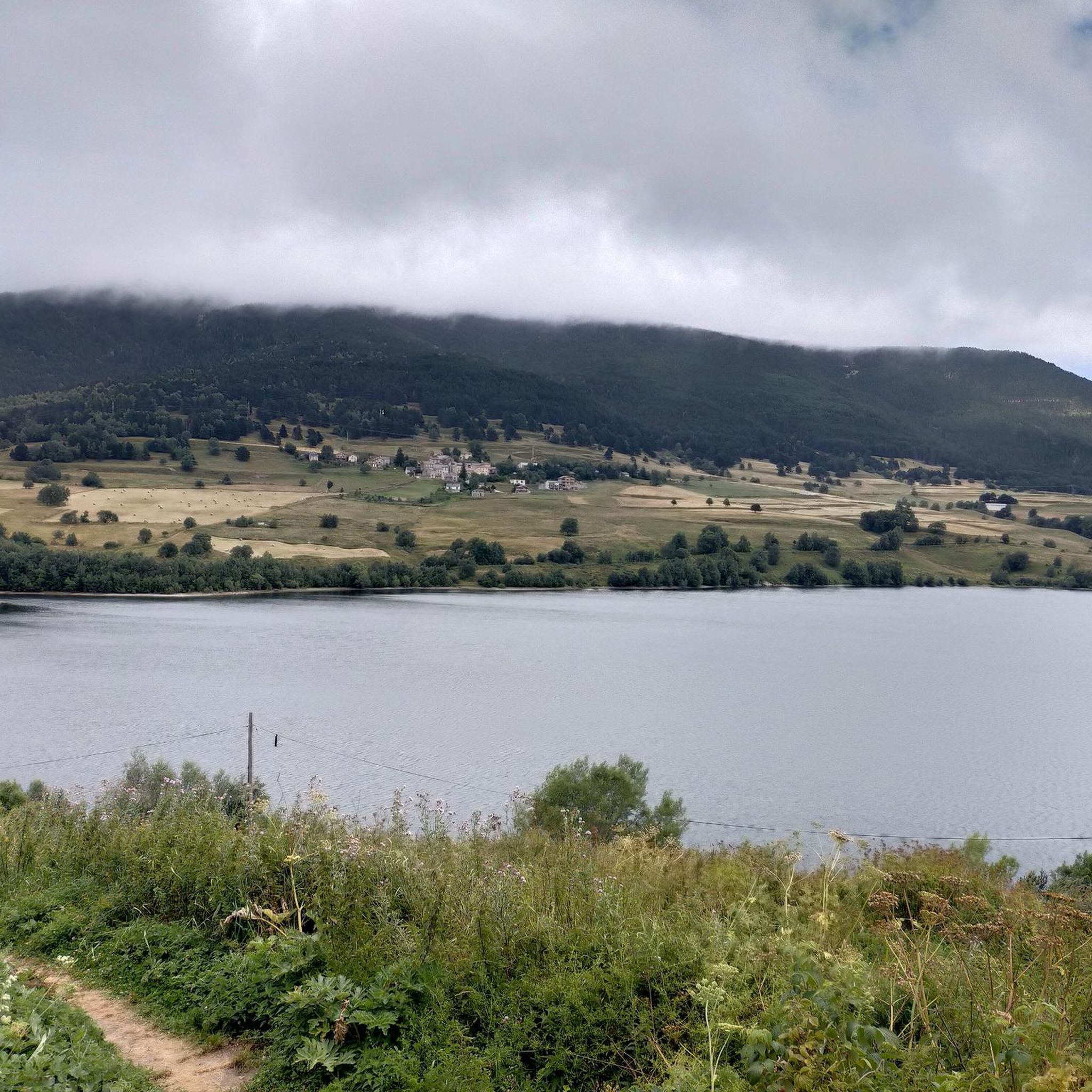
The Puyvalador dam is 160 meters long and 39 meters high. This concrete structure is used to regulate the waters of the Aude river to produce electricity. From the dam, the view is exceptional.
0
0

High mountain town known for the ski resort in its vicinity. It is a town with various services in case water needs to be replenished.
0
0

On one side, very close to the path, you can enjoy this beautiful waterfall created by the Galbe River as it descends towards Esposouille.
1
0
It is said that water from this small artificial lake was used for the ski slope when it was still in operation. In winter, it usually freezes, creating a beautiful scene with the surrounding snow-covered trees. Swimming is not allowed.
1
0
From this point at Puyvalador station, the Rhododendron trail begins, perfect for enjoying a walk through the forest as you gain altitude. Further up, you reach a small artificial lake, and if desired, you can continue along the trails to higher elevations. It's easy to find parking very close to the starting point.
1
0
This 2,382 meter high peak was the highest point of the now closed Puyvalador ski resort. The views from the top of the Laurenti and Roc Blanc area are incredible and there are several ways to go up, varying depending on the slope you want when going up and down. Very close to the top there is a small aid hut where it is possible to take shelter. It is also an ideal peak to climb with snowshoes in winter, when it is all snowy.
1
0
Frequently Asked Questions
How many hiking trails are available around Puyvalador?
Puyvalador offers a wide variety of hiking experiences, with over 220 routes available. These range from easy strolls to more challenging mountain treks, catering to all fitness levels.
What is the best time of year to go hiking in Puyvalador?
The region is excellent for hiking from spring through autumn, when the weather is mild and the landscapes are vibrant. The extensive pine forests provide shade during warmer months. Even in winter, the cold, dry microclimate can maintain quality snow, offering opportunities for snowshoeing or winter walks, though some higher routes may require specific gear.
Are there easy or family-friendly hiking options in Puyvalador?
Yes, Puyvalador has over 60 easy routes perfect for families or beginners. A popular choice is the Puyvalador Dam loop from Puyvalador, which is 6.7 km long and takes about 1 hour 48 minutes. Another pleasant easy option is the Rhododendron Trailhead loop from Station de Puyvalador, a 3.8 km walk through pine forests.
Are there any circular hiking routes in Puyvalador?
Many trails in Puyvalador are designed as loops, offering varied scenery without retracing your steps. Examples include the easy Puyvalador Dam loop from Puyvalador and the moderate Cascade du Galbe loop from Fontrabiouse, which takes you through the beautiful Galbe Valley.
Can I find hikes that feature waterfalls in the Puyvalador area?
Yes, the region offers routes that include waterfalls. The Cascade du Galbe loop from Fontrabiouse is a moderate 11.5 km trail that leads through the scenic Galbe Valley, featuring a beautiful waterfall and varied forest terrain.
Are there hiking trails around lakes in Puyvalador?
The Puyvalador region is known for its picturesque lakes. The Puyvalador Dam loop from Puyvalador offers accessible views of the Lac de Puyvalador. Further afield, the Étang de Quérigut provides a more remote experience, and the larger Lac des Bouillouses is a key natural attraction nearby.
What kind of landscapes can I expect to see while hiking in Puyvalador?
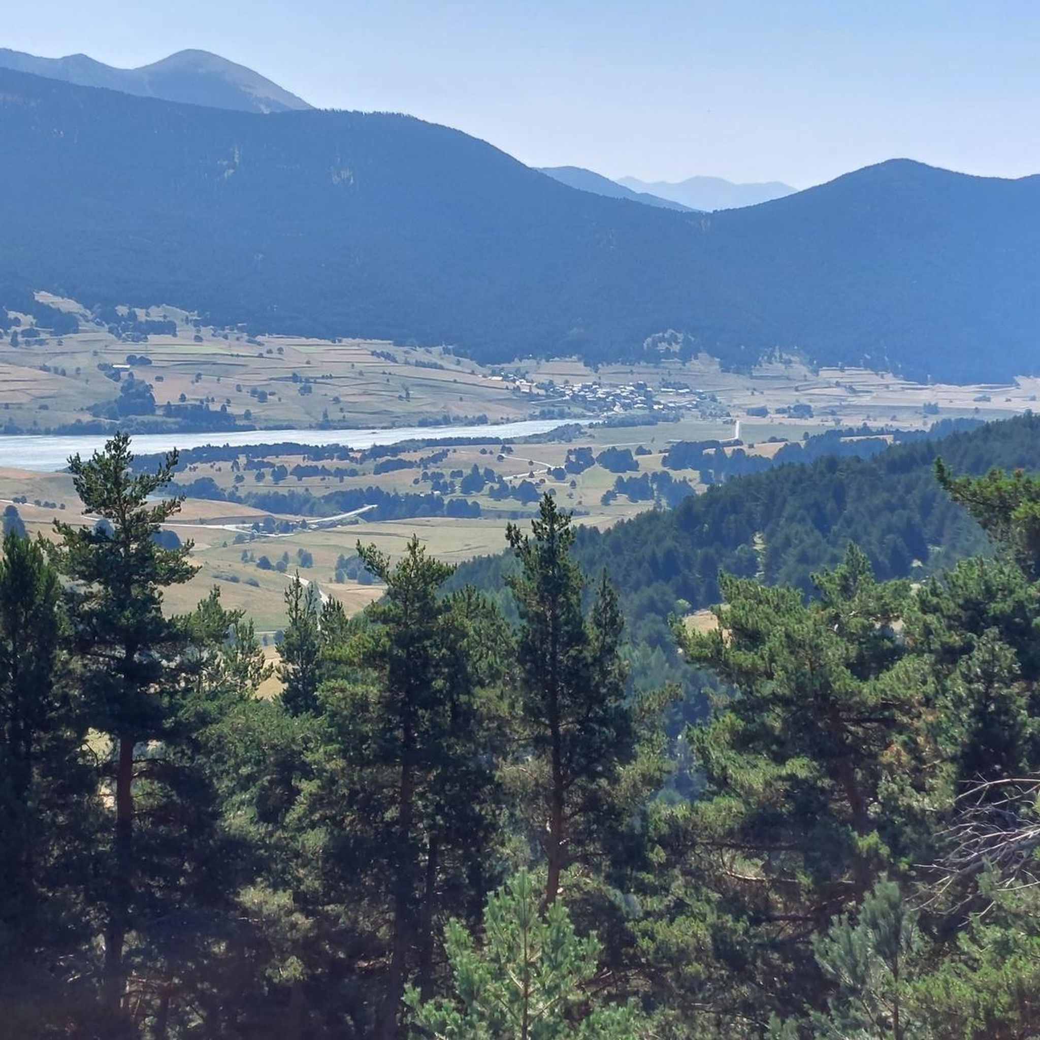
Hikers in Puyvalador will experience diverse landscapes within the Capcir massif. Expect extensive pine forests, numerous picturesque lakes like Lac de Puyvalador and Étang de Quérigut, and the stunning Galbe Valley. Higher routes offer panoramic views of peaks, including distant glimpses of Mount Canigou.
What natural attractions can I explore near Puyvalador's hiking trails?
Beyond the trails themselves, the area boasts several natural highlights. You can explore various mountain peaks such as Pic de Tarbesou or Mortiers Peak. There are also beautiful lakes like Lake Aude and Laurenti Lake. For geological wonders, the Grotte de Fontrabiouse is a significant nearby attraction.
What do other hikers enjoy the most about hiking in Puyvalador?
The komoot community highly rates the hiking in Puyvalador, with an average score of 4.6 stars from over 1,000 reviews. Hikers frequently praise the diverse Capcir massif landscapes, the extensive pine forests, and the numerous lakes, highlighting the variety of options for different ability levels.
Are there any moderate to difficult trails for experienced hikers?
Yes, Puyvalador offers 109 moderate and 52 difficult routes for those seeking a greater challenge. A moderate option is the Rhododendron Trailhead – Ginèvre Peak loop from Station de Puyvalador, which covers 10.7 km with significant elevation gain. More difficult routes often explore higher elevations and rocky terrain, sometimes connecting to broader networks like the GRP® Tour du Capcir.
Are dogs allowed on the hiking trails in Puyvalador?
Many trails in the Puyvalador region are dog-friendly, allowing you to enjoy the natural beauty with your canine companion. However, it's always recommended to keep dogs on a leash, especially in areas with livestock or protected wildlife, and to check specific trail regulations before you go.
Most popular routes around Puyvalador
Most popular attractions around Puyvalador

Get inspired with the komoot mobile app


Explore more
Browse the best Hikes in other regions.
