The best walks and hikes around Bordères
4.3
(187)
1,614
hikers
67
hikes
Hiking trails around Bordères offer access to a landscape characterized by its proximity to the Pyrenees foothills, featuring varied terrain from river valleys to gentle hills. The region includes open fields, agricultural areas, and the banks of the Gave de Pau river. Elevation changes are generally modest, making many routes accessible for different fitness levels.
Best hiking trails around Bordères
- The most popular hiking route is Gravel Path by Lac de Baudreix loop from Nay, a 4.4 miles (7.2…
Last updated: October 7, 2026
4.4
(5)
58
hikers
10.5km
02:41
40m
40m
Moderate hike. Good fitness required. Easily-accessible paths. Suitable for all skill levels.
4.0
(3)
44
hikers
7.11km
01:49
30m
30m
Easy hike. Great for any fitness level. Easily-accessible paths. Suitable for all skill levels.

4.0
(1)
17
hikers
14.0km
03:44
160m
160m
Moderate hike. Good fitness required. Easily-accessible paths. Suitable for all skill levels.
4.5
(2)
12
hikers
11.7km
03:25
320m
320m
Moderate hike. Good fitness required. Easily-accessible paths. Suitable for all skill levels.
13
hikers
7.50km
01:56
40m
40m
Easy hike. Great for any fitness level. Easily-accessible paths. Suitable for all skill levels.
Get access to more routes and recommendations from other explorers.
Already have an account?
Our route recommendations are based on thousands of hikes, rides, and runs completed by other people on komoot.
Start today with a free account
Your next adventure awaits.
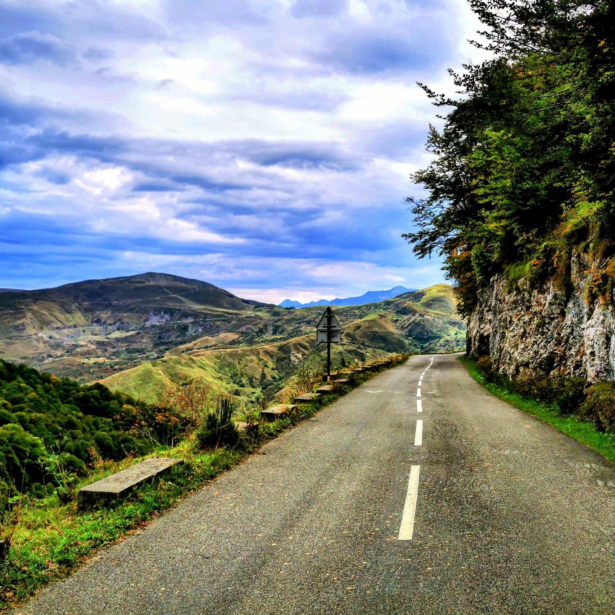
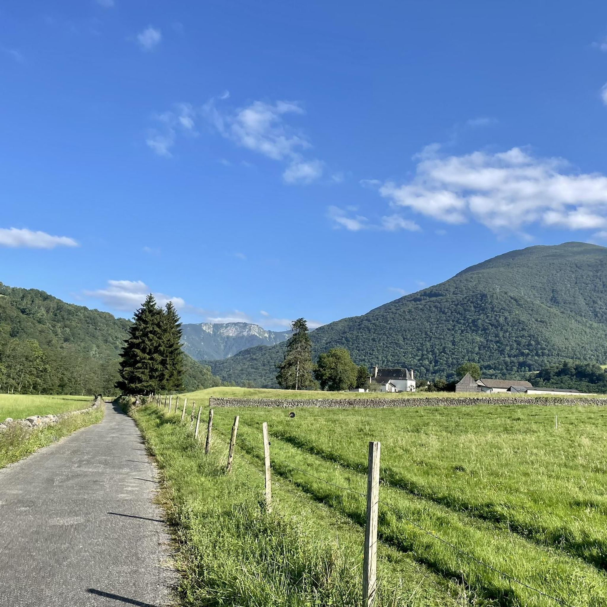
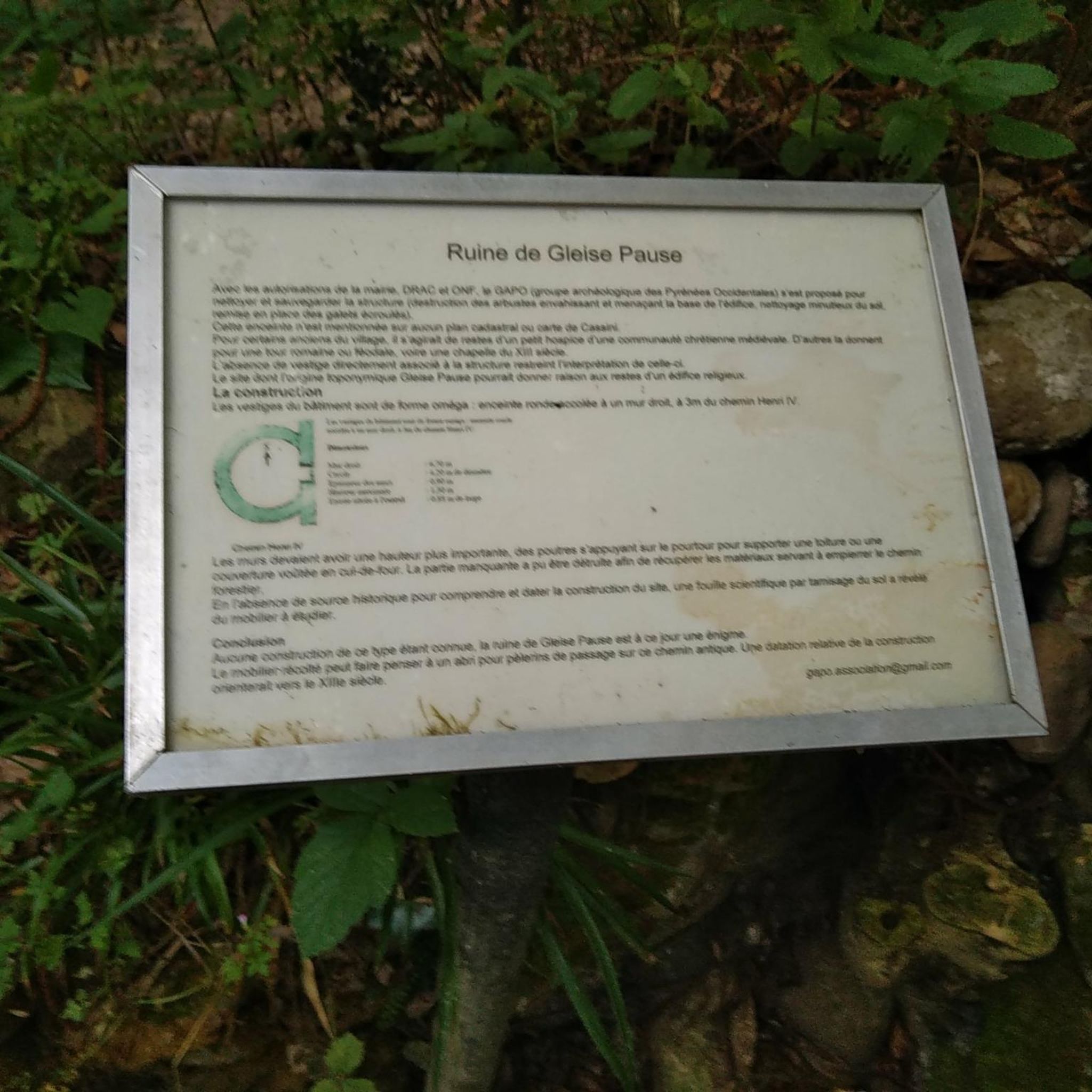

Tips from the Community

The bridge of Nay spans the Gave de Pau and offers a breathtaking view of its bucolic banks as well as the Pyrenean peaks.
0
0


Edge of the wooded and calm Gave
0
1

Beautiful view of the Gave. The fish pass has been redone and a passage for kayaks has been built
0
0

Small gravel section on the shores of Lake Baudreix to join cycle route 81
0
1
Frequently Asked Questions
What kind of hiking trails can I expect around Bordères?
The hiking trails around Bordères are characterized by their varied terrain, ranging from river valleys and open fields to gentle hills and agricultural areas. Many routes follow the banks of the Gave de Pau river. Elevation changes are generally modest, making the area accessible for various fitness levels.
How many hiking routes are available in the Bordères area?
There are over 50 hiking routes available around Bordères. This includes a good mix of difficulties, with 23 easy trails, 29 moderate trails, and 3 more challenging options.
Are there any easy, family-friendly hikes in Bordères?
Yes, Bordères offers many easy routes suitable for families. A popular choice is the Gravel Path by Lac de Baudreix loop from Nay, which is 7.2 km long and takes about 1 hour 50 minutes to complete. Another accessible option is the Gravel Path by Lac de Baudreix loop from Mirepeix, offering pleasant views around the lake.
What do other hikers say about the trails in Bordères?
The trails in Bordères are highly rated by the komoot community, with an average score of 4.4 stars from over 140 reviews. Hikers often praise the varied terrain, the peaceful river paths, and the accessibility of many routes for different abilities.
Are there any circular walks in Bordères?
Yes, many of the trails around Bordères are designed as loops. For example, the Hiking loop from Bénéjacq is a 6.3 km circular route through rural areas and fields. The routes around Lac de Baudreix, such as the Gravel Path by Lac de Baudreix loop from Baudreix, also offer pleasant circular experiences.
What natural features can I expect to see while hiking near Bordères?
While hiking near Bordères, you'll encounter the gentle landscapes of the Pyrenees foothills, including the Gave de Pau river, open fields, and agricultural areas. The region also features picturesque lakes like Lac de Baudreix, providing serene spots and scenic backdrops for your walks.
Are there any interesting landmarks or attractions near the hiking trails?
Yes, there are several interesting landmarks nearby. You could visit the historic Pont d'Assat Suspension Bridge or the Old Betharram bridge. The charming town of Lestelle-Bétharram is also a notable point of interest in the vicinity.
What is the best time of year to go hiking in Bordères?
Given the region's modest elevation changes and proximity to the Pyrenees foothills, hiking around Bordères is enjoyable for much of the year. Spring and autumn offer pleasant temperatures and beautiful scenery, while summer provides longer daylight hours. Winter hiking is also possible on many of the lower-lying trails, though conditions can vary.
Are there any moderate difficulty trails for a bit more challenge?
Yes, for those looking for a moderate challenge, the Developed MTB singletrack loop from Lagos is a good option. It covers 9.2 km with some elevation gain, offering a more engaging experience than the easier lake loops.
Is there parking available at the trailheads in Bordères?
While specific parking details vary by trailhead, many routes in the Bordères area, especially those starting from villages or popular spots like Lac de Baudreix, typically have designated parking areas nearby. It's always advisable to check the route details on komoot for specific parking information before you go.
Can I reach hiking trails in Bordères using public transport?
The region around Bordères is generally more accessible by car, especially for reaching specific trailheads in rural areas. However, some routes starting from larger towns or villages might be reachable via local bus services. We recommend checking local public transport schedules for specific connections to your chosen starting point.
Most popular attractions around Bordères

Get inspired with the komoot mobile app


Explore more
Browse the best Hikes in other regions.
