The best running trails around Sauvagny
4.1
(21)
123
runners
31
runs
Jogging routes around Sauvagny offer a variety of paths through the Allier department of France. The region is characterized by tranquil riverine landscapes along the Aumance, providing pleasant views and rest stops. Expansive wooded areas, such as the Forêt de Troncais and Forêt des Colettes, are within reach, offering extensive trail running opportunities. Gentle elevations and historical landmarks, including the medieval village of Hérisson and its castle ruins, add to the scenic appeal of the routes.
Best jogging routes around…
Last updated: July 1, 2026
3.0
(1)
7
runners
5.23km
00:32
20m
20m
Moderate run. Good fitness required. Mostly paved surfaces. Suitable for all skill levels.
5
runners
8.15km
00:51
40m
40m
Moderate run. Good fitness required. Mostly paved surfaces. Suitable for all skill levels.

Sign up for free
3
runners
12.6km
01:23
70m
70m
Moderate run. Good fitness required. Mostly paved surfaces. Suitable for all skill levels.
5.0
(2)
5
runners
14.1km
01:34
90m
90m
Moderate run. Good fitness required. Mostly paved surfaces. Suitable for all skill levels.
3
runners
3.18km
00:21
20m
20m
Easy run. Great for any fitness level. Mostly paved surfaces. Suitable for all skill levels.
Get access to more routes and recommendations from other explorers.
Sign up for free
Already have an account?
Our route recommendations are based on thousands of hikes, rides, and runs completed by other people on komoot.
Start today with a free account
Your next adventure awaits.
Login or Signup


Frequently Asked Questions
How many running routes are available around Sauvagny?
There are over 30 dedicated running routes in the Sauvagny area, offering a diverse range of experiences for joggers of all levels. These routes traverse the picturesque landscapes of the Allier department.
What kind of terrain can I expect on the jogging trails near Sauvagny?
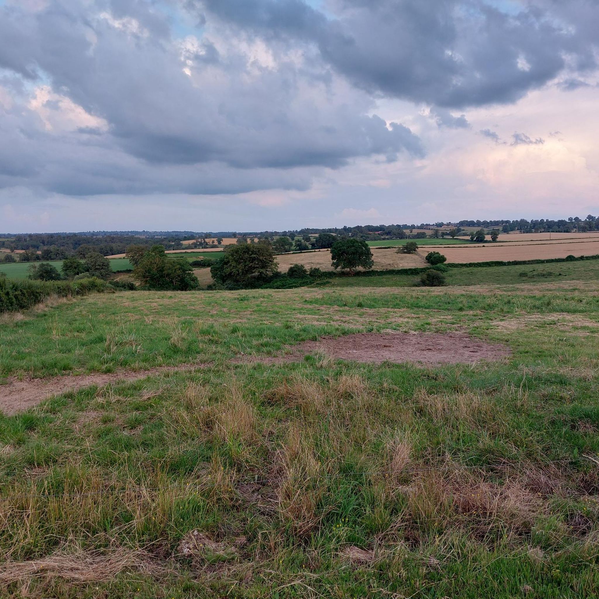
The running trails around Sauvagny feature varied terrain, from tranquil paths along the Aumance River to extensive wooded areas within the Forêt de Troncais and Forêt des Colettes. You'll find gentle elevations and scenic views, making for an engaging run.
Are there any easy running routes suitable for beginners or a relaxed jog?
Yes, Sauvagny offers several easy running options. For instance, the Running loop from Forêt domaniale de Dreuille is an easy 4.5 km (2.8 miles) trail that takes you through pleasant wooded areas, perfect for a leisurely run.
What do other runners enjoy most about the routes in Sauvagny?
The running routes in Sauvagny are highly rated by the komoot community, with an average score of 3.7 stars from over 10 reviews. Runners often praise the tranquil riverine landscapes, the expansive forests, and the historical landmarks that add character to their runs.
Are there any circular running trails in the Sauvagny area?
Many of the running routes around Sauvagny are designed as loops, offering convenient circular paths. For example, the popular Running loop from Cosne-d'Allier is a 5.2 km (3.2 miles) circular trail that provides a moderate experience through the local countryside.
Can I find longer distance running trails in Sauvagny?
Absolutely. If you're looking for a longer run, consider the Running loop from Rond des Tourneaux. This moderate trail spans approximately 10.5 km (6.5 miles), offering a more extended exploration of the region's natural beauty.
What historical landmarks or attractions can I see while running near Sauvagny?
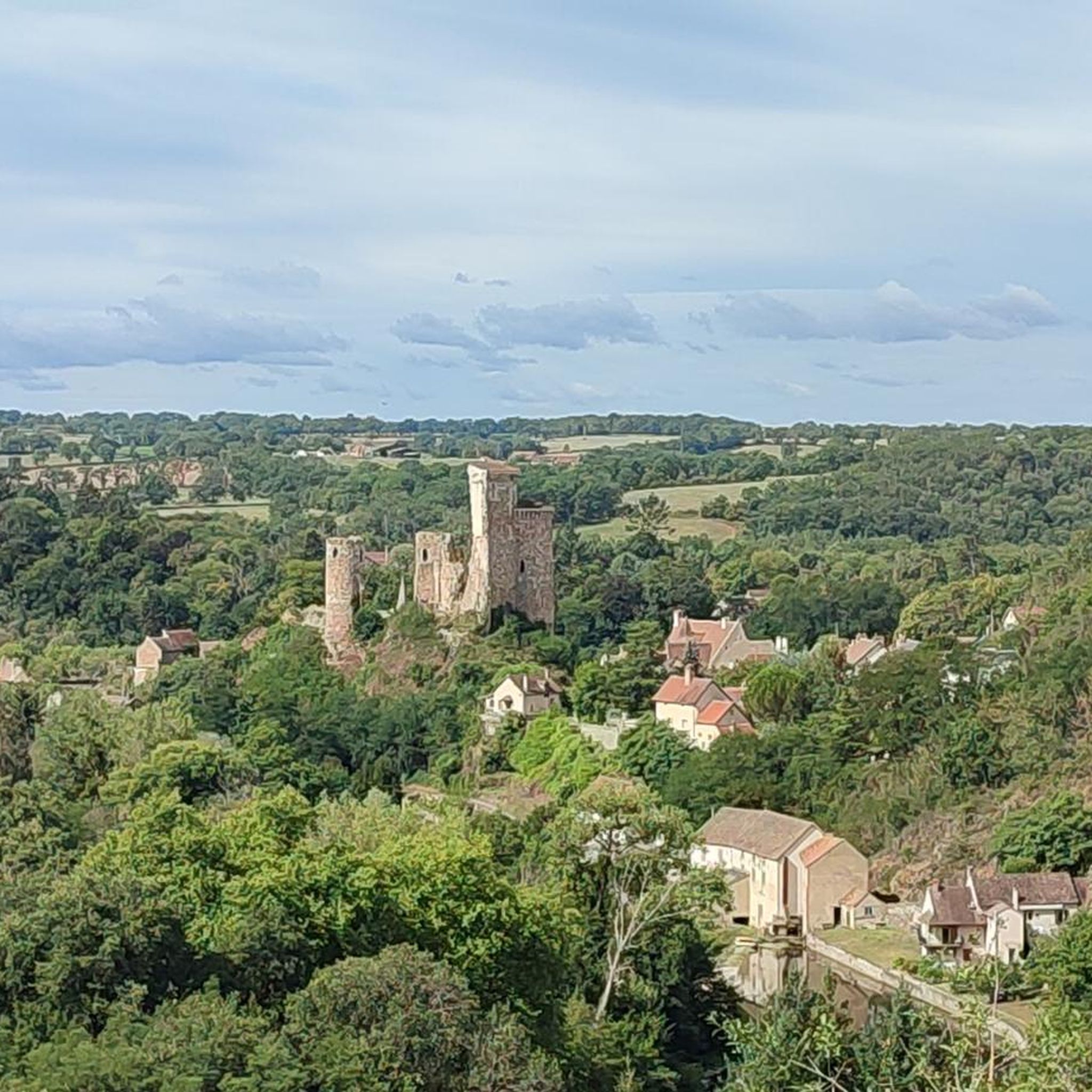
The region is rich in history. You can explore routes that pass by the medieval village of Hérisson and its impressive 11th-century castle ruins. A notable highlight is the Hérisson Castle itself, and you might even find a Viewpoint over Hérisson offering exceptional panoramas.
Are there running routes that feature water crossings or river views?
Yes, the Aumance River is a prominent natural feature in the area. The Bridge and crossing at L'Œil loop from Cosne-d'Allier is a great example, featuring varied terrain and crossings near the river, providing pleasant waterside views during your run.
What is the best time of year to go jogging in Sauvagny?
Sauvagny's charming landscapes are enjoyable throughout much of the year. Spring and autumn offer mild temperatures and beautiful scenery, making them ideal for running. Summer can also be pleasant, especially in the shaded forest areas like the Forêt domaniale de Dreuille.
Are there any routes that go through extensive forests?
Yes, the Sauvagny area is close to significant wooded areas. The Forêt domaniale de Dreuille loop from Forêt domaniale de Dreuille is a fantastic option, leading you through dense forest, perfect for trail running and immersing yourself in nature.
Are the running trails in Sauvagny suitable for families?
Many of the easier and moderate routes in Sauvagny are suitable for families looking for an active outing. The tranquil paths and natural surroundings provide a safe and enjoyable environment for all ages. Consider routes with less elevation for younger family members.
Is there parking available near the running trailheads?
While specific parking details vary by trailhead, many routes in the Sauvagny area, especially those starting from villages like Cosne-d'Allier or near popular forest entrances, typically have designated parking areas or roadside spots available for public use.
Most popular attractions around Sauvagny

Get inspired with the komoot mobile app


Explore more
Browse the best Running Trails & Routes in other regions.
