The best road cycling routes around Fontpédrouse
4.5
(56)
3,365
riders
31
rides
Road cycling routes around Fontpédrouse are situated within the Pyrenees-Orientales department of France, offering a diverse landscape for cyclists. The region is characterized by challenging mountain passes, serene valleys, and quiet mountain roads that traverse forests and pastures. Cyclists can expect routes with significant elevation changes and grand vistas across the Pyrenean mountain range.
Best road cycling routes around Fontpédrouse
- The most popular road cycling route is Col de la Llose from La Llagonne, a 9.3 miles (14.9 km)…
Last updated: July 1, 2026
4.5
(4)
164
riders
32.9km
02:06
960m
960m
This difficult 20.5-mile (32.9 km) racebike route between Juell Pass and Llose Pass climbs 3161 feet (963 meters) in the French Pyrenees.
129
riders
51.2km
03:11
1,390m
1,390m
Hard road ride. Very good fitness required. Mostly well-paved surfaces and easy to ride.

Sign up for free
1
riders
14.9km
01:00
400m
400m
Cycle Towards the peak of la Tosse, a moderate 9.3-mile (14.9 km) road cycling route in the Parc Naturel Régional des Pyrénées Catalanes.
5.0
(5)
775
riders
70.2km
04:20
1,850m
1,850m
Hard road ride. Very good fitness required. Some segments of this route may be unpaved and difficult to ride.
4.7
(3)
540
riders
95.6km
04:52
1,560m
1,560m
Hard road ride. Very good fitness required. Some segments of this route may be unpaved and difficult to ride.
Get access to more routes and recommendations from other explorers.
Sign up for free
Already have an account?
Our route recommendations are based on thousands of hikes, rides, and runs completed by other people on komoot.
Start today with a free account
Your next adventure awaits.
Login or Signup
Popular around Fontpédrouse

The Crossing of the Pyrenees via the GR 10 — Eastern Pyrenees

On wild ridges: Catalonia to Ariège – Hexatrek, Eastern Pyrenees
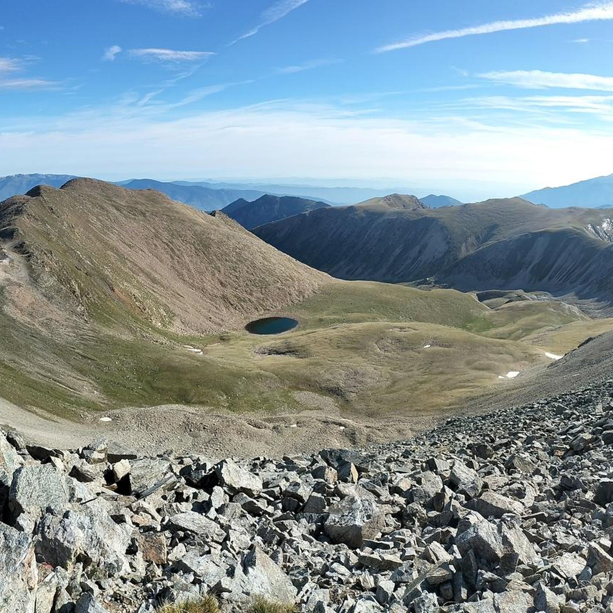
Running Trails around Fontpédrouse
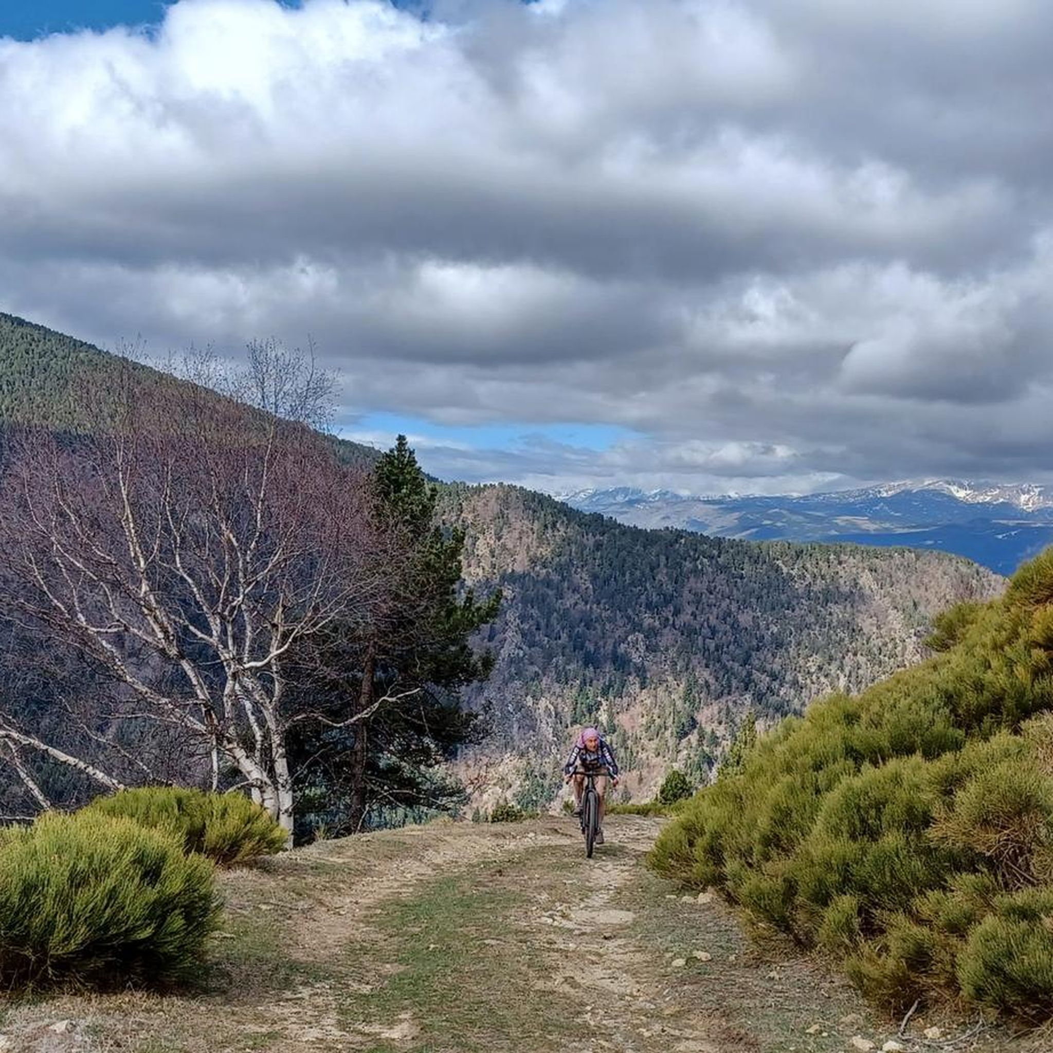
Cycling around Fontpédrouse
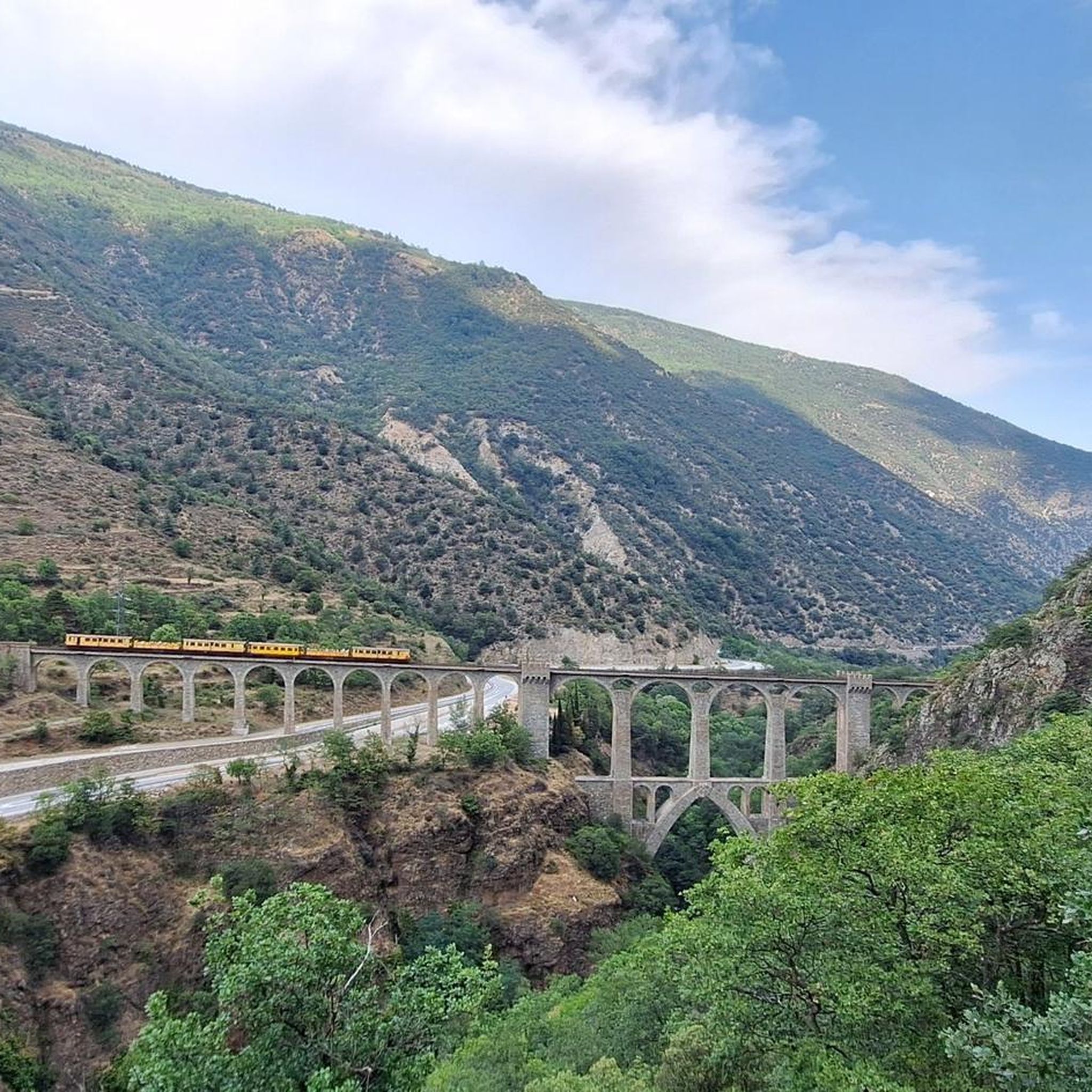
Hiking around Fontpédrouse
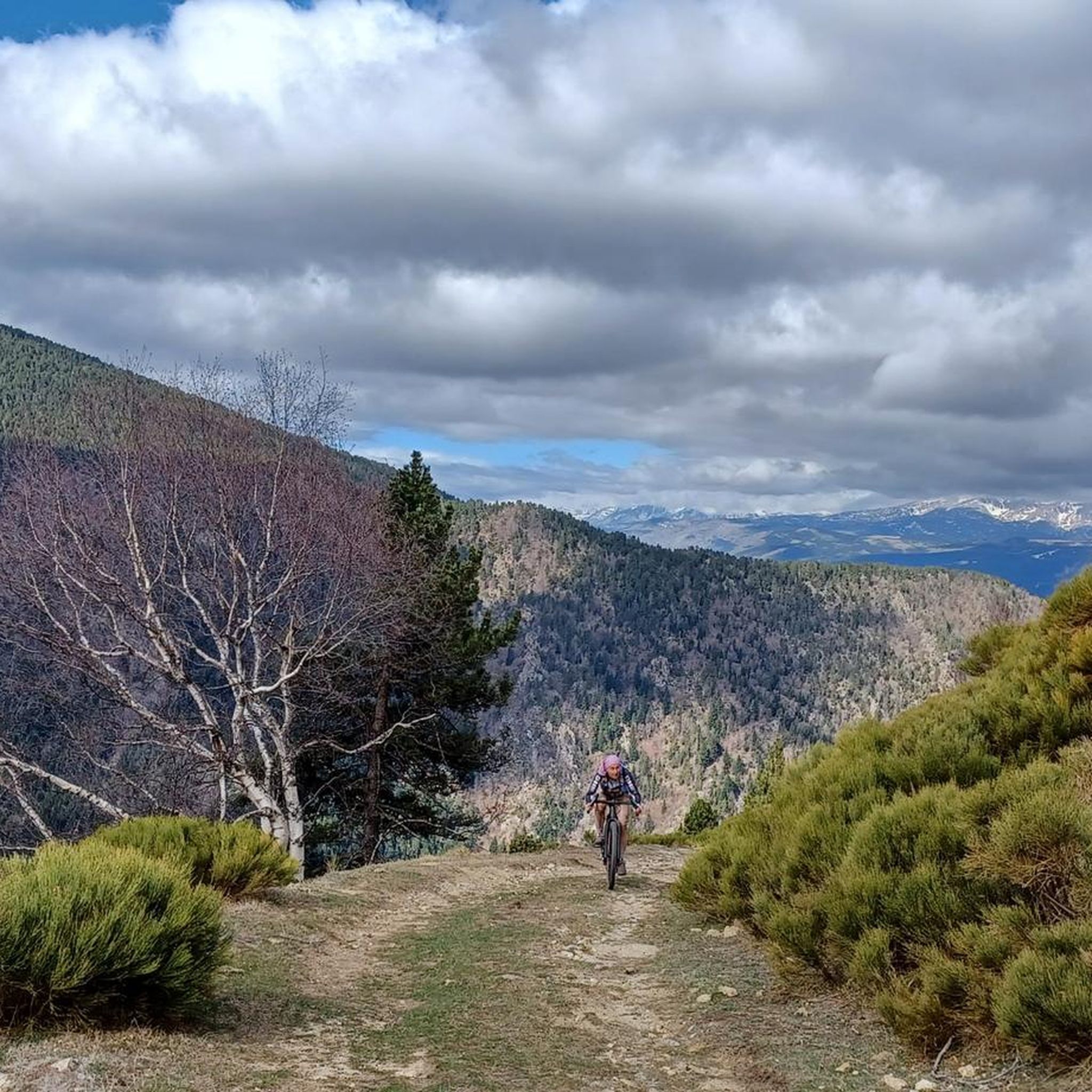
MTB Trails around Fontpédrouse
Gravel biking around Fontpédrouse

Mountain Hikes around Fontpédrouse

Tips from the Community

Quite a bit of traffic, but a pretty port, especially the final section.
0
0

It's an ideal spot for a picnic. It's also an ideal place for groups of cyclists supported by vans, as there's plenty of space here to relax and not disturb anyone. The lake is at an elevated point, so accessing it from La Llagonne or Les Angles requires a steep climb, always at a lower gradient.
0
0


Fountain in the charming little village of Ayguatebia to refill your water before the final of the Col de la Llose or the Col de Jouël.
0
0
It is a town to breathe the tranquility of the mountains in all its expression. It is located halfway between the climb to the Col de la Llosa and the Coll de Jouell, therefore, it is a common stopover for cyclists who cover the Route du Cols. Like any good town, it has a beautiful fountain where we can recharge water for the challenges we are going to face.
0
0
Although it is a climb that goes through a dense black pine forest, there are some moments where there are gaps that allow you to see the valley and the towns of Formigueres and Puyvalador.
0
0
It is a small elevation that allows you to connect Railleu and Caudiès-de-Conflent with Aiguatèbia in the most direct way possible. The road is very narrow although it has been recently paved and the asphalt is simply perfect. On the Aiguatèbia slope it is approximately 3 km very hard, although with wonderful views of the valley. You can not lose this!
1
0
I totally agree with the title. It is a wonderful high mountain road, with views at the beginning, between forests and pastures later, always quiet, with hardly any type of noise, without cars or motorcycles at high speeds. It is a cycling paradise. Another fact to keep in mind is that this road allows you to trace several different routes, always between Coll de Creu and Coll de la Llosa.
0
0
Frequently Asked Questions
How many road cycling routes are available around Fontpédrouse?
There are nearly 30 road cycling routes around Fontpédrouse, offering a diverse range of options. These include 13 moderate routes and 15 difficult routes, catering to various fitness levels and preferences.
What kind of terrain can I expect on road cycling routes in Fontpédrouse?
Road cycling routes in Fontpédrouse feature a diverse landscape, including challenging mountain passes, serene valleys, and quiet mountain roads. You'll often traverse forests and pastures, with many routes offering splendid views of mountain summits and grand vistas across the Pyrenean range.
Are there any long-distance cycling options near Fontpédrouse?
Yes, for those interested in longer rides, the Vélosud is a 650km route along the Pyrenees that offers a more relaxed alternative with moderate slopes and beautiful stretches of greenway. While not directly starting in Fontpédrouse, it's accessible within the broader region.
What are some notable mountain passes for road cyclists in the Fontpédrouse area?
The region is renowned for its challenging mountain passes. Notable climbs include the peak of La Tosse, Col de la Perche (1,579 m), and Col de la Quillane. The Port de Pailhères is also known for its challenging slopes and panoramic views.
What do other road cyclists enjoy most about cycling in Fontpédrouse?
The area is highly rated by the komoot community, with an average score of 4.5 stars from over 54 reviews. Cyclists frequently praise the challenging mountain passes, the serene valleys, and the quiet mountain roads that offer grand vistas across the Pyrenean range.
Are there any circular road cycling routes around Fontpédrouse?
Yes, there are several circular routes. For example, the Mijanès – Col de la Perche (1,579 m) loop from Mont-Louis - La Cabanasse is a difficult 95.6 km loop, and the Col de la Perche (1,579 m) – Llo Pass loop from Bolquère-Eyne offers a moderate 35.2 km option.
What natural attractions can I explore near the cycling routes?
Beyond cycling, the region offers stunning natural attractions. The dramatic Carança Gorges are a highlight, known for their 'Corniche de Carança' with dizzying passages and footbridges. You can also find features like the Roc de la Foradada.
Are there any places to stop for refreshments or shelter along the routes?
Yes, some routes pass by or near huts and refuges. For instance, the Col de la Llose is a notable mountain pass, and you can find refuges like the Coma de Vaca Refuge and Ras de la Carança Refuge in the wider area.
When is the best time of year for road cycling in Fontpédrouse?
The region is generally excellent for road cycling, but traffic on mountain roads is especially light outside of peak seasons like August. Spring and autumn often offer pleasant temperatures and stunning scenery, making them ideal times to explore.
Are there any specific routes recommended for experienced road cyclists looking for a challenge?
Experienced cyclists will appreciate routes with significant elevation. The Col de la Perche (1,579 m) – Beautiful mountain road loop from Bolquère-Eyne is a difficult 64.3 km route with substantial climbing, offering a true test of endurance and rewarding views.
Can I find routes that offer a mix of climbing and scenic views?
Absolutely. Many routes in Fontpédrouse combine challenging ascents with breathtaking panoramas. For example, the New Bridge of Camprodon – Pastelería Pujol loop from Vallter 2000 is a difficult 43.1 km trail that leads through serene valleys and offers impressive mountain vistas.
Most popular routes around Fontpédrouse
Most popular attractions around Fontpédrouse

Get inspired with the komoot mobile app


Explore more
Browse the best Road cycling routes in other regions.
