The best road cycling routes around Laveissenet
4.8
(65)
2,301
riders
169
rides
Road cycling around Laveissenet offers routes through the unique volcanic landscapes of the Parc Naturel Régional des Volcans d'Auvergne. The region is characterized by expansive "Planèzes," which are ancient lava flow plateaus, providing open vistas and varied terrain. Cyclists can expect climbs to reach villages and passes, with views of the distant Monts du Cantal. This area features a diverse environment of mountains, passes, and hills, shaped by its geological history.
Best road cycling routes around Laveissenet
- The most popular…
Last updated: July 1, 2026
4.9
(8)
357
riders
83.6km
05:10
2,150m
2,150m
Hard road ride. Very good fitness required. Mostly well-paved surfaces and easy to ride.
5.0
(4)
124
riders
68.0km
03:40
1,350m
1,350m
Hard road ride. Very good fitness required. Some segments of this route may be unpaved and difficult to ride.

Sign up for free
5.0
(6)
88
riders
42.8km
02:13
770m
770m
Moderate road ride. Good fitness required. Mostly well-paved surfaces and easy to ride.
27
riders
57.7km
02:41
700m
700m
Moderate road ride. Good fitness required. Some segments of this route may be unpaved and difficult to ride.
27
riders
52.0km
02:26
620m
620m
Moderate road ride. Good fitness required. Mostly well-paved surfaces and easy to ride.
Get access to more routes and recommendations from other explorers.
Sign up for free
Already have an account?
Our route recommendations are based on thousands of hikes, rides, and runs completed by other people on komoot.
Start today with a free account
Your next adventure awaits.
Login or Signup
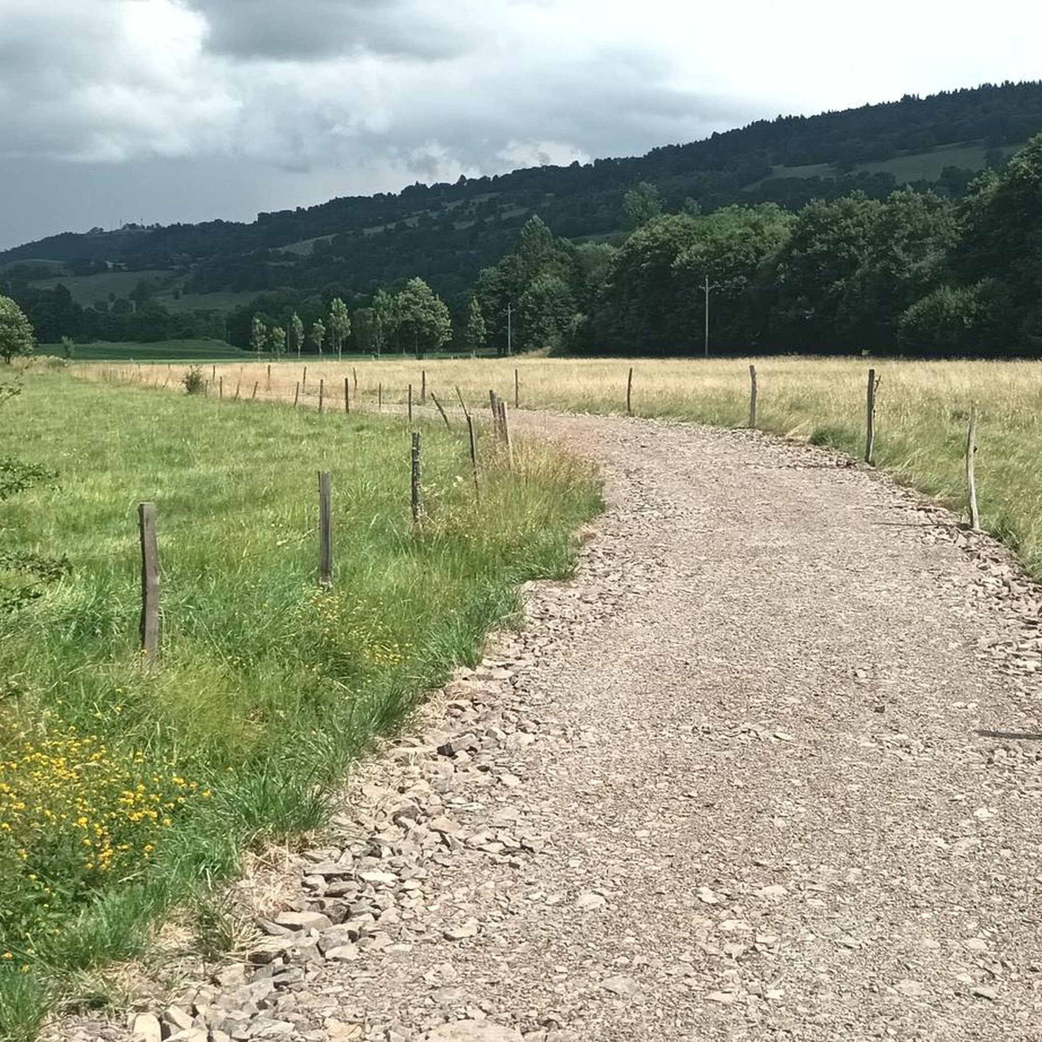
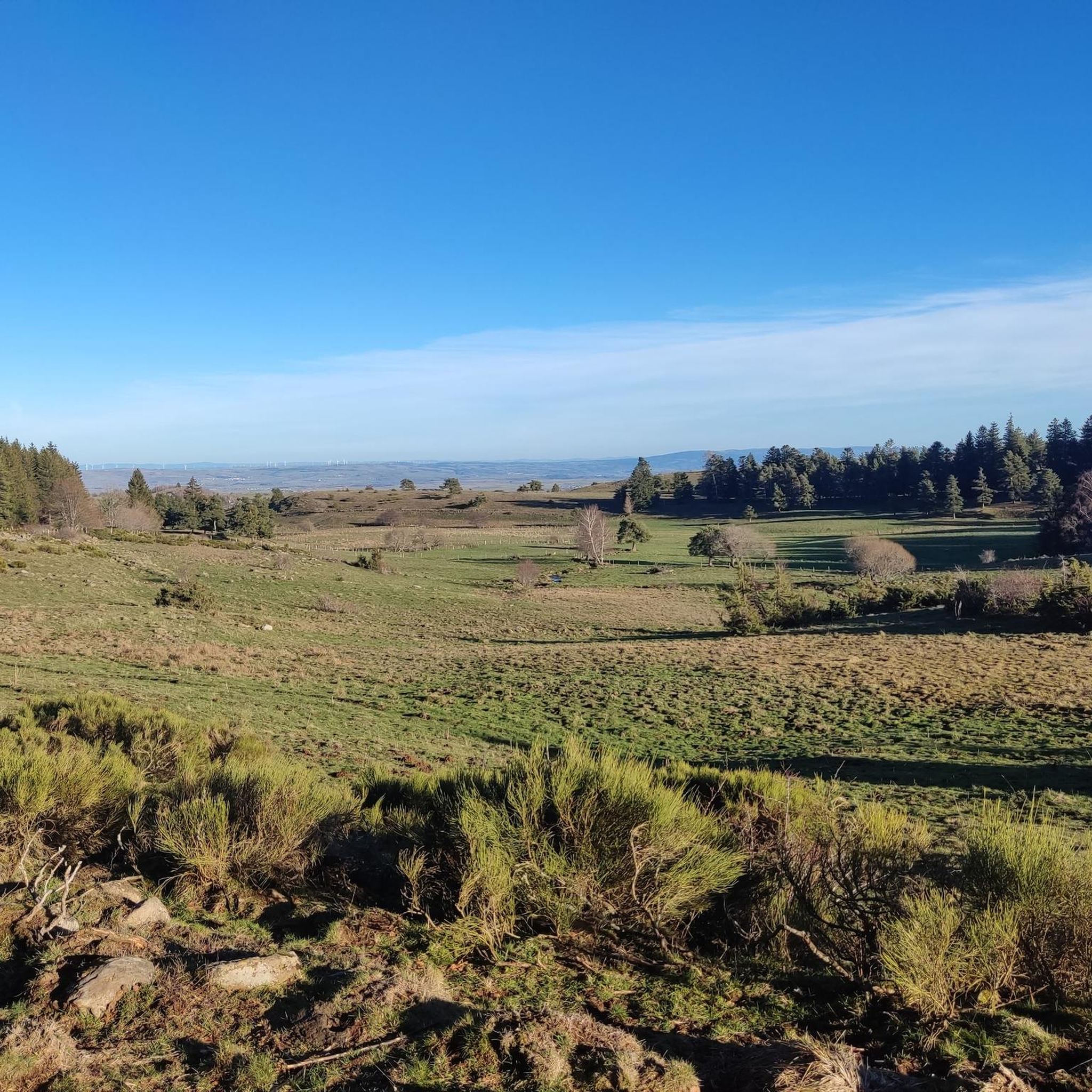
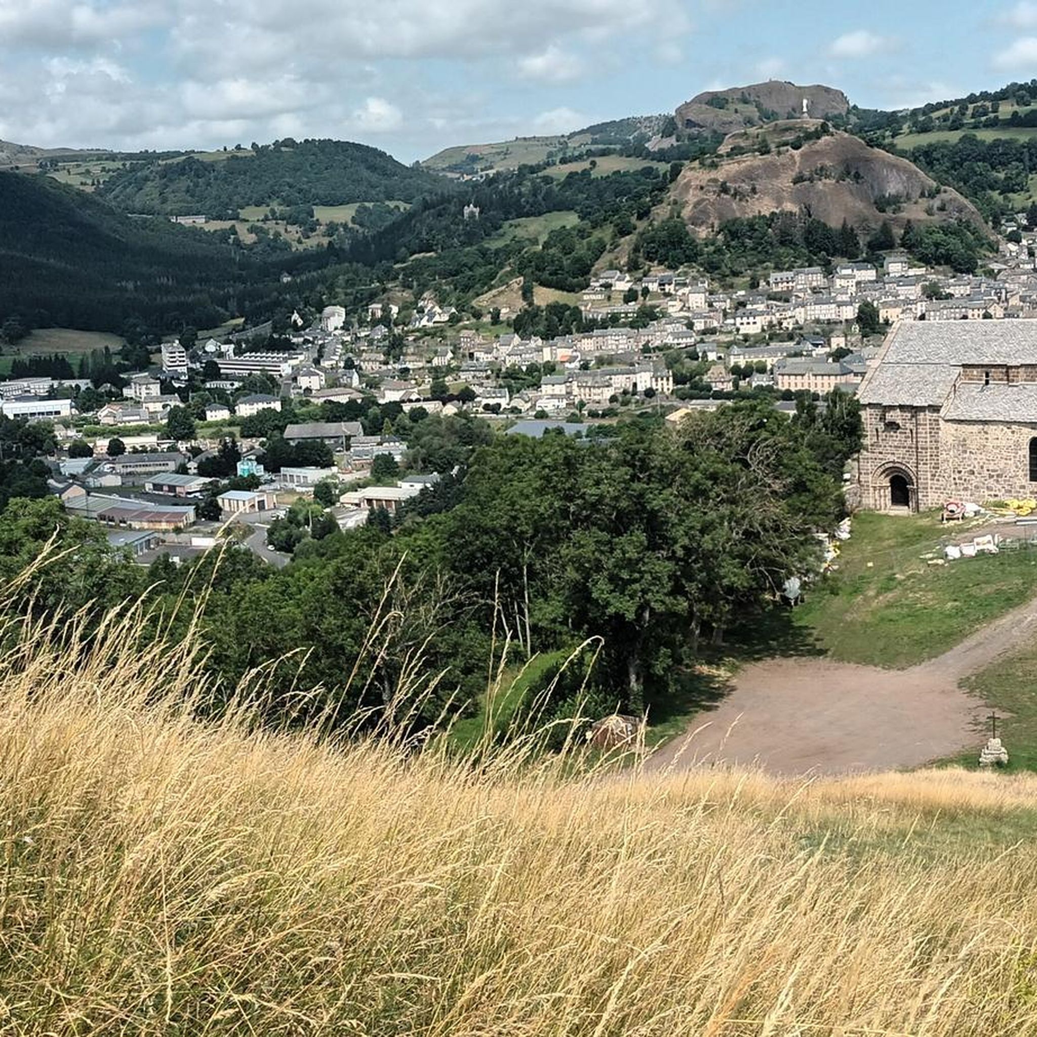
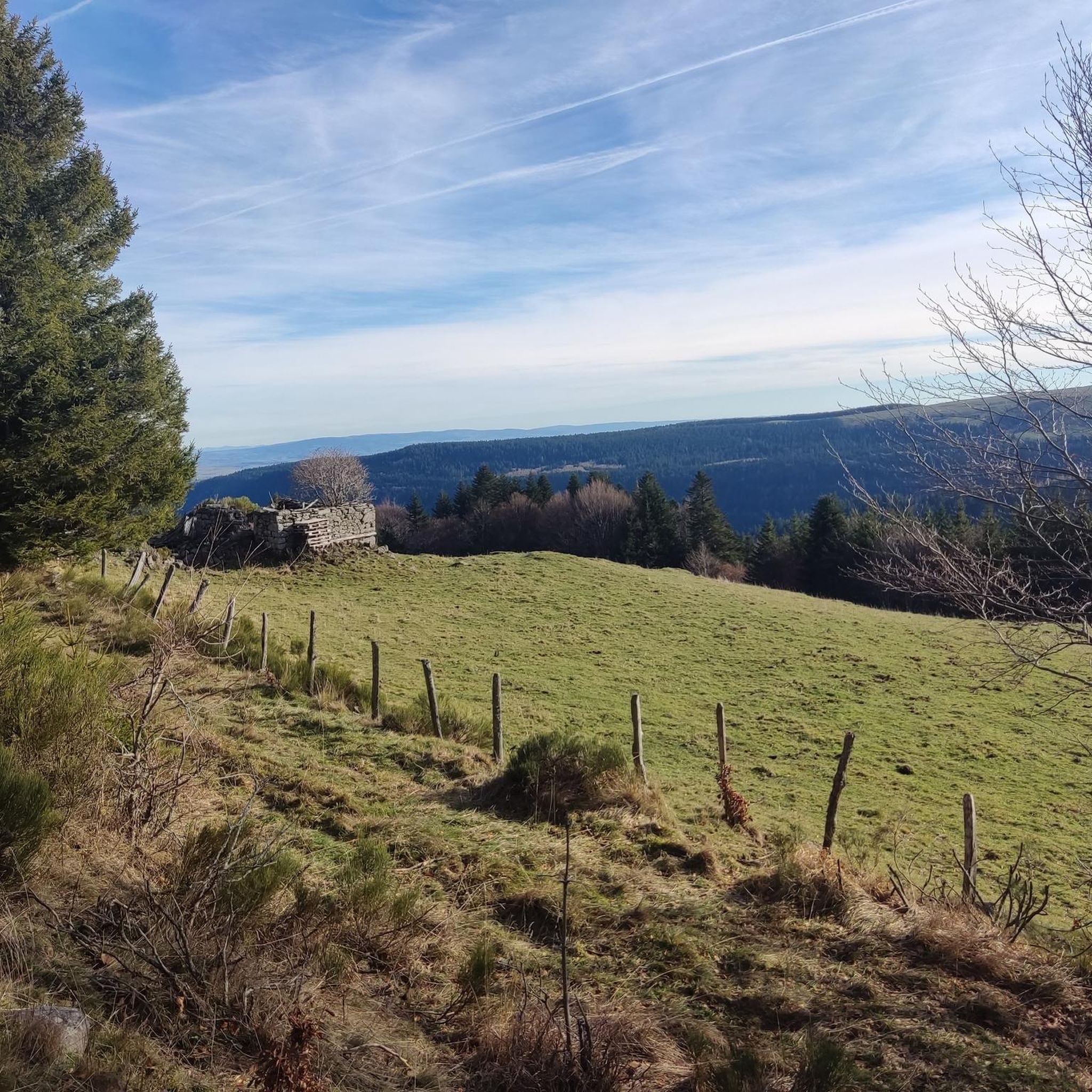
Tips from the Community

A beautiful, partly shady climb from Claux to the pass. Then the real challenge begins at Puy Mary.
0
0
Small village before the climb to Puy Mary. A bit deserted on Whit Monday.
3
0

The route takes you through incredibly beautiful scenery as you head up the valley.
1
0

By bike you can see this castle from different angles. It is worth the detour.
2
0
By bike you can see this castle from different angles. It is worth the detour.
1
0
This pass is rather easy if we compare it with what awaits us, the Puy Mary
1
0
A pretty medieval city to cross by bike
0
0
Frequently Asked Questions
How many road cycling routes are available around Laveissenet?
There are over 150 road cycling routes available around Laveissenet, offering a wide range of options for different preferences and fitness levels. These include 14 easy routes, 82 moderate routes, and 62 difficult routes.
What kind of terrain can I expect when road cycling around Laveissenet?
The terrain around Laveissenet is defined by its unique volcanic landscapes, featuring expansive 'Planèzes' – ancient lava flow plateaus. You can expect varied terrain with climbs to reach villages and mountain passes, rewarding you with stunning views of the distant Monts du Cantal. The geological history has created a diverse environment of mountains, passes, and hills.
Are there challenging climbs for experienced road cyclists in the Laveissenet area?
Yes, Laveissenet offers demanding routes with significant climbs. For instance, the Serre Pass – Pas de Peyrol and Puy Mary loop from Murat is a difficult 67.6 km trail with over 1,350 meters of elevation gain. The area also provides access to the challenging Col de Prat-de-Bouc mountain pass.
Are there easier road cycling options around Laveissenet for less experienced riders?
Absolutely. While the region is known for its climbs, there are 14 easy routes and 82 moderate routes available. For example, the View of Albepierre – Col de Prat de Bouc loop from Murat is a moderate 43.0 km path that offers beautiful views without extreme difficulty.
What natural features or landmarks can I see while road cycling in Laveissenet?
The region is rich in natural beauty. You can enjoy panoramic views of the Monts du Cantal and the vast 'Planèzes'. Notable natural attractions include the Plomb du Cantal and the Téton de Vénus, both offering magnificent views. The area also features various mountain passes like the Col de Prat-de-Bouc and the Cabre Pass.
Are there any charming villages or historical sites to explore near the cycling routes?
Yes, beyond the natural environment, the area offers glimpses into traditional rural life. The village of Laveissenet itself has authentic charm with stone farmhouses. Nearby, the medieval town of Murat provides amenities, shops, and restaurants. You can also visit the magnificent Château du Sailhant, a fortified castle overlooking a waterfall and lake.
What do other road cyclists enjoy most about the routes in Laveissenet?
The road cycling routes in Laveissenet are highly rated by the komoot community, with an average score of 4.8 stars from over 40 reviews. Cyclists often praise the stunning volcanic landscapes, the challenging yet rewarding climbs, and the diverse network of routes that cater to various ability levels.
Is public transport available to reach Laveissenet or access cycling routes?
While Laveissenet is a small village, the nearby town of Murat serves as a more accessible hub. For detailed information on public transport options to and from Murat, it's advisable to check local transport schedules as services can be limited in rural areas.
Where can I find parking when starting a road cycling route in Laveissenet?
Parking is generally available in the village of Laveissenet itself, particularly near the village center. For routes starting from nearby towns like Murat, designated parking areas are usually available. It's always a good idea to check local signage upon arrival.
Are there places to eat or stay in Laveissenet or nearby after a ride?
Laveissenet offers a glimpse into traditional rural life, but for a wider selection of amenities, the nearby medieval town of Murat is a good option. Murat has shops, restaurants, and accommodation options. You can find more information about Laveissenet's charm and nearby services on the Hautes Terres Tourisme website.
What is the best time of year to go road cycling in Laveissenet?
The best time for road cycling in Laveissenet is typically from late spring to early autumn (May to October). During these months, the weather is generally milder and more stable, making for pleasant riding conditions. The landscapes transform with the seasons, offering beautiful scenery.
Are there any circular road cycling routes available around Laveissenet?
Yes, many of the road cycling routes around Laveissenet are designed as loops, allowing you to start and finish in the same location. Examples include the Col de Prat de Bouc – View of Albepierre loop from Murat and the Ché water – Paulhac loop from Le Ché.
Can I bring my dog on road cycling routes in Laveissenet?
While the region is very dog-friendly for hiking, road cycling routes are generally not suitable for dogs, especially on paved roads with traffic. If you wish to explore with your dog, consider the numerous hiking trails in the Parc Naturel Régional des Volcans d'Auvergne, where dogs are often welcome on leash.
Most popular routes around Laveissenet
Most popular attractions around Laveissenet

Get inspired with the komoot mobile app


Explore more
Browse the best Road cycling routes in other regions.
