The 7 Most Amazing Peaks around Clara-Villerach
Best mountain peaks around Clara-Villerach are situated in the Pyrénées-Orientales department of southern France, within the Conflent natural region. The commune itself is rural, with terrain ranging from 380 meters to 1880 meters in elevation. The most prominent peak in the vicinity is the Canigou, a significant summit within the Catalan Pyrenees regional natural park. This area offers diverse landscapes for exploration.
Best mountain peaks around Clara-Villerach
- The most popular mountain peaks is Canigou, a summit that culminates at…
Last updated: June 24, 2026
Canigou
Highlight • Summit
Translated by Google •
Tip by

Pic de la Pena
Highlight • Summit
Tour to the highlight: komoot.de/tour/340851629?ref=itd
Translated by Google •
Tip by

Sign up now to discover places like this
Get recommendations on the best single tracks, peaks, & plenty of other exciting outdoor places.
Sign up for free
Joffre Peak
Highlight • Summit
Translated by Google •
Tip by

Shepherd's Hut of the Little Cortalets
Highlight • Mountain Hut
Translated by Google •
Tip by

Marbet Peak
Highlight • Summit
Translated by Google •
Tip by

Sign up for free to discover even more peaks around Clara-Villerach.
Sign up for free
Already have an account?
Start today with a free account
Your next adventure awaits.
Login or Signup
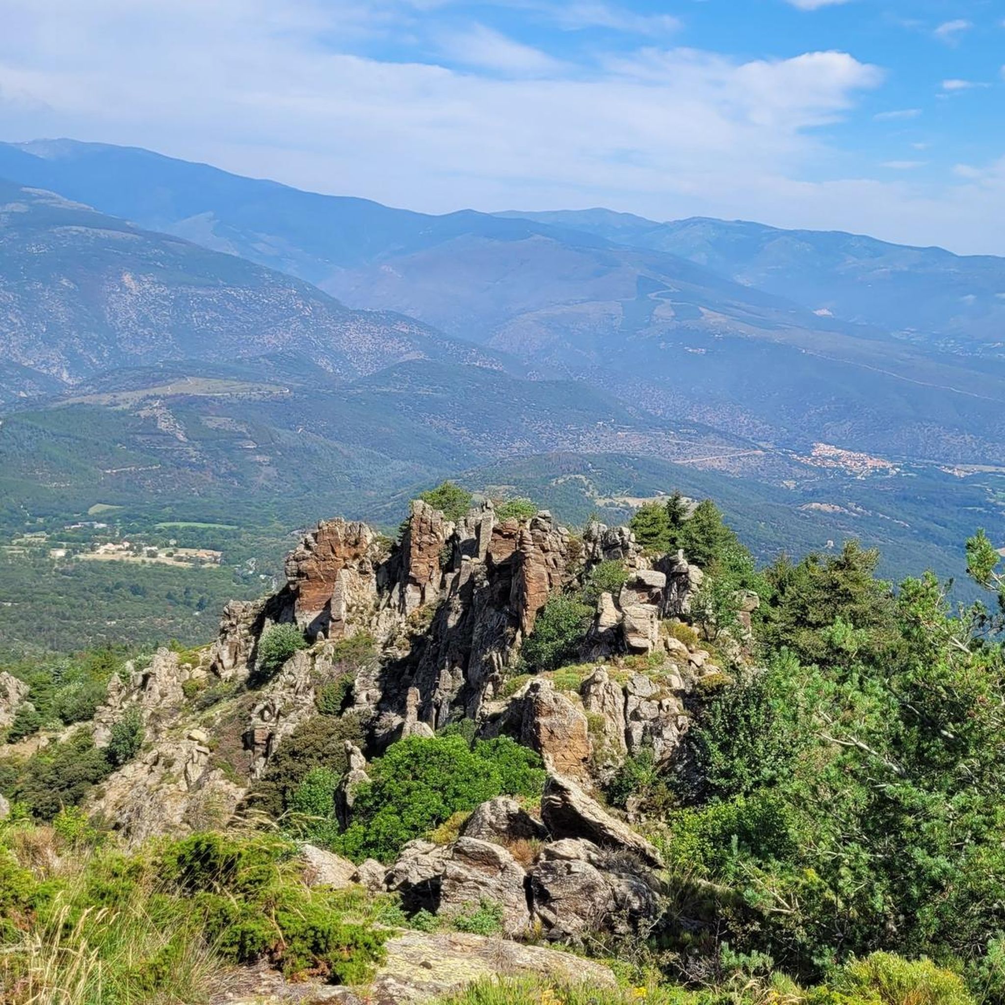

Tips from the Community

Keep your eyes open, we saw marmots above the refuge!
0
0

Generally shaded, this loop can be done in hot weather.
0
0

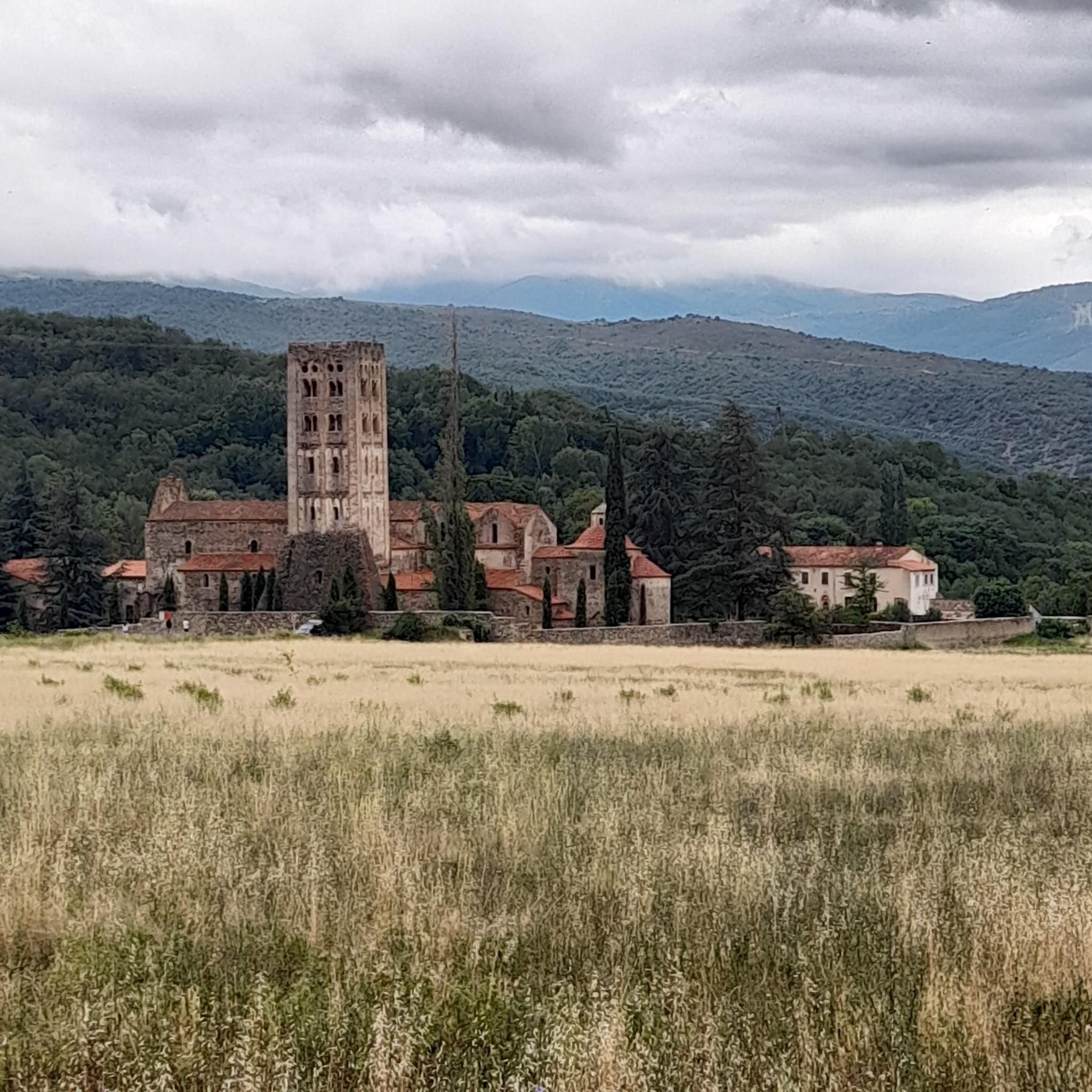
The classic and arguably most-visited peak of the Eastern Pyrenees. Due to its location, this mountain can be seen far into France. The gravel road to the Ras dels Cortalets parking lot requires good shock absorbers (please correct me if it's no longer allowed to drive there). From there, it's only 600 meters of elevation gain via Pic Joffre to the summit. The second ascent from the south is somewhat more challenging, so a traverse is also possible.
2
3

Magnificent summit, one of the emblems of Catalonia, the ascent and descent made by the famous chimney more impressive than difficult
0
0

The Marbet peak culminates at 726 meters above sea level. It offers beautiful panoramas of the Baronnies, the Puig de les Feixes and the villages of the Têt valley.
0
0

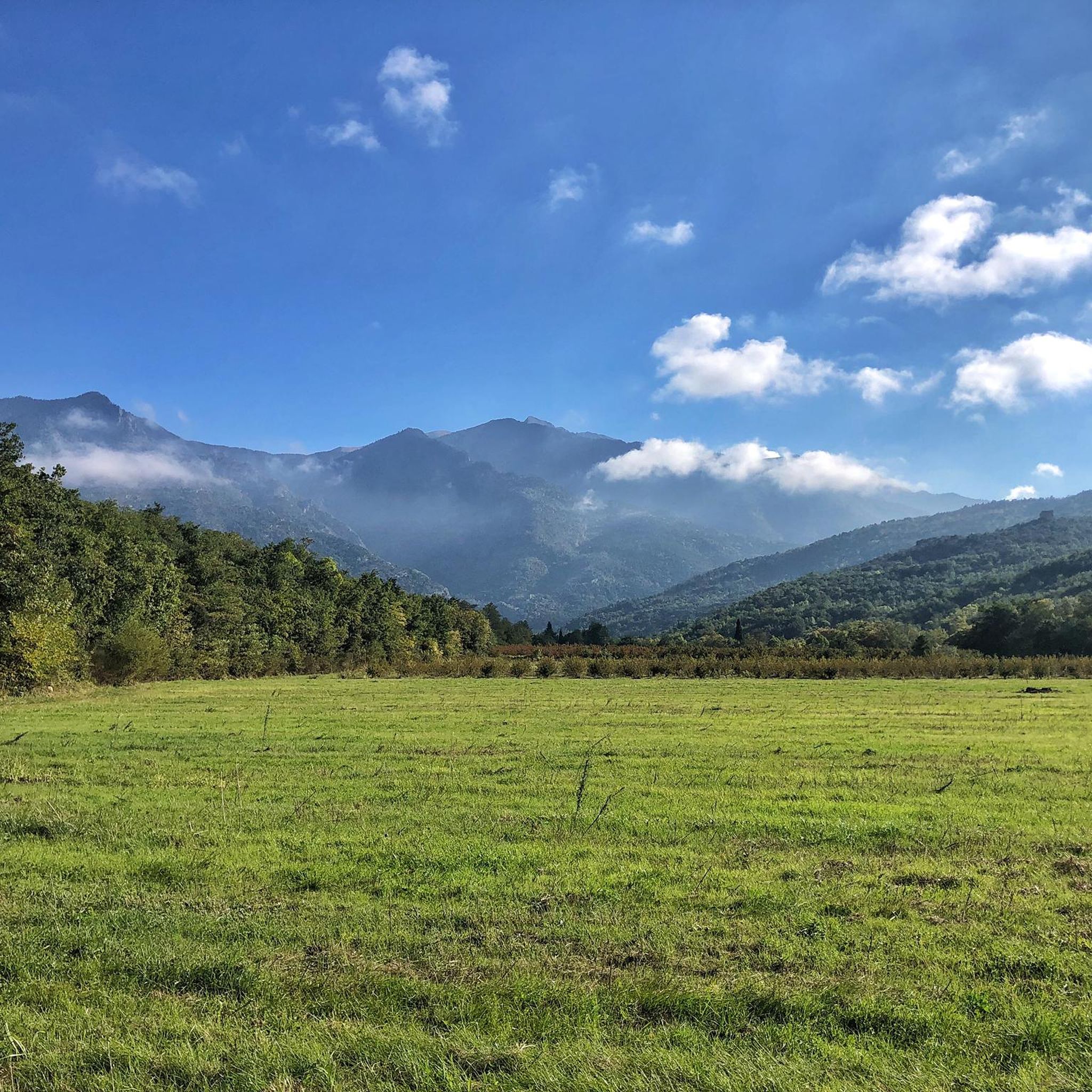
Pic Joffre culminates at an altitude of 2,632 meters in the Canigou massif. It is located between the Cortalets refuge and the Canigou peak.
0
0

The Canigou peak is a peak in the Pyrénées-Orientales in the south of France. Culminating at 2,784 meters above sea level, it is located in the Catalan Pyrenees regional natural park, approximately 50 kilometers from the city of Perpignan. Canigou Peak is considered a symbol of Catalonia, with a legend that the mountain is the throne of the King of Catalonia. It is also considered a sacred place for Catalans, with a local tradition of going up the mountain to watch the sunrise on the summer solstice. The mountain is a popular hiking spot, with several hiking trails leading to the summit. Hikers can also spend the night in mountain huts located along the trails. In winter, Canigou is also a place for cross-country skiing and snowshoeing. The summit of Canigou offers a panoramic view of the Pyrenees and the Mediterranean, as well as the city of Perpignan and the Roussillon plain. The region is also rich in flora and fauna, with species such as chamois, mouflon and golden eagle. Canigou Peak is an important place of pilgrimage for Catalans, as well as a place to hike and explore for visitors to the region.
5
3

Frequently Asked Questions
What are some notable mountain peaks near Clara-Villerach besides Canigou?
Beyond the iconic Canigou, you can explore other significant peaks. Pic de la Pena, at 1,062 meters, offers a magnificent panorama. Joffre Peak, culminating at 2,632 meters, is a striking landmark on the classic route to Canigou. For a less strenuous option, Marbet Peak (726 meters) provides beautiful views of the Baronnies and the Têt valley.
What kind of views can I expect from the mountain peaks in the Clara-Villerach area?
From the summit of Canigou, you are treated to panoramic views that stretch across the Pyrenees, the Mediterranean Sea, the city of Perpignan, and the Roussillon plain. Other peaks like Pic de la Pena and Marbet Peak also offer extensive vistas of the surrounding natural landscapes and valleys.
Are there mountain huts or refuges available for overnight stays near the peaks?
Yes, particularly around the Canigou massif. The Cortalets refuge, built in 1899, is one of the oldest in the Pyrenees and is located at the foot of Canigou at an altitude of 2,150 meters, serving as a key point on the GR 10 and HRP trails. Additionally, the Shepherd's Hut of the Little Cortalets is a small, uncultivated hut with space for about 4 people, offering basic amenities like a barbecue, fresh water well, and fireplace.
What is the best time of year to visit the mountain peaks around Clara-Villerach?
The best time for hiking the mountain peaks, especially Canigou, is typically during the warmer months, from late spring to early autumn, when trails are clear of snow and weather conditions are more stable. However, in winter, the Canigou area is also suitable for cross-country skiing and snowshoeing, offering a different experience.
What kind of wildlife can I spot while exploring the mountains?
The region surrounding Canigou is rich in diverse flora and fauna. Keep an eye out for species such as chamois, mouflon, and the majestic golden eagle. Marmots are also known to romp on the meadows above the refuges, such as near the Shepherd's Hut of the Little Cortalets.
Are there family-friendly hiking options among the mountain peaks?
While some peaks like Canigou involve challenging routes, there are intermediate options and varied terrain around Clara-Villerach. For specific family-friendly routes, it's best to check local trail guides or consult the Clara-Villerach guide on komoot for trails with easier difficulty ratings.
What outdoor activities can I do near the mountain peaks of Clara-Villerach?
The area around Clara-Villerach offers a variety of outdoor activities. You can find numerous running trails, including challenging loops around the Cortalets Refuge. For cyclists, there are extensive road cycling routes that traverse passes and offer scenic views, as well as gravel biking routes that explore the diverse landscapes.
What is the cultural significance of Canigou?
Canigou Peak is widely considered a symbol of Catalonia, with a legend suggesting it is the throne of the King of Catalonia. It is also revered as a sacred site by Catalans, who uphold a tradition of ascending the mountain to witness the sunrise on the summer solstice. This makes it an important place of pilgrimage.
Are there any historical sites on elevated ground in the Clara-Villerach area?
While not distinct mountain peaks for mountaineering, the local terrain includes elevated areas with historical significance. For instance, the ermitage Saint-Étienne de Pomers is perched on a peak to the southeast of Clara-Villerach, offering scenic views after a pleasant walk. The Col de Clara also once hosted the towers of Belser, which were strategic twin towers monitoring the territory.
What are the difficulty levels for hiking trails to the main peaks?
Hiking to the summit of Canigou is considered challenging, with steep climbs and sections requiring a head for heights and surefootedness. Pic de la Pena also offers a challenging route. However, there are also intermediate options and varied terrain in the region, so it's advisable to check specific trail descriptions for difficulty ratings before setting out.
Can I bring my dog on the mountain trails around Clara-Villerach?
Many outdoor trails in the Pyrénées-Orientales are dog-friendly, but specific rules can vary, especially within protected areas like the Catalan Pyrenees regional natural park where Canigou is located. It's always recommended to check local regulations regarding dogs, especially leash requirements and access restrictions in certain zones, to ensure a pleasant and responsible visit.
Most popular routes around Clara-Villerach
Most popular attractions around Clara-Villerach

Get inspired with the komoot mobile app


Explore more
See even more amazing summits around Clara-Villerach with these guides:
