The best road cycling routes around Lieutadès
4.8
(15)
443
riders
65
rides
Road cycling routes around Lieutadès traverse the diverse landscapes of the Cantal and Aubrac regions in France. The area is characterized by dramatic volcanic terrain, vast plateaus, and river valleys, offering varied challenges for road cyclists. Routes often feature significant elevation changes, winding through forests and pastures. The presence of rivers like the Truyère adds to the scenic backdrop for many rides.
Best road cycling routes around Lieutadès
- The most popular road cycling route is 3-4km climb between 5 and…
Last updated: July 13, 2026
24
riders
52.0km
02:52
1,090m
1,090m
Hard road ride. Very good fitness required. Mostly well-paved surfaces and easy to ride.
4.0
(1)
14
riders
70.4km
03:33
1,120m
1,120m
Hard road ride. Very good fitness required. Mostly well-paved surfaces and easy to ride.

Sign up for free
4.0
(1)
13
riders
52.0km
02:34
720m
720m
Moderate road ride. Good fitness required. Mostly well-paved surfaces and easy to ride.
9
riders
67.6km
03:36
1,300m
1,300m
Hard road ride. Very good fitness required. Mostly well-paved surfaces and easy to ride.
10
riders
101km
04:57
1,500m
1,500m
Hard road ride. Very good fitness required. Mostly well-paved surfaces and easy to ride.
Get access to more routes and recommendations from other explorers.
Sign up for free
Already have an account?
Our route recommendations are based on thousands of hikes, rides, and runs completed by other people on komoot.
Start today with a free account
Your next adventure awaits.
Login or Signup

Tips from the Community

Beautiful, well-kept, and quiet village. Beautiful church. Worth a visit.
0
0
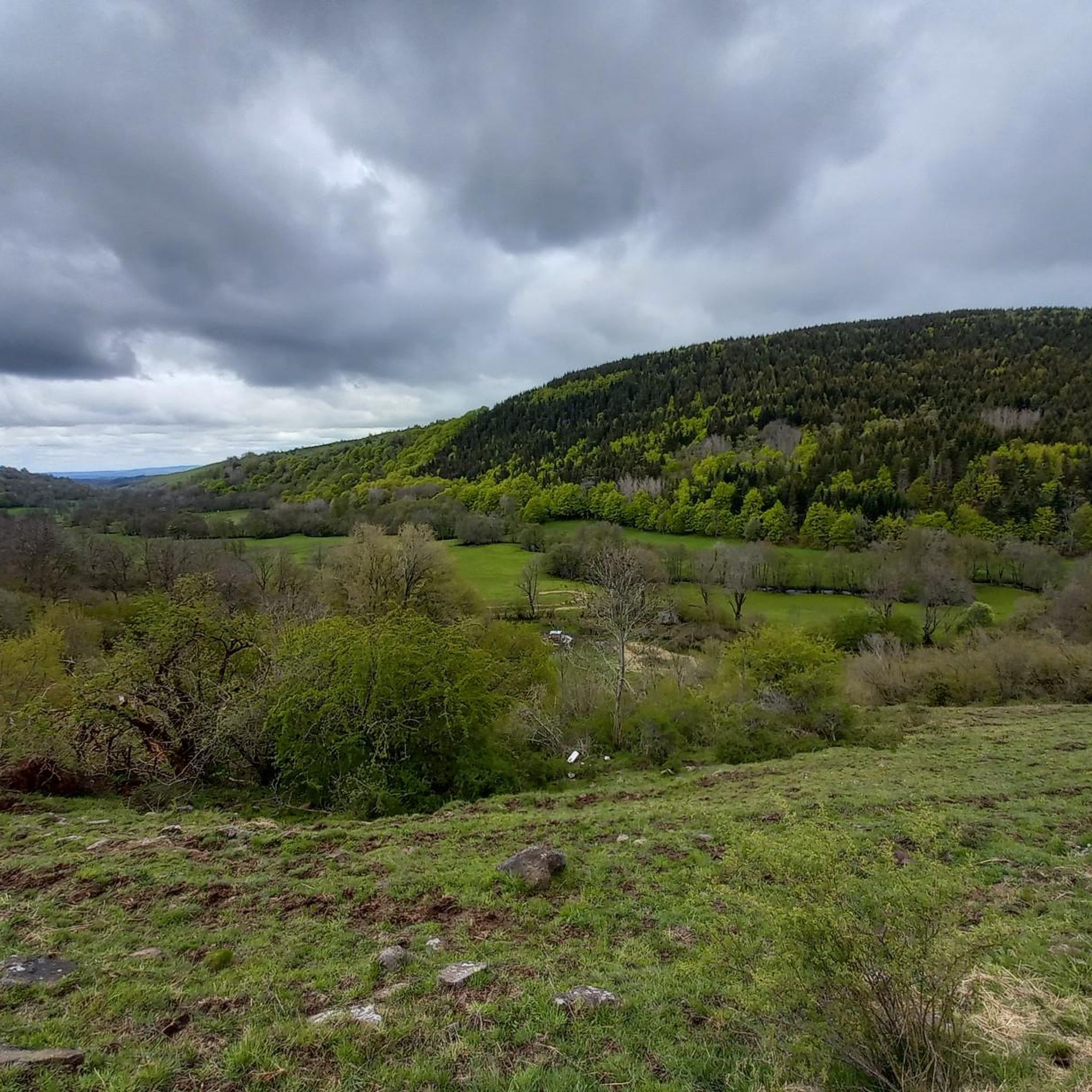
Magnificent views over the plateau. A pleasant climb to the Col d'Aubrac.
0
0

A place worth seeing, I'll go inside tomorrow. Okay, only worth seeing from a distance, the church on the hill is quite pretty. But the large main road and the huge parking lot in the city center didn't encourage me to take a longer break. I've seen other beautiful places.
0
0

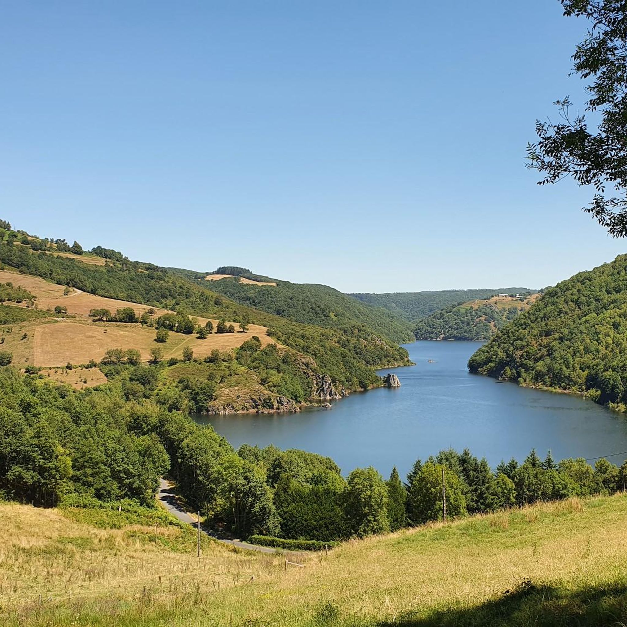
View of the river and the grandiose and wild gorges of Truyère. The site is classified and is among the Natura 2000 areas. The gorges are home to numerous birds of prey including a large population of peregrine falcons.
0
0

Lovely view of the Truyère which winds through the heart of the green valley. A feast for the eyes !
2
0

Laguiole is renowned for its knives but it is also a pretty village whose several buildings recall its rich history. The view from the Saint-Matthieu church at the top of the hill is also magnificent.
0
0
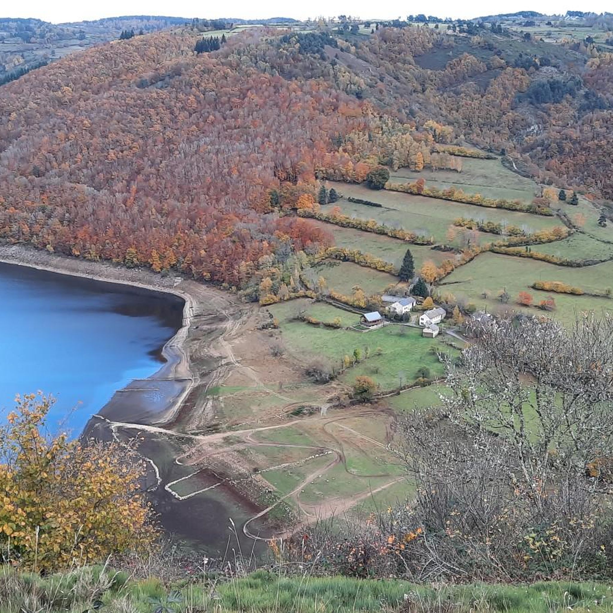
One of the biggest dam in Europe which contains more than 1000 hectares of mountain water. A balcony path borders the lake, just after the bridge. A single site!
1
0
Aveyron village with narrow streets and slate roof houses. It is the capital of Aubrac but also of the famous Laguiole knives. Do not miss the statue of the ox, in the center of the place du fairground, where a market is held every Saturday morning.
2
0
Frequently Asked Questions
How many road cycling routes are available around Lieutadès?
There are nearly 60 road cycling routes around Lieutadès, offering a wide range of options for different skill levels. You'll find everything from moderate rides to challenging climbs through the diverse landscapes of the Cantal and Aubrac regions.
What kind of terrain can I expect when road cycling near Lieutadès?
The terrain around Lieutadès is incredibly varied, characterized by dramatic volcanic landscapes, vast plateaus, and scenic river valleys. You can expect significant elevation changes, winding roads through forests and pastures, and routes alongside rivers like the Truyère. The region offers both demanding climbs and more moderate stretches.
Are there challenging climbs for experienced road cyclists in the Lieutadès area?
Yes, the Cantal region, which encompasses Lieutadès, is known for its challenging volcanic landscapes and mountain passes. Many routes feature significant elevation gains, with some climbs reaching between 5% and 12% gradients. For instance, the route 3-4km climb between 5 and 12%. loop from Espinasse includes such demanding sections, making it ideal for experienced riders seeking a test of endurance.
Can beginners find suitable road cycling routes around Lieutadès?
While many routes in the region are moderate to difficult, there are options for beginners. Out of nearly 60 routes, at least one is rated as easy, providing a gentler introduction to road cycling in the area. These routes typically feature less elevation gain and shorter distances, allowing new cyclists to enjoy the scenery without excessive challenge.
What scenic landmarks or points of interest can I see while road cycling near Lieutadès?
The region offers numerous scenic highlights. You might cycle past the beautiful Laussac Peninsula, ride alongside the Banks of the Truyère, or see the impressive Sarrans Dam. The Church of Chaudes-Aigues is another notable landmark, and you can find routes like Church of Chaudes-Aigues – Saint Urcize loop from Chaudes-Aigues that pass through such historic and scenic spots.
What do other road cyclists enjoy most about road cycling in Lieutadès?
The road cycling routes around Lieutadès are highly rated by the komoot community, with an average score of 4.6 stars from over 18 reviews. Cyclists often praise the diverse volcanic and pastoral landscapes, the varied terrain, and the opportunity to explore charming villages and natural features like the Truyère river. The challenging climbs and expansive views are frequently highlighted as key attractions.
Are there any circular road cycling routes around Lieutadès?
Yes, many of the road cycling routes around Lieutadès are designed as loops, allowing you to start and finish in the same location. Examples include the Laguiole Village – Saint Urcize loop from Chaudes-Aigues, which traverses the Aubrac plateau, and the Cantoin – Pont Vert over the Truyère loop from Cantoin, offering scenic views of the Truyère river.
What is the best time of year for road biking in the Lieutadès region?
The region is best enjoyed for road cycling during the warmer months, typically from spring through autumn. This period offers more favorable weather conditions for tackling the varied terrain and enjoying the scenic landscapes. During winter, the area transforms into a hub for Nordic activities, so road cycling might be less suitable due to snow and colder temperatures.
Are there road cycling routes that pass by cafes or pubs in the Lieutadès area?
While specific routes are not explicitly tagged with cafe stops, the region around Lieutadès, including nearby charming villages like Laguiole and Chaudes-Aigues, offers various amenities. Many routes pass through or near these villages, providing opportunities to find cafes, pubs, and accommodation to refuel and rest during your ride. It's always a good idea to check local services in advance.
Is public transport available for cyclists in the Cantal region near Lieutadès?
While the region is well-suited for cycling, specific public transport options for carrying bikes directly to trailheads might be limited. It's advisable to check local bus or train services in the Cantal department for their bike policies, as these can vary. For detailed information on regional transport, you might consult local tourism resources like Hautes Terres Tourisme or Pays Aurillac Tourisme, which often provide practical visitor information.
Are there any less crowded road cycling routes near Lieutadès?
The Lieutadès area, situated within the Aubrac Regional Nature Park and the broader Cantal region, offers vast natural spaces. While popular routes exist, the extensive network of roads through plateaus, forests, and pastures means you can often find quieter roads, especially outside of peak tourist seasons. Exploring routes that venture deeper into the regional park or less-traveled areas can provide a more serene cycling experience.
What are the typical distances and elevation gains for road cycling routes around Lieutadès?
Road cycling routes around Lieutadès vary significantly in length and elevation. Distances can range from around 30 km (18.6 miles) to over 68 km (42.4 miles). Elevation gains are often substantial, with many routes featuring ascents of 500 meters (1,640 feet) to over 1200 meters (3,937 feet). For example, the Church of Chaudes-Aigues – Banks of the Truyère loop from Pierrefort covers 67.5 km with over 1290 meters of climbing.
Most popular attractions around Lieutadès

Get inspired with the komoot mobile app


Explore more
Browse the best Road cycling routes in other regions.
