The best walks and hikes around Neussargues-Moissac
4.6
(219)
1,286
hikers
88
hikes
Hiking around Neussargues-Moissac offers diverse landscapes within the Cantal region of France. The area is characterized by the Monts du Cantal, Europe's largest stratovolcano, featuring dramatic peaks and volcanic formations. Hikers can explore picturesque valleys, such as the Alagnon, alongside expansive plains, plateaus, and dense forests like the Massif de la Pinatelle. The terrain includes a mix of ancient volcanic ridges, basaltic structures, and unique peat bogs.
Best hiking trails around Neussargues-Moissac
- The most popular hiking route is Cheylat Waterfall…
Last updated: June 30, 2026
4.8
(6)
34
hikers
14.3km
04:06
330m
330m
Moderate hike. Good fitness required. Easily-accessible paths. Suitable for all skill levels.
4.9
(8)
36
hikers
17.6km
05:01
380m
380m
Hard hike. Very good fitness required. Mostly accessible paths. Sure-footedness required.

Sign up for free
4.7
(3)
15
hikers
11.4km
03:08
180m
190m
Moderate hike. Good fitness required. Easily-accessible paths. Suitable for all skill levels.
5.0
(4)
12
hikers
9.16km
02:27
100m
100m
Moderate hike. Good fitness required. Easily-accessible paths. Suitable for all skill levels.
15
hikers
10.5km
02:55
180m
180m
Moderate hike. Good fitness required. Easily-accessible paths. Suitable for all skill levels.
Get access to more routes and recommendations from other explorers.
Sign up for free
Already have an account?
Our route recommendations are based on thousands of hikes, rides, and runs completed by other people on komoot.
Start today with a free account
Your next adventure awaits.
Login or Signup
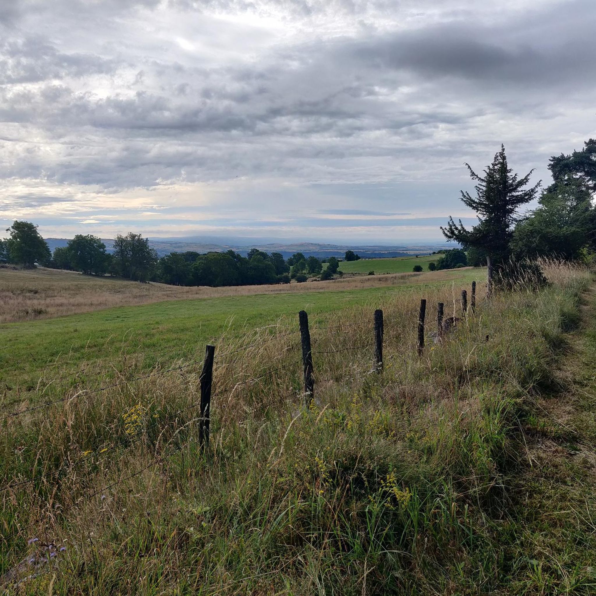
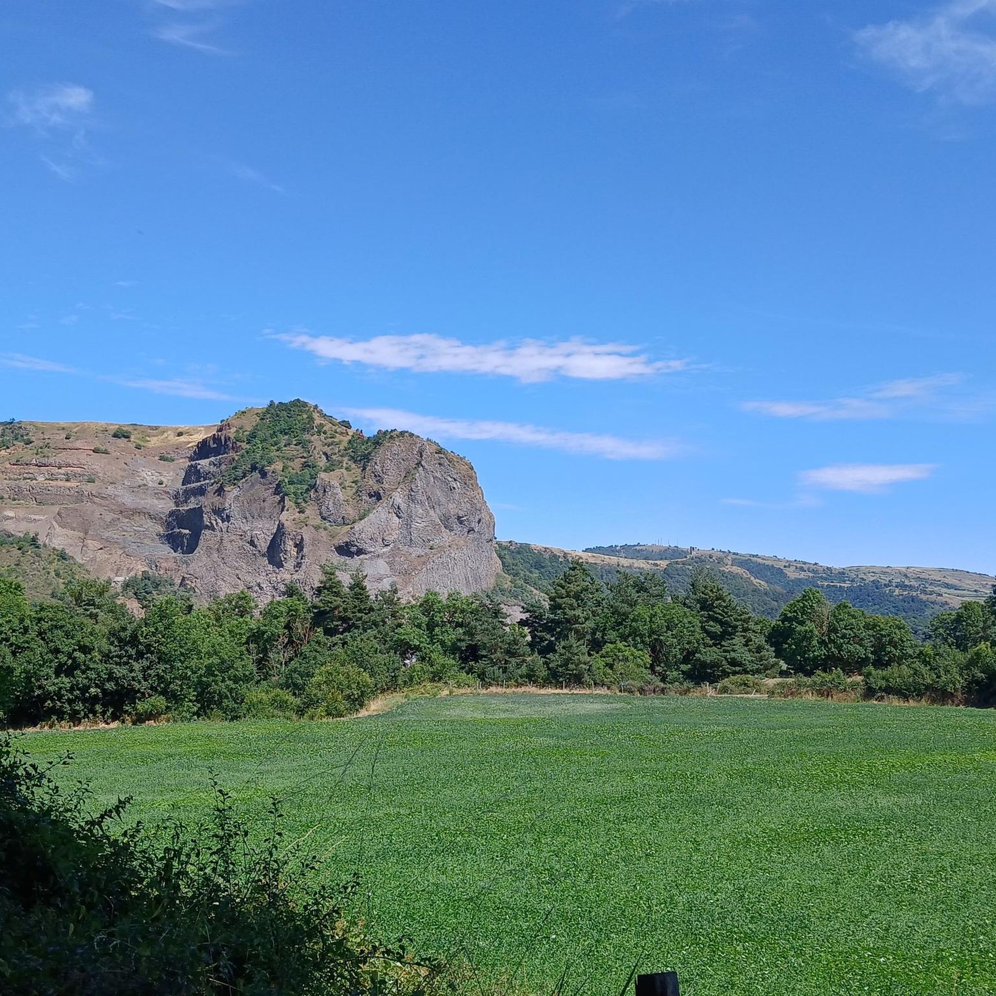
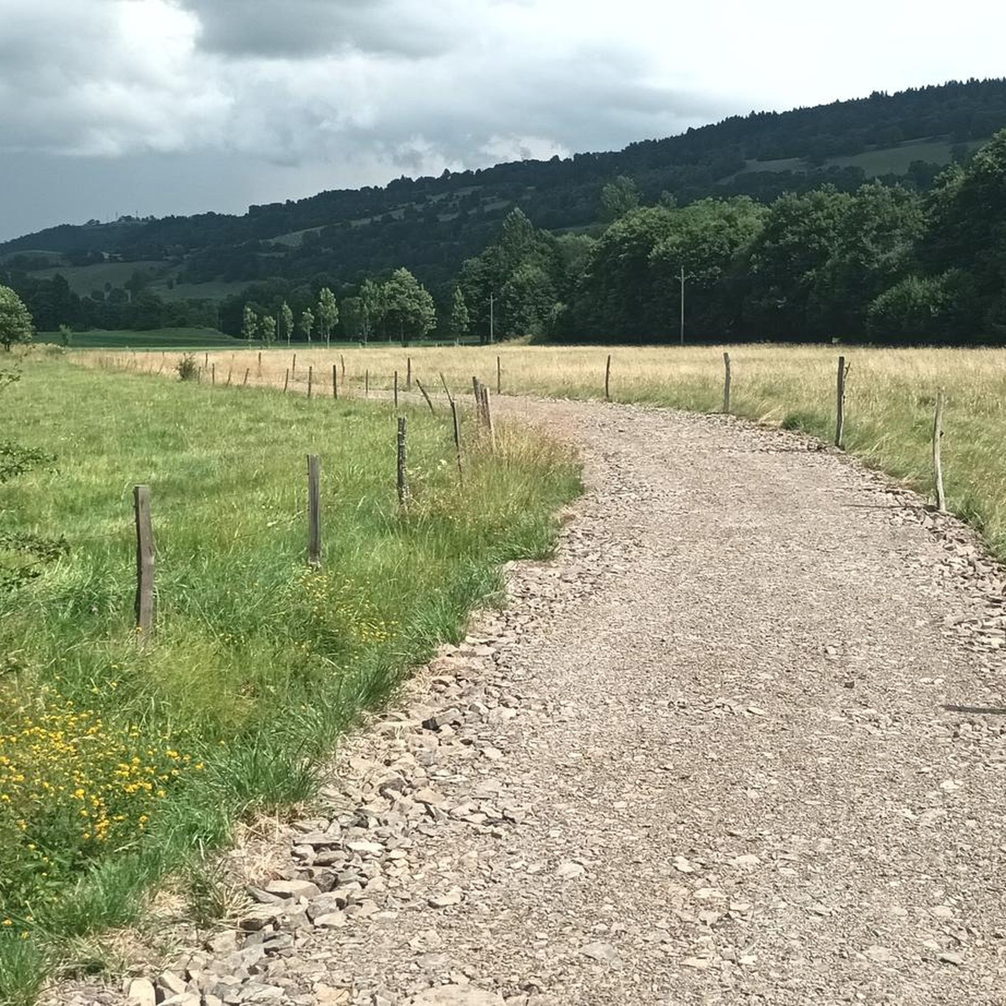


Tips from the Community

Very beautiful route The Volcanoes
0
0

The Lac du Pêcher is an artificial body of water at altitude (1142m), even if it itself comes from a peat bog. Its history is therefore rich. The place would have been cleared by the Templars and its name "Fishing" would have medieval origins which designates a body of water for fish farming. It is part of a classified natural area.
2
0

The path leads through the middle of lush grass next to the paddock.
1
0
Here you can get off your bike and greet the friendly four-legged friends with the soft noses.
0
0
Frequently Asked Questions
How many hiking trails are available around Neussargues-Moissac?
The Neussargues-Moissac area offers a wide selection of over 80 hiking trails. These routes cater to various preferences, from leisurely walks to more challenging ascents, exploring the diverse landscapes of the Cantal region.
What kind of terrain can I expect on hikes near Neussargues-Moissac?
Hikes around Neussargues-Moissac feature a diverse range of terrain. You'll encounter dramatic volcanic landscapes, including ridges of the Monts du Cantal, deep valleys like the Alagnon, expansive plains, plateaus, and dense forests such as the Massif de la Pinatelle. Unique basaltic formations and peat bogs also add to the varied scenery.
Are there any hikes that feature waterfalls in the Neussargues-Moissac area?
Yes, several hikes lead to beautiful waterfalls. For example, the Cheylat Waterfall loop from Chalinargues is a popular moderate trail directly to the Cheylat Waterfall. Another option is the more challenging Cuzers Caves – Cheylat Waterfall loop from Neussargues, which also includes the waterfall.
Can I explore caves on a hike in this area?
Yes, you can explore caves on a hike near Neussargues-Moissac. The Cuzers Caves – Cheylat Waterfall loop from Neussargues is a challenging 11-mile (17.6 km) route that specifically includes the Cuzers Caves as a point of interest.
Are there any circular walks around lakes in Neussargues-Moissac?
Yes, there are lovely circular walks around lakes. The Fisherman's Lake loop from Gaec Bertheol-Frosio is a moderate 7.1-mile (11.4 km) trail that takes you through natural landscapes surrounding the lake. Another option is the Fisherman's Lake – Lake du Pêcher loop from Cimetière de Mouret, which is a slightly shorter moderate route.
What historical landmarks or points of interest can I see while hiking?
The region is rich in history. You can explore the ruins of a 12th-century château on the "Tour de Mardogne" trail, which offers views over the plain of Neussargues-en-Pinatelle and the Cantal Volcano. Additionally, nearby attractions include Sailhant Castle and the charming settlement of Murat.
What do other hikers say about the trails in Neussargues-Moissac?
The hiking trails in Neussargues-Moissac are highly regarded by the komoot community, with an average rating of 4.7 stars from over 180 reviews. Hikers often praise the varied terrain, the dramatic volcanic scenery, and the well-maintained network of paths that offer options for all ability levels.
Are there any family-friendly hiking options in the area?
While specific family-friendly routes are not detailed in the provided data, the area offers a range of trails from easy to difficult. Many of the shorter, less strenuous routes, particularly those around lakes or through forests, would be suitable for families. It's always recommended to check the specific trail details for distance and elevation before heading out with children.
Is it possible to hike with dogs on the trails around Neussargues-Moissac?
Generally, dogs are welcome on many hiking trails in France, especially in natural areas. However, specific rules regarding leashes or access to certain protected areas (like nature reserves or private pastures) may apply. It's advisable to keep your dog on a leash, especially when passing through agricultural land or near livestock, and to check local signage for any restrictions.
What is the best time of year to go hiking in Neussargues-Moissac?
The Cantal region, where Neussargues-Moissac is located, is generally best for hiking from spring through autumn. Spring offers lush greenery and wildflowers, while summer provides warm weather for exploring. Autumn is particularly beautiful with changing foliage and the opportunity to observe the 'Brame du cerf' (deer rut) in areas like the Massif de la Pinatelle. Winter hiking is possible but may require specialized gear due to snow and colder temperatures, especially at higher elevations.
Are there any challenging hikes for experienced hikers?
Yes, for experienced hikers seeking a challenge, the region offers routes with significant elevation gain and varied terrain. The Cuzers Caves – Cheylat Waterfall loop from Neussargues is classified as a difficult 11-mile (17.6 km) path, featuring substantial ascents and descents. The Monts du Cantal, with peaks like Puy Mary and Plomb du Cantal, also provide strenuous ascents and dramatic ridge walks.
Most popular routes around Neussargues-Moissac
Most popular attractions around Neussargues-Moissac

Get inspired with the komoot mobile app


Explore more
Browse the best Hikes in other regions.
