The best MTB trails around Mont-Le-Vignoble
4.3
(114)
922
riders
100
rides
Mountain bike trails around Mont-Le-Vignoble traverse a diverse landscape in north-eastern France, characterized by rolling vineyard-covered hills and varied topography. Elevations range from 732 to 1,296 feet (223 to 395 meters), providing dynamic terrain for cyclists. The region benefits from its proximity to significant natural areas, including the Lorraine Regional Natural Park and local forests, which offer extensive networks of trails. This blend of agricultural scenery and natural woodlands makes for varied mountain biking experiences.
Best mountain bike trails around…
Last updated: October 8, 2026
4.0
(2)
65
riders
37.5km
03:27
680m
680m
Moderate mountain bike ride. Good fitness required. Advanced riding skills necessary.
3.8
(5)
25
riders
41.7km
03:09
390m
390m
Moderate mountain bike ride. Good fitness required. Advanced riding skills necessary.

4.8
(10)
25
riders
25.4km
01:50
200m
200m
Moderate mountain bike ride. Great for any fitness level. Advanced riding skills necessary.
5.0
(1)
31
riders
25.7km
02:14
380m
380m
Moderate mountain bike ride. Good fitness required. Advanced riding skills necessary.
4.2
(5)
29
riders
36.1km
02:09
200m
200m
Moderate mountain bike ride. Good fitness required. Suitable for all skill levels.
Get access to more routes and recommendations from other explorers.
Already have an account?
Our route recommendations are based on thousands of hikes, rides, and runs completed by other people on komoot.
Start today with a free account
Your next adventure awaits.


Tips from the Community

Saint-Étienne de Toul was the cathedral of the Diocese of Toul until its dissolution under Napoleon in 1801. The architectural style of the cathedral, built between the 13th and 15th centuries, is late Gothic.
0
0

Very impressive when you drive through the old city gates.
1
0

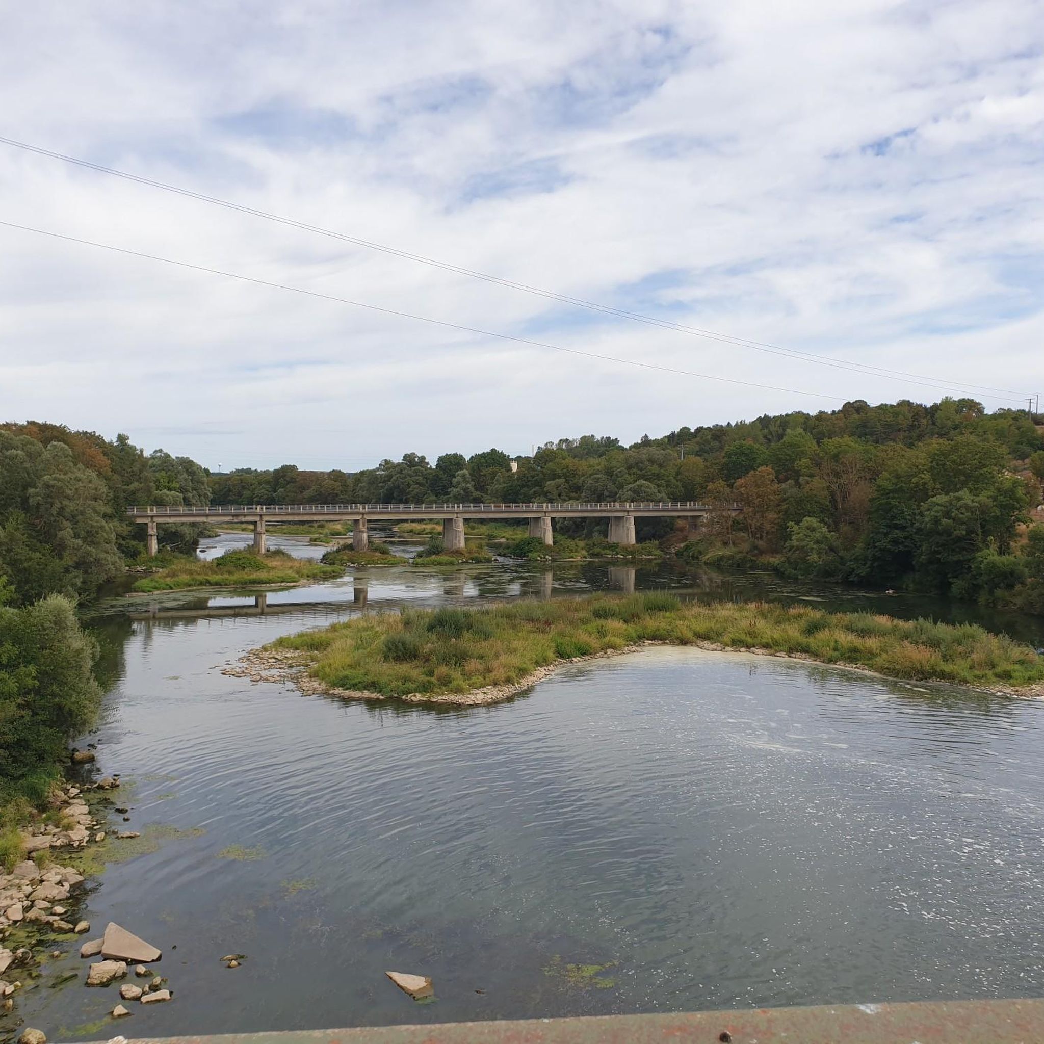
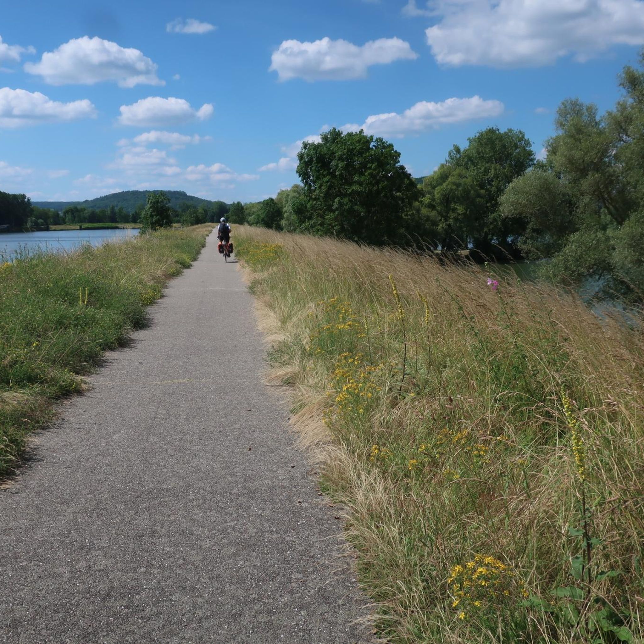
The Villey-le-Sec Dam offers a great mix of stunning scenery and challenges for road cyclists. Located on the Moselle River, you'll ride on well-maintained paths and enjoy views of this relaxing river.
1
0

A good steep hill for me, requires a bit of training to climb it, especially the second part.
0
0

Abandoned huge fort, take a flashlight
0
0

In spring, the entire small river valley is a huge field of wild garlic.
1
0

Belonging to the Séré de Rivières system, it is a belt fort of the stronghold of Toul. Dominating the threshold of the Passage de Foug, it controlled with its neighbor, the fort of Domgermain, this passage crossing the coasts of Toul. (wiki)
2
0
The lock and dam are managed by Voies Navigables de France. Construction of the hydroelectric power plant began in May 1986. It is attached to the dam. As the name suggests, the structure is used to generate electricity by taking advantage of the waterfall caused by the dam. The power plant does not operate during periods of high or low water. It is managed by EDF. [https://www.villeylesec.fr/L-ecluse-et-le-barrage?lang=fr]
3
0
Frequently Asked Questions
What kind of terrain can I expect on mountain bike trails around Mont-Le-Vignoble?
The terrain around Mont-Le-Vignoble is quite varied, ranging from 223 to 395 meters (732 to 1,296 ft) in elevation. You'll find rolling hills covered in vineyards, as well as wooded areas and paths through natural parks. This diverse topography offers dynamic experiences, from gentler vineyard paths to more challenging forest ascents and descents.
Are there mountain bike trails suitable for families in Mont-Le-Vignoble?
Yes, Mont-Le-Vignoble offers trails suitable for families. The region has options for different ability levels, including easy, family-friendly paths. For example, the View of Toul Cathedral – Port de France in Toul loop from Mont-le-Vignoble is an easy 32.0 km path that offers a gentle ride through vineyard landscapes.
What natural features or landmarks can I see while mountain biking in the area?
The area is rich in natural beauty and historical sites. You can explore picturesque vineyard landscapes, dense forests, and parts of the Lorraine Regional Natural Park. Notable landmarks include the historic town of Toul, with its impressive Saint Stephen's Cathedral, and the Fort de Villey-le-Sec. Some routes also pass by the Lourdes Grotto.
Are there any circular mountain bike routes available?
Yes, many mountain bike routes around Mont-Le-Vignoble are designed as circular loops. For instance, the Vieux cimetière – Fort de Domgermain loop from Blénod-lès-Toul is a moderate 28.2 km trail that explores the local countryside. Another option is the Sainte-Reine Cave – Sainte-Reine Cave loop from Toul, a moderate 16.2 km route.
What do other mountain bikers say about the trails in Mont-Le-Vignoble?
The mountain bike trails in Mont-Le-Vignoble are highly rated by the komoot community, with an average score of 4.3 stars from over 110 reviews. Users often praise the diverse landscapes, which combine vineyard scenery with natural woodlands, and the variety of routes suitable for different skill levels.
How many mountain bike trails are there around Mont-Le-Vignoble?
There are over 100 mountain bike trails available around Mont-Le-Vignoble, offering a wide range of options for different skill levels and preferences.
Are there mountain bike trails for advanced riders?
While the majority of trails are moderate, there are some more challenging options for advanced riders. The region's varied topography, with its climbs and descents, provides opportunities for more demanding rides, especially in the wooded areas and around the Lorraine Regional Natural Park.
Can I bring my dog on the mountain bike trails?
Generally, dogs are welcome on many outdoor trails in France, especially in natural areas. However, it's always best to check local signage or specific trail regulations for any restrictions, particularly in protected natural parks or private vineyard areas. Keeping your dog on a leash is usually recommended for their safety and to respect wildlife.
Where can I find parking for mountain biking in Mont-Le-Vignoble?
While specific parking areas for mountain biking are not detailed, Mont-Le-Vignoble and nearby towns like Toul offer various parking options. It's advisable to look for public parking in the villages or at trailheads. Some routes, like the Fort d'Ecrouves (Remains) – Choloy-Ménillot loop from Mont-le-Vignoble, start directly from Mont-Le-Vignoble, suggesting local parking availability.
What is the best time of year to go mountain biking in Mont-Le-Vignoble?
The best time for mountain biking in Mont-Le-Vignoble is generally from spring to autumn (April to October). During these months, the weather is typically mild and pleasant, making for ideal riding conditions. The vineyards are particularly beautiful in late spring and early autumn. Winter riding is possible but can be affected by colder temperatures and potentially muddy conditions.
Are there any long-distance mountain bike routes in the area?
Yes, the region offers longer routes for those seeking extended rides. For example, the Fort d'Ecrouves (Remains) – Choloy-Ménillot loop from Mont-le-Vignoble is a moderate 45.4 km trail with significant elevation gain, providing a more extensive exploration of the surrounding countryside.
Can I access the trails using public transport with my bike?
Public transport options to Mont-Le-Vignoble are limited, and bringing bikes on regional buses or trains can vary. It's recommended to check the specific policies of local transport providers in the Meurthe-et-Moselle department regarding bicycle carriage. Driving to the area and parking is often the most convenient option for mountain bikers.
Most popular routes around Mont-Le-Vignoble
Most popular attractions around Mont-Le-Vignoble

Get inspired with the komoot mobile app


Explore more
Browse the best MTB trails in other regions.
