The best running trails around Les Tonils
4.5
(38)
902
runners
59
runs
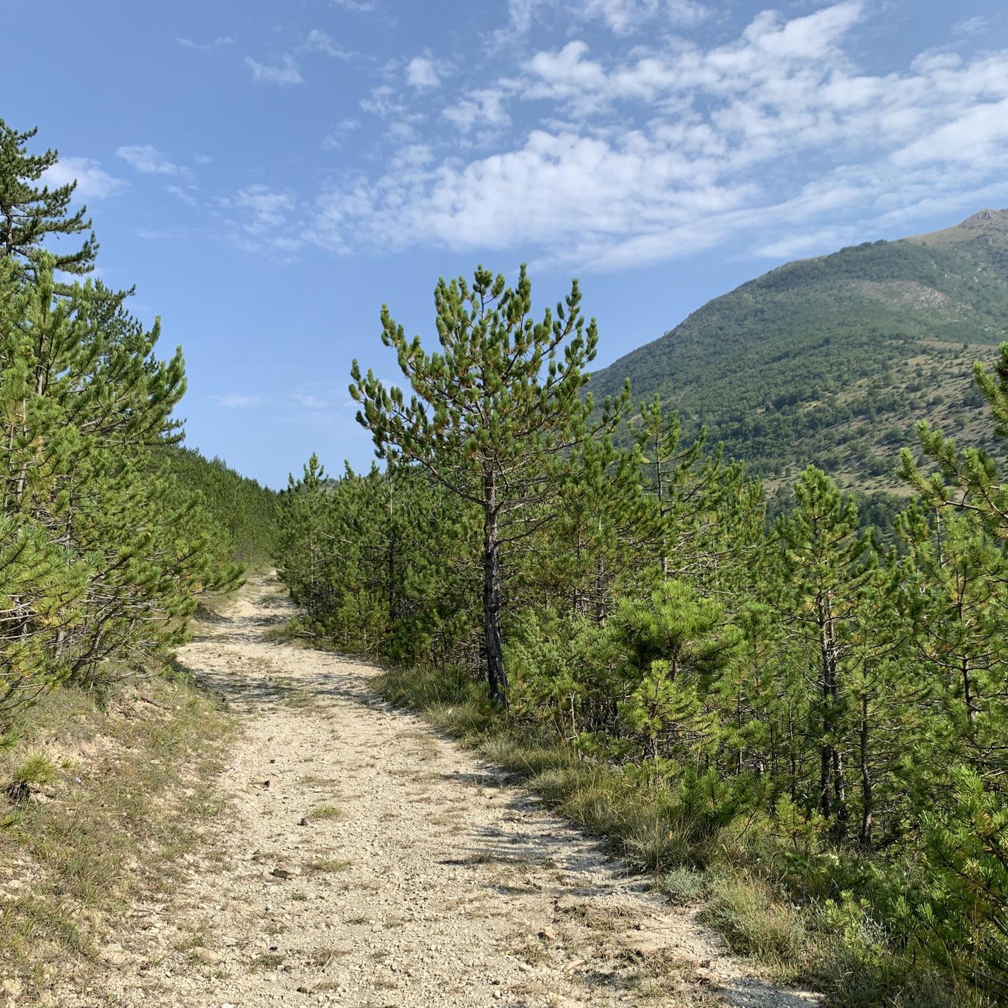
Jogging around Les Tonils offers a diverse landscape for runners, characterized by its position at the foot of Couspeau Mountain and proximity to the vast Saoû forest. The region features varied terrain, including challenging ascents towards peaks like Grand Delmas and extensive networks of trails through black pine forests. This natural environment provides a range of running experiences, from tranquil forest paths to more demanding mountain routes.
Best jogging routes around Les Tonils
- The most popular jogging route is Ascent…
Last updated: July 1, 2026
57
runners
6.28km
01:25
550m
550m
Hard run. Very good fitness required. Sure-footedness, sturdy shoes and alpine experience required.
48
runners
9.51km
01:59
690m
690m
Hard run. Very good fitness required. Sure-footedness, sturdy shoes and alpine experience required.

Sign up for free
18
runners
10.8km
01:09
120m
120m
Moderate run. Good fitness required. Mostly paved surfaces. Suitable for all skill levels.
14
runners
10.0km
01:04
140m
140m
Moderate run. Good fitness required. Mostly paved surfaces. Suitable for all skill levels.
15
runners
7.36km
00:48
110m
110m
Moderate run. Good fitness required. Mostly paved surfaces. Suitable for all skill levels.
Get access to more routes and recommendations from other explorers.
Sign up for free
Already have an account?
Our route recommendations are based on thousands of hikes, rides, and runs completed by other people on komoot.
Start today with a free account
Your next adventure awaits.
Login or Signup
Tips from the Community


Bourdeaux is a charming village crossed by Le Roubion. Here you will find many shops and artisans.
0
0

Beautiful mountain walk over the 3 peaks of the Drome with views to the Alps, Rhone Valley and Mont Ventoux 👌🏻
3
0

has a bike repair shop and bike rental at the same time
0
0

Located at 1,545 meters above sea level, Roche Courbe is part of the Trois Becs, one of the main mountain ranges of the Drôme. The ascent is therefore an essential step for anyone wishing to discover the jewels of the region.
0
0
The Trois becs include three peaks: the Veyou (1,589 meters), the Roche Courbe (1,545 meters) and the Signal (1,559 meters). If you are passing through the Drôme valley, the hike that connects the three is a must! These peaks overlook the forest massif of Saoû and the country of Crest. The landscapes on arrival are as exquisite as the path!
0
4
The Veyou (1,589 meters) is the highest peak of the Trois Becs, located in the Drôme massif. The difference in height is there, but as a reward, you will have the grandiose landscapes of the Diois.
5
1

Frequently Asked Questions
How many running routes are available around Les Tonils?
Les Tonils offers a wide selection of running routes, with over 60 trails available for exploration. These routes cater to various fitness levels, from moderate paths to more challenging ascents.
What kind of terrain can I expect on running trails in Les Tonils?
Runners in Les Tonils can expect diverse terrain, ranging from tranquil paths through black pine forests and fragrant lavender fields to challenging ascents on Grand Delmas and the peaks of Les Trois Becs. The region is characterized by its mountain backdrops and extensive forest trails, offering varied surfaces and elevation changes.
Are there easy running routes suitable for beginners in Les Tonils?
While many routes in Les Tonils involve some elevation, there are moderate options that can be suitable for beginners or those looking for a less strenuous run. For example, the Running loop from Les Sibours is a moderate 6.3 km trail with a manageable elevation gain, often completed in under an hour.
What are some challenging running routes for experienced runners in Les Tonils?
Experienced runners seeking a challenge will find plenty of options. The Ascent to the Trois Becs – Le Veyou loop from La Chaudière is a difficult 6.3 km trail with significant elevation. For a longer, demanding workout, consider the Grand Delmas loop from Col du Gourdon, which spans over 20 km with substantial climbing.
Can I find circular running routes in Les Tonils?
Yes, many of the running routes around Les Tonils are circular, allowing you to start and finish at the same point. Examples include the Running loop from Les Sibours and the Le Collet de Moune loop from Crupies, providing convenient options for your run.
Are there any scenic viewpoints or natural landmarks along the running trails?
Absolutely. The trails around Les Tonils offer stunning panoramic views of the Pre-Alps mountain range. You can also encounter notable natural landmarks such as the summits of Le Veyou, Les Trois Becs, and Grand Delmas. The area is also known for its diverse flora, including orchids and peonies, and protected wildlife.
Is Les Tonils a good place for family-friendly jogging?
Les Tonils offers a range of paths, some of which are accessible and suitable for families looking for a gentle jog or walk. While some routes are challenging, there are easier rambles through forests that can be enjoyed by all skill levels, providing a pleasant outdoor experience for families.
What do other runners enjoy most about jogging in Les Tonils?
The running routes in Les Tonils are highly rated by the komoot community, with an average score of 4.5 stars from over 40 reviews. Runners often praise the captivating scenery, the pure mountain air, and the diverse network of trails that cater to different abilities, from tranquil forest runs to demanding mountain ascents.
Are dogs allowed on the running trails in Les Tonils?
Generally, dogs are welcome on trails in the Les Tonils region, especially in natural areas like the Saoû forest. However, it's always recommended to keep them on a leash, especially in protected areas or during wildlife breeding seasons, and to respect local signage regarding pet regulations.
What is the best time of year to go running in Les Tonils?
Les Tonils is enjoyable for running throughout much of the year. Spring and autumn offer pleasant temperatures and beautiful scenery, with wildflowers in spring and vibrant foliage in autumn. In summer, the black pine forests provide welcome shade. Winter running is possible, but some higher elevation trails might be affected by snow or ice, so checking conditions is advisable.
Are there any long-distance running trails near Les Tonils?
Yes, for those looking for longer runs, the region offers extensive trails. The Grand Delmas loop from Col du Gourdon is a significant 20.5 km route, and the Le Veyou – Roche Courbe loop from Col du Gourdon extends to nearly 18 km, providing substantial distances for endurance runners.
Where can I find parking for the running routes in Les Tonils?
Many trailheads around Les Tonils, especially those leading to popular areas like Col du Gourdon or La Chaudière, typically have designated parking areas. It's advisable to check the specific route details on komoot for information on parking availability at the starting point of your chosen trail.
Are there any cafes or restaurants near the running routes in Les Tonils?
Les Tonils is a charming village, and while specific cafes directly on every trailhead might be limited, you can find amenities within the village itself or in nearby towns. For more information on local services, you can visit the Dieulefit-Tourisme website: dieulefit-tourisme.com.
Most popular attractions around Les Tonils

Get inspired with the komoot mobile app


Explore more
Browse the best Running Trails & Routes in other regions.
