The best road cycling routes around Montréal-Les-Sources
4.5
(218)
4,767
riders
70
rides
Road cycling around Montréal-Les-Sources offers a diverse landscape characterized by its numerous passes, deep gorges, and rolling hills. The region features varied terrain, from challenging ascents over cols to routes winding through picturesque villages and along river valleys. Road cyclists can expect a mix of sustained climbs and scenic descents, with routes often traversing through the Drôme Provençale.
Best road cycling routes around Montréal-Les-Sources
- The most popular road cycling route is Sausse Pass – Gorges de Trente-Pas loop from Rémuzat…
Last updated: July 9, 2026
4.9
(19)
338
riders
62.6km
03:11
1,050m
1,050m
Hard road ride. Very good fitness required. Mostly well-paved surfaces and easy to ride.
5.0
(7)
259
riders
92.9km
04:53
1,770m
1,770m
Hard road ride. Very good fitness required. Mostly well-paved surfaces and easy to ride.

Sign up for free
4.3
(8)
251
riders
64.9km
03:18
1,080m
1,080m
Hard road ride. Very good fitness required. Mostly well-paved surfaces and easy to ride.
134
riders
111km
05:51
2,090m
2,090m
Hard road ride. Very good fitness required. Mostly well-paved surfaces and easy to ride.
3.0
(2)
85
riders
62.6km
03:05
920m
920m
Hard road ride. Very good fitness required. Mostly well-paved surfaces and easy to ride.
Get access to more routes and recommendations from other explorers.
Sign up for free
Already have an account?
Our route recommendations are based on thousands of hikes, rides, and runs completed by other people on komoot.
Start today with a free account
Your next adventure awaits.
Login or Signup
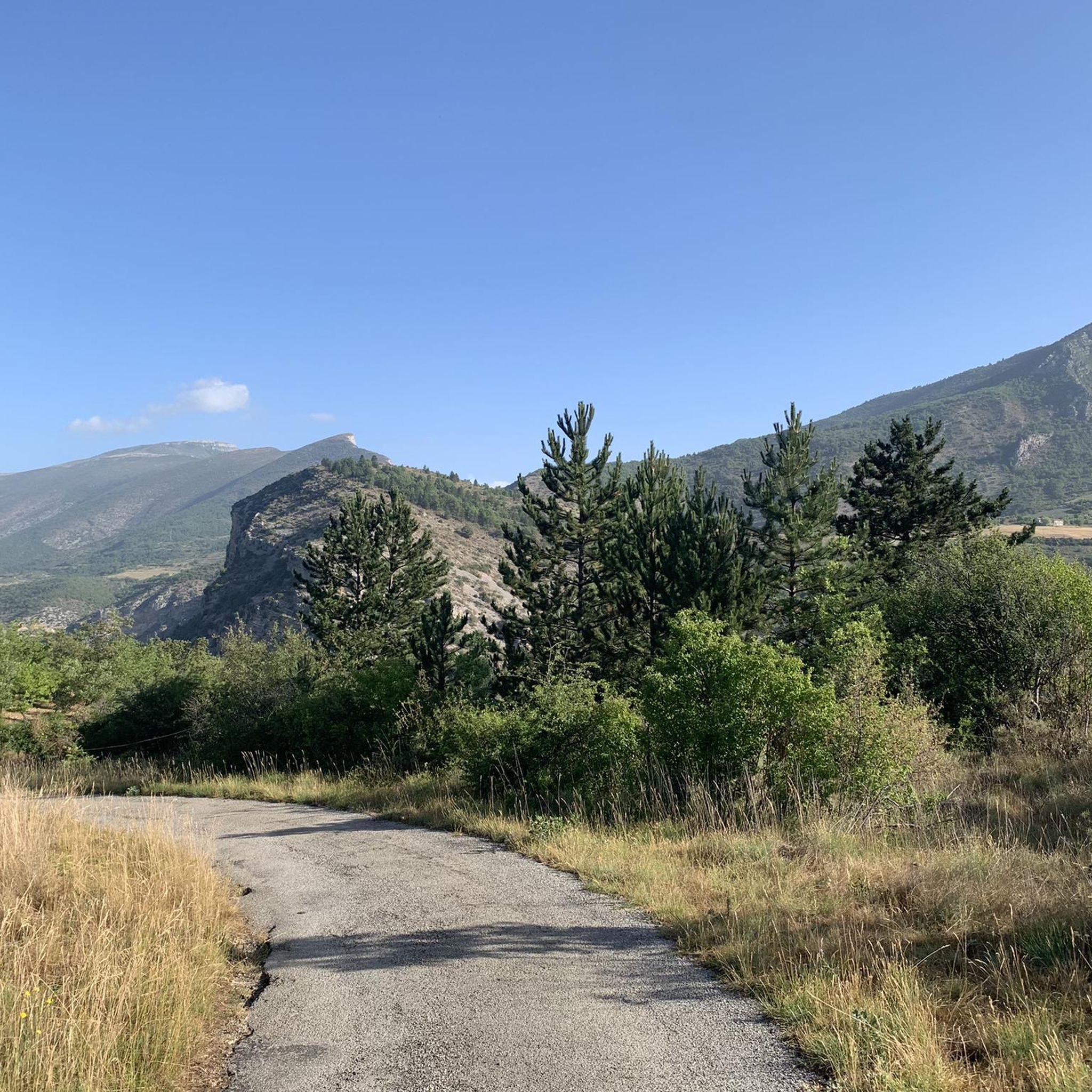
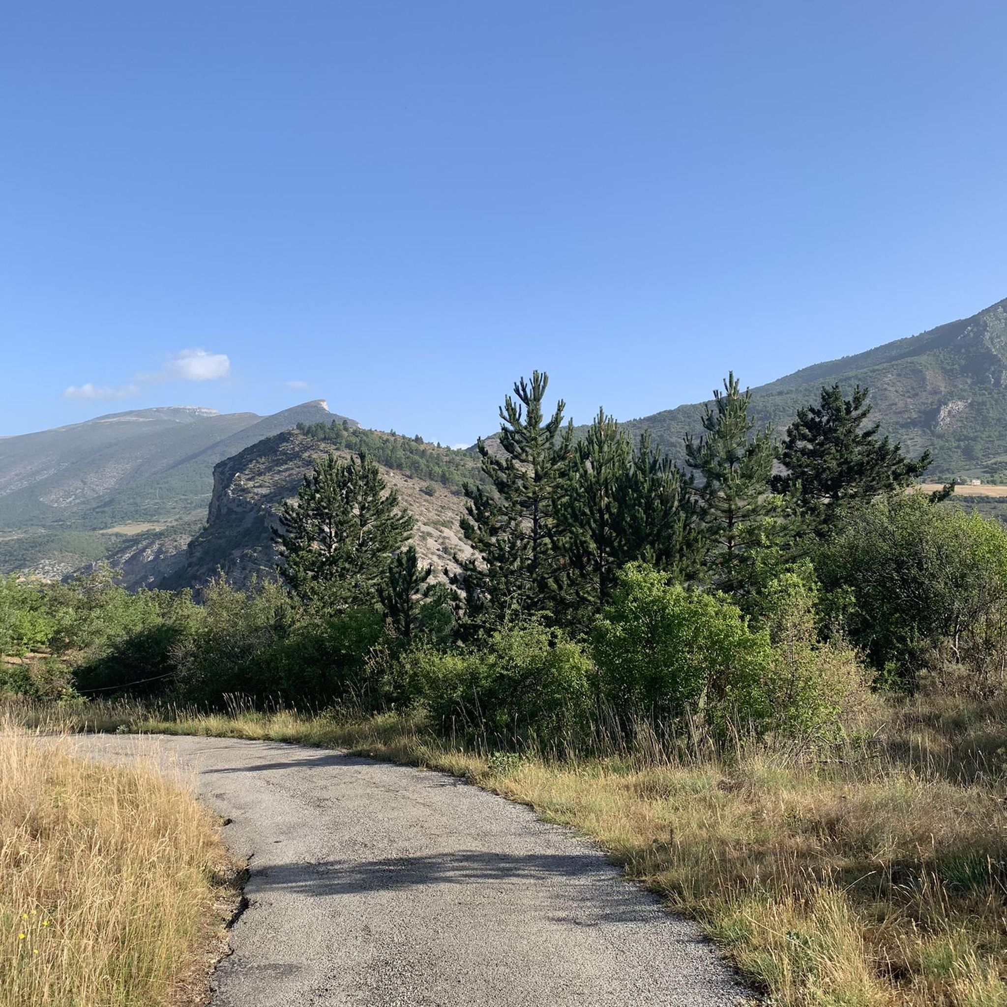
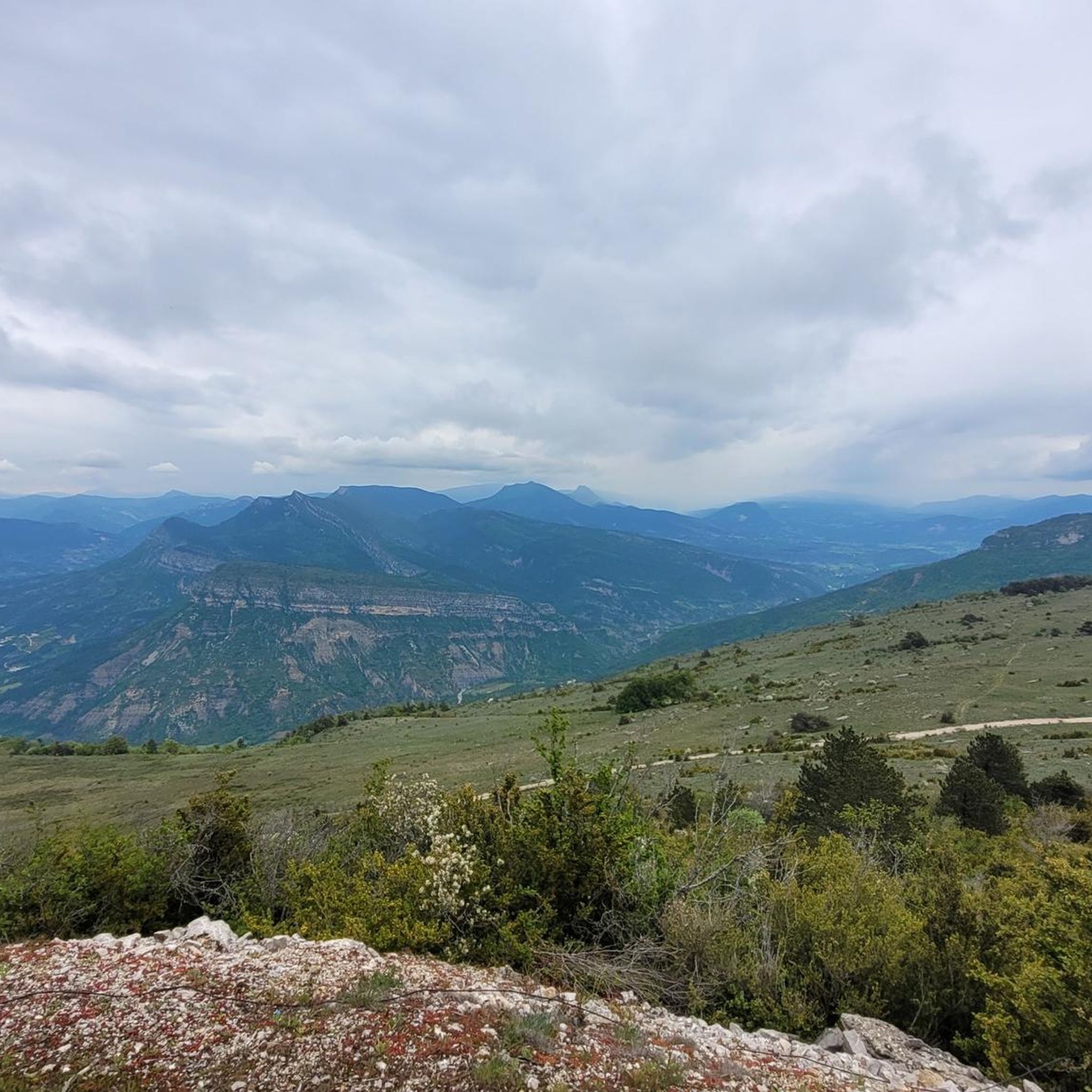
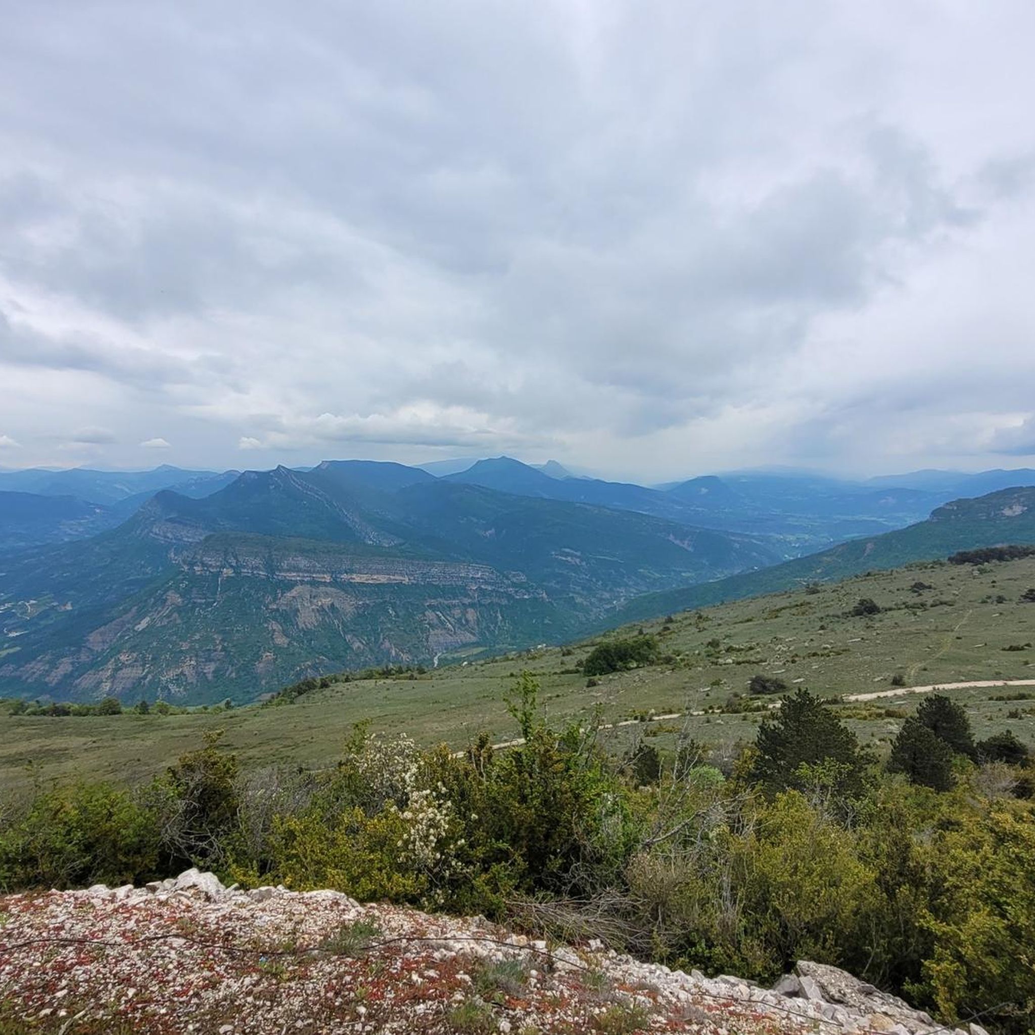

Tips from the Community

Building maintained in excellent condition.
0
0
The ascent to Col de la Fromagère / Col de Pommerol from Rosans is located in the Hautes-Alpes region. This ascent is 6.6 km long, with a total elevation gain of 371 m. The average gradient of the ascent to Col de la Fromagère / Col de Pommerol from Rosans is 5.6%.
0
0
The ascent to Col de la Fromagère / Col de Pommerol from Rosans is located in the Hautes-Alpes region. This ascent is 6.6 km long, with a total elevation gain of 371 m. The average gradient of the ascent to Col de la Fromagère / Col de Pommerol from Rosans is 5.6%.
0
0
Village surrounded by the Alps.
0
0
The Col de Soubeyrand (987–994 m, depending on the map source) is located in the Drôme department, in the Auvergne-Rhône-Alpes region, within the Baronnies provençales massif. It connects the Eygues valley with the Ennuye valley, between the villages of Rémuzat and Sainte-Jalle.
7
0


Excellent workout for cardio
0
0

splendid view over the surroundings and particularly over the Ennuyé valley
0
0
Frequently Asked Questions
What is the overall difficulty level of road cycling routes around Montréal-Les-Sources?
The road cycling routes in Montréal-Les-Sources offer a diverse range of difficulties. While there are 7 easy routes, the majority are moderate (38 routes) or difficult (27 routes), featuring challenging mountain passes and significant elevation gains. This makes the region particularly appealing for cyclists seeking a demanding experience.
Are there any beginner-friendly road cycling routes in Montréal-Les-Sources?
Yes, Montréal-Les-Sources offers 7 easy road cycling routes suitable for beginners or those looking for a more relaxed ride. These routes typically feature less elevation gain and shorter distances, allowing cyclists to enjoy the scenic landscape without extreme physical demands.
Which routes are recommended for advanced road cyclists seeking a challenge?
Advanced road cyclists will find plenty of challenging options. Routes like the Col d'Ey (718 m) – Col de la croix rouge (507m) loop from Rémuzat, spanning 57.7 miles with significant climbs, or the Travard Pass – Col de Pennes loop from Rémuzat, which covers over 69 miles and more than 2000 meters of elevation, offer extensive views and demanding ascents.
Are there long-distance road cycling routes available in the region?
Absolutely. Montréal-Les-Sources is known for its longer routes that traverse multiple passes and gorges. For instance, the Travard Pass – Col de Pennes loop from Rémuzat is a difficult 69-mile (111 km) route, providing a substantial long-distance cycling experience through varied terrain.
Can I find loop road cycling trails around Montréal-Les-Sources?
Many of the popular road cycling routes in Montréal-Les-Sources are loops, allowing you to start and finish in the same location. Examples include the Sausse Pass – Gorges de Trente-Pas loop from Rémuzat and the Rémuzat – COL DE POMMEROL loop from Villeperdrix, both offering circular journeys through the region's stunning landscapes.
What kind of scenic viewpoints can I expect along the road cycling routes?
The region is rich in scenic beauty, offering numerous viewpoints. Cyclists often encounter breathtaking vistas from mountain passes like Col d'Ey and Col de Soubeyrand (994 m). The routes also wind through deep gorges such as Gorges de Trente-Pas and Gorges de l’Eygues, providing dramatic natural scenery.
Are there any interesting landmarks or attractions to see while road cycling?
Yes, several routes pass by notable landmarks. For example, the 16th-century church – Les Pilles — village and bridge loop from Sahune takes you through the charming Les Pilles — village and bridge. Other attractions include the impressive Le Trou de Souris Rock Arch and the panoramic Rocher du Caire viewpoint.
How many road cycling routes are available around Montréal-Les-Sources?
There are over 70 road cycling routes available around Montréal-Les-Sources, offering a wide variety of distances, elevations, and difficulty levels to suit different preferences and fitness levels.
What do other road cyclists enjoy the most about road cycling in Montréal-Les-Sources?
The area is highly rated by the komoot community, with an average score of 4.6 stars from over 200 reviews. Reviewers often praise the region's diverse landscape, characterized by challenging mountain passes, deep gorges, and picturesque village roads, as well as the well-maintained routes that cater to various abilities.
What is the best time of year for road biking in Montréal-Les-Sources?
Given the region's mountainous terrain and passes, spring and autumn generally offer the most pleasant conditions for road cycling, with milder temperatures and less extreme heat than summer. However, always check local weather forecasts, especially for higher elevations, as conditions can change rapidly.
Are there any family-friendly road bike trails near Montréal-Les-Sources?
While many routes feature significant climbs, the 7 easy routes available are generally more suitable for families or those cycling with children. These routes tend to be shorter and have less demanding elevation profiles, allowing for a more relaxed and enjoyable family outing.
Most popular routes around Montréal-Les-Sources
Most popular attractions around Montréal-Les-Sources

Get inspired with the komoot mobile app


Explore more
Browse the best Road cycling routes in other regions.
