The best running trails around Panten
4.5
(366)
4,691
runners
260
runs
Jogging around Panten offers a chance to explore the gentle landscapes of Schleswig-Holstein. The region is characterized by its low elevation, with routes often following waterways such as canals and lakes, and winding through open countryside. This area provides a mix of paths suitable for various running preferences, from leisurely jogs to more extended workouts. The terrain is generally flat or gently undulating, making it accessible for most runners.
Best jogging routes around Panten
- The most popular jogging route is…
Last updated: October 13, 2026
4.7
(3)
31
runners
Hard run. Very good fitness required. Mostly paved surfaces. Suitable for all skill levels.
2.0
(2)
32
runners
Moderate run. Good fitness required. Mostly paved surfaces. Suitable for all skill levels.

4.6
(5)
23
runners
27.4km
03:06
210m
210m
Hard run. Very good fitness required. Mostly paved surfaces. Suitable for all skill levels.
18
runners
Hard run. Very good fitness required. Mostly paved surfaces. Suitable for all skill levels.
20
runners
Moderate run. Good fitness required. Mostly paved surfaces. Suitable for all skill levels.
Get access to more routes and recommendations from other explorers.
Already have an account?
Our route recommendations are based on thousands of hikes, rides, and runs completed by other people on komoot.
Start today with a free account
Your next adventure awaits.

Tips from the Community

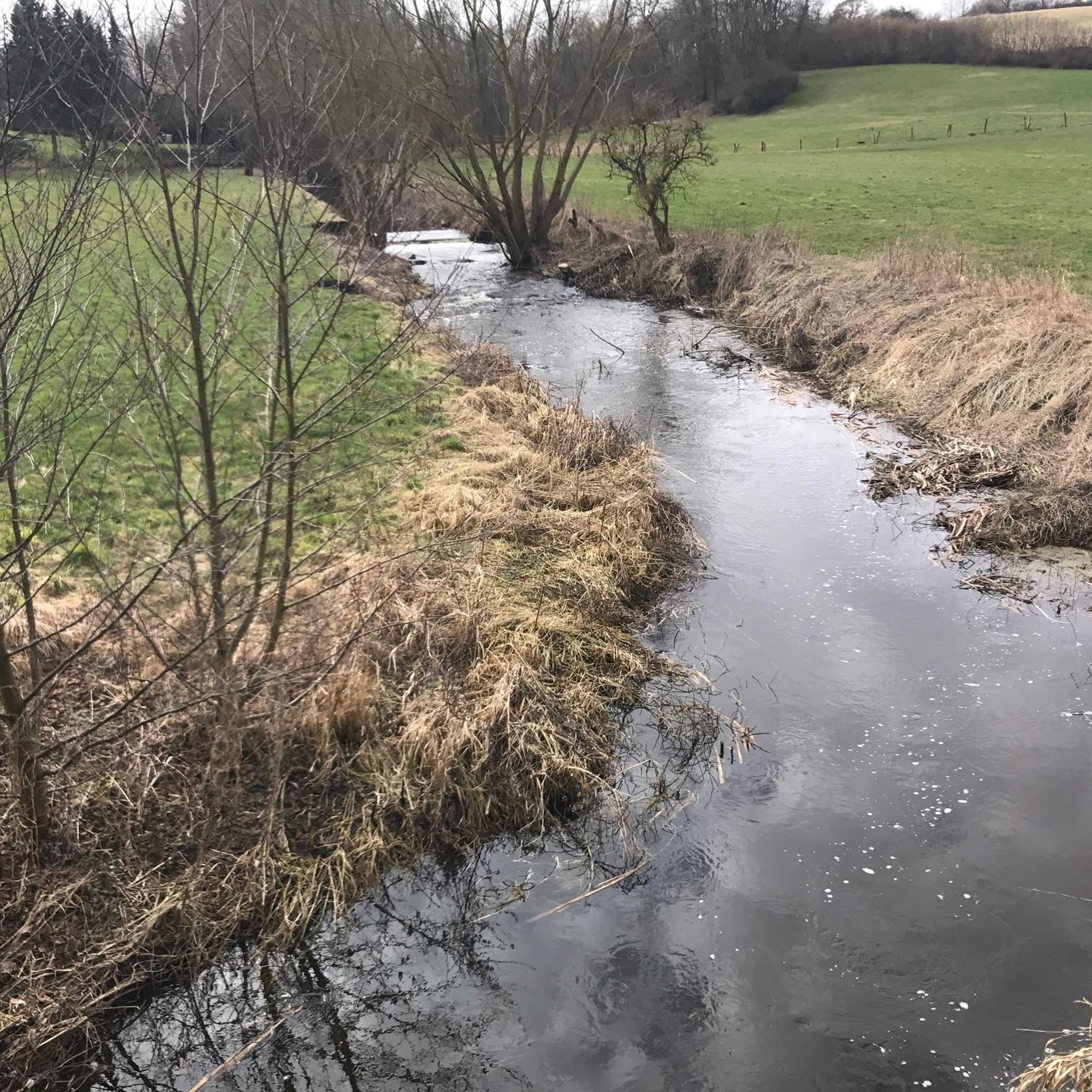
From the bridge you have a lovely view over the Schmalsee lake.
1
0

Carmen Langmaack, who passed away in 2015 at an advanced age, left a remarkable legacy to the town of Mölln. A foundation was established to promote nature conservation, animal welfare, and environmental education – entirely in her spirit. Although she no longer lived in Mölln for many years, she maintained a close connection to her homeland and the surrounding nature. Today, a beautiful footpath with a wooden bridge between the lakes at Schmalsee commemorates her: the Carmen Langmaack Trail.
1
0

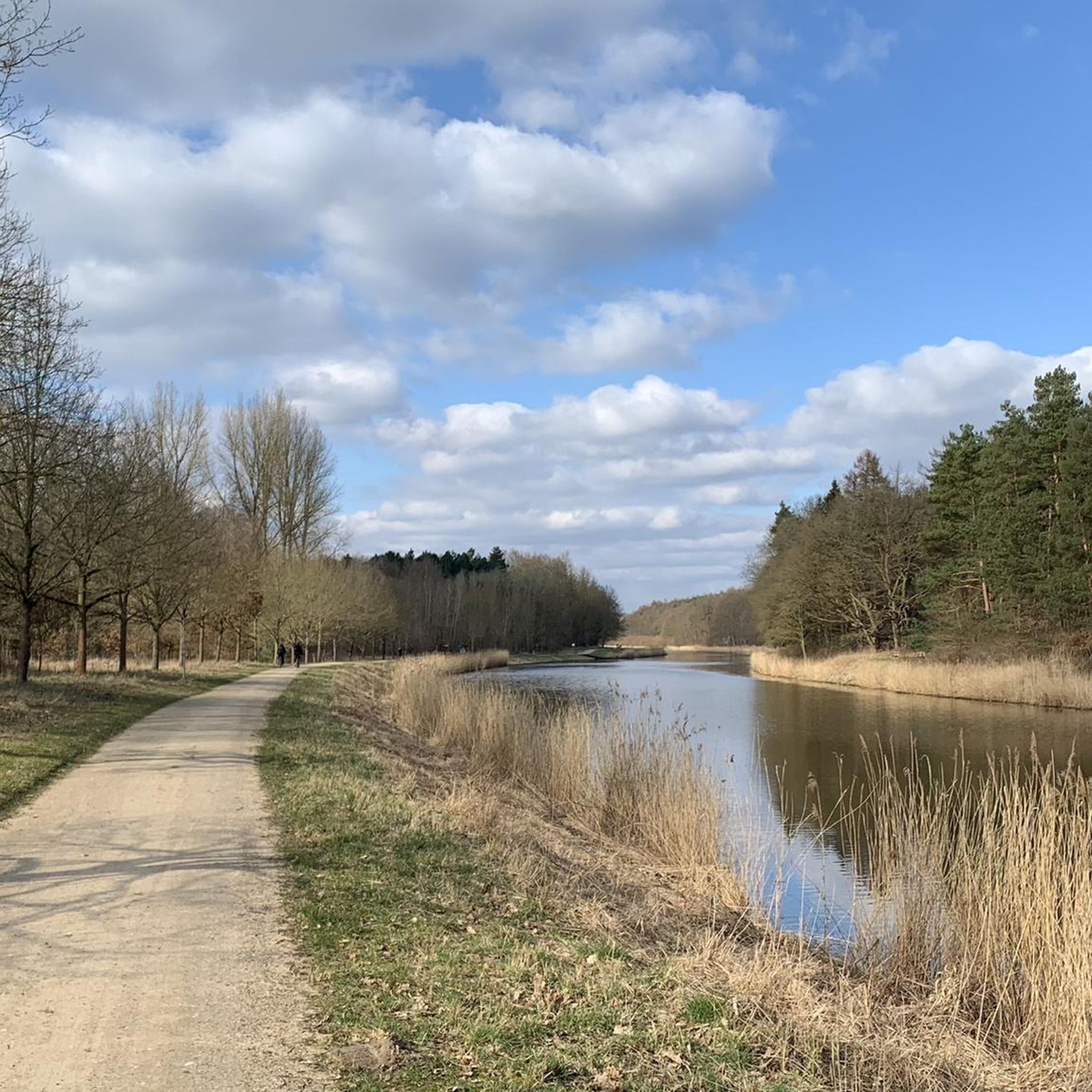
Easy-to-use cycle path. Car-free. Very idyllic, along the canal.
1
0

Nice place to take a break
1
0
Always a beautiful route, good to drive
1
0

The path along the canal is easy to navigate, although some of the gravel is also manageable. It gives you a good jolt. Most importantly, you can observe and see many birds.
1
0

Mölln: Bridges at Schmalsee reopened to pedestrians
2
0

Clear view of the campsite on the opposite bank!
8
0
Frequently Asked Questions
How many running routes are available around Panten?
The Panten area offers a wide selection of running routes, with over 270 trails available on komoot. These routes cater to various preferences, from easy jogs to more challenging runs.
What is the typical length of running routes in the Panten area?
Running routes around Panten vary in length. For example, the Running loop from Nusse is about 3.3 miles (5.4 km), while the Running loop from Alt Mölln extends to 6.0 miles (9.7 km). You'll find options for both shorter, quicker runs and longer, more extended workouts.
Are there easy running routes suitable for beginners in Panten?
Yes, Panten offers a good selection of easy running routes. Out of the total trails, 40 are classified as easy, making them ideal for beginners or those looking for a relaxed jog through the gentle landscapes of Schleswig-Holstein.
What do other runners say about the trails in Panten?
The running trails around Panten are highly rated by the komoot community, with an average score of 4.6 stars from over 300 reviews. Runners often praise the scenic paths along waterways and through open countryside, noting the generally flat or gently undulating terrain as accessible for most.
Are the running routes around Panten dog-friendly?
Many of the trails around Panten are suitable for running with dogs, especially those that follow canals, lakes, and open fields. However, it's always recommended to check specific route details on komoot for any restrictions or local regulations regarding dogs, and to keep your dog on a leash where required.
Can I find circular running routes in Panten?
Yes, circular routes are a popular option in the Panten area. Examples include the Running loop from Alt Mölln and the Stecknitzkanal loop from Alt Mölln, which allow you to start and finish at the same point, offering convenient running experiences.
What kind of scenery can I expect on a run near Panten?
Running near Panten offers views of the gentle Schleswig-Holstein landscape, characterized by waterways like canals and lakes, and open countryside. You'll often find yourself jogging through fields and around local villages, providing a peaceful and natural backdrop for your run.
Are there any interesting landmarks or natural features to see while running?
While Panten itself is a small municipality, the surrounding region offers natural attractions. You might encounter views of lakes such as Ratzeburg Lake or the View of Lake Ratzeburg and Ratzeburg Cathedral. Some routes also pass by points of interest like the Ratzeburg — Island Town.
Are there any running routes that offer good viewpoints?
Yes, some routes provide scenic viewpoints. For instance, the View of Ziegelsee loop from Alt Mölln offers pleasant vistas. The region's generally flat terrain means views often encompass wide open landscapes and serene waterways.
Can I access running routes near Panten by public transport?
While specific public transport access varies by route, many trails around Panten start from villages like Alt Mölln or Nusse, which may have local bus connections. It's advisable to check local public transport schedules for the specific starting point of your chosen route.
Are there any facilities like cafes or rest stops along the running trails?
While the guide doesn't specify cafes directly on the routes, you may find facilities in nearby villages like Alt Mölln or Nusse, where many routes begin. For rest stops, there are occasional shelters or huts in the broader region, such as the Observation Hut at Hellbach or the Jägerhütte Shelter with View of the Heath, which can offer a brief respite.
What is the best time of year for running in Panten?
The gentle landscapes of Panten are enjoyable for running throughout much of the year. Spring and autumn offer pleasant temperatures and beautiful scenery. Summer can be great for early morning or late evening runs, while winter running is possible, though conditions may vary depending on snow or ice.
Most popular attractions around Panten

Get inspired with the komoot mobile app


Explore more
Browse the best Running Trails & Routes in other regions.
