The best road cycling routes around Couleuvre
4.2
(6)
149
riders
54
rides
Road cycling routes around Couleuvre are situated within the Allier department of the Auvergne-Rhône-Alpes region, characterized by its diverse landscapes. The terrain features the hedgerows and woodlands of the Bourbonnais bocage, alongside the river valleys of the Allier. Cyclists encounter a mix of gentle plains and vineyard hillsides, with some routes extending towards the ancient oak forests of Tronçais. The region provides a varied topography suitable for road cycling.
Best road cycling routes around Couleuvre
- The most popular road cycling…
Last updated: July 2, 2026
10
riders
54.8km
02:25
370m
370m
Moderate road ride. Good fitness required. Some segments of this route may be unpaved and difficult to ride.
8
riders
59.6km
02:35
500m
500m
Moderate road ride. Good fitness required. Mostly well-paved surfaces and easy to ride.

Sign up for free
4
riders
57.3km
02:27
420m
420m
Moderate road ride. Good fitness required. Mostly well-paved surfaces and easy to ride.
6
riders
Moderate road ride. Good fitness required. Some segments of this route may be unpaved and difficult to ride.
4
riders
59.4km
02:37
600m
600m
Moderate road ride. Good fitness required. Mostly well-paved surfaces and easy to ride.
Get access to more routes and recommendations from other explorers.
Sign up for free
Already have an account?
Our route recommendations are based on thousands of hikes, rides, and runs completed by other people on komoot.
Start today with a free account
Your next adventure awaits.
Login or Signup


Tips from the Community

Warning: after Fragne, the road is private and access is prohibited. Dog + camera + signs.
0
0

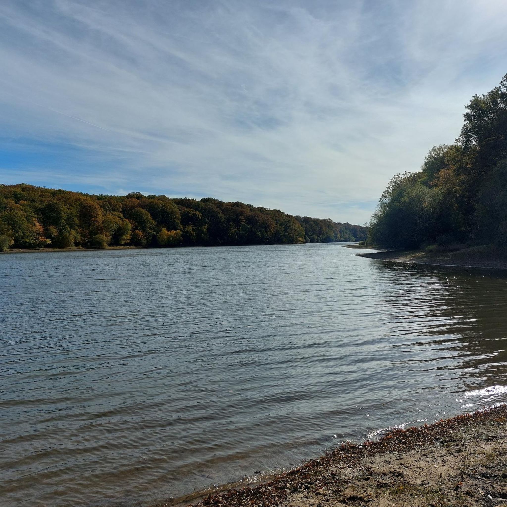
The idyllic "Etang de Tronçais" is featured in the komoot system not only for joggers, but also as a highlight for various sports, including hiking... If interested, see =>>https://www.komoot.com/de-de/highlight/6050740
0
0

A pond located in a beautiful setting, private but accessible to anglers. Starting point for several hikes.
0
0

Small restaurant available on the banks of the Allier. The setting is very bucolic. A very beautiful village.
0
0

The town of Souvigny was chosen by the Bourbon dynasty as the religious capital of its duchy. Thus, the commune became the necropolis of all the Bourbon lords.
0
0
Built in the 13th century on a rock overlooking the town of Bourbon-l'Archambault, this castle controlled the ancient roads. It was the first castle of the Bourbon dynasty. It will remain a "symbolic building" of the family's power.
0
0

A wonderful little town with small shops (including a bar, bakery, and groceries). A break with a baguette and Orangina is worthwhile.
2
0
Frequently Asked Questions
How many road cycling routes are available around Couleuvre?
There are over 45 road cycling routes around Couleuvre, offering a variety of experiences for different skill levels. The komoot community has explored these routes extensively, with over 100 road cyclists using komoot to discover the area.
What kind of terrain can I expect on road cycling routes near Couleuvre?
The terrain around Couleuvre is diverse, characterized by the hedgerows and woodlands of the Bourbonnais bocage, alongside the picturesque river valleys of the Allier. You'll encounter a mix of gentle plains and vineyard hillsides. Some routes extend towards the ancient oak forests of Tronçais, offering varied topography suitable for road cycling.
Are there easy road cycling routes suitable for beginners or families?
Yes, Couleuvre offers several easy road cycling routes. For instance, the Saint-Maurice Church loop from Lurcy-Lévis is an easy 23.2 miles (37.4 km) path, perfect for a relaxed ride, offering views of the Bourbonnais bocage and surrounding rural areas. In total, there are 7 easy routes available.
What are some more challenging road cycling options around Couleuvre?
For those seeking a challenge, the region offers routes with more significant elevation gains. The Moulins Iron Bridge – Saint-Étienne Church loop from Saint-Plaisir, for example, is a moderate route spanning nearly 50 miles (79.9 km) with over 700 meters of elevation gain. Overall, there are 39 moderate and 3 difficult routes to explore.
Can I find circular road cycling routes in the Couleuvre area?
Yes, many of the road cycling routes around Couleuvre are designed as loops, allowing you to start and finish in the same location. Popular circular routes include the Saint-Maurice Church – Carpe Frite loop from Lurcy-Lévis and the Saint-Maurice Church – Saint-Hippolyte Church loop from Lurcy-Lévis, both offering diverse landscapes.
What natural features or landmarks can I see while cycling near Couleuvre?
While cycling near Couleuvre, you can explore the Bourbonnais bocage and the scenic Val d'Allier. The region is also close to the magnificent Forest of Tronçais, home to the historic Oak of the Resistance. You might also encounter natural monuments like the Fontaine de Viljot or the tranquil Pirot Pond.
Are there any specific long-distance cycling routes that pass through or near Couleuvre?
Yes, the Allier department, where Couleuvre is located, is part of major cycling routes. The Via Allier, a significant route stretching 455 kilometers along the Allier River, offers varied terrains and passes through the broader region. While Couleuvre is a small commune, its surroundings benefit from this extensive network. You can find more information about the Via Allier on France Vélo Tourisme.
What do other cyclists say about road cycling in Couleuvre?
The road cycling routes around Couleuvre are highly rated by the komoot community, with an average score of 4.0 stars. Cyclists often praise the varied terrain, from gentle river valleys to forested areas, and the opportunity to explore charming villages and natural attractions like the Forest of Tronçais.
When is the best time of year to go road cycling in the Couleuvre region?
The region offers a favorable environment for outdoor activities. While specific seasonal conditions can vary, spring and autumn generally provide pleasant temperatures and beautiful scenery for road cycling, avoiding the potential heat of summer or the chill of winter.
Are there routes that take me through the Forest of Tronçais?
Yes, some routes will bring you close to or through the edges of the Forest of Tronçais, one of Europe's most beautiful oak forests. The Saint-Bonnet-Tronçais Pond – Informative trail loop from Lurcy-Lévis is an example of a route that explores this area, offering a stunning natural backdrop for your ride.
What are the typical distances of road cycling routes around Couleuvre?
Road cycling routes around Couleuvre vary in distance to suit different preferences. You can find shorter, easy paths like the 23.2 miles (37.4 km) Saint-Maurice Church loop from Lurcy-Lévis, up to longer moderate routes such as the Moulins Iron Bridge – Saint-Étienne Church loop from Saint-Plaisir, which covers nearly 50 miles (79.9 km).
Most popular attractions around Couleuvre

Get inspired with the komoot mobile app


Explore more
Browse the best Road cycling routes in other regions.
