Top 10 Mountain Passes around Sahorre
Mountain passes around Sahorre are situated in the Pyrénées-Orientales department of southern France, within the Pyrenees mountain range. This area provides access to several notable mountain passes. The region offers opportunities for hiking and cycling amidst its natural landscape. Sahorre serves as a base for exploring the diverse terrain of the Catalan Pyrenees.
Best mountain passes around Sahorre
- The most popular mountain pass is Jou Pass, a mountain pass that peaks at an altitude of 1,125 meters. It is…
Last updated: June 26, 2026
Jou Pass
Highlight • Mountain Pass
Translated by Google •
Tip by

Collade des Roques Blanches (2252 m)
Highlight • Mountain Pass
Translated by Google •
Tip by

Sign up now to discover places like this
Get recommendations on the best single tracks, peaks, & plenty of other exciting outdoor places.
Sign up for free
Mantet Pass
Highlight • Mountain Pass
Translated by Google •
Tip by

Pla Guillem
Highlight • Viewpoint
Translated by Google •
Tip by

Voltes Pass
Highlight • Mountain Pass
Translated by Google •
Tip by

Sign up for free to discover even more mountain passes around Sahorre.
Sign up for free
Already have an account?
Start today with a free account
Your next adventure awaits.
Login or Signup
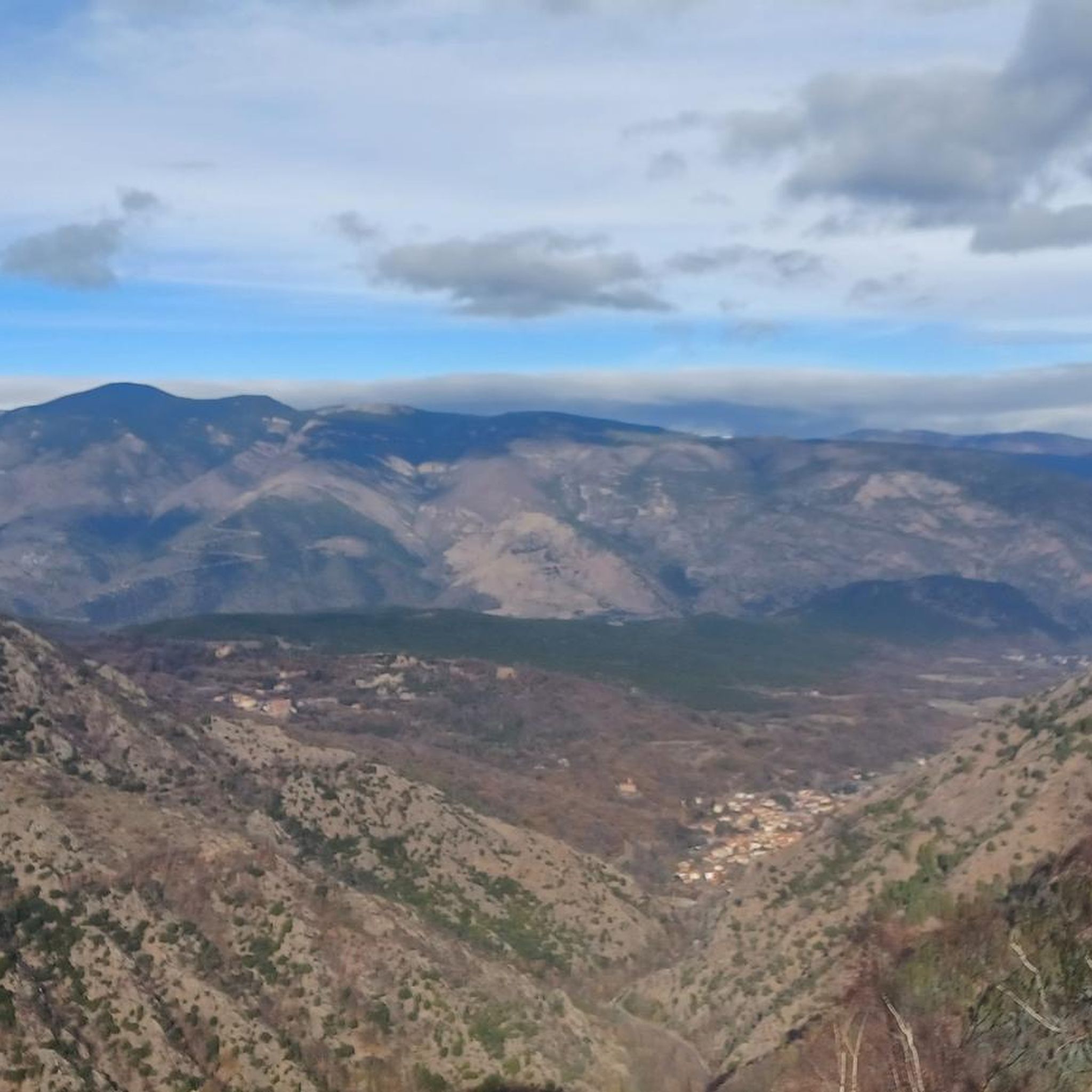

Tips from the Community

The Col de Jou from Villefranche de Conflent is a climb in the French Pyrenees. This climb is 11.4 kilometers long and has a positive elevation gain of 687 meters. The Col de Jou from Villefranche de Conflent has an average gradient of 6%.
15
0

A fairly difficult hike all the same for an occasional hiker because of the very rough ground and many steps. We tend to believe that we are marking time on the spot. Hiking equipment and water are essential. The descent is just as challenging. 960m of D+ Constant. Breathtaking viewpoint
0
0

Col des Voltes From here it is another 3 km to the refuge des Cortalets
1
0

Return to the road going down (rocky then forest track) from the Col des Roques Blanches.
2
0
Ridden in Gravel, well loaded: it's fine, but you don't have to be in a hurry! From the Conques refuge, no walls that are too steep, but lots and lots of stones. You can hear (and maybe see?) the marmots. The breathtaking views along the way will not make you regret a single drop of sweat! However, be careful of cows which can block the path, especially if they have young ones.
0
0

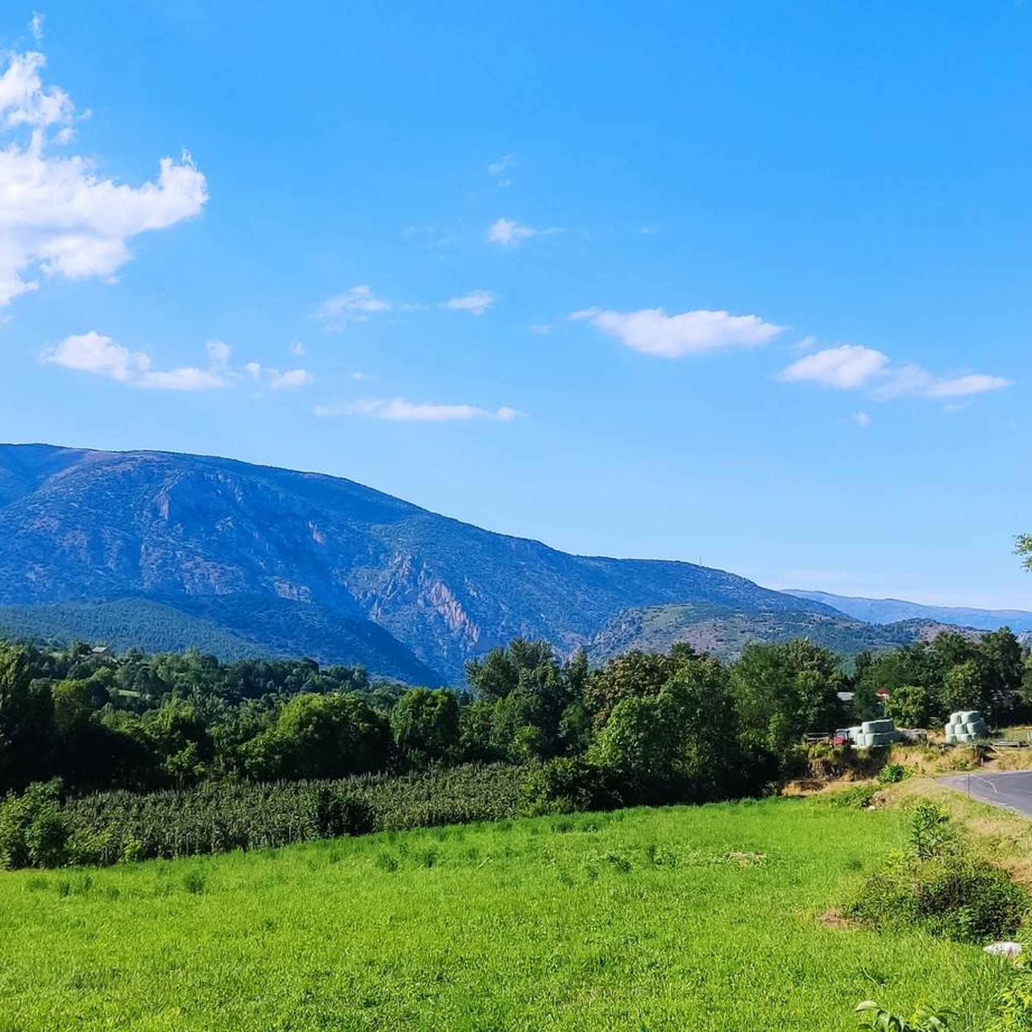
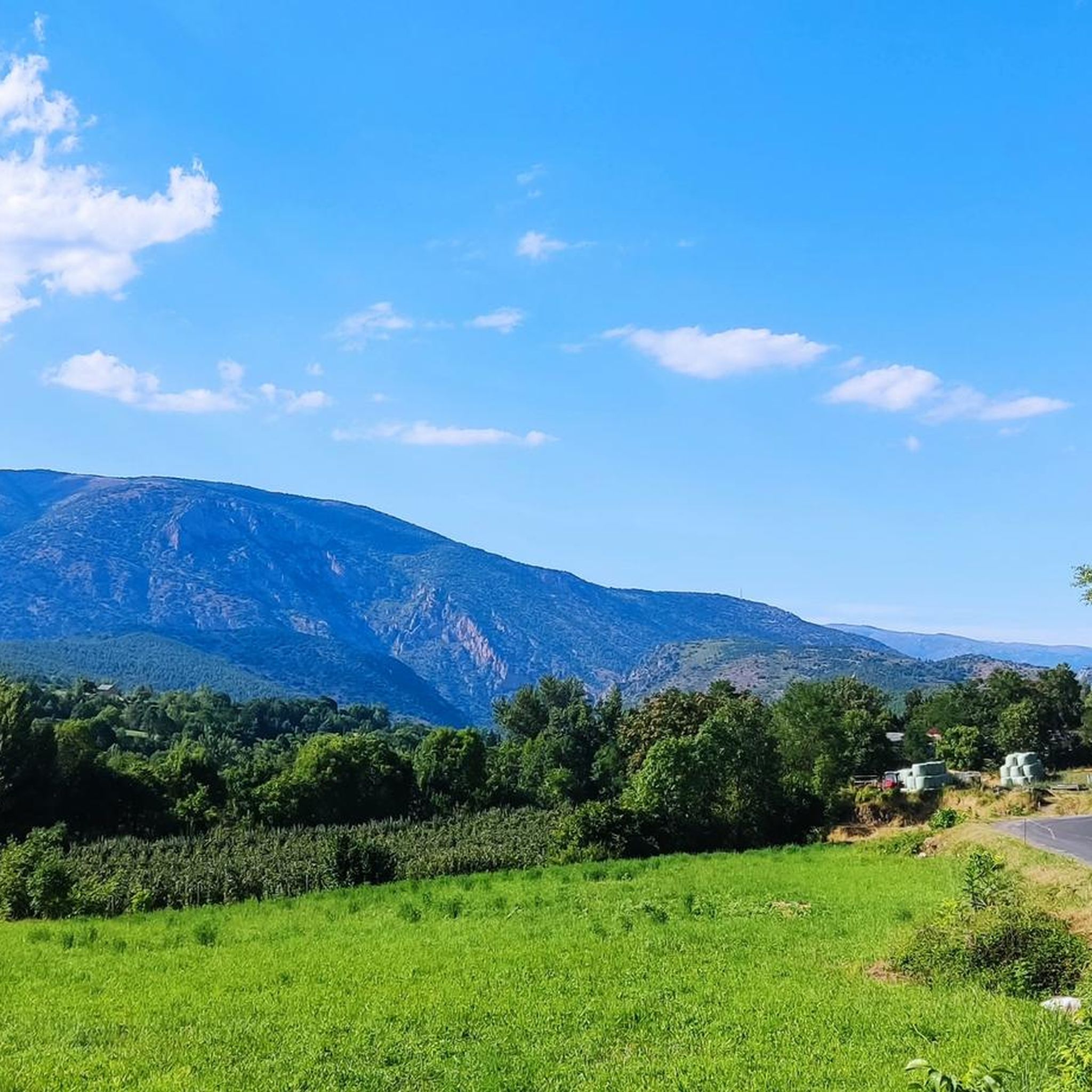
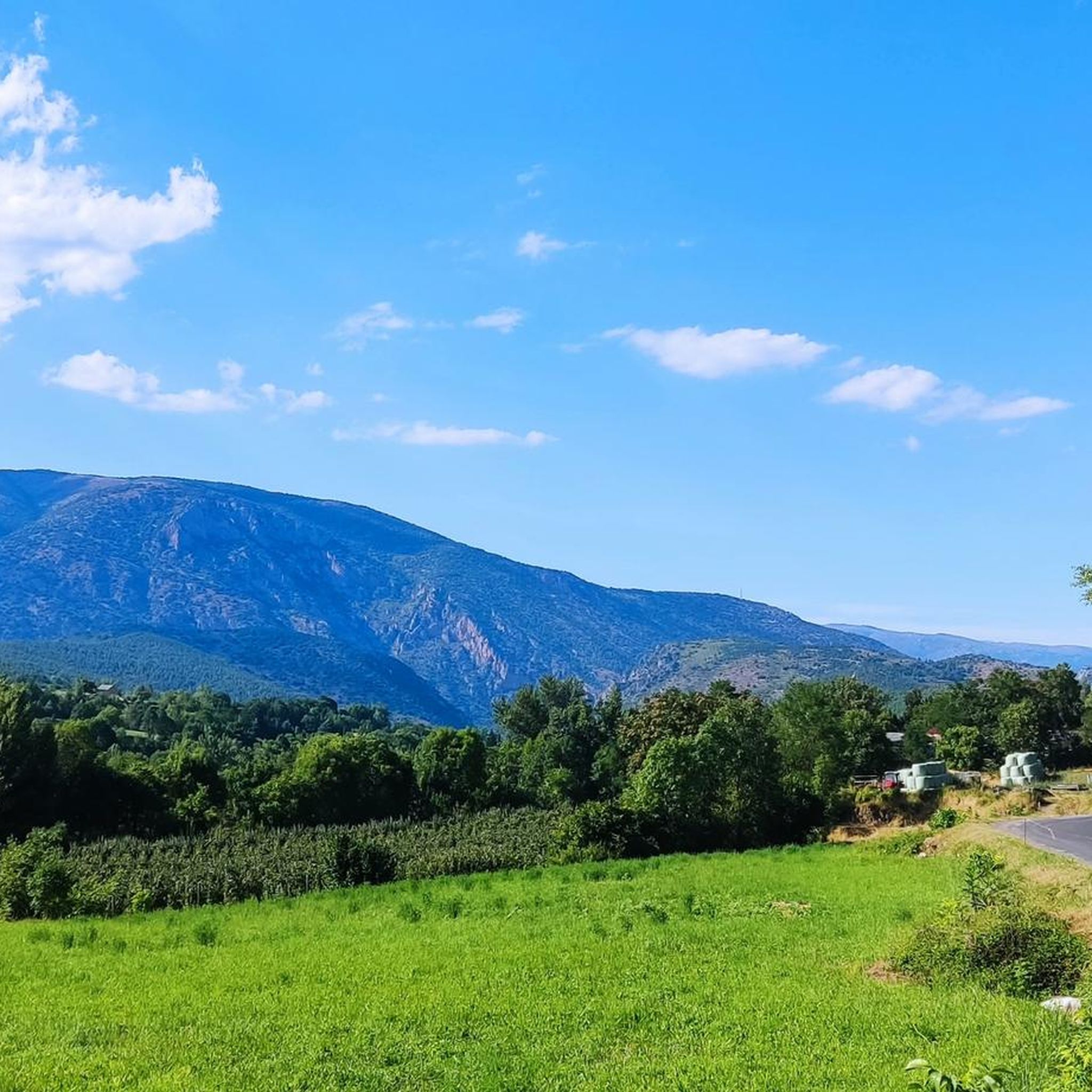
The Col de Jou peaks at an altitude of 1,125 meters. It is a well-known rallying point for local hikers. Indeed, the GR 10 passes through there, and it is the starting point for many hikes including the one that connects Canigou peak.
1
0

High point between Conflent and Vallespir. Magnificent view that deserves. Possible to descend by the GR or by the 4x4 path towards Prats de Mollo.
1
0

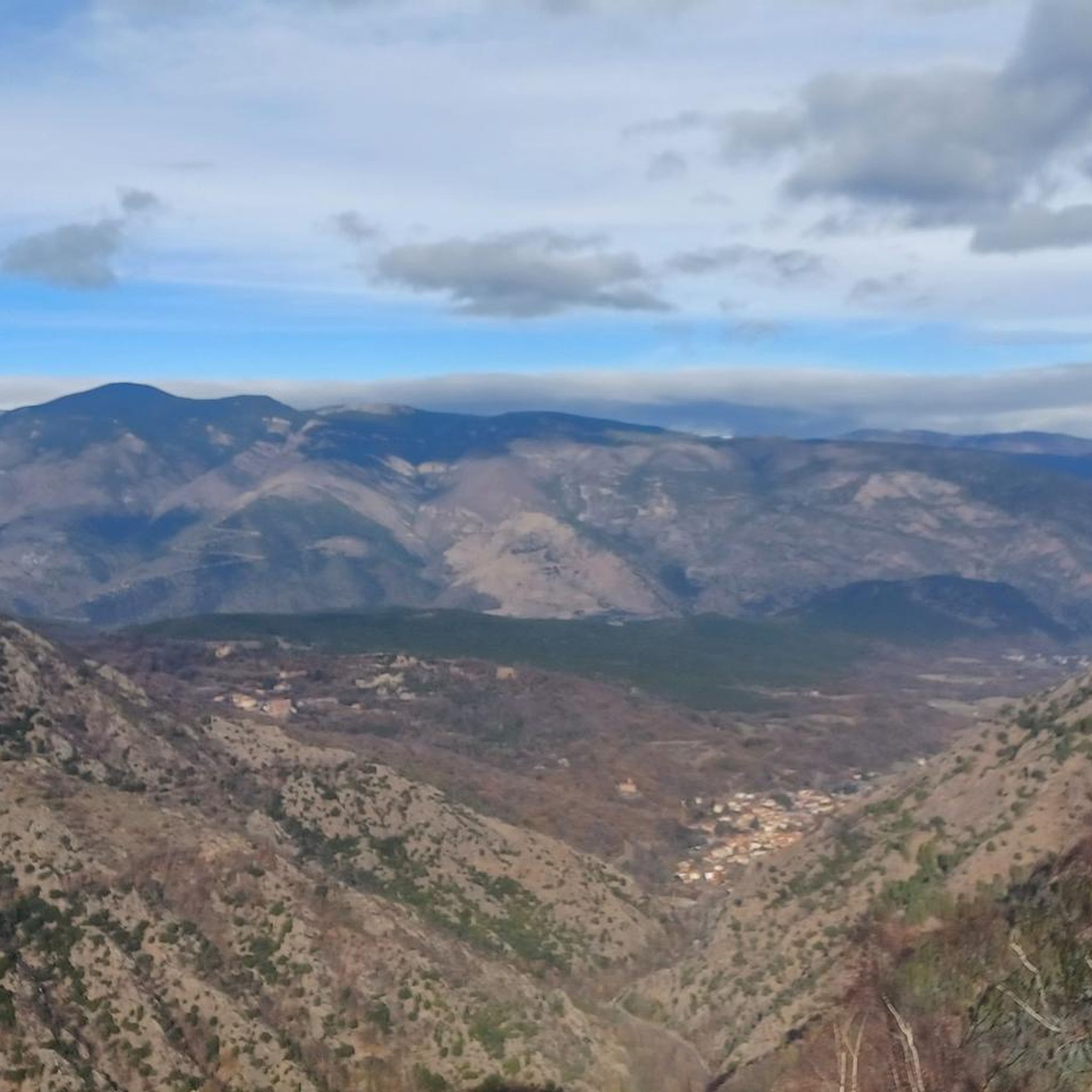
Pla Guillem is 2,290 meters above sea level. It is located on the Canigou tour between the Miriailles refuge and the village of Prats-de-Mollo-la-Prest. There is also a path that leads to a beautiful ridge made up of peaks around 2,700 meters above sea level.
0
0
Frequently Asked Questions
Which mountain passes around Sahorre are best for hiking?
The Jou Pass is a popular starting point for hikers, including those heading towards the peak of Canigou and the GR 10 long-distance hiking trail. Another option is the Voltes Pass, which offers a challenging hike with rough terrain and rewarding viewpoints.
Are there challenging mountain passes for experienced cyclists near Sahorre?
Yes, the Collade des Roques Blanches (2252 m) presents a significant challenge. It features an ascent of over 1,517 meters from Prats de Mollo, with the upper third being unpaved white gravel and gradients reaching 10-12%. It's best suited for mountain bikes due to its steepness and terrain.
What kind of views can I expect from the mountain passes around Sahorre?
The mountain passes in the region offer expansive mountain vistas. For instance, Mentet Pass, at 2,412 meters, provides impressive high-altitude views. Pla Guillem also offers access to high-altitude ridges with magnificent views.
What outdoor activities can I do near these mountain passes?
The area around Sahorre is excellent for various outdoor activities. You can find numerous routes for hiking, road cycling, and gravel biking. Many routes incorporate the mountain passes, offering scenic and challenging experiences.
Are there any multi-day trekking opportunities involving these passes?
Yes, Pla Guillem is situated on the Canigou tour, making it a key point for multi-day treks. It lies between the Mariailles refuge and the village of Prats-de-Mollo-la-Preste, offering access to high-altitude ridges.
What is the best time of year to visit the mountain passes around Sahorre?
While specific seasonal data isn't provided, the Pyrenees region generally offers the best hiking and cycling conditions from late spring through early autumn (May to October). Winter can bring snow and challenging conditions, especially at higher altitudes like Mentet Pass or Pla Guillem.
Are there any beginner-friendly mountain passes for hiking?
The Jou Pass, while a rallying point for hikers, also serves as a starting point for various trails. Some shorter, easier loops, such as the 'Jou Pass – Goa Tower loop from Col de Jou' (2.3 km), are available for those seeking a less strenuous experience.
Where can I find accommodation or amenities near the mountain passes?
Sahorre itself is a tranquil village that can serve as a base. For specific passes, the Mariailles refuge is mentioned in relation to Jou Pass and Pla Guillem, providing a potential stop for multi-day trekkers. Larger towns in the region would offer more comprehensive amenities.
What are the elevation gains for some of the passes?
The Jou Pass from Villefranche de Conflent involves a positive elevation gain of 687 meters over 11.4 kilometers. The Collade des Roques Blanches has a challenging ascent of over 1,517 meters from Prats de Mollo.
Can I reach these mountain passes by public transport?
While Sahorre is accessible, direct public transport to the specific trailheads of all mountain passes may be limited. It's advisable to check local transport options or consider driving to access the starting points for hikes and rides.
What makes the mountain passes around Sahorre unique?
The mountain passes around Sahorre offer a blend of well-known hiking points and remote, challenging ascents. They are appreciated by the komoot community for their scenic beauty, with over 90 upvotes and more than 30 photos contributed by users, showcasing the diverse terrain of the Catalan Pyrenees.
Most popular routes around Sahorre
Most popular attractions around Sahorre

Get inspired with the komoot mobile app


Explore more
See even more epic mountain passes by checking out these guides around Sahorre:
