The best running trails around Prats-De-Mollo-La-Preste
4.3
(31)
2,797
runners
12
runs
Jogging routes around Prats-De-Mollo-La-Preste offer diverse terrain within the southernmost French Pyrenees. The region features a significant altitude range, from 525 meters to 2693 meters above sea level, providing varied landscapes for runners. Characterized by vast forests covering 85% of its area and mountainous terrain, the area is crisscrossed by numerous trails. The Tech River and its tributaries also create refreshing running routes through river valleys.
Best jogging routes around Prats-De-Mollo-La-Preste
- The most popular jogging route is Coll d'Arès –…
Last updated: June 28, 2026
3.0
(1)
16
runners
18.4km
03:20
1,320m
1,320m
Hard run. Very good fitness required. Sure-footedness, sturdy shoes and alpine experience required.
10
runners
10.6km
01:44
680m
680m
Hard run. Very good fitness required. Mostly paved surfaces. Suitable for all skill levels.

Sign up for free
3.0
(1)
15
runners
39.5km
05:38
1,810m
1,810m
Hard run. Very good fitness required. Mostly paved surfaces. Suitable for all skill levels.
5.0
(1)
7
runners
19.0km
02:52
950m
950m
Hard run. Very good fitness required. Mostly paved surfaces. Suitable for all skill levels.
7
runners
Hard run. Very good fitness required. Sure-footedness, sturdy shoes and alpine experience required.
Get access to more routes and recommendations from other explorers.
Sign up for free
Already have an account?
Our route recommendations are based on thousands of hikes, rides, and runs completed by other people on komoot.
Start today with a free account
Your next adventure awaits.
Login or Signup
Popular around Prats-De-Mollo-La-Preste
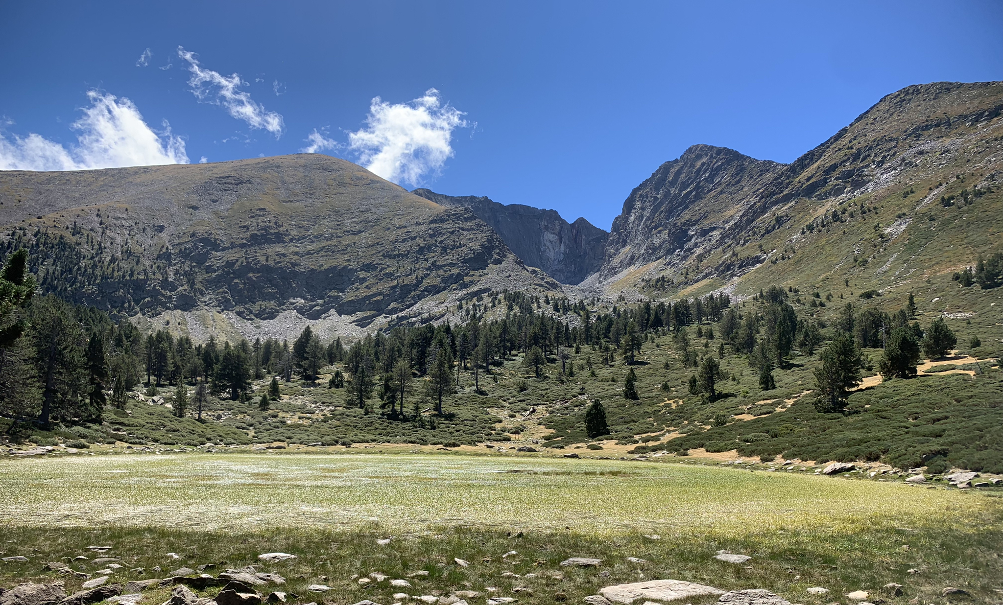
Tour du Canigou – Through the heart of the Mediterranean Pyrenees

Haute Route Pyrénéenne – Pyrenees Crossing
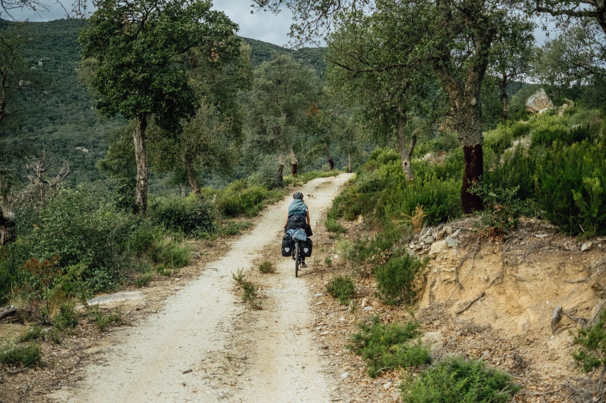
In search of the sun – between the Pyrenees and the Mediterranean
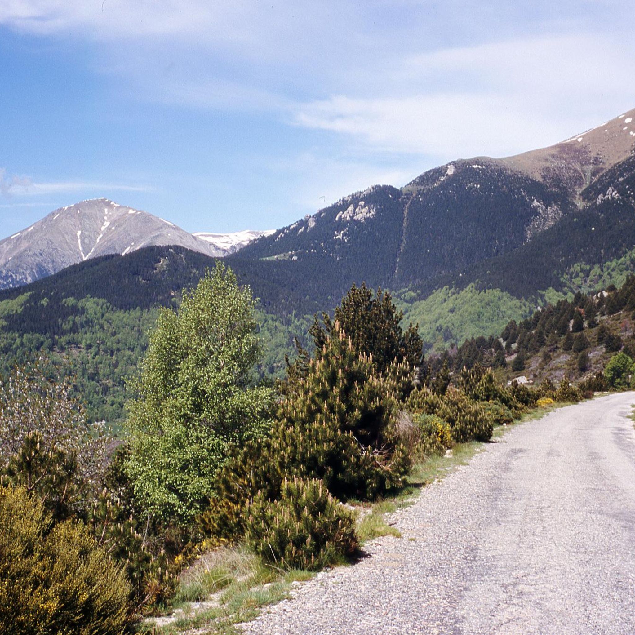
Hiking around Prats-De-Mollo-La-Preste
Road Cycling Routes around Prats-De-Mollo-La-Preste
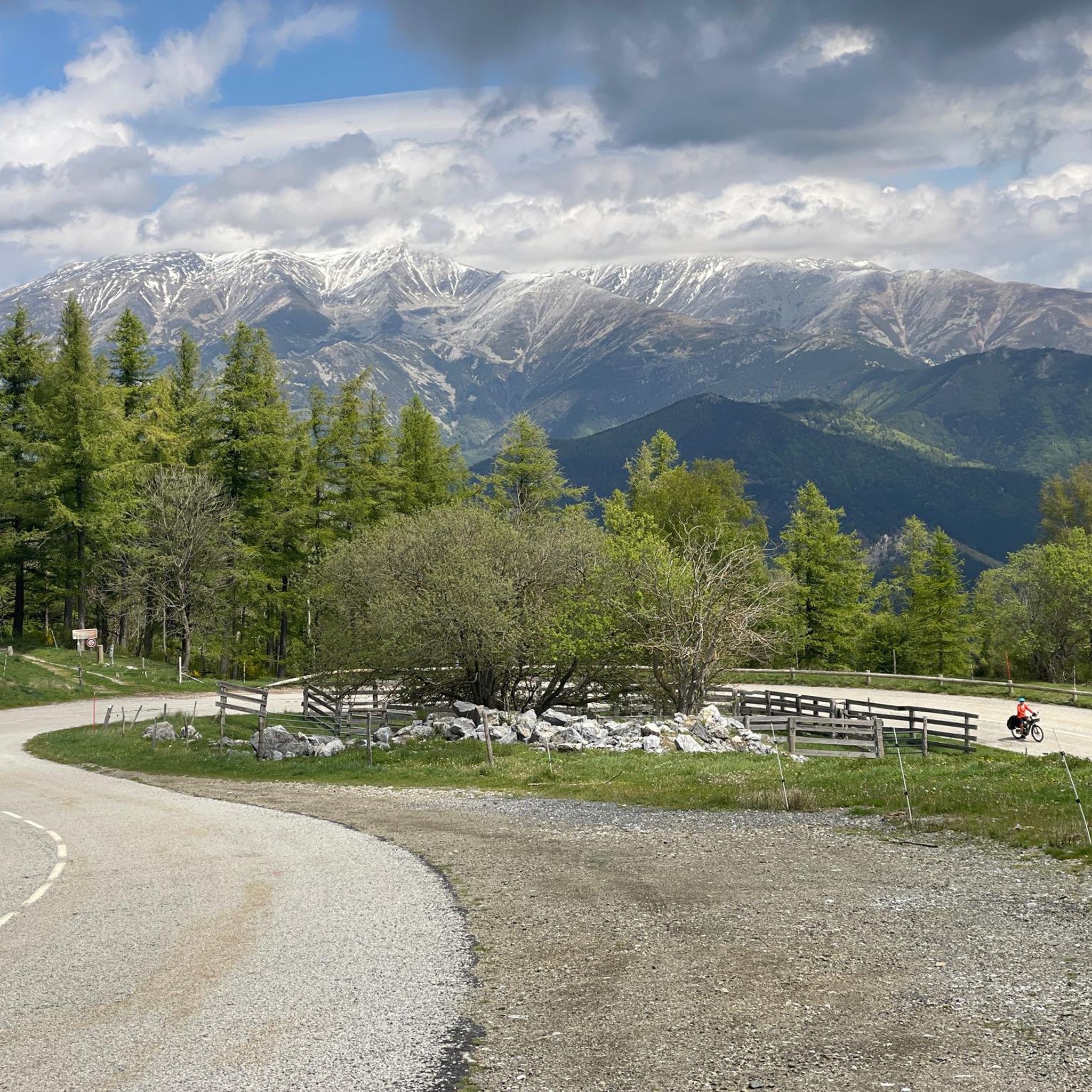
MTB Trails around Prats-De-Mollo-La-Preste
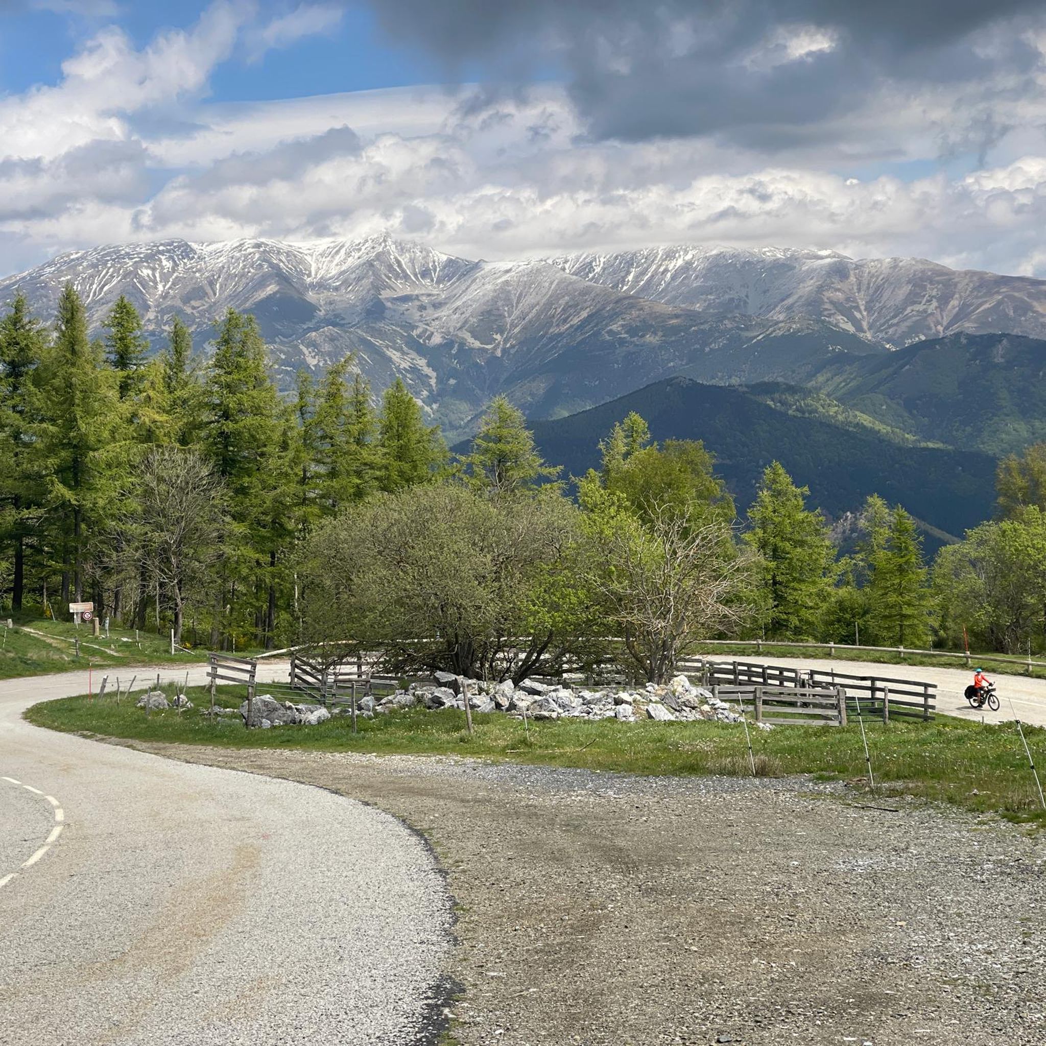
Cycling around Prats-De-Mollo-La-Preste

Mountain Hikes around Prats-De-Mollo-La-Preste

Gravel biking around Prats-De-Mollo-La-Preste
Other adventures around Prats-De-Mollo-La-Preste


Tips from the Community

Walk without too much difficulty
0
0

A pass that is not too difficult to climb and offers a magnificent landscape when crossing the border at the summit.
0
0

It is a mountain pass located at an altitude of 1,513 metres, on the border between France and Spain, connecting Vallespir (France) with Ripollès (Catalonia, Spain). It is a historic and strategic place, used for centuries as a trade route and also during the Retirada (1939), when thousands of refugees crossed the pass fleeing the Spanish Civil War. Today, it is a popular hiking spot and offers spectacular panoramic views of the Pyrenees.
6
0
It was built on the ruins of an old medieval watchtower to reinforce the defence of the Vallespir after the Treaty of the Pyrenees, which established the border between France and Spain. The fort was designed to withstand prolonged sieges, with food stores and a structure capable of protecting both the garrison and the village. A curiosity is that, for centuries, the inhabitants of Prats-de-Mollo could take refuge in the fort in case of invasions, going up through the underground tunnels. In addition to its military use, the fort has also been the scene of festivals and cultural events, such as the celebration of the Fête de l'Ours (Bear Festival), a local tradition that symbolises the struggle between man and nature.
7
0
Built in the 17th century by order of Vauban, Louis XIV's military engineer, to defend the border with Spain after the signing of the Treaty of the Pyrenees in 1659, the fortress is situated on a hill above the village, offering strategic views. It has underground tunnels that connect to the village and was key to the control of the region.
7
0
https://www.youtube.com/watch?v=dLKV5Y7mv40 The town keeps alive many Catalan traditions, such as the Bear Festival (La Fête de l'Ours), which is celebrated every year in February. This festival is one of the oldest and most representative of Pyrenean folklore, symbolizing the struggle between man and nature.
1
0
The village has a strong medieval character, with well-preserved walls and a citadel, Fort Lagarde, which dominates the town from above. This fort was built in the 17th century and is an important symbol of border defence during that period.
1
0

Frequently Asked Questions
How many running routes are available in Prats-De-Mollo-La-Preste?
There are 12 dedicated running routes around Prats-De-Mollo-La-Preste, offering a variety of terrains and distances for all levels of runners.
What kind of terrain can I expect on jogging routes in Prats-De-Mollo-La-Preste?
The region offers a diverse range of terrains, from vast forests covering 85% of the area to mountainous paths with significant altitude changes. You'll find routes along river valleys, through the Reserve Naturelle de Prats-de-Mollo-La-Preste, and even trails with views towards the Mediterranean.
Are there any easy running routes for beginners in Prats-De-Mollo-La-Preste?
While many routes in Prats-De-Mollo-La-Preste are challenging, there are options for those seeking a moderate pace. For example, the Coll d'Ares – Col d'Ares loop from Col d'Ares is a moderate 9.6 km trail that offers a good balance of distance and elevation.
Where can I find long-distance running trails in the area?
For a longer and more challenging run, consider the Prats-de-Mollo-la-Preste loop from Barrage de l'Abeillanouse. This difficult route spans 38.5 km and features significant elevation gain, perfect for experienced trail runners looking for an endurance challenge.
Are there any circular jogging routes available?
Yes, many of the running routes in Prats-De-Mollo-La-Preste are circular, allowing you to start and finish at the same point. An example is the Coll d'Ares – Col d'Ares loop from Col d'Ares, which is a moderate 9.6 km circular trail.
What natural landmarks or attractions can I see while jogging?
The region is rich in natural beauty. You might encounter stunning waterfalls like the Saint-Vincent Waterfall or the English Falls. The trails also offer views of the majestic Canigou Massif and lead through parts of the Reserve Naturelle de Prats-de-Mollo-La-Preste.
Are there any routes that pass by mountain huts or refuges?
Yes, some of the more extensive trails in the region can lead you near mountain huts. For instance, the area features refuges like the Cortalets Refuge and Coma de Vaca Refuge, which can be points of interest on longer runs, though specific jogging routes may not pass directly through them.
What do other runners enjoy most about jogging in Prats-De-Mollo-La-Preste?
The running routes in Prats-De-Mollo-La-Preste are highly rated by the komoot community, with an average score of 4.3 stars. Runners often praise the diverse and breathtaking natural landscapes, the extensive network of trails, and the inspiring mountain views, particularly those of the Pyrenees and the Mediterranean.
Are there any jogging routes suitable for families?
While many routes are challenging, families looking for a less strenuous experience might enjoy exploring the lower altitude forest paths or sections of the interpretive trails within the Reserve Naturelle de Prats-de-Mollo-La-Preste, which offer easier terrain and beautiful scenery.
Is it possible to find routes with good viewpoints?
Absolutely. Given the region's mountainous terrain and significant altitude range, many running trails offer spectacular panoramic views. The Coll d'Ares – Col d'Ares loop from Col d'Ares, for example, provides excellent vistas of the surrounding Pyrenean landscape.
What is the best time of year for running in Prats-De-Mollo-La-Preste?
The region is ideal for outdoor activities for much of the year. Spring and autumn offer pleasant temperatures and vibrant scenery. Summer provides refreshing routes along rivers and waterfalls, while the extensive trail network means there are options even in winter, though higher mountain paths may require specific gear or be inaccessible due to snow.
Are there any routes that pass through the town of Prats-de-Mollo itself?
While most routes focus on the natural surroundings, the charming medieval town of Prats-de-Mollo, with its cobbled streets and ramparts, offers unique urban jogging opportunities. You can often connect these urban paths to the surrounding natural trails, such as the start of the Prats-de-Mollo-la-Preste loop from Barrage de l'Abeillanouse.
Most popular routes around Prats-De-Mollo-La-Preste
Most popular attractions around Prats-De-Mollo-La-Preste

Get inspired with the komoot mobile app


Explore more
Browse the best Running Trails & Routes in other regions.
