The best running trails around Montferrer
4.5
(24)
1,133
runners
76
runs
Jogging routes around Montferrer traverse a landscape characterized by majestic mountains and the Vallespir valley in the Pyrénées-Orientales department. The terrain includes forests, alpine meadows, and paths along tranquil rivers like the Tech. Routes often feature significant elevation changes, offering views over the Roussillon plain and towards the Pyrenean peaks. This diverse environment provides a range of running experiences from gentle paths to more challenging mountain trails.
Best jogging routes around Montferrer
- The most popular jogging route is Arles-sur-Tech –…
Last updated: September 4, 2026
5.0
(1)
45
runners
9.31km
00:59
70m
80m
Moderate run. Good fitness required. Mostly paved surfaces. Suitable for all skill levels.
13
runners
13.8km
02:38
1,030m
1,030m
Hard run. Very good fitness required. Sure-footedness, sturdy shoes and alpine experience required.

Sign up for free
4.0
(2)
10
runners
15.4km
02:13
820m
830m
Hard run. Very good fitness required. Mostly paved surfaces. Suitable for all skill levels.
14
runners
19.9km
02:08
200m
200m
Hard run. Very good fitness required. Mostly paved surfaces. Suitable for all skill levels.
9
runners
24.8km
03:25
1,020m
1,020m
Hard run. Very good fitness required. Mostly paved surfaces. Suitable for all skill levels.
Get access to more routes and recommendations from other explorers.
Sign up for free
Already have an account?
Our route recommendations are based on thousands of hikes, rides, and runs completed by other people on komoot.
Start today with a free account
Your next adventure awaits.
Login or Signup

Tips from the Community

again and again beautiful cycle path sections along the river,
1
0

The linguistic proximity of the "Pont Eiffel", which spans the valley here, and the low mountain range "Eifel" in the far west of Germany is no coincidence: The family of the designer - whose world-famous Tower of Paris (named after its builder) is probably known to everyone - has German roots. The ancestors of the Eiffel Tower builder Gustave EIFFEL come from the Eifel town of Marmagen (in the Euskirchen district, North Rhine-Westphalia). The village square there - if you are interested, see the following hiking highlight https://www.komoot.com/de-de/highlight/1830307 - is named after him.
0
0

Old railway line along the Tech with a magnificent panorama of the Pyrenees.
1
1

The Tech River between Palalda and Reynès flows through a picturesque landscape in the Vallespir, a mountainous area of the Pyrénées-Orientales. This stretch of the river is known for its serenity and natural setting, with green mountains and Mediterranean forests on both sides.
2
0
For a moment on the bridge, you might like it.
1
0

The original construction of the bridge was two-story. The lower lane was for road traffic, the upper one for rail traffic. The bridge girder consisted of two massive metal girders in a truss construction. The span of the bridge is 60 m, the carriageway widths of the underpasses measure 8 m and 13.5 m.
11
0

Part of the cycle-track from Ceret to Amelie-les-Bains
0
0

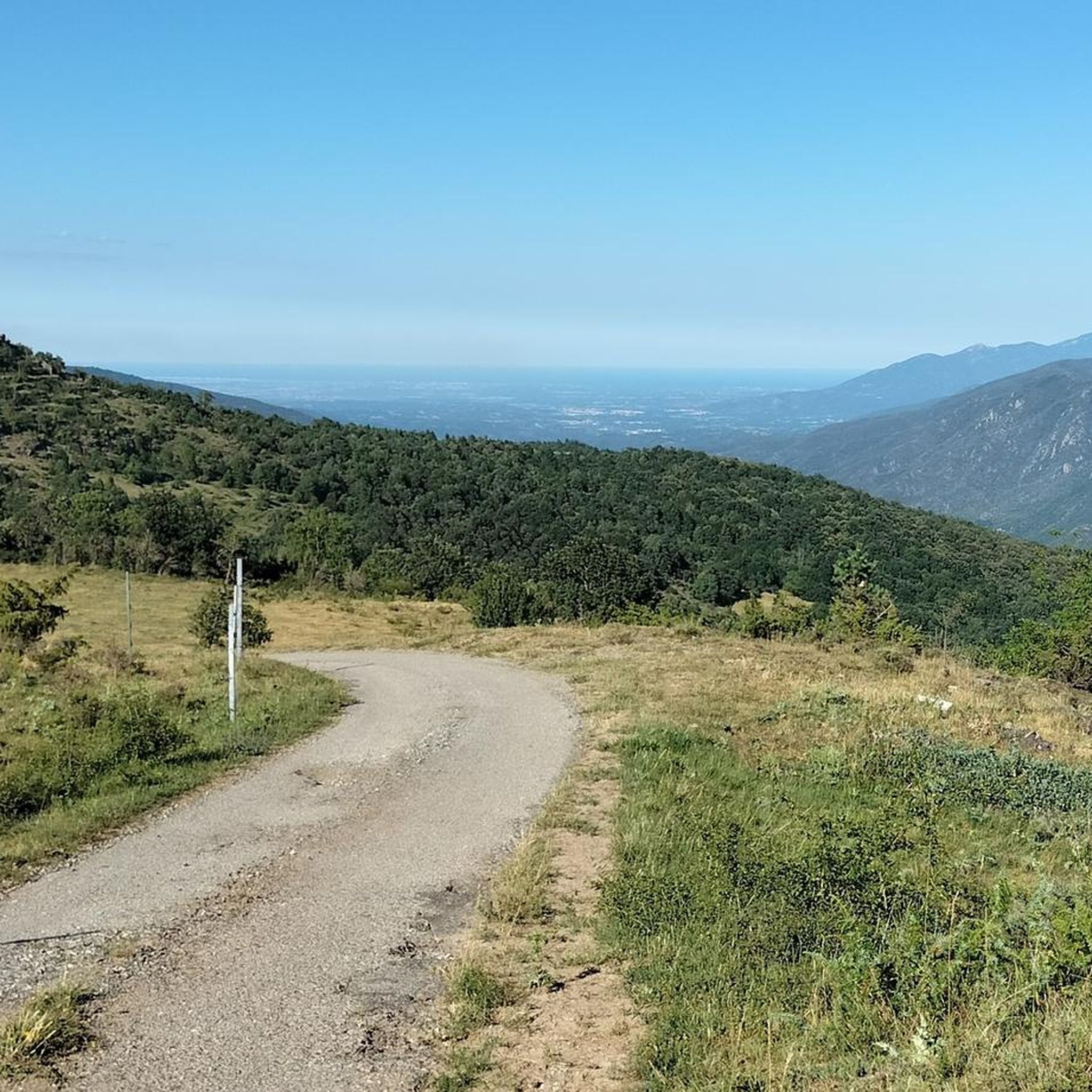
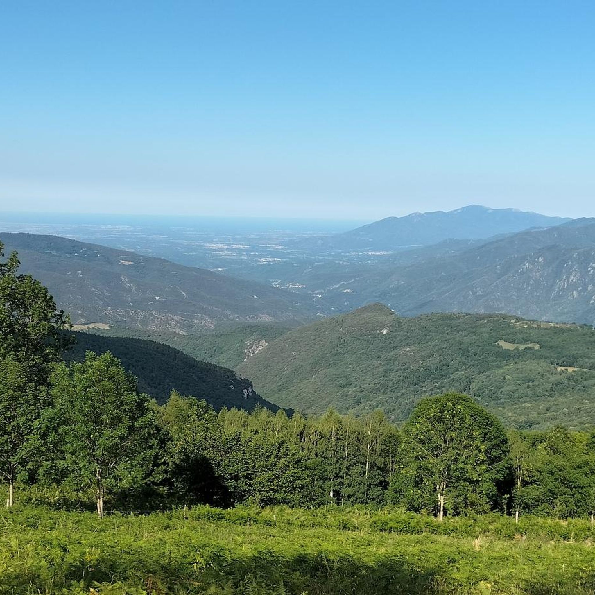
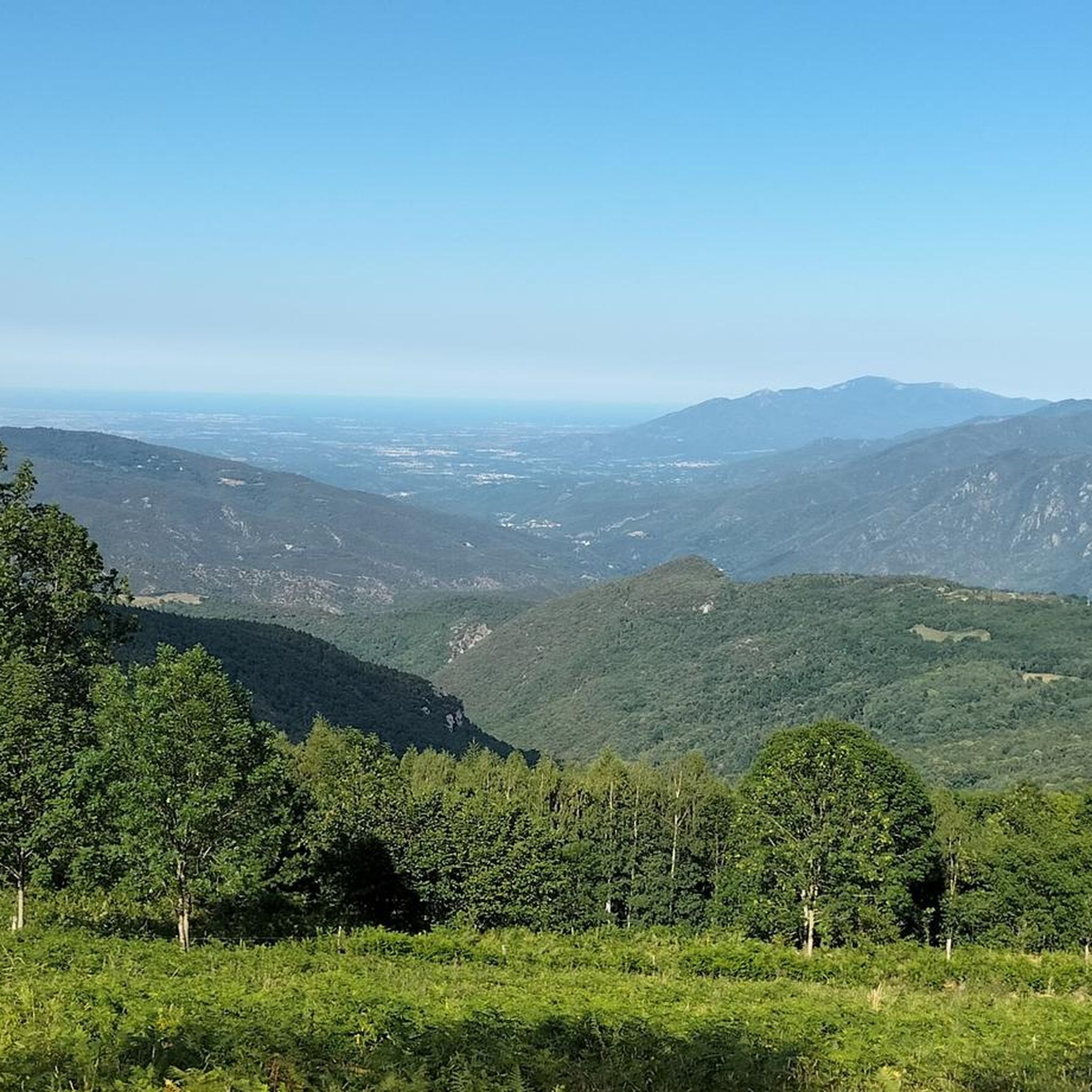
The Paracolls pass is the summit of several hikes that crisscross the surrounding area. It is a clear pass which offers very beautiful panoramas.
0
0
Frequently Asked Questions
How many running routes are available around Montferrer?
Montferrer and its surrounding area offer a wide selection of running routes. You can find over 65 routes on komoot, catering to various fitness levels, from easy paths to challenging mountain trails.
Are there any easy jogging routes suitable for beginners in Montferrer?
Yes, Montferrer has several easy running routes perfect for beginners or those looking for a relaxed jog. There are 3 easy routes available, offering gentle terrain and manageable distances. These paths often traverse tranquil valleys and offer pleasant scenery without significant elevation gain.
What kind of scenery can I expect on the jogging trails in Montferrer?
Jogging in Montferrer offers incredibly diverse scenery. You'll experience majestic mountains, the picturesque Vallespir valley, and routes that wind through forests and alpine meadows. Many trails provide breathtaking panoramas of the Pyrenean peaks, including the iconic Pic du Canigou, and views extending to the Roussillon plain and even the Mediterranean Sea on clear days.
Are there any family-friendly running routes in the Montferrer area?
While many routes in Montferrer involve significant elevation, some of the easier paths along the Tech river, such as the Arles-sur-Tech loop from Arles-sur-Tech, can be suitable for families looking for a less strenuous run. These routes often feature gentler gradients and pleasant surroundings.
Can I bring my dog on the running trails around Montferrer?
Many trails in the Montferrer region are suitable for running with dogs, especially those that pass through natural landscapes like forests and meadows. It's always recommended to keep your dog on a leash, especially in areas with wildlife or livestock, and to check local regulations for specific trails or protected areas.
What are some notable landmarks or points of interest I might see while running in Montferrer?
The Montferrer region is rich in natural beauty and historical sites. While running, you might catch glimpses of the symbolic Canigou mountain, enjoy panoramic views from spots like Panoramic View of the Canigou, or pass by the historic Reynès Iron Bridge. The area also features ancient dolmens like Dolmen de La Caixa de Rotllan and charming settlements such as Prats-de-Mollo-la-Preste.
Are there many circular running routes available?
Yes, many of the running routes around Montferrer are designed as loops, allowing you to start and finish in the same location. For example, the popular Arles-sur-Tech – Pirinexus le Tech loop from Arles-sur-Tech is a great circular option, as is The Soca loop from Montferrer, which offers a more challenging run directly from the village.
What do other runners say about the trails in Montferrer?
The running trails in Montferrer are highly regarded by the komoot community, boasting an average rating of 4.5 stars from over 20 reviews. Runners frequently praise the stunning mountain views, the variety of terrain, and the opportunity to explore the region's natural beauty.
Are there any challenging running routes for experienced runners?
Absolutely. Montferrer is an excellent destination for experienced runners seeking a challenge. Over 40 of the routes are rated as difficult, featuring substantial elevation gains and rugged mountainous terrain. A prime example is the Arles-sur-Tech – Paracolls Pass loop from Arles-sur-Tech, which includes over 1000 meters of ascent.
What is the best time of year to go jogging in Montferrer?
Montferrer offers good running conditions for much of the year. Spring and autumn generally provide pleasant temperatures and vibrant scenery, making them ideal. Summer can be warm, so early morning or late afternoon runs are recommended. While winter running is possible, some higher elevation trails may be affected by snow or colder conditions.
Where can I find parking for the jogging trails in Montferrer?
Many running routes in the Montferrer area start from villages like Montferrer or Arles-sur-Tech, where public parking is typically available. For specific trailheads, it's advisable to check the route details on komoot, as many routes provide information on starting points and potential parking options nearby.
Are there opportunities for wildlife spotting while running?
Yes, the Vallespir valley and the surrounding mountains are known for their rich and diverse environment of fauna and flora. While running through forests and alpine meadows, you have a good chance of spotting various bird species and other local wildlife, especially during quieter times of the day.
Most popular routes around Montferrer
Most popular attractions around Montferrer

Get inspired with the komoot mobile app


Explore more
Browse the best Running Trails & Routes in other regions.
