The best walks and hikes around Aujac
4.6
(1322)
6,255
hikers
256
hikes
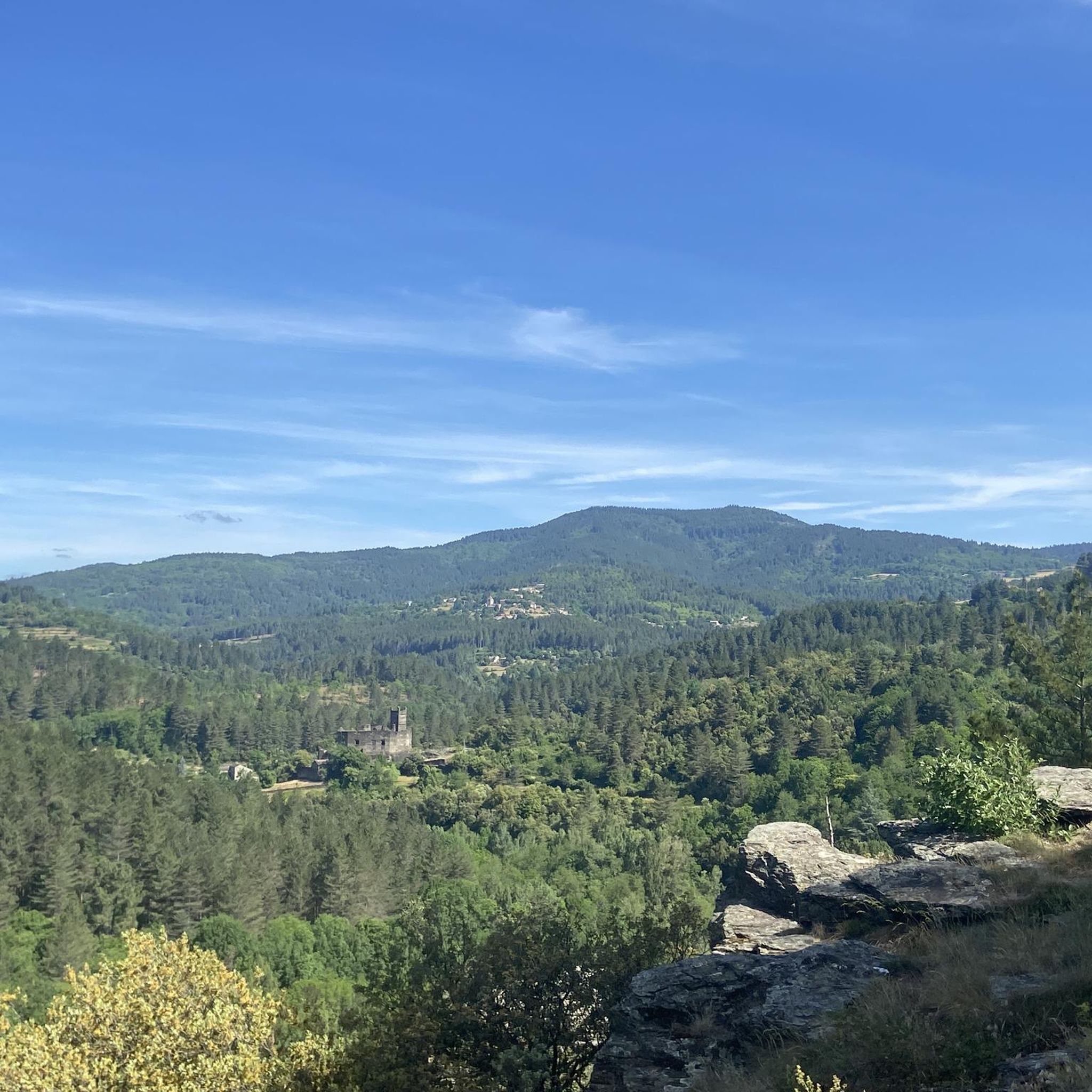
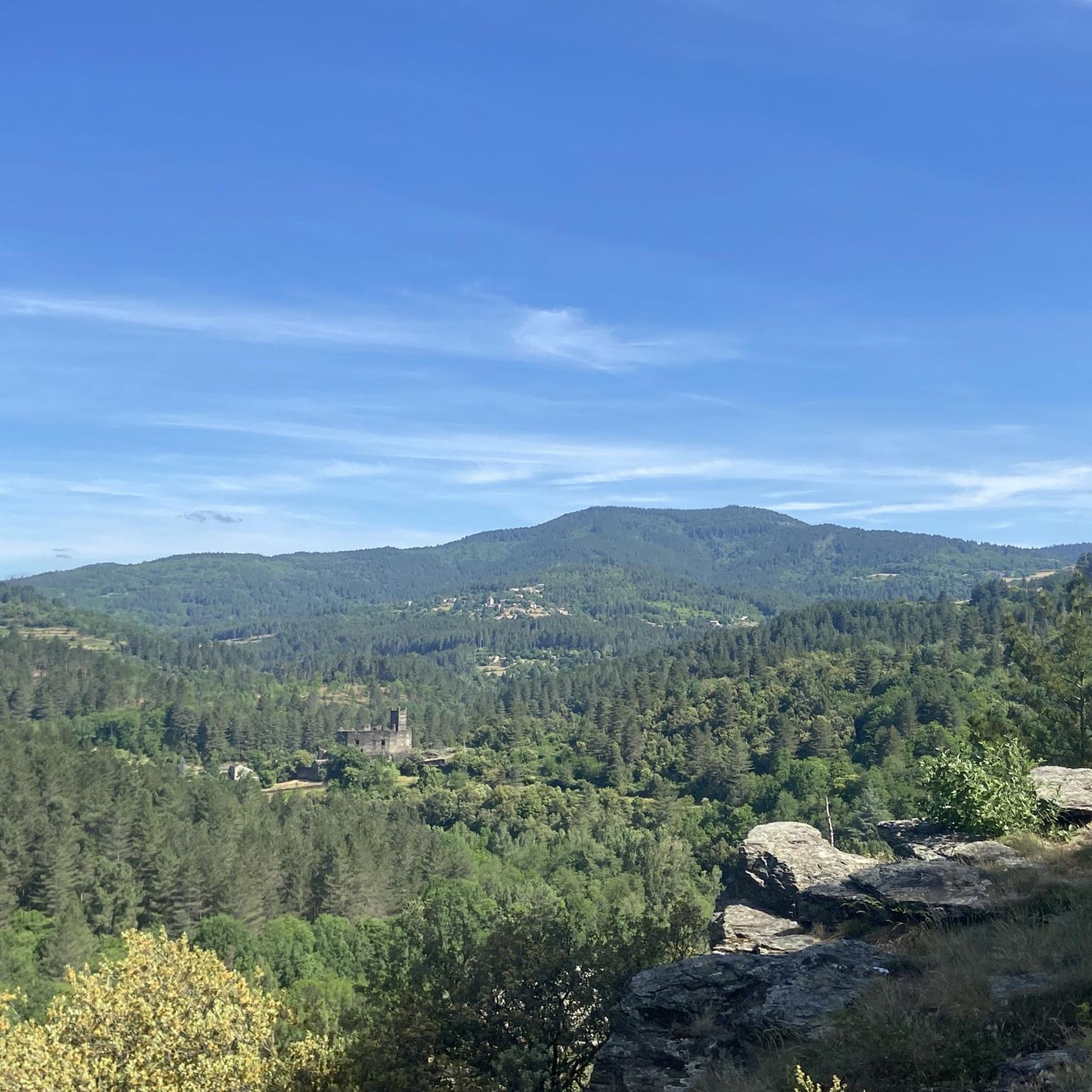
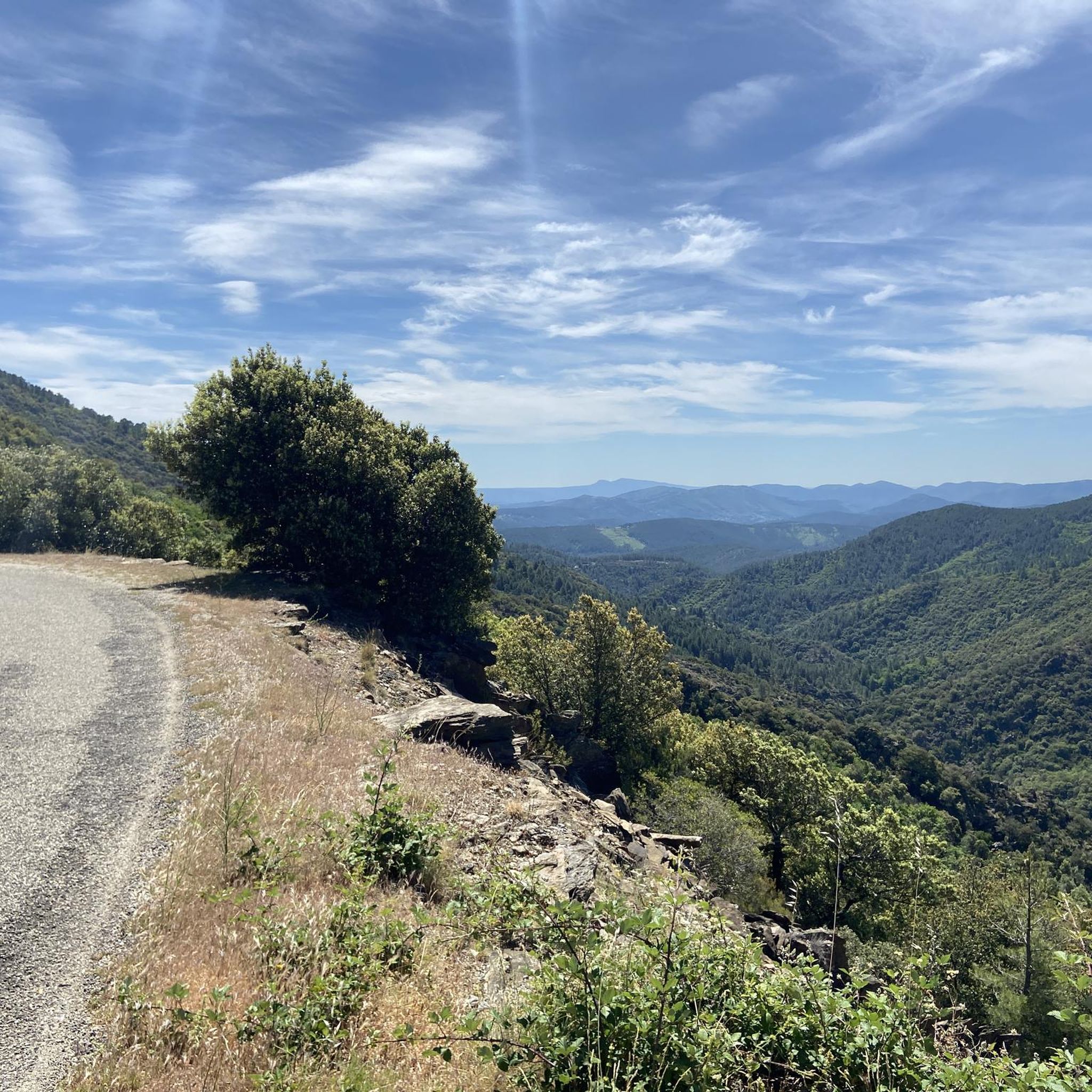
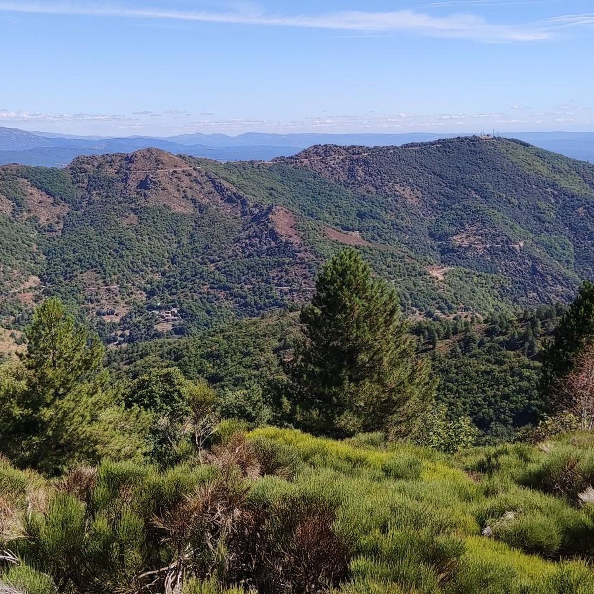
Hiking around Aujac offers diverse landscapes within the Cévennes region of southern France. The area features rugged mountainous terrain, dense forests, and deep valleys, with elevations ranging from 256 to 940 meters. The winding Chassezac River and its spectacular gorges, flanked by limestone cliffs, are prominent natural features. Hikers can explore routes through forests, including areas with chestnut trees, and enjoy views of Mont Lozère.
Best hiking trails around Aujac
- The most popular hiking route is Sénéchas center – Sénéchas…
Last updated: October 11, 2026
4.6
(8)
16
hikers
13.3km
04:09
480m
480m
Moderate hike. Good fitness required. Easily-accessible paths. Suitable for all skill levels.
4.4
(9)
24
hikers
12.3km
04:04
540m
540m
Moderate hike. Good fitness required. Mostly accessible paths. Sure-footedness required.

5.0
(2)
15
hikers
22.2km
06:48
710m
710m
Hard hike. Very good fitness required. Mostly accessible paths. Sure-footedness required.
4.8
(5)
16
hikers
9.72km
03:08
410m
410m
Moderate hike. Good fitness required. Easily-accessible paths. Suitable for all skill levels.
5.0
(2)
5
hikers
8.47km
02:45
370m
370m
Moderate hike. Good fitness required. Easily-accessible paths. Suitable for all skill levels.
Get access to more routes and recommendations from other explorers.
Already have an account?
Our route recommendations are based on thousands of hikes, rides, and runs completed by other people on komoot.
Start today with a free account
Your next adventure awaits.

Tips from the Community

Trail junction by a small river and a former abbey. This has become private property and is no longer accessible. This is the lowest point in the region, from here you can only go uphill.
1
0
This junction is also the name of a very beautiful hamlet, which is being completely restored.
1
0
Hiking junction, you have multiple options here to continue your tour in several directions.
1
0
A path with loose stones, sometimes quite dangerous! ⚠️ Follow the yellow markers carefully! Fortunately, there are beautiful flowers now and then, and blissful views!
1
0
Hiking junction that is part of the hiking network of the Cévennes. From here, an adventurous hiking path leads into the forests and hills. It is not always easy to traverse, sometimes narrow, sometimes steep, and usually full of boulders.
1
0
This hiking junction of the Cévennes network is located near a sheep farm. The sheep can roam freely, and dogs are used to protect the flock from wolves 🐺. You are not allowed to bring your own dog on the hike, not even on a leash.
1
0
Frequently Asked Questions
How many hiking trails are available around Aujac?
There are over 200 hiking routes around Aujac, offering a wide range of options for different skill levels. These trails are highly rated by the komoot community, with an average score of 4.6 stars.
What types of terrain can I expect on hikes around Aujac?
Hiking around Aujac features the rugged, mountainous Cévennes terrain, deep river gorges, and extensive forests, including areas with chestnut trees. Elevations range from 256 to 940 meters, providing diverse landscapes.
Are there easy hiking trails suitable for beginners or families in Aujac?
Yes, Aujac offers a variety of trails for different abilities. Among the over 200 routes, 72 are classified as easy, making them suitable for beginners or families looking for less strenuous walks. An example of an easy route is the Sénéchas center loop from Sénéchas, which is about 3 km long.
What natural features can I see while hiking in Aujac?
Hikers can explore the spectacular gorges of the Chassezac River, flanked by limestone cliffs and lush forests. The region also features numerous chestnut tree forests and views of Mont Lozère. You can also discover natural monuments like the Moulin de Roure Stone Bridge and River.
Are there any circular hiking routes around Aujac?
Yes, many of the trails around Aujac are circular. For instance, the Aujac – Col du Peras (771 m) loop from Bonnevaux is a moderate 12.4 km path, and the Aujac Village – Sénéchas center loop from Sénéchas is a 9.7 km route that takes you through varied terrain between villages.
What historical landmarks or points of interest can I visit near the hiking trails?
A significant landmark is the Château du Cheylard (Château d'Aujac), a medieval fortress perched at 600 meters, surrounded by a preserved hamlet. The charming Aujac village itself, with its Romanesque church, also serves as a cultural point of interest and starting point for many hikes.
Are there opportunities for wild swimming or bathing after a hike?
Yes, the Chassezac River offers clear waters suitable for swimming. A particularly lovely spot for bathing, especially after a descent from Aujac, is near the Moulin de Roure Stone Bridge and River.
What do other hikers enjoy most about the trails in Aujac?
The area is highly rated by the komoot community, with an average score of 4.6 stars from over 1000 reviews. Hikers often praise the diverse landscapes, from rugged mountains to deep river gorges, and the scenic routes through dense forests.
What is the best season for hiking in Aujac?
The Cévennes region, where Aujac is located, offers pleasant hiking experiences through forests, including areas with chestnut trees, which are particularly scenic in autumn. Spring and early summer also provide comfortable temperatures and lush greenery.
Are there any challenging hikes for experienced trekkers?
Yes, for experienced trekkers, Aujac offers more challenging routes. Out of the total trails, 36 are classified as difficult. An example is the Aujac Village – Aujac loop from Aujac, a 22.2 km route with over 700 meters of elevation gain.
Can I bring my dog on the hiking trails in Aujac?
While specific regulations for dogs on every trail can vary, the Cévennes region is generally welcoming to dogs on leash, especially on public footpaths. It's always recommended to keep your dog under control and check for any specific signage on individual routes or protected areas.
Most popular attractions around Aujac

Get inspired with the komoot mobile app


Explore more
Browse the best Hikes in other regions.
